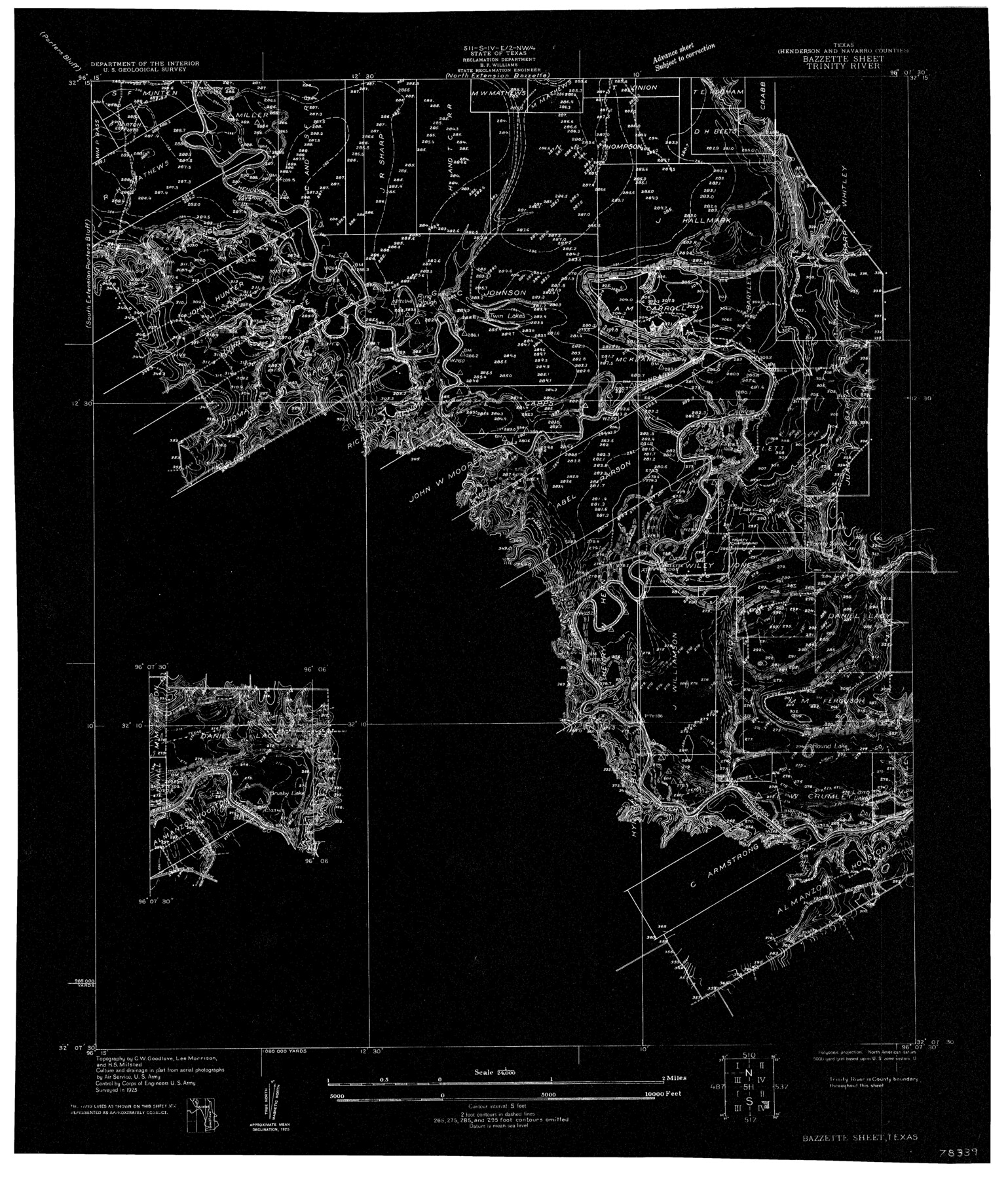
Trinity River, Bazzette Sheet
-
Map/Doc
78339
-
Collection
General Map Collection
-
Object Dates
1925 (Creation Date)
-
People and Organizations
Texas State Reclamation Department (Publisher)
Lee Morrison (Surveyor/Engineer)
W. Goodlove (Surveyor/Engineer)
H.S. Milsted (Surveyor/Engineer)
-
Counties
Henderson Navarro
-
Subjects
River Surveys Topographic
-
Height x Width
27.9 x 23.8 inches
70.9 x 60.5 cm
-
Comments
Bazzette Sheet located south of the North Extension Bazzette Sheet and southeast of the Porters Bluff Sheet.
Part of: General Map Collection
Baylor County Sketch File Z4

Print $2.00
- Digital $50.00
Baylor County Sketch File Z4
1898
Size 9.3 x 7.2 inches
Map/Doc 14114
Hardin County Working Sketch Graphic Index

Print $20.00
- Digital $50.00
Hardin County Working Sketch Graphic Index
1940
Size 45.1 x 45.0 inches
Map/Doc 76567
Callahan County Sketch File 7

Print $18.00
- Digital $50.00
Callahan County Sketch File 7
Size 10.8 x 8.9 inches
Map/Doc 35863
Railroad Track Map, H&TCRRCo., Falls County, Texas

Print $4.00
- Digital $50.00
Railroad Track Map, H&TCRRCo., Falls County, Texas
1918
Size 11.7 x 18.7 inches
Map/Doc 62845
Nueces County Rolled Sketch 87

Print $20.00
- Digital $50.00
Nueces County Rolled Sketch 87
1983
Size 24.2 x 36.9 inches
Map/Doc 6989
Brewster County Working Sketch 72

Print $20.00
- Digital $50.00
Brewster County Working Sketch 72
1965
Size 20.7 x 24.6 inches
Map/Doc 67672
Ward County Working Sketch 1

Print $20.00
- Digital $50.00
Ward County Working Sketch 1
1937
Size 24.7 x 24.5 inches
Map/Doc 72307
Ector County Sketch File 2

Print $3.00
- Digital $50.00
Ector County Sketch File 2
1933
Size 19.4 x 16.1 inches
Map/Doc 11416
Hopkins County Boundary File 3b

Print $4.00
- Digital $50.00
Hopkins County Boundary File 3b
Size 12.7 x 8.3 inches
Map/Doc 55084
Flight Mission No. DQN-7K, Frame 12, Calhoun County

Print $20.00
- Digital $50.00
Flight Mission No. DQN-7K, Frame 12, Calhoun County
1953
Size 18.6 x 22.2 inches
Map/Doc 84463
Hudspeth County Sketch File 24

Print $20.00
- Digital $50.00
Hudspeth County Sketch File 24
1936
Size 17.8 x 16.7 inches
Map/Doc 11802
Montague County Working Sketch 38

Print $20.00
- Digital $50.00
Montague County Working Sketch 38
1990
Size 14.9 x 15.6 inches
Map/Doc 71104
You may also like
Cherokee County Sketch File 12b

Print $6.00
- Digital $50.00
Cherokee County Sketch File 12b
1850
Size 7.9 x 7.7 inches
Map/Doc 18142
Liberty County Working Sketch 66

Print $40.00
- Digital $50.00
Liberty County Working Sketch 66
1970
Size 42.9 x 49.9 inches
Map/Doc 70526
Real County Working Sketch 80

Print $20.00
- Digital $50.00
Real County Working Sketch 80
1984
Size 37.9 x 43.3 inches
Map/Doc 71972
Flight Mission No. DAG-23K, Frame 146, Matagorda County

Print $20.00
- Digital $50.00
Flight Mission No. DAG-23K, Frame 146, Matagorda County
1953
Size 17.0 x 22.4 inches
Map/Doc 86494
Presidio County Sketch File 119

Print $14.00
- Digital $50.00
Presidio County Sketch File 119
1996
Size 14.3 x 9.0 inches
Map/Doc 34927
Flight Mission No. CUG-3P, Frame 34, Kleberg County

Print $20.00
- Digital $50.00
Flight Mission No. CUG-3P, Frame 34, Kleberg County
1956
Size 18.5 x 22.3 inches
Map/Doc 86239
Nueces County Rolled Sketch 73

Print $20.00
- Digital $50.00
Nueces County Rolled Sketch 73
1981
Size 24.2 x 36.0 inches
Map/Doc 6931
Flight Mission No. DAG-23K, Frame 183, Matagorda County

Print $20.00
- Digital $50.00
Flight Mission No. DAG-23K, Frame 183, Matagorda County
1953
Size 18.5 x 22.3 inches
Map/Doc 86518
Mills County Boundary File 9

Print $40.00
- Digital $50.00
Mills County Boundary File 9
Size 13.7 x 8.6 inches
Map/Doc 57318
La Salle County Boundary File 2

Print $2.00
- Digital $50.00
La Salle County Boundary File 2
Size 11.1 x 8.6 inches
Map/Doc 56241
[S. M. Walker, D. P. Allen, J. C. Guinn, J. R. Lamar and surrounding surveys]
![90335, [S. M. Walker, D. P. Allen, J. C. Guinn, J. R. Lamar and surrounding surveys], Twichell Survey Records](https://historictexasmaps.com/wmedia_w700/maps/90335-1.tif.jpg)
Print $3.00
- Digital $50.00
[S. M. Walker, D. P. Allen, J. C. Guinn, J. R. Lamar and surrounding surveys]
1912
Size 9.8 x 11.3 inches
Map/Doc 90335
Gaines County Rolled Sketch 13

Print $40.00
- Digital $50.00
Gaines County Rolled Sketch 13
Size 70.1 x 23.1 inches
Map/Doc 9029