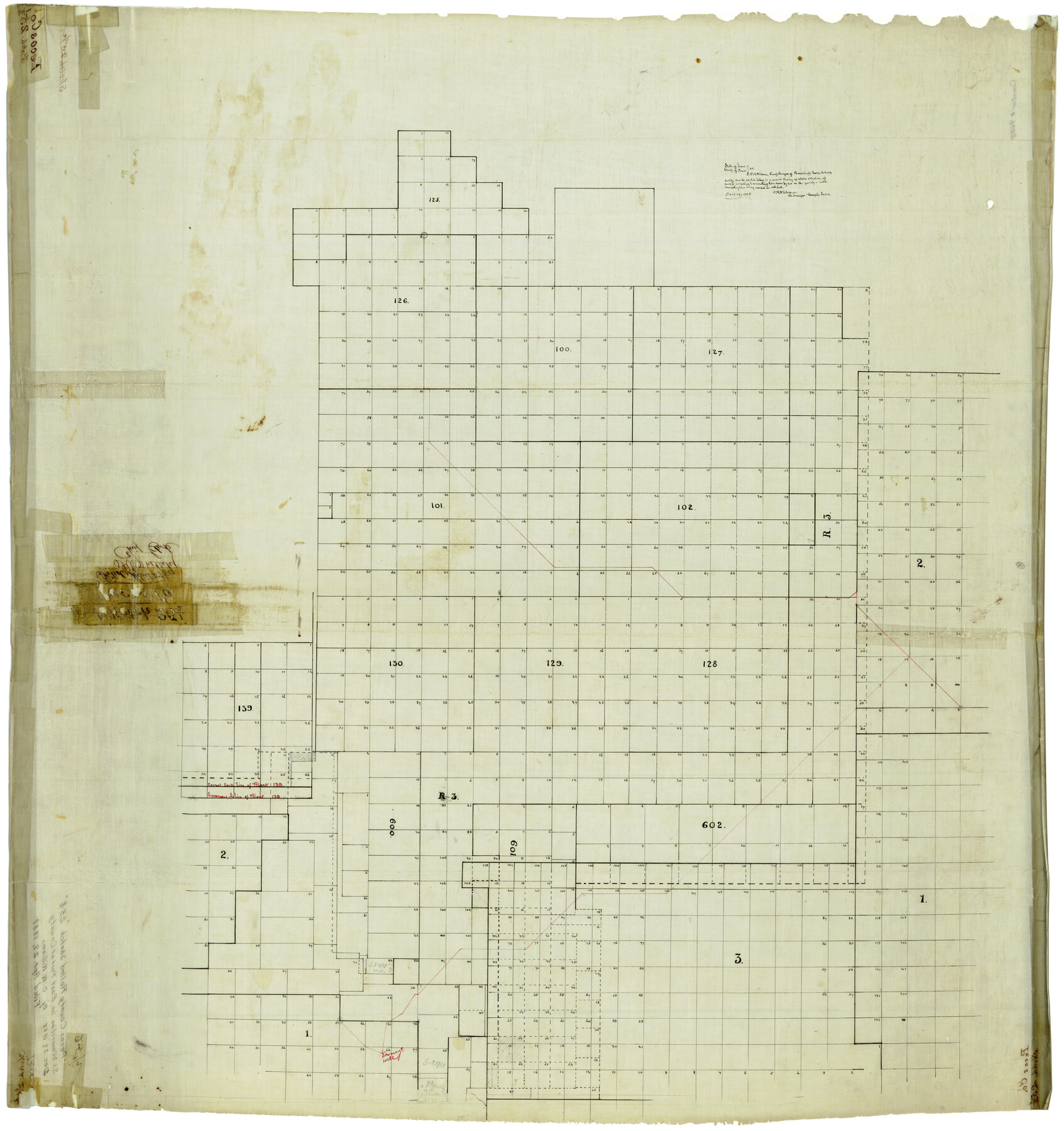
Pecos County Rolled Sketch 25 1/2
[Sketch of Blocks in Pecos and Terrell Counties]
-
Map/Doc
9688
-
Collection
General Map Collection
-
Object Dates
12/29/1888 (Creation Date)
4/29/1889 (File Date)
-
People and Organizations
O.W. Williams (Surveyor/Engineer)
-
Counties
Pecos Terrell
-
Subjects
Surveying Rolled Sketch
-
Height x Width
41.9 x 39.2 inches
106.4 x 99.6 cm
-
Medium
linen, manuscript
Part of: General Map Collection
Kimble County Sketch File 10

Print $23.00
- Digital $50.00
Kimble County Sketch File 10
Size 18.5 x 15.6 inches
Map/Doc 28931
Jackson County Rolled Sketch 13

Print $92.00
- Digital $50.00
Jackson County Rolled Sketch 13
1975
Size 10.7 x 15.3 inches
Map/Doc 46135
Stonewall County Sketch File 5

Print $40.00
- Digital $50.00
Stonewall County Sketch File 5
Size 14.9 x 14.4 inches
Map/Doc 37206
Culberson County Working Sketch 47

Print $20.00
- Digital $50.00
Culberson County Working Sketch 47
1971
Size 25.7 x 36.5 inches
Map/Doc 68501
Erath County Working Sketch 5

Print $20.00
- Digital $50.00
Erath County Working Sketch 5
1920
Size 27.6 x 17.1 inches
Map/Doc 69086
Wichita County Sketch File 13a

Print $6.00
- Digital $50.00
Wichita County Sketch File 13a
1881
Size 9.4 x 6.0 inches
Map/Doc 40084
Hale County Working Sketch 4

Print $20.00
- Digital $50.00
Hale County Working Sketch 4
1979
Size 22.7 x 18.7 inches
Map/Doc 63324
Gray County Sketch File 6

Print $20.00
- Digital $50.00
Gray County Sketch File 6
1882
Size 26.3 x 21.4 inches
Map/Doc 11575
Liberty County

Print $20.00
- Digital $50.00
Liberty County
1862
Size 24.3 x 24.8 inches
Map/Doc 3815
Eastland County Working Sketch 15

Print $20.00
- Digital $50.00
Eastland County Working Sketch 15
1919
Size 21.2 x 23.0 inches
Map/Doc 68796
Pecos County Sketch File 67

Print $76.00
- Digital $50.00
Pecos County Sketch File 67
1919
Size 14.1 x 8.8 inches
Map/Doc 33828
Topographical Map of the Rio Grande, Sheet No. 21

Print $20.00
- Digital $50.00
Topographical Map of the Rio Grande, Sheet No. 21
1912
Map/Doc 89545
You may also like
[Sketch for Mineral Application 13440]
![65674, [Sketch for Mineral Application 13440], General Map Collection](https://historictexasmaps.com/wmedia_w700/maps/65674-1.tif.jpg)
Print $40.00
- Digital $50.00
[Sketch for Mineral Application 13440]
Size 65.8 x 42.9 inches
Map/Doc 65674
Reeves County

Print $20.00
- Digital $50.00
Reeves County
1915
Size 46.5 x 35.7 inches
Map/Doc 16797
Coryell County Boundary File 2

Print $4.00
- Digital $50.00
Coryell County Boundary File 2
Size 5.6 x 8.2 inches
Map/Doc 51905
Galveston County

Print $20.00
- Digital $50.00
Galveston County
1860
Size 20.2 x 31.4 inches
Map/Doc 3575
Preliminary Chart of San Luis Pass, Texas

Print $20.00
Preliminary Chart of San Luis Pass, Texas
1853
Size 16.4 x 21.2 inches
Map/Doc 76251
Map of San Antonio, Texas, Postal Delivery Units showing all boundary lines / Tourist Map of San Antonio showing points of interest and places of amusements, main thoroughfares and highways in and out of city and where they go / Business Section Map

Map of San Antonio, Texas, Postal Delivery Units showing all boundary lines / Tourist Map of San Antonio showing points of interest and places of amusements, main thoroughfares and highways in and out of city and where they go / Business Section Map
Size 18.0 x 24.0 inches
Map/Doc 95160
Comanche County Working Sketch 12

Print $20.00
- Digital $50.00
Comanche County Working Sketch 12
1957
Size 15.4 x 25.5 inches
Map/Doc 68146
University Land, Block 48, Culberson County, Texas

Print $20.00
- Digital $50.00
University Land, Block 48, Culberson County, Texas
1938
Size 28.1 x 21.7 inches
Map/Doc 2411
Newton County Working Sketch 9

Print $20.00
- Digital $50.00
Newton County Working Sketch 9
1938
Size 21.3 x 37.1 inches
Map/Doc 71255
Upton County Rolled Sketch 24

Print $20.00
- Digital $50.00
Upton County Rolled Sketch 24
1886
Size 17.3 x 43.5 inches
Map/Doc 10043
United States - Gulf Coast Texas - Southern part of Laguna Madre

Print $20.00
- Digital $50.00
United States - Gulf Coast Texas - Southern part of Laguna Madre
1941
Size 26.7 x 18.5 inches
Map/Doc 72942
Guadalupe County Working Sketch 7

Print $20.00
- Digital $50.00
Guadalupe County Working Sketch 7
1954
Size 20.1 x 20.0 inches
Map/Doc 63316