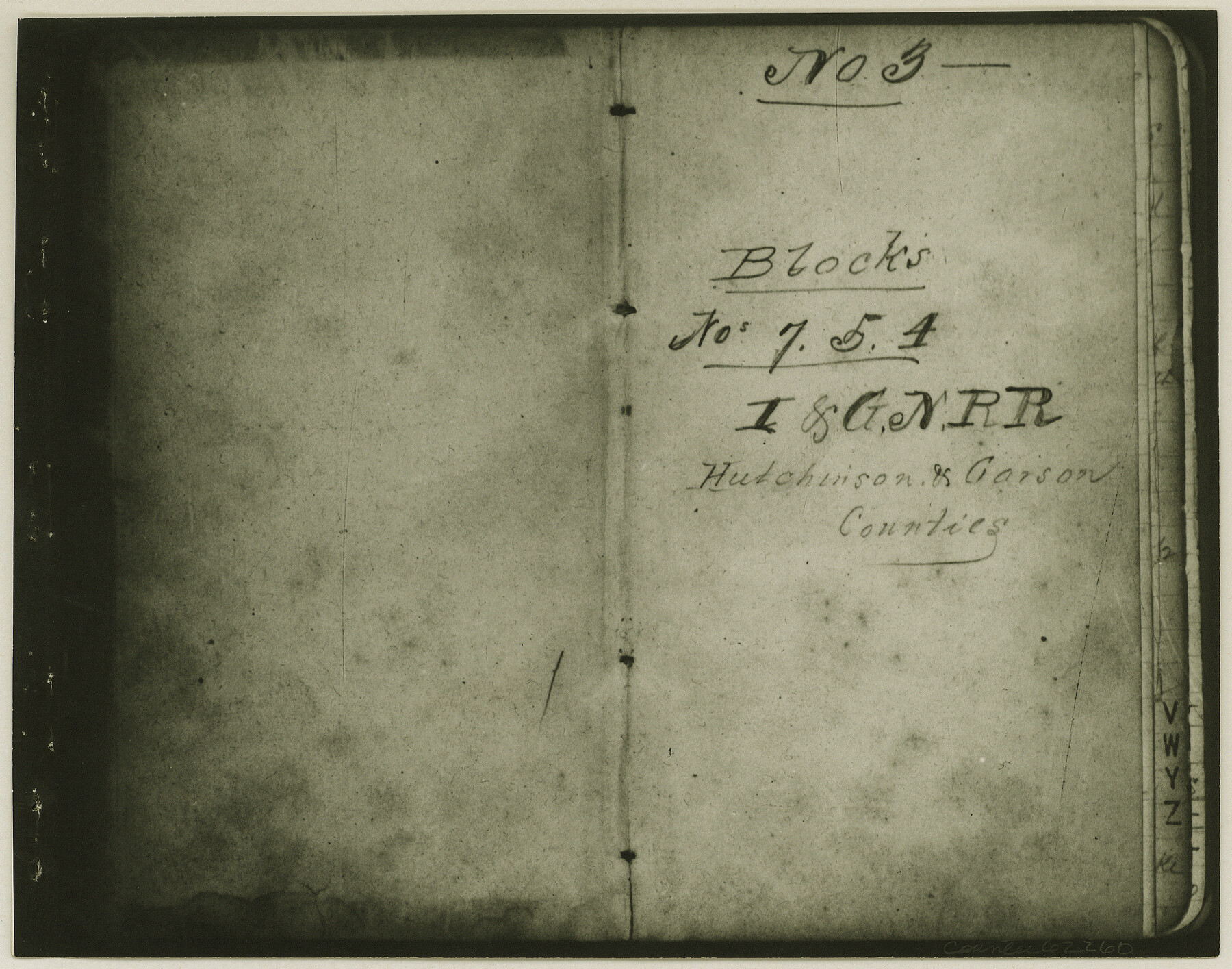
Copy of Surveyor's Field Book, Morris Browning - In Blocks 7, 5 & 4, I&GNRRCo., Hutchinson and Carson Counties, Texas
K-7-70
-
Map/Doc
62260
-
Collection
General Map Collection
-
Object Dates
1888/10/22 (Creation Date)
-
People and Organizations
Morris Browning (Surveyor/Engineer)
-
Counties
Hutchinson Carson
-
Height x Width
6.9 x 8.8 inches
17.5 x 22.4 cm
-
Comments
Copy of Surveyor's field book presented to the General Land Office by Morris Browning on February 3, 1941.
Surveyed from September 14, 1888 to October 22, 1888.
Part of: General Map Collection
Menard County Boundary File 8

Print $4.00
- Digital $50.00
Menard County Boundary File 8
Size 11.1 x 8.7 inches
Map/Doc 57092
Flight Mission No. DCL-7C, Frame 30, Kenedy County

Print $20.00
- Digital $50.00
Flight Mission No. DCL-7C, Frame 30, Kenedy County
1943
Size 15.3 x 15.1 inches
Map/Doc 86022
Flight Mission No. DQN-5K, Frame 58, Calhoun County

Print $20.00
- Digital $50.00
Flight Mission No. DQN-5K, Frame 58, Calhoun County
1953
Size 15.5 x 15.3 inches
Map/Doc 84401

Frio County Rolled Sketch 26

Print $20.00
- Digital $50.00
Frio County Rolled Sketch 26
1994
Size 28.1 x 38.9 inches
Map/Doc 5926
Sulphur River, Bassett Sheet

Print $20.00
- Digital $50.00
Sulphur River, Bassett Sheet
1939
Size 23.9 x 31.5 inches
Map/Doc 69683
Brown County Sketch File X

Print $4.00
- Digital $50.00
Brown County Sketch File X
1882
Size 8.1 x 11.7 inches
Map/Doc 16580
East Half - Brown County

Print $40.00
- Digital $50.00
East Half - Brown County
1982
Size 141.3 x 36.8 inches
Map/Doc 97385

Map of Giddings

Print $20.00
- Digital $50.00
Map of Giddings
1940
Size 16.5 x 21.2 inches
Map/Doc 2210
Jack County Working Sketch 5

Print $20.00
- Digital $50.00
Jack County Working Sketch 5
1952
Size 25.7 x 22.1 inches
Map/Doc 66431
Flight Mission No. CUG-1P, Frame 104, Kleberg County

Print $20.00
- Digital $50.00
Flight Mission No. CUG-1P, Frame 104, Kleberg County
1956
Size 18.5 x 21.1 inches
Map/Doc 86154
You may also like
Chart of Aransas Harbor

Print $20.00
Chart of Aransas Harbor
1859
Size 14.2 x 17.4 inches
Map/Doc 76292
Throckmorton County Rolled Sketch 6B

Print $20.00
- Digital $50.00
Throckmorton County Rolled Sketch 6B
2004
Size 20.3 x 24.2 inches
Map/Doc 82490
[Surveys in McMullen and McGloin's Colony along the San Antonio River]
![30, [Surveys in McMullen and McGloin's Colony along the San Antonio River], General Map Collection](https://historictexasmaps.com/wmedia_w700/maps/30-1.tif.jpg)
Print $20.00
- Digital $50.00
[Surveys in McMullen and McGloin's Colony along the San Antonio River]
1828
Size 19.3 x 24.5 inches
Map/Doc 30
Trinity River, Balltown Sheet/Pilot Grove Creek

Print $20.00
- Digital $50.00
Trinity River, Balltown Sheet/Pilot Grove Creek
1938
Size 40.1 x 33.7 inches
Map/Doc 65196
Hood County Sketch File 9

Print $26.00
- Digital $50.00
Hood County Sketch File 9
1859
Size 9.6 x 4.5 inches
Map/Doc 26586
Val Verde County Working Sketch 73

Print $20.00
- Digital $50.00
Val Verde County Working Sketch 73
1970
Size 37.6 x 34.5 inches
Map/Doc 72208
Tarrant County Sketch File 10a

Print $6.00
- Digital $50.00
Tarrant County Sketch File 10a
1860
Size 10.3 x 8.1 inches
Map/Doc 37691
Bosque County Working Sketch 21

Print $40.00
- Digital $50.00
Bosque County Working Sketch 21
1984
Size 38.5 x 55.1 inches
Map/Doc 67454
Liberty County Working Sketch 33

Print $20.00
- Digital $50.00
Liberty County Working Sketch 33
1954
Size 30.6 x 36.7 inches
Map/Doc 70492
Sketch of surveys in Harrison & Marion Cos. Showing Caddo Lake & Subdivisions

Print $20.00
- Digital $50.00
Sketch of surveys in Harrison & Marion Cos. Showing Caddo Lake & Subdivisions
1955
Size 32.7 x 33.1 inches
Map/Doc 1928
Crosby County Sketch File 10

Print $12.00
- Digital $50.00
Crosby County Sketch File 10
1887
Size 12.8 x 8.2 inches
Map/Doc 20011
Edwards County Rolled Sketch 25

Print $20.00
- Digital $50.00
Edwards County Rolled Sketch 25
1955
Size 30.2 x 35.5 inches
Map/Doc 5811