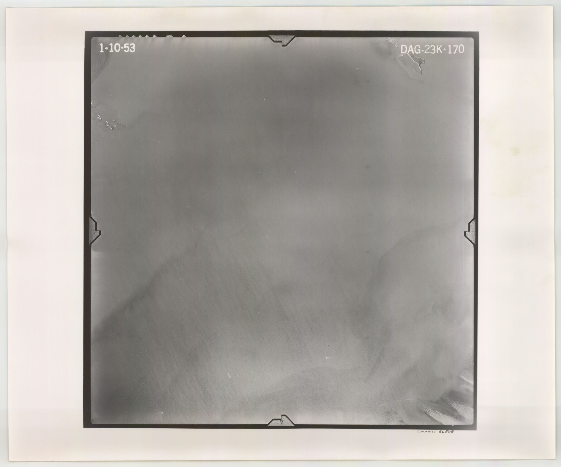
Flight Mission No. DAG-23K, Frame 170, Matagorda County
DAG-23K-170
-
Map/Doc
86508
-
Collection
General Map Collection
-
Object Dates
1953/1/10 (Creation Date)
-
People and Organizations
U. S. Department of Agriculture (Publisher)
-
Counties
Matagorda
-
Subjects
Aerial Photograph
-
Height x Width
18.6 x 22.4 inches
47.2 x 56.9 cm
-
Comments
Flown by Aero Exploration Company of Tulsa, Oklahoma.
Part of: General Map Collection
Duval County Rolled Sketch 20

Print $20.00
- Digital $50.00
Duval County Rolled Sketch 20
Size 33.2 x 42.0 inches
Map/Doc 8811
Maps & Lists Showing Prison Lands (Oil & Gas) Leased as of June 1955

Digital $50.00
Maps & Lists Showing Prison Lands (Oil & Gas) Leased as of June 1955
Size 11.1 x 8.8 inches
Map/Doc 62873
Flight Mission No. DIX-8P, Frame 67, Aransas County

Print $20.00
- Digital $50.00
Flight Mission No. DIX-8P, Frame 67, Aransas County
1956
Size 18.7 x 22.4 inches
Map/Doc 83898
Schleicher County Sketch File 10

Print $9.00
- Digital $50.00
Schleicher County Sketch File 10
1885
Size 12.7 x 8.2 inches
Map/Doc 36485
Loving County Rolled Sketch 1

Print $40.00
- Digital $50.00
Loving County Rolled Sketch 1
Size 42.5 x 79.5 inches
Map/Doc 9460
[Surveys in the Nacogdoches District, Rusk County]
![339, [Surveys in the Nacogdoches District, Rusk County], General Map Collection](https://historictexasmaps.com/wmedia_w700/maps/339.tif.jpg)
Print $2.00
- Digital $50.00
[Surveys in the Nacogdoches District, Rusk County]
Size 6.0 x 8.2 inches
Map/Doc 339
Zavala County Working Sketch 24

Print $40.00
- Digital $50.00
Zavala County Working Sketch 24
1980
Size 75.6 x 42.8 inches
Map/Doc 62099
Andrews County Rolled Sketch 11

Print $20.00
- Digital $50.00
Andrews County Rolled Sketch 11
1933
Size 28.0 x 37.7 inches
Map/Doc 77161
Kent County Working Sketch 9

Print $20.00
- Digital $50.00
Kent County Working Sketch 9
1953
Size 33.0 x 43.8 inches
Map/Doc 70016

Live Oak County Sketch File A

Print $2.00
- Digital $50.00
Live Oak County Sketch File A
Size 7.9 x 4.7 inches
Map/Doc 30250
Parker County State Real Property Sketch 1

Print $20.00
- Digital $50.00
Parker County State Real Property Sketch 1
2022
Size 47.4 x 35.1 inches
Map/Doc 96678
You may also like
Presidio County Rolled Sketch 68

Print $20.00
- Digital $50.00
Presidio County Rolled Sketch 68
1927
Size 11.8 x 24.4 inches
Map/Doc 7358
Palo Pinto County Sketch File 1

Print $20.00
- Digital $50.00
Palo Pinto County Sketch File 1
Size 18.8 x 23.5 inches
Map/Doc 12131
Galveston County NRC Article 33.136 Sketch 94

Print $72.00
Galveston County NRC Article 33.136 Sketch 94
2024
Map/Doc 97293

Pecos County Rolled Sketch 154

Print $20.00
- Digital $50.00
Pecos County Rolled Sketch 154
Size 35.9 x 27.0 inches
Map/Doc 7283
Cherokee County Sketch File 20

Print $4.00
- Digital $50.00
Cherokee County Sketch File 20
1876
Size 8.2 x 6.0 inches
Map/Doc 18163
Flight Mission No. BQR-20K, Frame 3, Brazoria County

Print $20.00
- Digital $50.00
Flight Mission No. BQR-20K, Frame 3, Brazoria County
1952
Size 18.6 x 22.2 inches
Map/Doc 84105
Dimmit County Working Sketch 49

Print $40.00
- Digital $50.00
Dimmit County Working Sketch 49
1980
Size 78.8 x 44.7 inches
Map/Doc 68710
Nueces County NRC Article 33.136 Sketch 10

Print $36.00
- Digital $50.00
Nueces County NRC Article 33.136 Sketch 10
2004
Size 23.9 x 35.9 inches
Map/Doc 83526
Parker County Working Sketch 23

Print $20.00
- Digital $50.00
Parker County Working Sketch 23
2007
Map/Doc 87924
Bandera County Working Sketch 30

Print $20.00
- Digital $50.00
Bandera County Working Sketch 30
1969
Size 29.9 x 37.4 inches
Map/Doc 67626
Shelby County Rolled Sketch 8

Print $20.00
- Digital $50.00
Shelby County Rolled Sketch 8
Size 40.4 x 45.5 inches
Map/Doc 9923