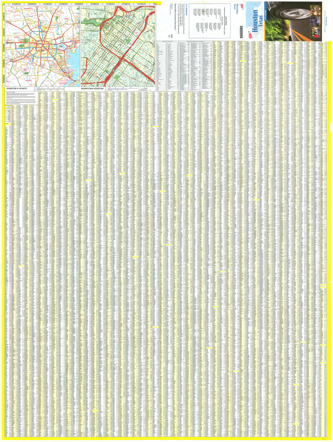
Houston, Texas
[Street guide and inset maps]
-
Map/Doc
96864
-
Collection
General Map Collection
-
Object Dates
2011 (Creation Date)
-
People and Organizations
GM Johnson & Associates, Ltd. (Publisher)
Mark Lambert (Donor)
-
Counties
Harris
-
Subjects
City
-
Height x Width
47.9 x 36.1 inches
121.7 x 91.7 cm
-
Medium
paper, print
-
Comments
For research only. Donated by Mark Lambert in May, 2022. See 96863 for recto.
Related maps

Part of: General Map Collection
Duval County Working Sketch 40

Print $20.00
- Digital $50.00
Duval County Working Sketch 40
1960
Size 19.5 x 16.6 inches
Map/Doc 68764
San Saba County Sketch File 15

Print $6.00
- Digital $50.00
San Saba County Sketch File 15
Size 14.2 x 8.9 inches
Map/Doc 36453
Right of Way and Track Map International & Gt. Northern Ry. operated by the International & Gt. Northern Ry. Co., Gulf Division, Columbia Branch

Print $40.00
- Digital $50.00
Right of Way and Track Map International & Gt. Northern Ry. operated by the International & Gt. Northern Ry. Co., Gulf Division, Columbia Branch
1917
Size 25.3 x 56.7 inches
Map/Doc 64601
Upshur County Working Sketch 2

Print $20.00
- Digital $50.00
Upshur County Working Sketch 2
1934
Size 16.3 x 21.4 inches
Map/Doc 69558
Flight Mission No. CGI-3N, Frame 42, Cameron County

Print $20.00
- Digital $50.00
Flight Mission No. CGI-3N, Frame 42, Cameron County
1954
Size 18.5 x 22.1 inches
Map/Doc 84548
Flight Mission No. DAG-21K, Frame 121, Matagorda County

Print $20.00
- Digital $50.00
Flight Mission No. DAG-21K, Frame 121, Matagorda County
1952
Size 18.6 x 22.3 inches
Map/Doc 86447

Flight Mission No. CRC-4R, Frame 161, Chambers County

Print $20.00
- Digital $50.00
Flight Mission No. CRC-4R, Frame 161, Chambers County
1956
Size 18.5 x 22.3 inches
Map/Doc 84920
Webb County Rolled Sketch 31

Print $20.00
- Digital $50.00
Webb County Rolled Sketch 31
Size 38.8 x 44.5 inches
Map/Doc 10122
Flight Mission No. BRA-16M, Frame 62, Jefferson County

Print $20.00
- Digital $50.00
Flight Mission No. BRA-16M, Frame 62, Jefferson County
1953
Size 18.7 x 22.4 inches
Map/Doc 85679
Montague County Working Sketch 32

Print $20.00
- Digital $50.00
Montague County Working Sketch 32
1975
Size 26.0 x 26.1 inches
Map/Doc 71098
Karnes County Sketch File 13

Print $8.00
- Digital $50.00
Karnes County Sketch File 13
1897
Size 9.7 x 6.3 inches
Map/Doc 28611
You may also like
Grimes County Sketch File 4

Print $4.00
- Digital $50.00
Grimes County Sketch File 4
1872
Size 12.7 x 8.0 inches
Map/Doc 24635
Nolan County Working Sketch Graphic Index

Print $20.00
- Digital $50.00
Nolan County Working Sketch Graphic Index
1935
Size 41.6 x 36.9 inches
Map/Doc 76654
Map of the Lands Surveyed by the Memphis, El Paso & Pacific R.R. Company

Print $20.00
- Digital $50.00
Map of the Lands Surveyed by the Memphis, El Paso & Pacific R.R. Company
1860
Size 18.6 x 19.0 inches
Map/Doc 4846
Edwards County Working Sketch 1

Print $20.00
- Digital $50.00
Edwards County Working Sketch 1
Size 12.2 x 16.4 inches
Map/Doc 68877
Flight Mission No. DQO-3K, Frame 31, Galveston County

Print $20.00
- Digital $50.00
Flight Mission No. DQO-3K, Frame 31, Galveston County
1952
Size 18.9 x 22.5 inches
Map/Doc 85072
Flight Mission No. BRA-8M, Frame 127, Jefferson County

Print $20.00
- Digital $50.00
Flight Mission No. BRA-8M, Frame 127, Jefferson County
1953
Size 18.6 x 22.3 inches
Map/Doc 85623
Township 6 South Range 13 West, South Western District, Louisiana

Print $20.00
- Digital $50.00
Township 6 South Range 13 West, South Western District, Louisiana
1879
Size 19.6 x 24.8 inches
Map/Doc 65886
Flight Mission No. BRA-16M, Frame 55, Jefferson County

Print $20.00
- Digital $50.00
Flight Mission No. BRA-16M, Frame 55, Jefferson County
1953
Size 18.4 x 22.4 inches
Map/Doc 85672
Parker County Sketch File B

Print $24.00
- Digital $50.00
Parker County Sketch File B
1858
Size 12.5 x 8.2 inches
Map/Doc 33509
From Citizens of Liberty County for the Creation a New County to be Called Crockett, November 12, 1838

Print $20.00
From Citizens of Liberty County for the Creation a New County to be Called Crockett, November 12, 1838
2020
Size 22.3 x 21.7 inches
Map/Doc 96385
Grimes County Working Sketch 8

Print $20.00
- Digital $50.00
Grimes County Working Sketch 8
1976
Size 35.0 x 32.7 inches
Map/Doc 63299
Terrell County Sketch File 25

Print $4.00
- Digital $50.00
Terrell County Sketch File 25
1935
Size 13.5 x 8.1 inches
Map/Doc 37959