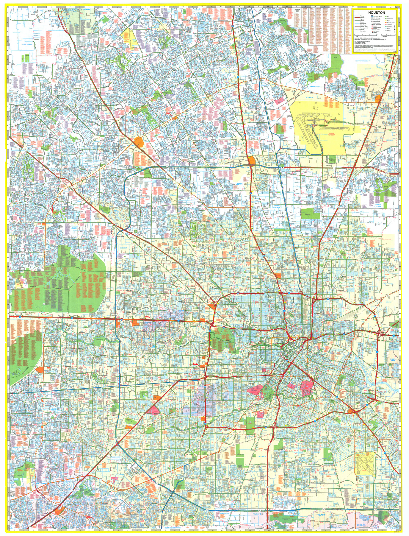
Houston
-
Map/Doc
96863
-
Collection
General Map Collection
-
Object Dates
2011 (Creation Date)
-
People and Organizations
GM Johnson & Associates, Ltd. (Publisher)
Mark Lambert (Donor)
-
Counties
Harris Montgomery
-
Subjects
City
-
Height x Width
48.2 x 36.8 inches
122.4 x 93.5 cm
-
Medium
paper, print
-
Comments
For research only. Donated by Mark Lambert in May, 2022. See 96864 for verso.
Related maps

Part of: General Map Collection
Reeves County Working Sketch 4a

Print $20.00
- Digital $50.00
Reeves County Working Sketch 4a
1933
Size 26.0 x 34.6 inches
Map/Doc 63447
Glasscock County Working Sketch 3

Print $20.00
- Digital $50.00
Glasscock County Working Sketch 3
Size 16.8 x 28.0 inches
Map/Doc 63176
Cameron County Rolled Sketch Z8

Print $20.00
- Digital $50.00
Cameron County Rolled Sketch Z8
1937
Size 30.3 x 34.5 inches
Map/Doc 5406
Culberson County Rolled Sketch 43

Print $20.00
- Digital $50.00
Culberson County Rolled Sketch 43
1947
Size 20.5 x 36.7 inches
Map/Doc 5664
Flight Mission No. CLL-1N, Frame 29, Willacy County

Print $20.00
- Digital $50.00
Flight Mission No. CLL-1N, Frame 29, Willacy County
1954
Size 18.5 x 22.1 inches
Map/Doc 87010
Crockett County Rolled Sketch 37

Print $20.00
- Digital $50.00
Crockett County Rolled Sketch 37
Size 36.7 x 29.3 inches
Map/Doc 5589
Brooks County Rolled Sketch 20

Print $20.00
- Digital $50.00
Brooks County Rolled Sketch 20
1943
Size 27.0 x 26.4 inches
Map/Doc 5342
Polk County Sketch File 26a

Print $10.00
- Digital $50.00
Polk County Sketch File 26a
1878
Size 14.2 x 8.7 inches
Map/Doc 34189
Edwards County Working Sketch 29

Print $40.00
- Digital $50.00
Edwards County Working Sketch 29
1946
Size 44.9 x 53.9 inches
Map/Doc 68905
Hudspeth County Working Sketch 33

Print $20.00
- Digital $50.00
Hudspeth County Working Sketch 33
1977
Size 26.8 x 21.4 inches
Map/Doc 66318
Haskell County Sketch File 11

Print $6.00
- Digital $50.00
Haskell County Sketch File 11
1886
Size 16.0 x 10.7 inches
Map/Doc 26140
Duval County Sketch File 40a

Print $10.00
- Digital $50.00
Duval County Sketch File 40a
Size 13.9 x 8.8 inches
Map/Doc 21389
You may also like
[Leagues 247, 320, and 321]
![91291, [Leagues 247, 320, and 321], Twichell Survey Records](https://historictexasmaps.com/wmedia_w700/maps/91291-1.tif.jpg)
Print $2.00
- Digital $50.00
[Leagues 247, 320, and 321]
Size 8.2 x 15.1 inches
Map/Doc 91291
Flight Mission No. CRC-5R, Frame 24, Chambers County

Print $20.00
- Digital $50.00
Flight Mission No. CRC-5R, Frame 24, Chambers County
1956
Size 18.7 x 22.4 inches
Map/Doc 84946
The Republic County of Bexar. Spring 1842

Print $20.00
The Republic County of Bexar. Spring 1842
2020
Size 14.7 x 21.7 inches
Map/Doc 96100
League 206 Ochiltree County School Land

Print $20.00
- Digital $50.00
League 206 Ochiltree County School Land
Size 24.0 x 19.5 inches
Map/Doc 92481
[Lgs. 192-195, 176-179]
![90254, [Lgs. 192-195, 176-179], Twichell Survey Records](https://historictexasmaps.com/wmedia_w700/maps/90254-1.tif.jpg)
Print $20.00
- Digital $50.00
[Lgs. 192-195, 176-179]
Size 18.2 x 25.2 inches
Map/Doc 90254
[University Lands Blocks 16, 18, 19 and 20]
![91594, [University Lands Blocks 16, 18, 19 and 20], Twichell Survey Records](https://historictexasmaps.com/wmedia_w700/maps/91594-1.tif.jpg)
Print $20.00
- Digital $50.00
[University Lands Blocks 16, 18, 19 and 20]
Size 13.9 x 16.7 inches
Map/Doc 91594
Colorado River Project - Texas, Marshall Ford Dam right of way survey

Print $20.00
- Digital $50.00
Colorado River Project - Texas, Marshall Ford Dam right of way survey
1937
Size 22.1 x 42.0 inches
Map/Doc 3151
[Shelby District]
![69740, [Shelby District], General Map Collection](https://historictexasmaps.com/wmedia_w700/maps/69740.tif.jpg)
Print $2.00
- Digital $50.00
[Shelby District]
1845
Size 6.9 x 7.6 inches
Map/Doc 69740
Reeves County Sketch File 20

Print $8.00
- Digital $50.00
Reeves County Sketch File 20
1943
Size 9.9 x 8.5 inches
Map/Doc 35216
Flight Mission No. BQR-3K, Frame 84, Brazoria County

Print $20.00
- Digital $50.00
Flight Mission No. BQR-3K, Frame 84, Brazoria County
1952
Size 18.8 x 22.5 inches
Map/Doc 83976
Travis County Working Sketch 57

Print $20.00
- Digital $50.00
Travis County Working Sketch 57
1989
Size 42.8 x 44.0 inches
Map/Doc 69441
[Hall, Luce, Aimaguie, and surrounding surveys]
![91191, [Hall, Luce, Aimaguie, and surrounding surveys], Twichell Survey Records](https://historictexasmaps.com/wmedia_w700/maps/91191-1.tif.jpg)
Print $20.00
- Digital $50.00
[Hall, Luce, Aimaguie, and surrounding surveys]
Size 21.0 x 29.1 inches
Map/Doc 91191