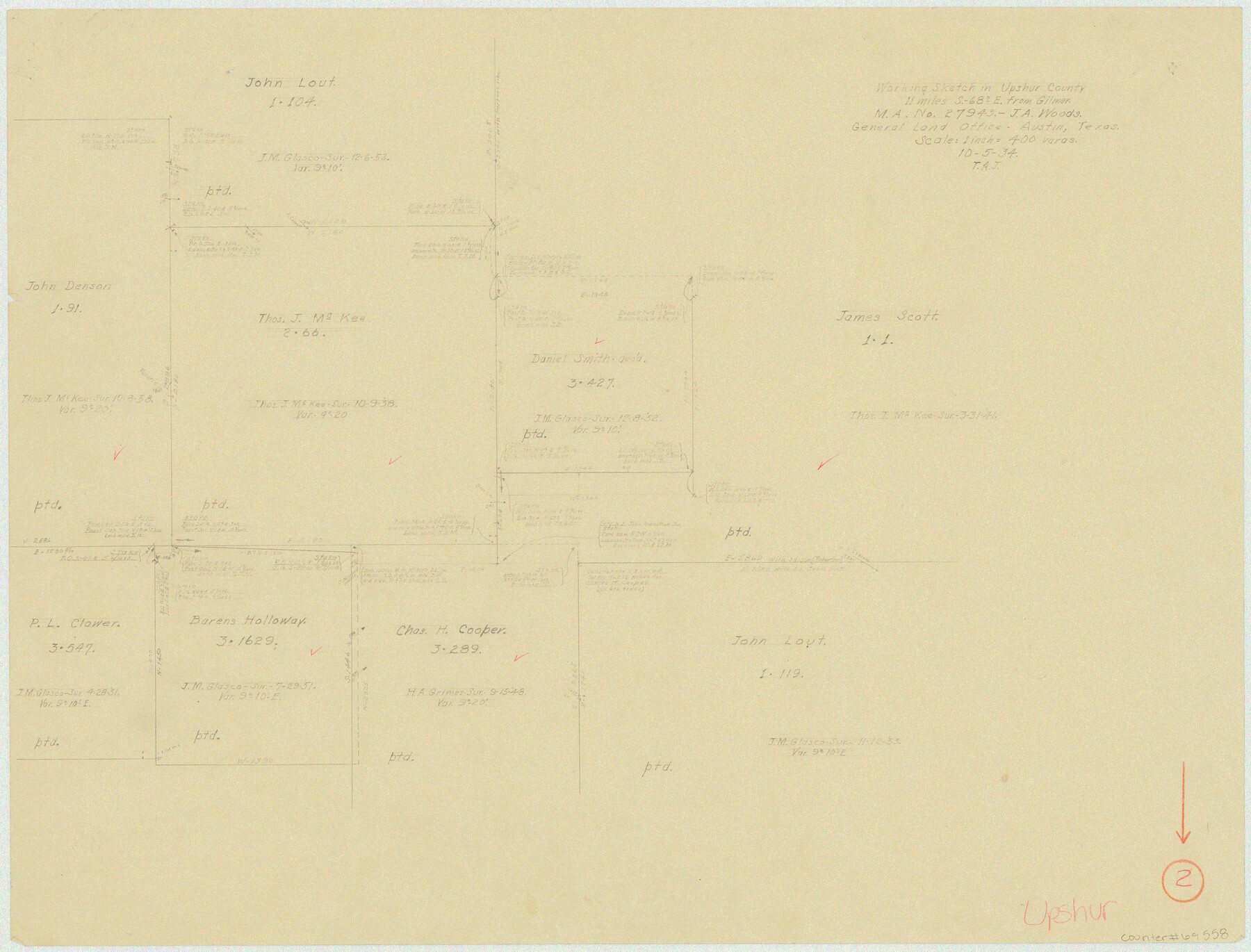
Upshur County Working Sketch 2
-
Map/Doc
69558
-
Collection
General Map Collection
-
Object Dates
10/5/1934 (Creation Date)
-
People and Organizations
T.A. Jackson (Draftsman)
-
Counties
Upshur
-
Subjects
Surveying Working Sketch
-
Height x Width
16.3 x 21.4 inches
41.4 x 54.4 cm
-
Scale
1" = 400 varas
Part of: General Map Collection
Kinney County Working Sketch 1

Print $20.00
- Digital $50.00
Kinney County Working Sketch 1
Size 22.6 x 24.0 inches
Map/Doc 70183
Flight Mission No. BQR-3K, Frame 155, Brazoria County

Print $20.00
- Digital $50.00
Flight Mission No. BQR-3K, Frame 155, Brazoria County
1952
Size 18.7 x 22.4 inches
Map/Doc 83982
Wilson County Working Sketch 6

Print $20.00
- Digital $50.00
Wilson County Working Sketch 6
1955
Size 39.4 x 32.3 inches
Map/Doc 72586
Upton County Sketch File 23

Print $4.00
- Digital $50.00
Upton County Sketch File 23
1927
Size 23.8 x 25.7 inches
Map/Doc 12519
Carta de las provincias de Tejas Nuevo Santander, Nuevo Reino de Leon y Nueva Estremadura

Print $20.00
- Digital $50.00
Carta de las provincias de Tejas Nuevo Santander, Nuevo Reino de Leon y Nueva Estremadura
1773
Size 21.5 x 26.6 inches
Map/Doc 3031
Harris County Working Sketch 11

Print $20.00
- Digital $50.00
Harris County Working Sketch 11
1913
Size 30.4 x 22.5 inches
Map/Doc 65903
Gulf Oil Corp. Fishgide - Freeport

Gulf Oil Corp. Fishgide - Freeport
1960
Size 12.1 x 22.1 inches
Map/Doc 75979
Preliminary Chart No. 31 of the Sea Coast of the United States from Galveston Bay to Matagorda Bay, Texas

Print $20.00
- Digital $50.00
Preliminary Chart No. 31 of the Sea Coast of the United States from Galveston Bay to Matagorda Bay, Texas
1857
Size 22.7 x 38.7 inches
Map/Doc 69949
Map of Jackson County Texas

Print $20.00
- Digital $50.00
Map of Jackson County Texas
1840
Size 29.6 x 23.2 inches
Map/Doc 3708
Cherokee County Sketch File 37

Print $40.00
- Digital $50.00
Cherokee County Sketch File 37
1978
Size 11.2 x 8.7 inches
Map/Doc 18225
Map of the District of San Patricio and Nueces

Print $40.00
- Digital $50.00
Map of the District of San Patricio and Nueces
Size 93.8 x 38.4 inches
Map/Doc 93366
Flight Mission No. DAG-21K, Frame 29, Matagorda County

Print $20.00
- Digital $50.00
Flight Mission No. DAG-21K, Frame 29, Matagorda County
1952
Size 18.5 x 16.1 inches
Map/Doc 86396
You may also like
Map of North America designed to accompany Smith's Geography for Schools

Print $20.00
- Digital $50.00
Map of North America designed to accompany Smith's Geography for Schools
1850
Size 12.0 x 9.9 inches
Map/Doc 93883
Deaf Smith County

Print $40.00
- Digital $50.00
Deaf Smith County
1926
Size 39.0 x 50.5 inches
Map/Doc 73128
Wharton County Working Sketch 11

Print $20.00
- Digital $50.00
Wharton County Working Sketch 11
1976
Size 42.2 x 40.8 inches
Map/Doc 72475
Andrews County Working Sketch 12

Print $20.00
- Digital $50.00
Andrews County Working Sketch 12
1956
Size 35.5 x 25.3 inches
Map/Doc 67058
Kimble County Working Sketch 49

Print $20.00
- Digital $50.00
Kimble County Working Sketch 49
1952
Size 28.8 x 22.5 inches
Map/Doc 70117
Map of Shackelford County

Print $20.00
- Digital $50.00
Map of Shackelford County
1901
Size 26.5 x 21.9 inches
Map/Doc 63031

Record of Spanish Titles, Vol. IV

Record of Spanish Titles, Vol. IV
Size 19.2 x 12.8 inches
Map/Doc 94529
Brown County Sketch File 5

Print $40.00
- Digital $50.00
Brown County Sketch File 5
1858
Size 17.9 x 15.8 inches
Map/Doc 11017
Lampasas County Sketch File 9

Print $4.00
- Digital $50.00
Lampasas County Sketch File 9
1873
Size 9.4 x 7.3 inches
Map/Doc 29408
General Highway Map, Lavaca County, Texas

Print $20.00
General Highway Map, Lavaca County, Texas
1961
Size 24.6 x 18.1 inches
Map/Doc 79566
Mapa de los Estados Unidos de Méjico, Segun lo organizado y definido por las varias actas del Congreso de dicha Republica: y construido por las mejores autoridades

Print $20.00
Mapa de los Estados Unidos de Méjico, Segun lo organizado y definido por las varias actas del Congreso de dicha Republica: y construido por las mejores autoridades
1847
Size 29.6 x 42.4 inches
Map/Doc 76221