Orange County Rolled Sketch 33
Survey plat of John H. Tyler survey SF-12500 in Orange County
-
Map/Doc
9652
-
Collection
General Map Collection
-
Object Dates
1982/9/10 (Survey Date)
1982/9/17 (File Date)
-
People and Organizations
Clinton H. Sumrall (Surveyor/Engineer)
-
Counties
Orange
-
Subjects
Surveying Rolled Sketch
-
Height x Width
58.4 x 50.1 inches
148.3 x 127.3 cm
-
Medium
mylar, print
-
Scale
1" = 36 varas
-
Comments
See Scrap File 12500.
Part of: General Map Collection
Erath County Working Sketch 4


Print $20.00
- Digital $50.00
Erath County Working Sketch 4
1919
Size 31.7 x 28.6 inches
Map/Doc 69085
Leon County Rolled Sketch 14A
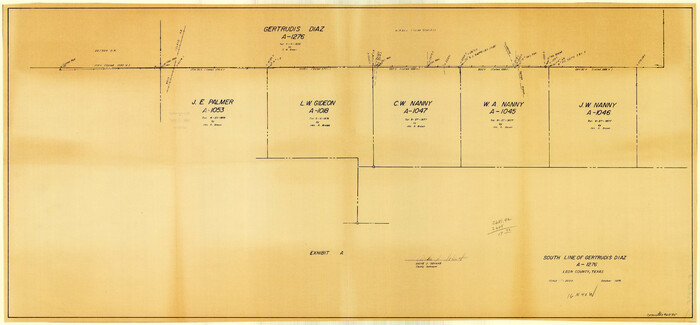

Print $200.00
- Digital $50.00
Leon County Rolled Sketch 14A
1975
Size 16.5 x 35.5 inches
Map/Doc 46535
Baylor County Sketch File 27


Print $4.00
- Digital $50.00
Baylor County Sketch File 27
1895
Size 11.1 x 8.9 inches
Map/Doc 14226
Dallam County Rolled Sketch EB
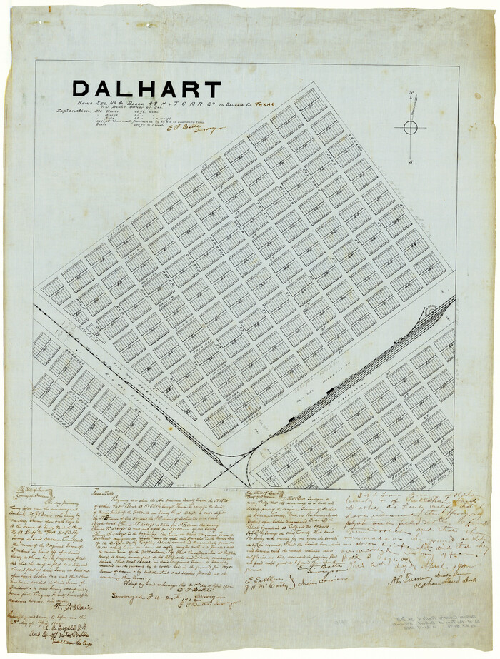

Print $66.00
- Digital $50.00
Dallam County Rolled Sketch EB
1902
Size 41.2 x 31.3 inches
Map/Doc 9410
Uvalde County Working Sketch Graphic Index
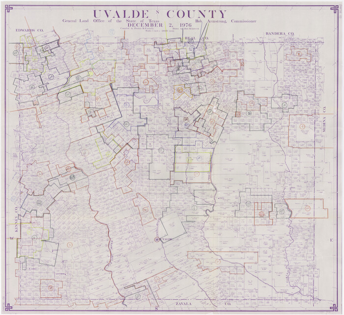

Print $20.00
- Digital $50.00
Uvalde County Working Sketch Graphic Index
1976
Size 42.5 x 46.2 inches
Map/Doc 76723
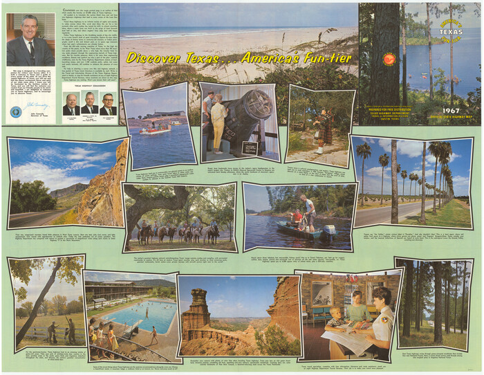
America's Fun-Tier: Texas 1967 Official State Highway Map

Digital $50.00
America's Fun-Tier: Texas 1967 Official State Highway Map
Size 28.2 x 36.4 inches
Map/Doc 94321
Burleson County Sketch File 7


Print $40.00
- Digital $50.00
Burleson County Sketch File 7
1935
Size 17.0 x 14.5 inches
Map/Doc 16653
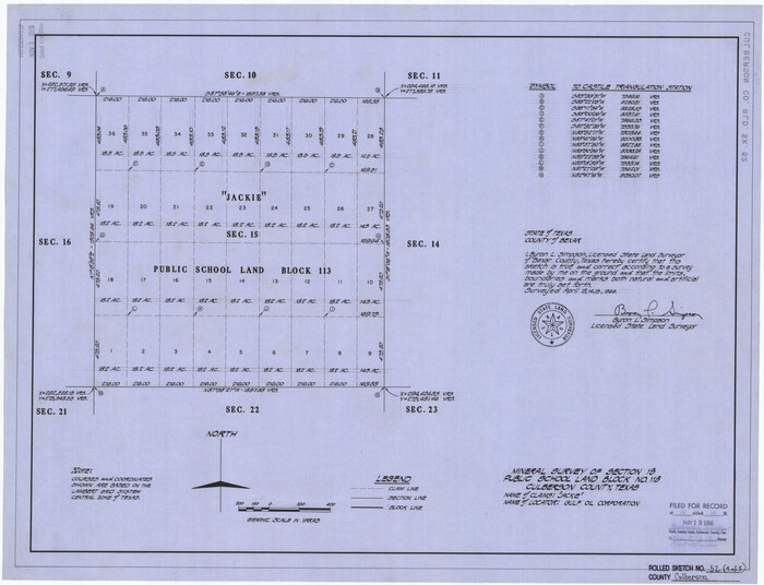
Culberson County Rolled Sketch 52

Print $20.00
- Digital $50.00
Culberson County Rolled Sketch 52
Size 19.2 x 25.1 inches
Map/Doc 5674
Fisher County Working Sketch 3


Print $20.00
- Digital $50.00
Fisher County Working Sketch 3
1926
Size 19.7 x 15.7 inches
Map/Doc 69137
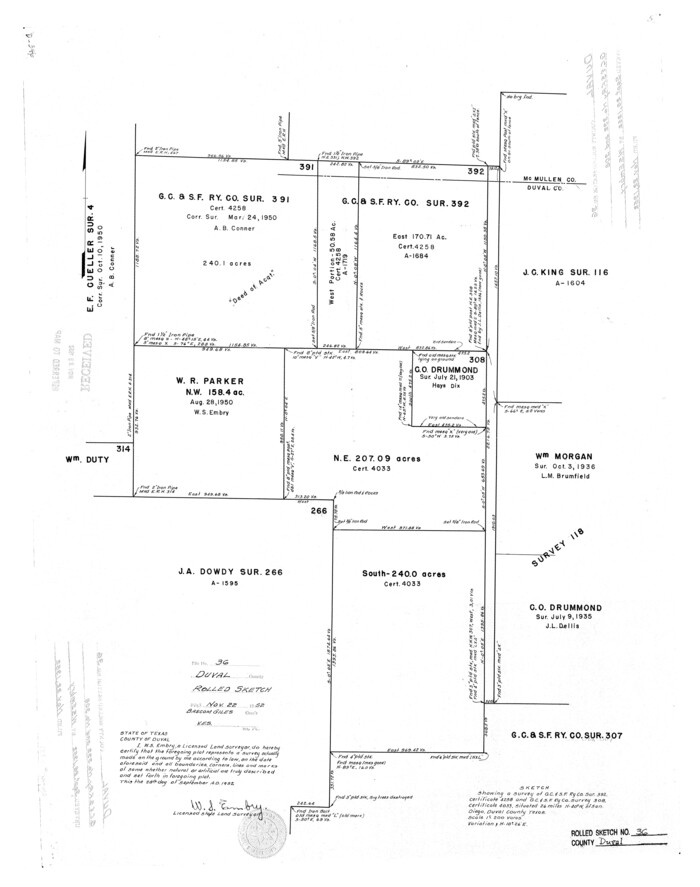
Duval County Rolled Sketch 36

Print $20.00
- Digital $50.00
Duval County Rolled Sketch 36
1952
Size 27.7 x 21.9 inches
Map/Doc 5751
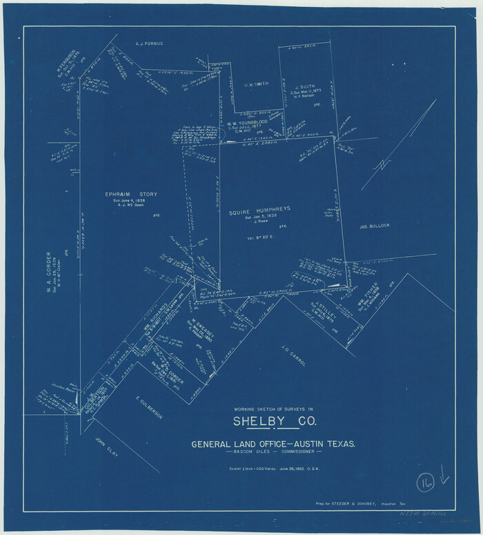
Shelby County Working Sketch 16

Print $20.00
- Digital $50.00
Shelby County Working Sketch 16
1952
Size 25.3 x 22.9 inches
Map/Doc 63869
Jeff Davis County Sketch File 40
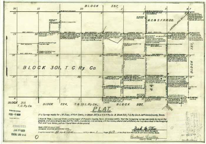

Print $40.00
- Digital $50.00
Jeff Davis County Sketch File 40
1959
Size 12.8 x 18.2 inches
Map/Doc 28062
You may also like
Maps of Gulf Intracoastal Waterway, Texas - Sabine River to the Rio Grande and connecting waterways including ship channels
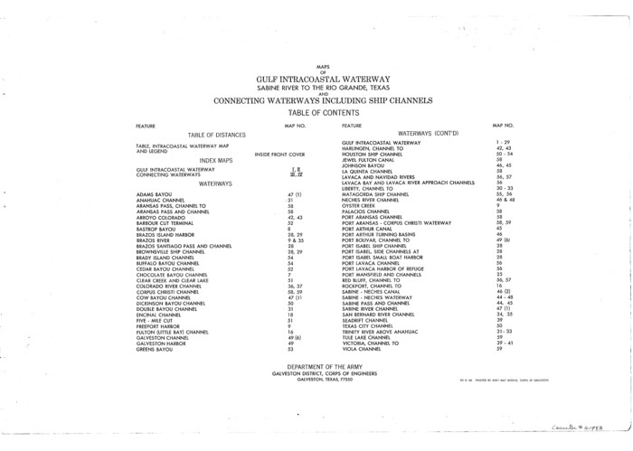

Print $20.00
- Digital $50.00
Maps of Gulf Intracoastal Waterway, Texas - Sabine River to the Rio Grande and connecting waterways including ship channels
1966
Size 15.7 x 22.0 inches
Map/Doc 61983
Travis County

Print $40.00
- Digital $50.00
Travis County
1880
Size 61.7 x 24.0 inches
Map/Doc 87934
Wichita County Sketch File 36
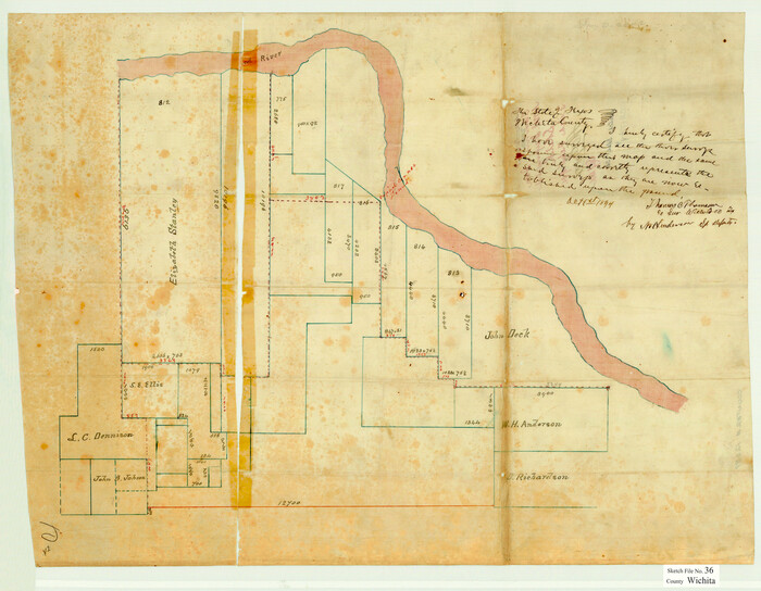

Print $20.00
- Digital $50.00
Wichita County Sketch File 36
1894
Size 20.1 x 25.9 inches
Map/Doc 12689
Hemphill County Working Sketch 21

Print $40.00
- Digital $50.00
Hemphill County Working Sketch 21
1973
Size 79.0 x 32.6 inches
Map/Doc 66116
Township 9 South Range 13 West, South Western District, Louisiana

Print $20.00
- Digital $50.00
Township 9 South Range 13 West, South Western District, Louisiana
1858
Size 19.8 x 24.8 inches
Map/Doc 65852
Kaufman County Boundary File 6

Print $14.00
- Digital $50.00
Kaufman County Boundary File 6
Size 11.2 x 8.7 inches
Map/Doc 55956
Dallas County Working Sketch 15


Print $20.00
- Digital $50.00
Dallas County Working Sketch 15
1980
Size 14.3 x 11.4 inches
Map/Doc 68581
Stonewall County Sketch File 28


Print $14.00
- Digital $50.00
Stonewall County Sketch File 28
1970
Size 14.3 x 8.9 inches
Map/Doc 37300
Hale County Sketch File 10

Print $6.00
- Digital $50.00
Hale County Sketch File 10
1895
Size 16.3 x 9.4 inches
Map/Doc 24737
Jasper County Working Sketch 16


Print $20.00
- Digital $50.00
Jasper County Working Sketch 16
1928
Size 13.7 x 14.3 inches
Map/Doc 66478
Flight Mission No. DIX-7P, Frame 85, Aransas County
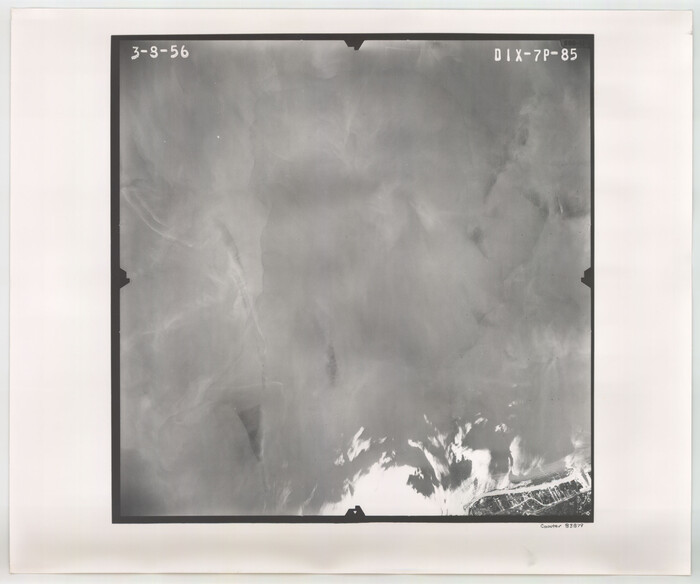

Print $20.00
- Digital $50.00
Flight Mission No. DIX-7P, Frame 85, Aransas County
1956
Size 18.7 x 22.4 inches
Map/Doc 83879

