[Sketch showing Blocks C-11, C-13, C-14, C-16, C-10]
195-22
-
Map/Doc
93123
-
Collection
Twichell Survey Records
-
Counties
Reeves Jeff Davis
-
Height x Width
69.9 x 22.5 inches
177.6 x 57.2 cm
Part of: Twichell Survey Records
Map of the Northwest Portion of Hutchinson County Showing the Proposed Resurvey of Block M24


Print $20.00
- Digital $50.00
Map of the Northwest Portion of Hutchinson County Showing the Proposed Resurvey of Block M24
Size 32.4 x 30.1 inches
Map/Doc 91237
[Block Y, Walker County School Land, and vicinity]
![92536, [Block Y, Walker County School Land, and vicinity], Twichell Survey Records](https://historictexasmaps.com/wmedia_w700/maps/92536-1.tif.jpg)
![92536, [Block Y, Walker County School Land, and vicinity], Twichell Survey Records](https://historictexasmaps.com/wmedia_w700/maps/92536-1.tif.jpg)
Print $20.00
- Digital $50.00
[Block Y, Walker County School Land, and vicinity]
Size 23.3 x 24.8 inches
Map/Doc 92536
Map of Blocks No. 46 and 47 made in the name of Houston and Texas Central RR. Co. in Oldham District


Print $20.00
- Digital $50.00
Map of Blocks No. 46 and 47 made in the name of Houston and Texas Central RR. Co. in Oldham District
1884
Size 40.8 x 27.0 inches
Map/Doc 91818
Working Sketch in Glasscock County

Print $3.00
- Digital $50.00
Working Sketch in Glasscock County
Size 9.8 x 9.8 inches
Map/Doc 90750
James Subdivision, NE/4 Section 1, Block E, G. C. & S. F. R.R. Co. Cert 3/360, Abstract 46


Print $20.00
- Digital $50.00
James Subdivision, NE/4 Section 1, Block E, G. C. & S. F. R.R. Co. Cert 3/360, Abstract 46
Size 17.8 x 19.4 inches
Map/Doc 92734
[Blocks S1, O6, O, A1, A2, A3, A4, JK, JK2, JK4, and JD]
![90657, [Blocks S1, O6, O, A1, A2, A3, A4, JK, JK2, JK4, and JD], Twichell Survey Records](https://historictexasmaps.com/wmedia_w700/maps/90657-1.tif.jpg)
![90657, [Blocks S1, O6, O, A1, A2, A3, A4, JK, JK2, JK4, and JD], Twichell Survey Records](https://historictexasmaps.com/wmedia_w700/maps/90657-1.tif.jpg)
Print $20.00
- Digital $50.00
[Blocks S1, O6, O, A1, A2, A3, A4, JK, JK2, JK4, and JD]
Size 21.3 x 22.4 inches
Map/Doc 90657
[PSL Blocks A54 & A57]
![89977, [PSL Blocks A54 & A57], Twichell Survey Records](https://historictexasmaps.com/wmedia_w700/maps/89977-1.tif.jpg)
![89977, [PSL Blocks A54 & A57], Twichell Survey Records](https://historictexasmaps.com/wmedia_w700/maps/89977-1.tif.jpg)
Print $20.00
- Digital $50.00
[PSL Blocks A54 & A57]
Size 23.0 x 28.0 inches
Map/Doc 89977
Oldham County


Print $20.00
- Digital $50.00
Oldham County
1888
Size 19.8 x 16.5 inches
Map/Doc 93019
[Blocks C-25, C-26, C-27, and 29]
![91320, [Blocks C-25, C-26, C-27, and 29], Twichell Survey Records](https://historictexasmaps.com/wmedia_w700/maps/91320-1.tif.jpg)
![91320, [Blocks C-25, C-26, C-27, and 29], Twichell Survey Records](https://historictexasmaps.com/wmedia_w700/maps/91320-1.tif.jpg)
Print $20.00
- Digital $50.00
[Blocks C-25, C-26, C-27, and 29]
Size 23.4 x 27.2 inches
Map/Doc 91320
[Elizabeth Stanley, William H. Anderson, and surrounding surveys]
![91022, [Elizabeth Stanley, William H. Anderson, and surrounding surveys], Twichell Survey Records](https://historictexasmaps.com/wmedia_w700/maps/91022-1.tif.jpg)
![91022, [Elizabeth Stanley, William H. Anderson, and surrounding surveys], Twichell Survey Records](https://historictexasmaps.com/wmedia_w700/maps/91022-1.tif.jpg)
Print $20.00
- Digital $50.00
[Elizabeth Stanley, William H. Anderson, and surrounding surveys]
Size 27.0 x 18.9 inches
Map/Doc 91022
Amarillo City Stock Yards

Print $20.00
- Digital $50.00
Amarillo City Stock Yards
Size 21.6 x 12.2 inches
Map/Doc 91745
[Part of west line of I. & C. N. Block 8]
![91823, [Part of west line of I. & C. N. Block 8], Twichell Survey Records](https://historictexasmaps.com/wmedia_w700/maps/91823-1.tif.jpg)
![91823, [Part of west line of I. & C. N. Block 8], Twichell Survey Records](https://historictexasmaps.com/wmedia_w700/maps/91823-1.tif.jpg)
Print $20.00
- Digital $50.00
[Part of west line of I. & C. N. Block 8]
1915
Size 20.1 x 7.3 inches
Map/Doc 91823
You may also like
Runnels County Boundary File 1a

Print $14.00
- Digital $50.00
Runnels County Boundary File 1a
Size 12.9 x 8.4 inches
Map/Doc 58507
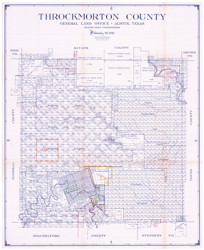
Throckmorton County Working Sketch Graphic Index

Print $20.00
- Digital $50.00
Throckmorton County Working Sketch Graphic Index
1943
Size 44.6 x 36.3 inches
Map/Doc 76713
Flight Mission No. DQN-7K, Frame 11, Calhoun County

Print $20.00
- Digital $50.00
Flight Mission No. DQN-7K, Frame 11, Calhoun County
1953
Size 18.6 x 22.3 inches
Map/Doc 84462
Flight Mission No. DQN-2K, Frame 196, Calhoun County


Print $20.00
- Digital $50.00
Flight Mission No. DQN-2K, Frame 196, Calhoun County
1953
Size 16.3 x 16.1 inches
Map/Doc 84335
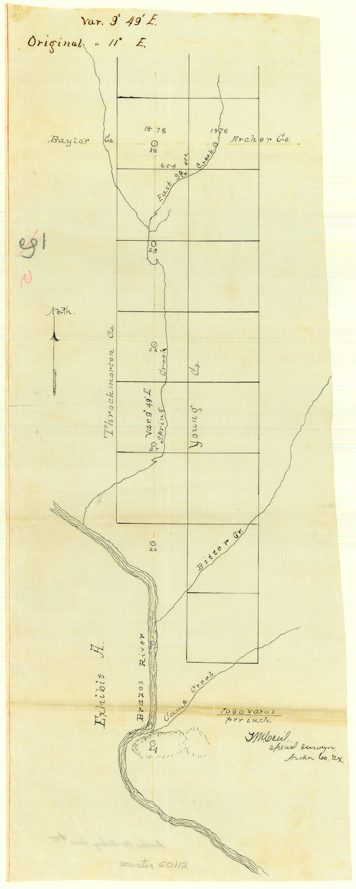
Archer County Boundary File 5

Print $3.00
- Digital $50.00
Archer County Boundary File 5
Size 16.9 x 6.8 inches
Map/Doc 50112
Flight Mission No. BRA-3M, Frame 195, Jefferson County

Print $20.00
- Digital $50.00
Flight Mission No. BRA-3M, Frame 195, Jefferson County
1953
Size 18.6 x 22.3 inches
Map/Doc 85410
Sabine County Sketch File 3
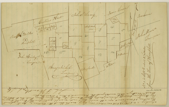

Print $2.00
Sabine County Sketch File 3
1874
Size 12.7 x 8.0 inches
Map/Doc 35604
Reagan County Working Sketch 46b
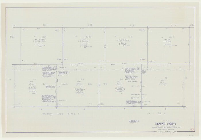

Print $20.00
- Digital $50.00
Reagan County Working Sketch 46b
1987
Size 31.4 x 45.2 inches
Map/Doc 71889
Plat in Pecos County, Texas
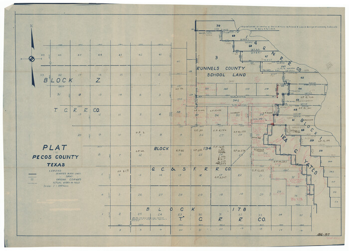

Print $20.00
- Digital $50.00
Plat in Pecos County, Texas
Size 32.8 x 23.2 inches
Map/Doc 91613
Calhoun County NRC Article 33.136 Sketch 1


Print $42.00
- Digital $50.00
Calhoun County NRC Article 33.136 Sketch 1
2000
Size 16.8 x 21.7 inches
Map/Doc 61556
Concho, San Saba & Llano Valley Railway, Sterling City Branch, Texas. Right of Way and Track Map


Print $40.00
- Digital $50.00
Concho, San Saba & Llano Valley Railway, Sterling City Branch, Texas. Right of Way and Track Map
1910
Size 17.9 x 120.8 inches
Map/Doc 64436
![93123, [Sketch showing Blocks C-11, C-13, C-14, C-16, C-10], Twichell Survey Records](https://historictexasmaps.com/wmedia_w1800h1800/maps/93123-1.tif.jpg)
