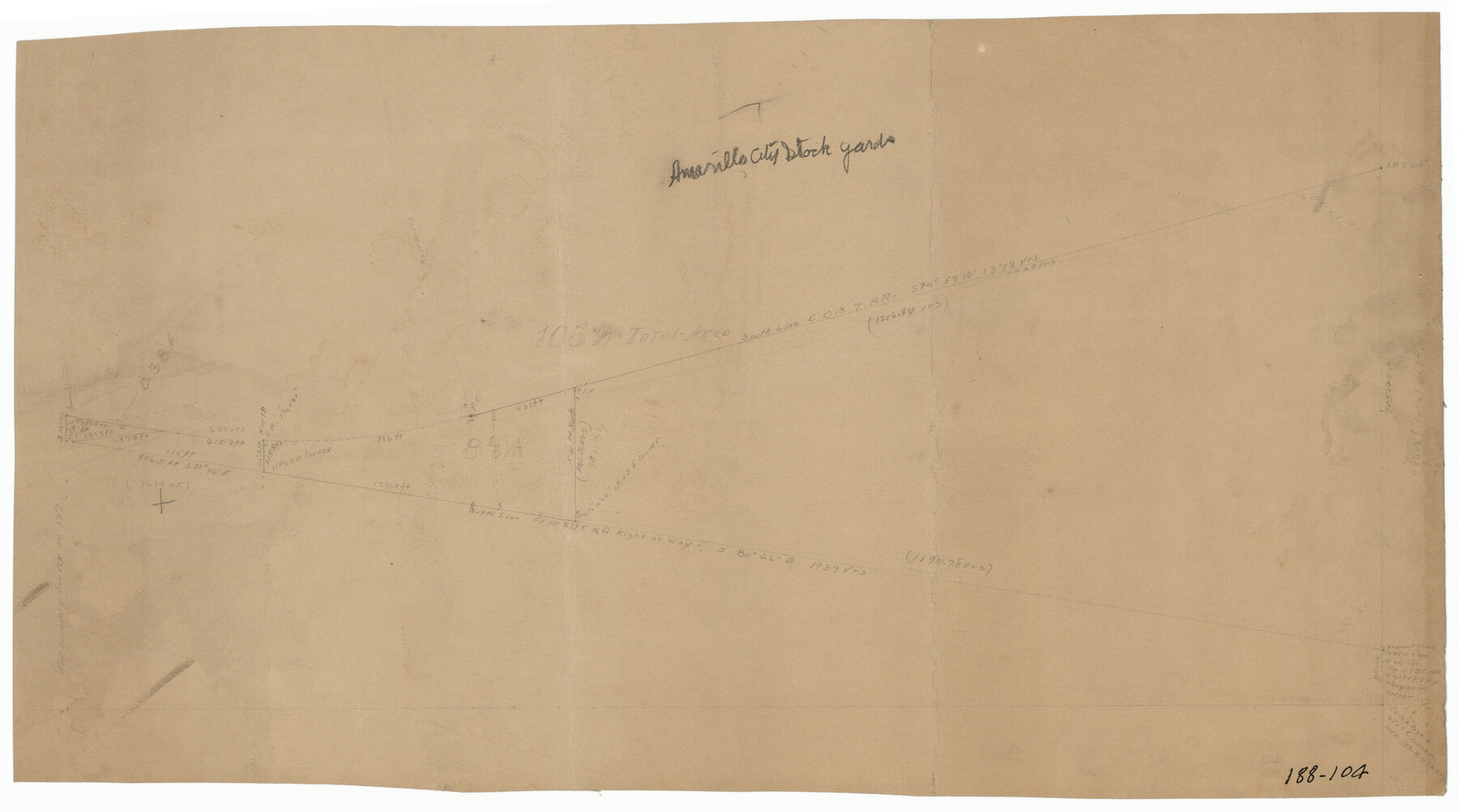
Amarillo City Stock Yards
188-104
-
Map/Doc
91745
-
Collection
Twichell Survey Records
-
Counties
Potter
-
Height x Width
21.6 x 12.2 inches
54.9 x 31.0 cm
Part of: Twichell Survey Records
Yates Pool, Pecos County, Texas

Print $20.00
- Digital $50.00
Yates Pool, Pecos County, Texas
1928
Size 21.3 x 18.3 inches
Map/Doc 91623
[T. & P. Blocks 32-34, Township 3N]
![90560, [T. & P. Blocks 32-34, Township 3N], Twichell Survey Records](https://historictexasmaps.com/wmedia_w700/maps/90560-1.tif.jpg)
Print $20.00
- Digital $50.00
[T. & P. Blocks 32-34, Township 3N]
Size 27.7 x 20.2 inches
Map/Doc 90560
Corrected Map of Blocks 1C, 2, 2B and 3B, G. H. & H. RR. Co. Surveys, Sherman and Hansford Counties

Print $20.00
- Digital $50.00
Corrected Map of Blocks 1C, 2, 2B and 3B, G. H. & H. RR. Co. Surveys, Sherman and Hansford Counties
1919
Size 32.0 x 34.3 inches
Map/Doc 91924
Gaines County, Texas

Print $40.00
- Digital $50.00
Gaines County, Texas
1915
Size 54.1 x 33.0 inches
Map/Doc 89843
Ellwood Farms, Situated in Lamb County, Texas

Print $20.00
- Digital $50.00
Ellwood Farms, Situated in Lamb County, Texas
Size 12.7 x 23.1 inches
Map/Doc 90994
Clay County, 1896

Print $40.00
- Digital $50.00
Clay County, 1896
1896
Size 34.4 x 55.4 inches
Map/Doc 89675
[I. & G. N. Block 1, sections 64, 65, 67-71 and 545 along river]
![91602, [I. & G. N. Block 1, sections 64, 65, 67-71 and 545 along river], Twichell Survey Records](https://historictexasmaps.com/wmedia_w700/maps/91602-1.tif.jpg)
Print $2.00
- Digital $50.00
[I. & G. N. Block 1, sections 64, 65, 67-71 and 545 along river]
Size 8.8 x 14.3 inches
Map/Doc 91602
John H. Stephens Block S2, State Capitol Leagues

Print $20.00
- Digital $50.00
John H. Stephens Block S2, State Capitol Leagues
Size 28.6 x 23.2 inches
Map/Doc 92995

Working Sketch Bastrop County

Print $20.00
- Digital $50.00
Working Sketch Bastrop County
1923
Size 23.2 x 13.0 inches
Map/Doc 90151
Map of Glasscock County

Print $20.00
- Digital $50.00
Map of Glasscock County
Size 18.9 x 23.2 inches
Map/Doc 90711
[Area around R. H. Hibbett and Geo. W. Lawrence surveys on Elm Fork of the Brazos River]
![90861, [Area around R. H. Hibbett and Geo. W. Lawrence surveys on Elm Fork of the Brazos River], Twichell Survey Records](https://historictexasmaps.com/wmedia_w700/maps/90861-2.tif.jpg)
Print $20.00
- Digital $50.00
[Area around R. H. Hibbett and Geo. W. Lawrence surveys on Elm Fork of the Brazos River]
1901
Size 23.6 x 32.4 inches
Map/Doc 90861
You may also like
Hemphill County Working Sketch 36

Print $40.00
- Digital $50.00
Hemphill County Working Sketch 36
1978
Size 38.3 x 51.7 inches
Map/Doc 66131
Ward County Rolled Sketch 18

Print $20.00
- Digital $50.00
Ward County Rolled Sketch 18
1949
Size 31.6 x 34.0 inches
Map/Doc 10109
Montgomery County Rolled Sketch 25

Print $20.00
- Digital $50.00
Montgomery County Rolled Sketch 25
Size 38.1 x 24.2 inches
Map/Doc 6806
Real County Working Sketch 12

Print $20.00
- Digital $50.00
Real County Working Sketch 12
1931
Size 19.1 x 18.6 inches
Map/Doc 71904
Terrell County Rolled Sketch 39

Print $20.00
- Digital $50.00
Terrell County Rolled Sketch 39
1941
Size 18.7 x 42.9 inches
Map/Doc 7943
Flight Mission No. BQY-4M, Frame 64, Harris County

Print $20.00
- Digital $50.00
Flight Mission No. BQY-4M, Frame 64, Harris County
1953
Size 18.6 x 22.5 inches
Map/Doc 85273
Galveston County Sketch File 37

Print $30.00
- Digital $50.00
Galveston County Sketch File 37
1841
Size 14.3 x 8.8 inches
Map/Doc 23423
Coryell County Rolled Sketch 1

Print $20.00
- Digital $50.00
Coryell County Rolled Sketch 1
1943
Size 22.7 x 21.4 inches
Map/Doc 5565
Flight Mission No. BQR-22K, Frame 46, Brazoria County

Print $20.00
- Digital $50.00
Flight Mission No. BQR-22K, Frame 46, Brazoria County
1953
Size 18.6 x 22.4 inches
Map/Doc 84130
Edwards County Sketch File 11

Print $26.00
- Digital $50.00
Edwards County Sketch File 11
1887
Size 13.7 x 8.8 inches
Map/Doc 21687
Medina County Working Sketch 14

Print $20.00
- Digital $50.00
Medina County Working Sketch 14
1972
Size 21.5 x 30.7 inches
Map/Doc 70929
State Prison Lands Transferred to A&M College, Forest Division, Cherokee County

Print $4.00
- Digital $50.00
State Prison Lands Transferred to A&M College, Forest Division, Cherokee County
1932
Size 11.1 x 20.1 inches
Map/Doc 65086