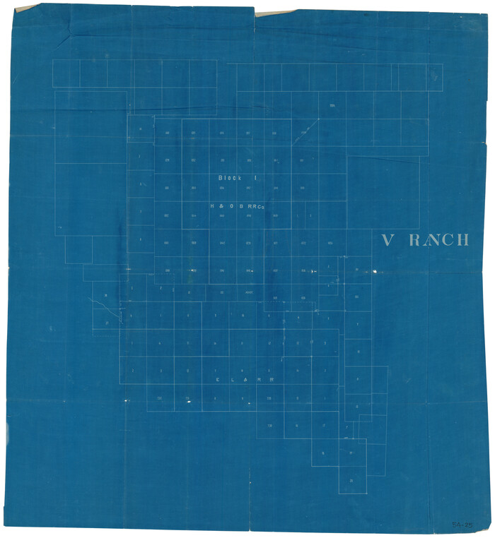
[Blocks S1, O6, O, A1, A2, A3, A4, JK, JK2, JK4, and JD]
95-11
-
Map/Doc
90657
-
Collection
Twichell Survey Records
-
People and Organizations
W.J. Williams (Surveyor/Engineer)
-
Counties
Hale
-
Height x Width
21.3 x 22.4 inches
54.1 x 56.9 cm
Part of: Twichell Survey Records
[R. T. Bucy's Survey 3, League 321]
![91296, [R. T. Bucy's Survey 3, League 321], Twichell Survey Records](https://historictexasmaps.com/wmedia_w700/maps/91296-1.tif.jpg)
![91296, [R. T. Bucy's Survey 3, League 321], Twichell Survey Records](https://historictexasmaps.com/wmedia_w700/maps/91296-1.tif.jpg)
Print $20.00
- Digital $50.00
[R. T. Bucy's Survey 3, League 321]
Size 12.2 x 19.1 inches
Map/Doc 91296
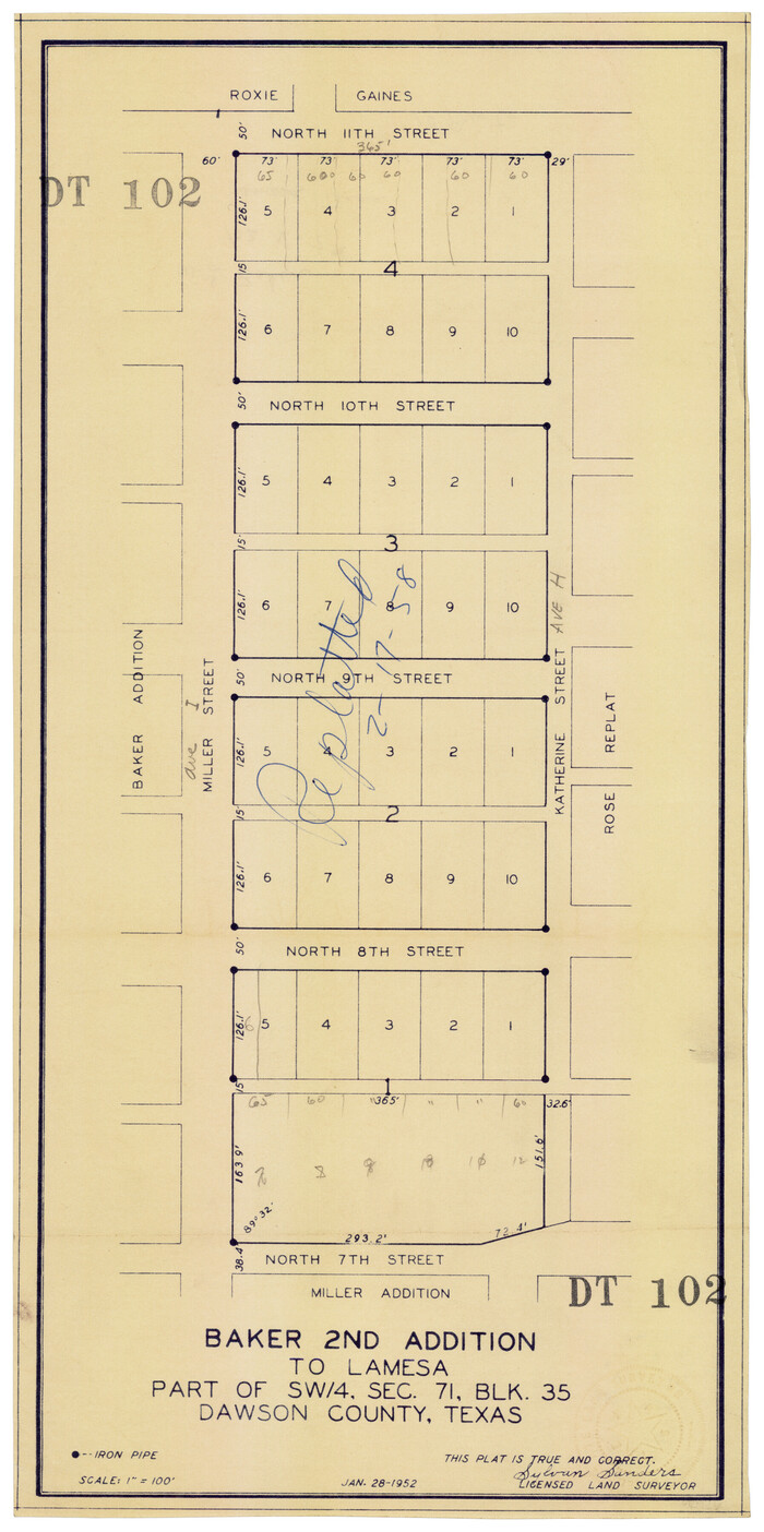
Replat of Baker 2nd Addition to Lamesa, Part of Southwest Quarter, Section 71, Block 35, Dawson County, Texas

Print $20.00
- Digital $50.00
Replat of Baker 2nd Addition to Lamesa, Part of Southwest Quarter, Section 71, Block 35, Dawson County, Texas
1958
Size 9.2 x 18.0 inches
Map/Doc 92630
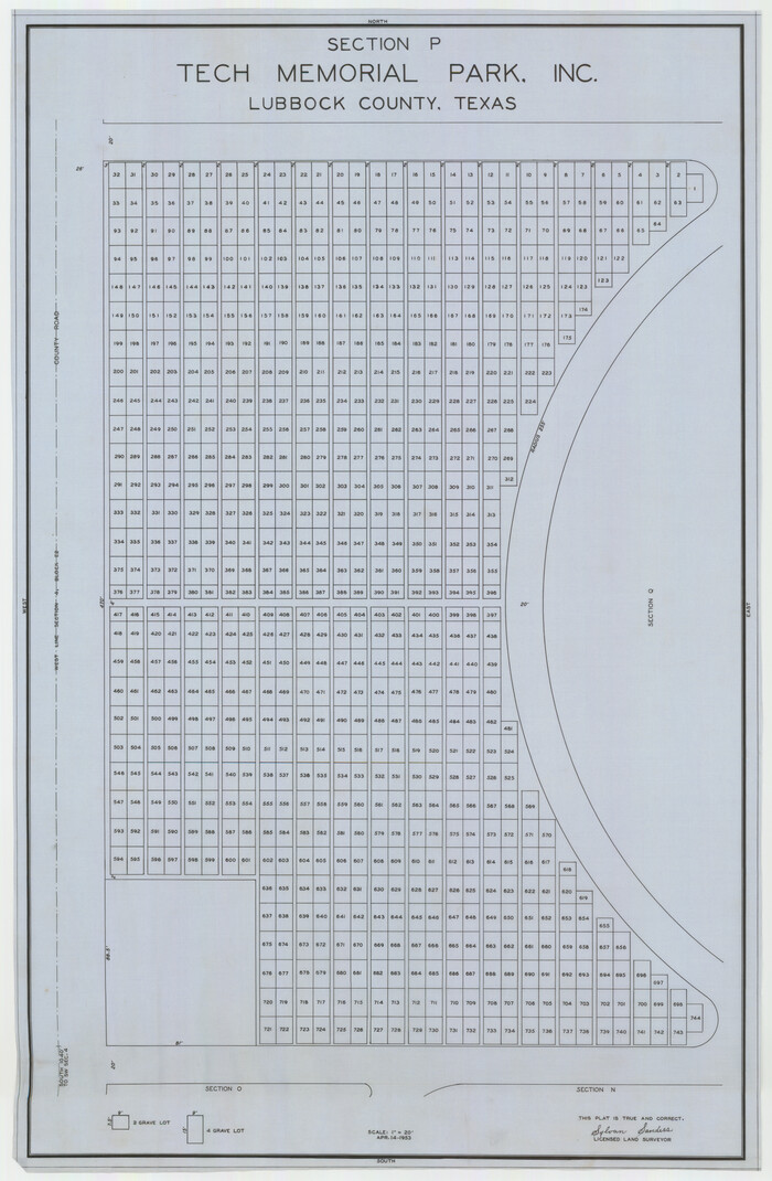
Section P Tech Memorial Park, Inc.

Print $20.00
- Digital $50.00
Section P Tech Memorial Park, Inc.
1953
Size 21.1 x 32.3 inches
Map/Doc 92353
General Highway Map Hockley County, Texas


Print $20.00
- Digital $50.00
General Highway Map Hockley County, Texas
1949
Size 25.7 x 18.8 inches
Map/Doc 92209
[Mrs. May Vinson Survey]
![91959, [Mrs. May Vinson Survey], Twichell Survey Records](https://historictexasmaps.com/wmedia_w700/maps/91959-1.tif.jpg)
![91959, [Mrs. May Vinson Survey], Twichell Survey Records](https://historictexasmaps.com/wmedia_w700/maps/91959-1.tif.jpg)
Print $40.00
- Digital $50.00
[Mrs. May Vinson Survey]
Size 48.4 x 21.9 inches
Map/Doc 91959
[Block C-41, Section 37, Dawson County, Texas]
![92629, [Block C-41, Section 37, Dawson County, Texas], Twichell Survey Records](https://historictexasmaps.com/wmedia_w700/maps/92629-1.tif.jpg)
![92629, [Block C-41, Section 37, Dawson County, Texas], Twichell Survey Records](https://historictexasmaps.com/wmedia_w700/maps/92629-1.tif.jpg)
Print $20.00
- Digital $50.00
[Block C-41, Section 37, Dawson County, Texas]
1950
Size 14.3 x 12.6 inches
Map/Doc 92629
[John Gibbs and surrounding surveys]
![91161, [John Gibbs and surrounding surveys], Twichell Survey Records](https://historictexasmaps.com/wmedia_w700/maps/91161-1.tif.jpg)
![91161, [John Gibbs and surrounding surveys], Twichell Survey Records](https://historictexasmaps.com/wmedia_w700/maps/91161-1.tif.jpg)
Print $20.00
- Digital $50.00
[John Gibbs and surrounding surveys]
Size 18.8 x 22.8 inches
Map/Doc 91161
[Sections 27 and 28, Block B-19]
![91857, [Sections 27 and 28, Block B-19], Twichell Survey Records](https://historictexasmaps.com/wmedia_w700/maps/91857-1.tif.jpg)
![91857, [Sections 27 and 28, Block B-19], Twichell Survey Records](https://historictexasmaps.com/wmedia_w700/maps/91857-1.tif.jpg)
Print $2.00
- Digital $50.00
[Sections 27 and 28, Block B-19]
Size 14.6 x 9.1 inches
Map/Doc 91857
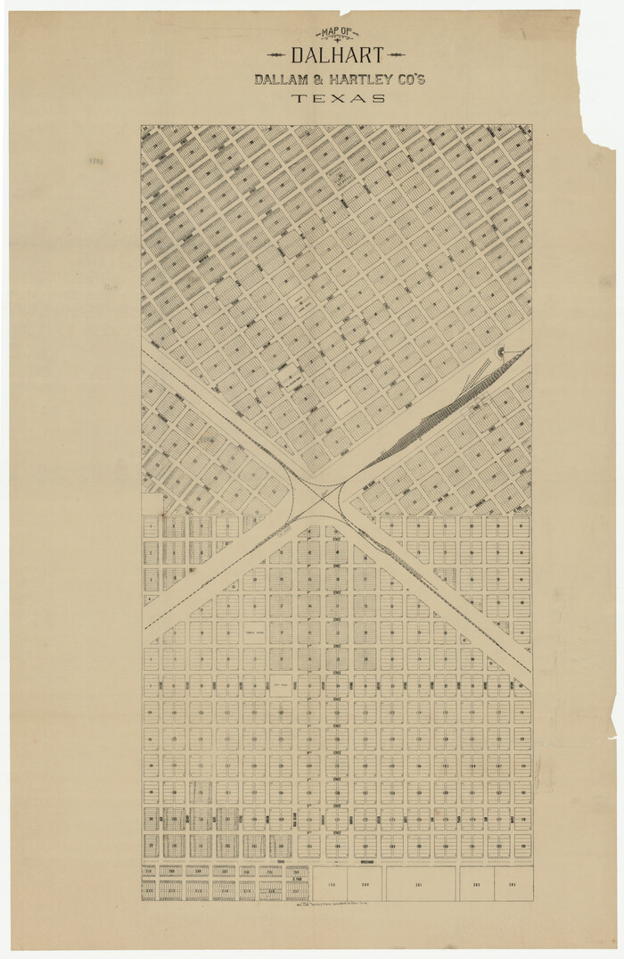
Map of Dalhart, Dallam & Hartley Co's, Texas

Print $20.00
- Digital $50.00
Map of Dalhart, Dallam & Hartley Co's, Texas
Size 22.7 x 35.2 inches
Map/Doc 92125
[H. & T. C. 46, Sections 79- 84]
![91262, [H. & T. C. 46, Sections 79- 84], Twichell Survey Records](https://historictexasmaps.com/wmedia_w700/maps/91262-1.tif.jpg)
![91262, [H. & T. C. 46, Sections 79- 84], Twichell Survey Records](https://historictexasmaps.com/wmedia_w700/maps/91262-1.tif.jpg)
Print $20.00
- Digital $50.00
[H. & T. C. 46, Sections 79- 84]
Size 27.3 x 32.6 inches
Map/Doc 91262
You may also like
Flight Mission No. DAG-21K, Frame 94, Matagorda County


Print $20.00
- Digital $50.00
Flight Mission No. DAG-21K, Frame 94, Matagorda County
1952
Size 18.6 x 22.3 inches
Map/Doc 86423
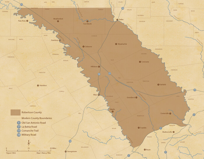
The Republic County of Robertson. December 29, 1845

Print $20.00
The Republic County of Robertson. December 29, 1845
2020
Size 16.9 x 21.7 inches
Map/Doc 96264
Pecos County Working Sketch 73
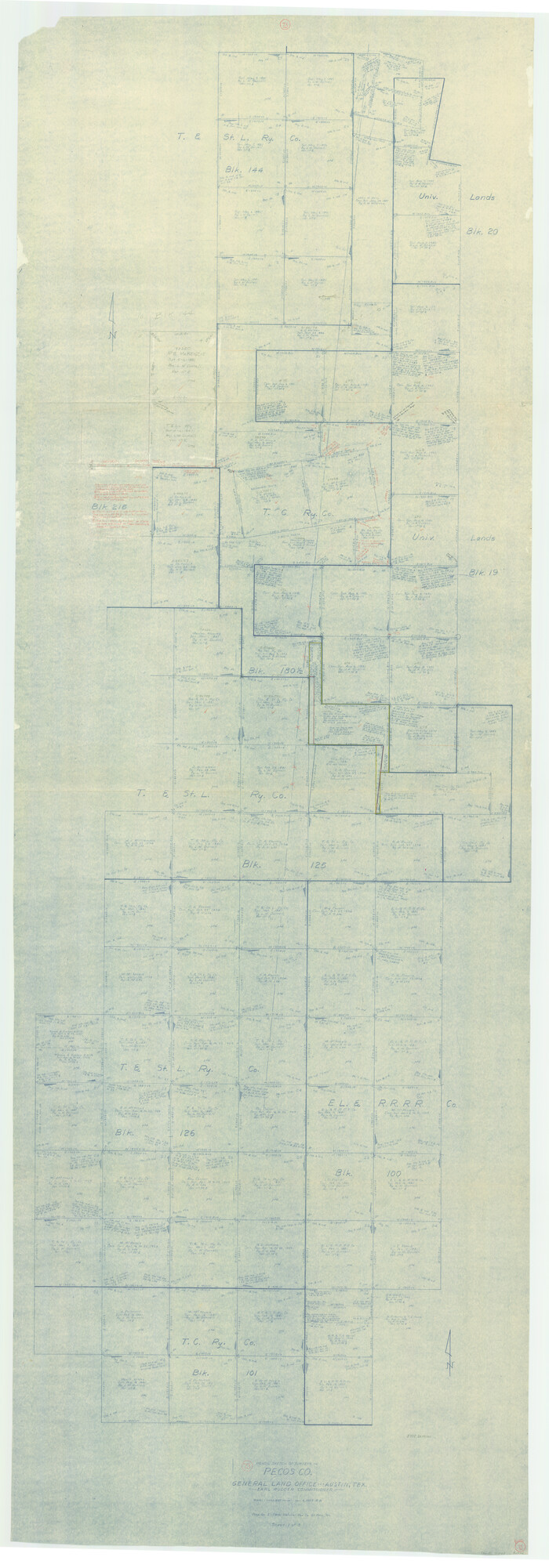

Print $40.00
- Digital $50.00
Pecos County Working Sketch 73
1957
Size 110.6 x 38.7 inches
Map/Doc 71545
Ellis County Sketch File 3


Print $20.00
- Digital $50.00
Ellis County Sketch File 3
Size 23.6 x 28.0 inches
Map/Doc 11462
Navigation Maps of Gulf Intracoastal Waterway, Port Arthur to Brownsville, Texas

Print $20.00
- Digital $50.00
Navigation Maps of Gulf Intracoastal Waterway, Port Arthur to Brownsville, Texas
1951
Size 16.7 x 21.4 inches
Map/Doc 65417
Jefferson County Working Sketch Graphic Index
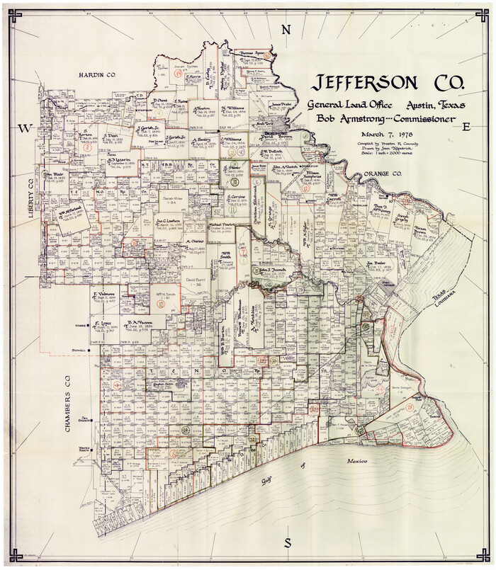

Print $20.00
- Digital $50.00
Jefferson County Working Sketch Graphic Index
1978
Size 47.1 x 41.4 inches
Map/Doc 76595
[Capitol Leagues 572 & 573, T. A. Thomson Blk. T4, part of D. S. & E. Blk. O4]
![90402, [Capitol Leagues 572 & 573, T. A. Thomson Blk. T4, part of D. S. & E. Blk. O4], Twichell Survey Records](https://historictexasmaps.com/wmedia_w700/maps/90402-1.tif.jpg)
![90402, [Capitol Leagues 572 & 573, T. A. Thomson Blk. T4, part of D. S. & E. Blk. O4], Twichell Survey Records](https://historictexasmaps.com/wmedia_w700/maps/90402-1.tif.jpg)
Print $20.00
- Digital $50.00
[Capitol Leagues 572 & 573, T. A. Thomson Blk. T4, part of D. S. & E. Blk. O4]
Size 21.8 x 16.7 inches
Map/Doc 90402
Map representing the surveys made in Bexar County
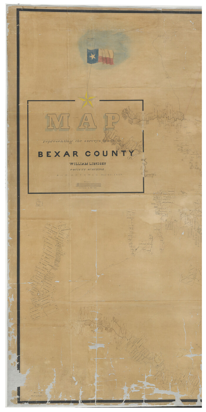

Print $40.00
- Digital $50.00
Map representing the surveys made in Bexar County
1839
Size 75.7 x 37.9 inches
Map/Doc 93364
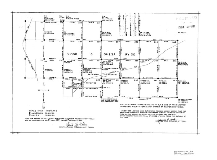
Presidio County Sketch File 86

Print $4.00
- Digital $50.00
Presidio County Sketch File 86
1950
Size 16.1 x 21.8 inches
Map/Doc 11724
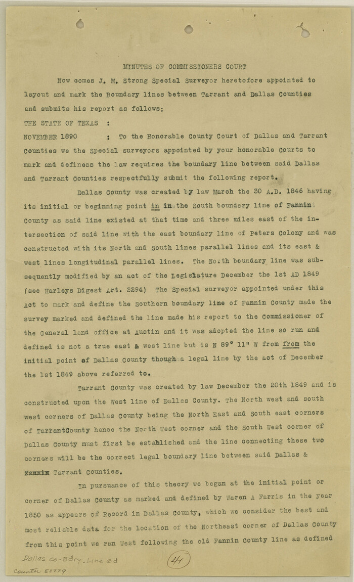
Dallas County Boundary File 6d

Print $104.00
- Digital $50.00
Dallas County Boundary File 6d
Size 14.2 x 8.6 inches
Map/Doc 52229
Map of Texas, compiled from surveys on record in the General Land Office of the Republic


Print $20.00
Map of Texas, compiled from surveys on record in the General Land Office of the Republic
1847
Size 32.2 x 25.0 inches
Map/Doc 79325
Index sheet to accompany map of survey for connecting the inland waters along margin of the Gulf of Mexico from Donaldsonville in Louisiana to the Rio Grande River in Texas


Print $20.00
- Digital $50.00
Index sheet to accompany map of survey for connecting the inland waters along margin of the Gulf of Mexico from Donaldsonville in Louisiana to the Rio Grande River in Texas
1874
Size 18.2 x 27.1 inches
Map/Doc 72696
![90657, [Blocks S1, O6, O, A1, A2, A3, A4, JK, JK2, JK4, and JD], Twichell Survey Records](https://historictexasmaps.com/wmedia_w1800h1800/maps/90657-1.tif.jpg)
![91463, [Block B7], Twichell Survey Records](https://historictexasmaps.com/wmedia_w700/maps/91463-1.tif.jpg)