[SW Corner of Lynn County]
-
Map/Doc
92903
-
Collection
Twichell Survey Records
-
Object Dates
8/23/1954 (Creation Date)
-
People and Organizations
Sylvan Sanders (Surveyor/Engineer)
-
Counties
Lynn
-
Height x Width
32.2 x 31.1 inches
81.8 x 79.0 cm
Part of: Twichell Survey Records
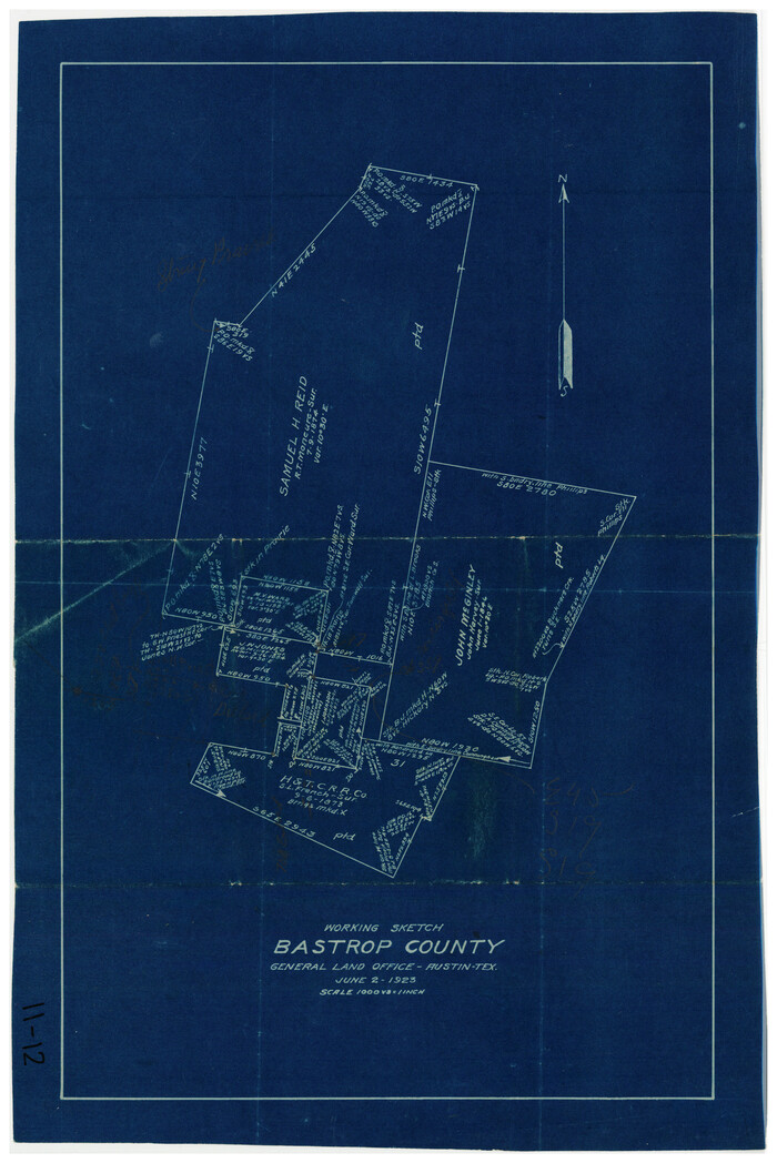
Working Sketch, Bastrop County

Print $3.00
- Digital $50.00
Working Sketch, Bastrop County
1923
Size 10.1 x 15.3 inches
Map/Doc 90113
[SW Corner of Lynn County]
![92903, [SW Corner of Lynn County], Twichell Survey Records](https://historictexasmaps.com/wmedia_w700/maps/92903-1.tif.jpg)
![92903, [SW Corner of Lynn County], Twichell Survey Records](https://historictexasmaps.com/wmedia_w700/maps/92903-1.tif.jpg)
Print $20.00
- Digital $50.00
[SW Corner of Lynn County]
1954
Size 32.2 x 31.1 inches
Map/Doc 92903
[Sketch showing Blocks B-11, O-18, P and Mc in case of Laneer vs. Bivens]
![91727, [Sketch showing Blocks B-11, O-18, P and Mc in case of Laneer vs. Bivens], Twichell Survey Records](https://historictexasmaps.com/wmedia_w700/maps/91727-1.tif.jpg)
![91727, [Sketch showing Blocks B-11, O-18, P and Mc in case of Laneer vs. Bivens], Twichell Survey Records](https://historictexasmaps.com/wmedia_w700/maps/91727-1.tif.jpg)
Print $20.00
- Digital $50.00
[Sketch showing Blocks B-11, O-18, P and Mc in case of Laneer vs. Bivens]
Size 20.9 x 18.9 inches
Map/Doc 91727
[Sketch of area around Mary Fury and John P. Rohus Surveys]
![91917, [Sketch of area around Mary Fury and John P. Rohus Surveys], Twichell Survey Records](https://historictexasmaps.com/wmedia_w700/maps/91917-1.tif.jpg)
![91917, [Sketch of area around Mary Fury and John P. Rohus Surveys], Twichell Survey Records](https://historictexasmaps.com/wmedia_w700/maps/91917-1.tif.jpg)
Print $20.00
- Digital $50.00
[Sketch of area around Mary Fury and John P. Rohus Surveys]
Size 19.4 x 19.7 inches
Map/Doc 91917
Seagraves, Gaines County, Texas, Located in Surveys 10 and 15, Block C-34


Print $20.00
- Digital $50.00
Seagraves, Gaines County, Texas, Located in Surveys 10 and 15, Block C-34
Size 33.3 x 23.8 inches
Map/Doc 92687
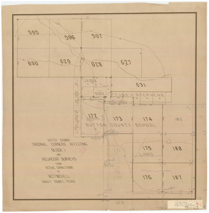
Sketch Showing Original Corners Affecting Block I and Adjacent Surveys from Actual Connections by W. D. Twichell

Print $20.00
- Digital $50.00
Sketch Showing Original Corners Affecting Block I and Adjacent Surveys from Actual Connections by W. D. Twichell
Size 23.9 x 24.2 inches
Map/Doc 90285
Sketch in Crockett County [showing University Land Blocks 46-51]
![90312, Sketch in Crockett County [showing University Land Blocks 46-51], Twichell Survey Records](https://historictexasmaps.com/wmedia_w700/maps/90312-1.tif.jpg)
![90312, Sketch in Crockett County [showing University Land Blocks 46-51], Twichell Survey Records](https://historictexasmaps.com/wmedia_w700/maps/90312-1.tif.jpg)
Print $20.00
- Digital $50.00
Sketch in Crockett County [showing University Land Blocks 46-51]
1915
Size 10.6 x 20.1 inches
Map/Doc 90312
[H. & G. N. RR. Co. Block 1]
![90889, [H. & G. N. RR. Co. Block 1], Twichell Survey Records](https://historictexasmaps.com/wmedia_w700/maps/90889-1.tif.jpg)
![90889, [H. & G. N. RR. Co. Block 1], Twichell Survey Records](https://historictexasmaps.com/wmedia_w700/maps/90889-1.tif.jpg)
Print $20.00
- Digital $50.00
[H. & G. N. RR. Co. Block 1]
Size 16.5 x 27.9 inches
Map/Doc 90889
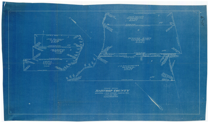
Working Sketch Bastrop County

Print $20.00
- Digital $50.00
Working Sketch Bastrop County
1923
Size 22.2 x 13.0 inches
Map/Doc 90239
Battlefields of the Civil War
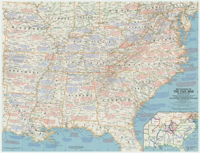

Battlefields of the Civil War
1961
Size 25.8 x 19.7 inches
Map/Doc 92373
Dumas, Moore County, Texas


Print $20.00
- Digital $50.00
Dumas, Moore County, Texas
1891
Size 13.4 x 15.7 inches
Map/Doc 92111
Reconnaissance Map, Roby Sheet


Print $20.00
- Digital $50.00
Reconnaissance Map, Roby Sheet
1893
Size 17.0 x 20.8 inches
Map/Doc 90869
You may also like
Haskell County Sketch File 1A


Print $40.00
- Digital $50.00
Haskell County Sketch File 1A
Size 12.3 x 14.5 inches
Map/Doc 26119
[H. & O. B. Blocks 1, B9, 24, J]
![90345, [H. & O. B. Blocks 1, B9, 24, J], Twichell Survey Records](https://historictexasmaps.com/wmedia_w700/maps/90345-1.tif.jpg)
![90345, [H. & O. B. Blocks 1, B9, 24, J], Twichell Survey Records](https://historictexasmaps.com/wmedia_w700/maps/90345-1.tif.jpg)
Print $20.00
- Digital $50.00
[H. & O. B. Blocks 1, B9, 24, J]
Size 25.2 x 23.6 inches
Map/Doc 90345
Chambers County Rolled Sketch 20

Print $1171.00
- Digital $50.00
Chambers County Rolled Sketch 20
Size 10.7 x 16.2 inches
Map/Doc 43987
Hopkins County Working Sketch 5
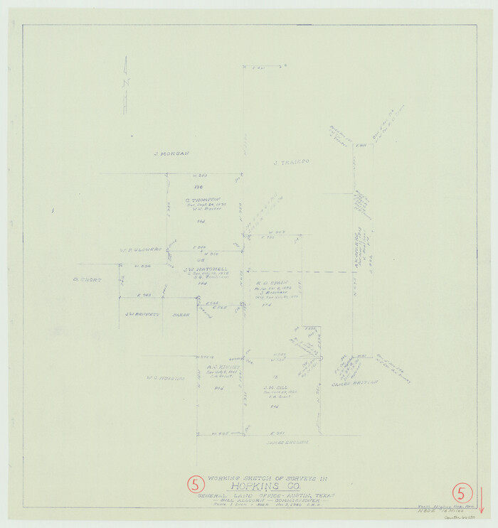

Print $20.00
- Digital $50.00
Hopkins County Working Sketch 5
1960
Size 21.8 x 20.5 inches
Map/Doc 66230
Lampasas County Boundary File 7
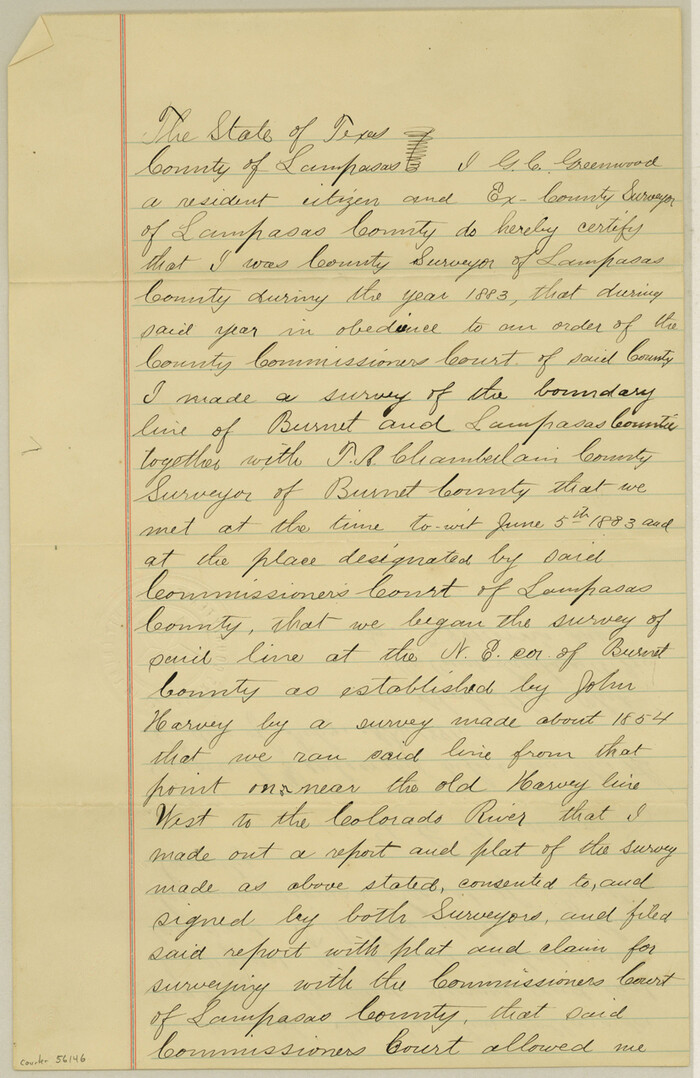

Print $24.00
- Digital $50.00
Lampasas County Boundary File 7
Size 12.7 x 8.3 inches
Map/Doc 56146
Map of north end of Brazos Island
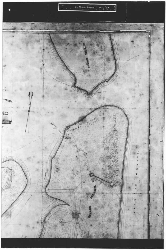

Print $20.00
- Digital $50.00
Map of north end of Brazos Island
Size 27.5 x 18.3 inches
Map/Doc 72906
A Geographically Correct Map of the State of Texas
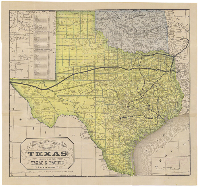

Print $20.00
- Digital $50.00
A Geographically Correct Map of the State of Texas
1876
Size 20.4 x 21.7 inches
Map/Doc 95361
Kendall County Sketch File 28


Print $12.00
- Digital $50.00
Kendall County Sketch File 28
1953
Size 14.3 x 8.9 inches
Map/Doc 28733
Kimble County Working Sketch 12
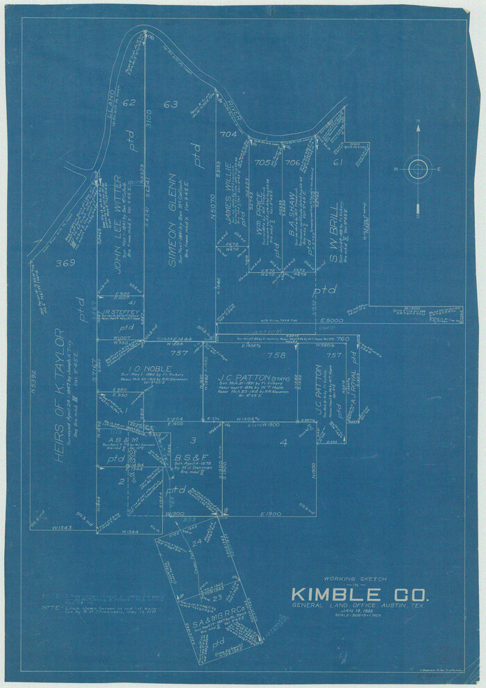

Print $20.00
- Digital $50.00
Kimble County Working Sketch 12
1922
Size 27.6 x 19.5 inches
Map/Doc 70080
Map of George W. Littlefield's Ranch Located on State Capitol Leagues 657- 736 Situated in Lamb and Hockley Counties
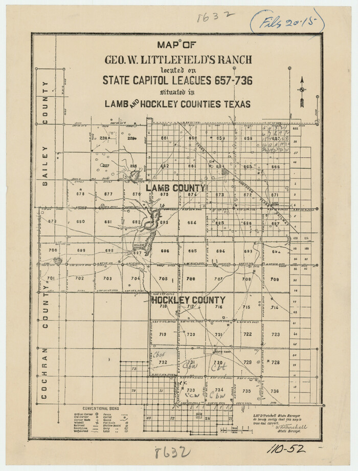

Print $2.00
- Digital $50.00
Map of George W. Littlefield's Ranch Located on State Capitol Leagues 657- 736 Situated in Lamb and Hockley Counties
Size 6.3 x 8.2 inches
Map/Doc 91121
The Texas & Oklahoma Official Railway & Hotel Guide Map


Print $20.00
- Digital $50.00
The Texas & Oklahoma Official Railway & Hotel Guide Map
1917
Size 23.6 x 24.1 inches
Map/Doc 94032
Starr County Sketch File 27


Print $20.00
- Digital $50.00
Starr County Sketch File 27
1930
Size 22.2 x 34.0 inches
Map/Doc 12333
![92903, [SW Corner of Lynn County], Twichell Survey Records](https://historictexasmaps.com/wmedia_w1800h1800/maps/92903-1.tif.jpg)