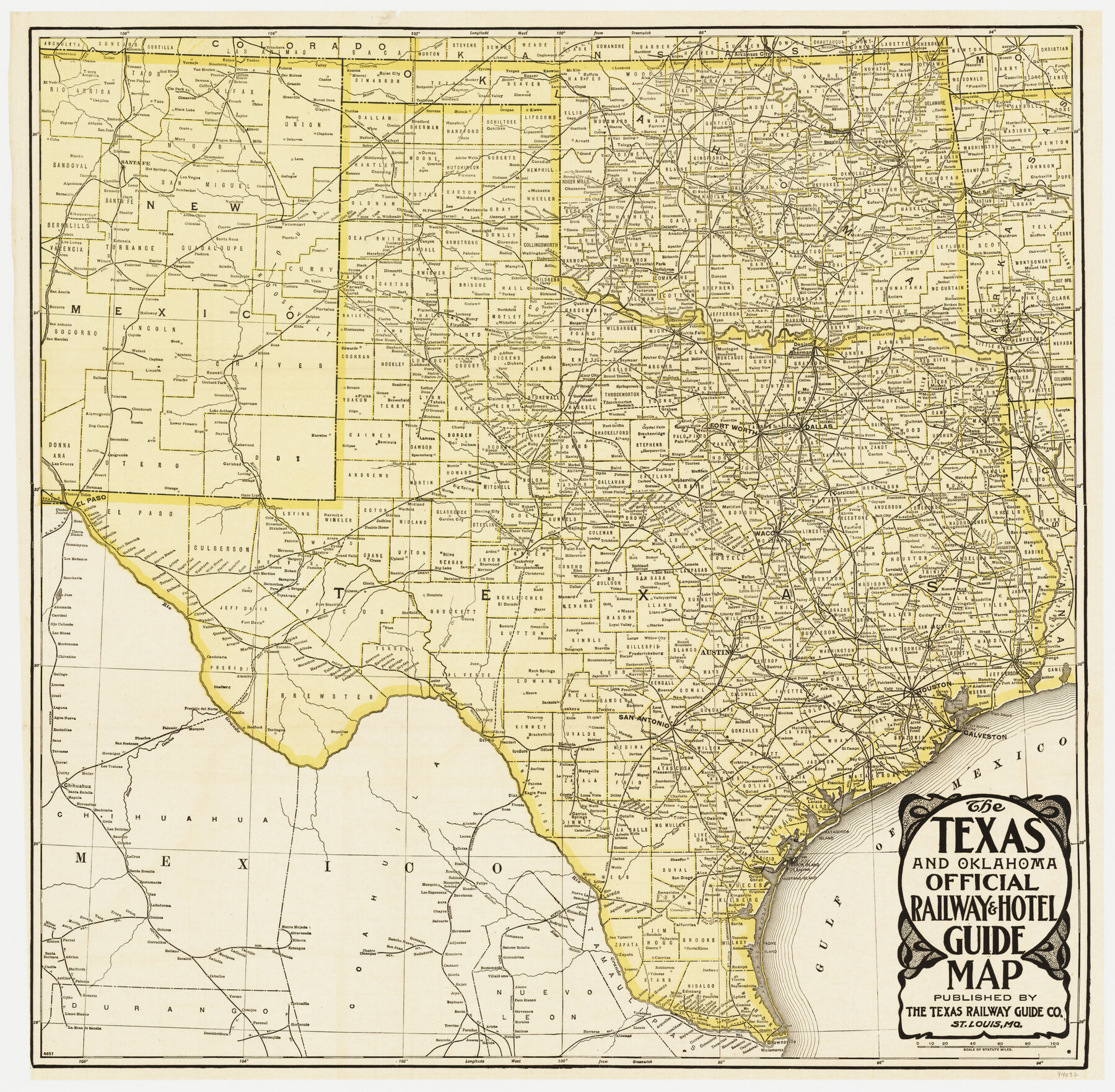
The Texas & Oklahoma Official Railway & Hotel Guide Map
-
Map/Doc
94032
-
Collection
General Map Collection
-
Object Dates
1917 (Creation Date)
-
People and Organizations
The Texas Railway Guide Co. (Publisher)
-
Subjects
Railroads State of Texas
-
Height x Width
23.6 x 24.1 inches
59.9 x 61.2 cm
-
Medium
paper, etching/engraving/lithograph
-
Comments
To view/download the accompanying time tables and hotel guide, please click the "Download PDF" link above.
Part of: General Map Collection
Rains County Sketch File 2

Print $4.00
- Digital $50.00
Rains County Sketch File 2
Size 10.1 x 7.4 inches
Map/Doc 34945
Wood County Rolled Sketch 1

Print $40.00
- Digital $50.00
Wood County Rolled Sketch 1
1941
Size 53.2 x 43.8 inches
Map/Doc 10159
Foard County Sketch File 25

Print $8.00
- Digital $50.00
Foard County Sketch File 25
1885
Size 12.9 x 8.5 inches
Map/Doc 22852
Upton County Rolled Sketch 12

Print $20.00
- Digital $50.00
Upton County Rolled Sketch 12
Size 30.3 x 38.3 inches
Map/Doc 10036
Pecos County Rolled Sketch 82

Print $20.00
- Digital $50.00
Pecos County Rolled Sketch 82
1930
Size 29.6 x 27.1 inches
Map/Doc 8371
Duval County Working Sketch 31

Print $20.00
- Digital $50.00
Duval County Working Sketch 31
1950
Size 29.1 x 34.0 inches
Map/Doc 68755
Sutton County Sketch File Z

Print $20.00
- Digital $50.00
Sutton County Sketch File Z
Size 21.8 x 28.3 inches
Map/Doc 12400
La Salle County Sketch File 34

Print $6.00
- Digital $50.00
La Salle County Sketch File 34
Size 15.8 x 9.5 inches
Map/Doc 29585
Terrell County Rolled Sketch 22

Print $20.00
- Digital $50.00
Terrell County Rolled Sketch 22
1903
Size 27.1 x 24.1 inches
Map/Doc 7930
Flight Mission No. DIX-6P, Frame 191, Aransas County

Print $20.00
- Digital $50.00
Flight Mission No. DIX-6P, Frame 191, Aransas County
1956
Size 19.0 x 22.7 inches
Map/Doc 83853
Bell County Sketch File 35

Print $40.00
- Digital $50.00
Bell County Sketch File 35
1952
Size 22.0 x 24.3 inches
Map/Doc 10918
Irion County Rolled Sketch 23

Print $40.00
- Digital $50.00
Irion County Rolled Sketch 23
Size 42.9 x 49.1 inches
Map/Doc 10302
You may also like

Map of Wilson County

Print $20.00
- Digital $50.00
Map of Wilson County
1840
Size 24.4 x 21.0 inches
Map/Doc 4154

Stonewall County Sketch File B1

Print $20.00
- Digital $50.00
Stonewall County Sketch File B1
1901
Size 36.2 x 34.9 inches
Map/Doc 10379

Red River County Working Sketch 77

Print $20.00
- Digital $50.00
Red River County Working Sketch 77
1981
Size 34.9 x 23.8 inches
Map/Doc 72060
Chambers County Sketch File 13

Print $6.00
- Digital $50.00
Chambers County Sketch File 13
1873
Size 9.8 x 12.4 inches
Map/Doc 17558
Boundary Line Between Texas and New Mexico, Supreme Court Decision - Oct. Term, 1930

Print $304.00
Boundary Line Between Texas and New Mexico, Supreme Court Decision - Oct. Term, 1930
1930
Map/Doc 81688
The Republic County of Gonzales. February 2, 1842

Print $20.00
The Republic County of Gonzales. February 2, 1842
2020
Size 14.7 x 21.7 inches
Map/Doc 96158
Martin County Boundary File 1

Print $10.00
- Digital $50.00
Martin County Boundary File 1
Size 11.2 x 8.7 inches
Map/Doc 56757
Limestone County Sketch File 11

Print $4.00
- Digital $50.00
Limestone County Sketch File 11
1881
Size 7.9 x 9.5 inches
Map/Doc 30177
Oldham County Boundary File 1b

Print $48.00
- Digital $50.00
Oldham County Boundary File 1b
Size 14.0 x 8.5 inches
Map/Doc 57747