![90345, [H. & O. B. Blocks 1, B9, 24, J], Twichell Survey Records](https://historictexasmaps.com/wmedia_w1800h1800/maps/90345-1.tif.jpg)
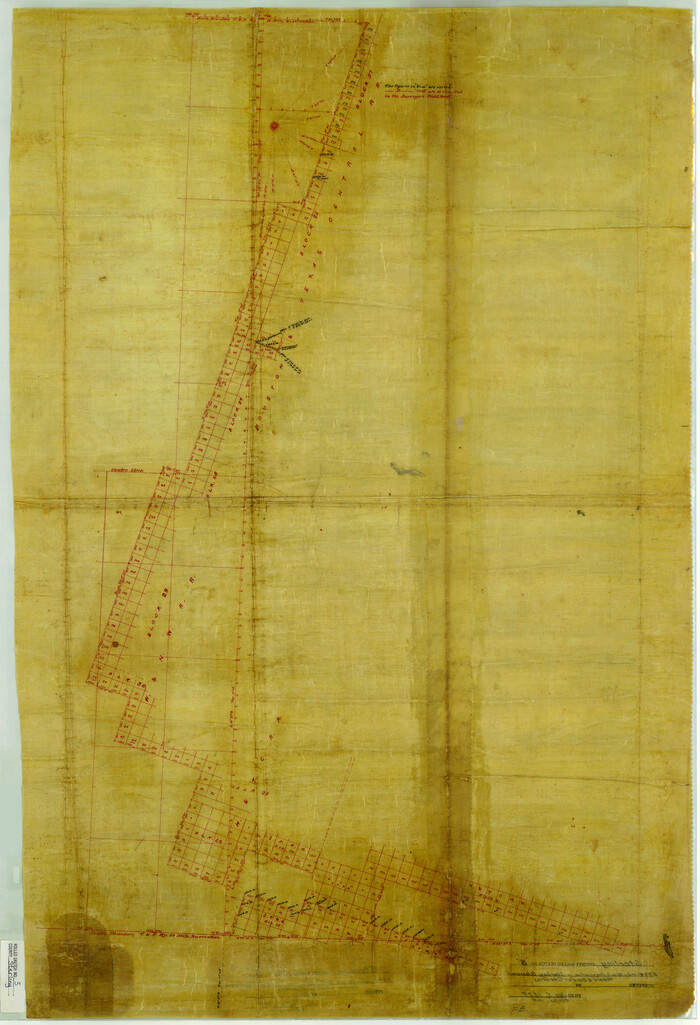
[H. & O. B. Blocks 1, B9, 24, J]
54-24
-
Map/Doc
90345
-
Collection
Twichell Survey Records
-
Counties
Crosby Lubbock Lynn Garza
-
Height x Width
25.2 x 23.6 inches
64.0 x 59.9 cm
Part of: Twichell Survey Records
[Sketch of Sections 61-64, l. & G. N. Block 1]
![91620, [Sketch of Sections 61-64, l. & G. N. Block 1], Twichell Survey Records](https://historictexasmaps.com/wmedia_w700/maps/91620-1.tif.jpg)
Print $20.00
- Digital $50.00
[Sketch of Sections 61-64, l. & G. N. Block 1]
Size 39.5 x 22.7 inches
Map/Doc 91620
[Blocks C31, C32, C36-C38 and C41-C42]
![91935, [Blocks C31, C32, C36-C38 and C41-C42], Twichell Survey Records](https://historictexasmaps.com/wmedia_w700/maps/91935-1.tif.jpg)
Print $20.00
- Digital $50.00
[Blocks C31, C32, C36-C38 and C41-C42]
Size 27.9 x 23.1 inches
Map/Doc 91935
Lubbock Cemetery out of South Part of Survey 3, Block B, T.T. Ry. Co. Amendment of Plat Recorded

Print $20.00
- Digital $50.00
Lubbock Cemetery out of South Part of Survey 3, Block B, T.T. Ry. Co. Amendment of Plat Recorded
Size 22.6 x 24.5 inches
Map/Doc 92794
[North Part of T. A. Thomson, Block T]
![91075, [North Part of T. A. Thomson, Block T], Twichell Survey Records](https://historictexasmaps.com/wmedia_w700/maps/91075-1.tif.jpg)
Print $20.00
- Digital $50.00
[North Part of T. A. Thomson, Block T]
Size 17.6 x 14.3 inches
Map/Doc 91075
King County Survey made by A. C. Tackitt and W. D. Twichell

Print $20.00
- Digital $50.00
King County Survey made by A. C. Tackitt and W. D. Twichell
1916
Size 25.8 x 30.8 inches
Map/Doc 92147
[Blocks T1, T2, T3, S3, A, 05, 02 and vicinity]
![92196, [Blocks T1, T2, T3, S3, A, 05, 02 and vicinity], Twichell Survey Records](https://historictexasmaps.com/wmedia_w700/maps/92196-1.tif.jpg)
Print $20.00
- Digital $50.00
[Blocks T1, T2, T3, S3, A, 05, 02 and vicinity]
Size 20.3 x 22.9 inches
Map/Doc 92196
Working Sketch Crosby, Garza, Lynn, and Lubbock Counties

Print $20.00
- Digital $50.00
Working Sketch Crosby, Garza, Lynn, and Lubbock Counties
1904
Size 34.3 x 36.4 inches
Map/Doc 92695
[Worksheets related to the Wilson Strickland survey and vicinity]
![91302, [Worksheets related to the Wilson Strickland survey and vicinity], Twichell Survey Records](https://historictexasmaps.com/wmedia_w700/maps/91302-1.tif.jpg)
Print $20.00
- Digital $50.00
[Worksheets related to the Wilson Strickland survey and vicinity]
Size 22.0 x 25.6 inches
Map/Doc 91302
[Nathaniel H. Cochran Survey and Vicinity]
![91496, [Nathaniel H. Cochran Survey and Vicinity], Twichell Survey Records](https://historictexasmaps.com/wmedia_w700/maps/91496-1.tif.jpg)
Print $20.00
- Digital $50.00
[Nathaniel H. Cochran Survey and Vicinity]
1922
Size 22.5 x 21.9 inches
Map/Doc 91496
[PSL Block A7, Sections 1 and 10]
![90831, [PSL Block A7, Sections 1 and 10], Twichell Survey Records](https://historictexasmaps.com/wmedia_w700/maps/90831-2.tif.jpg)
Print $3.00
- Digital $50.00
[PSL Block A7, Sections 1 and 10]
Size 11.9 x 9.3 inches
Map/Doc 90831
[Map showing Gaines, Dawson, Yoakum, Terry and Lynn Counties]
![92007, [Map showing Gaines, Dawson, Yoakum, Terry and Lynn Counties], Twichell Survey Records](https://historictexasmaps.com/wmedia_w700/maps/92007-1.tif.jpg)
Print $20.00
- Digital $50.00
[Map showing Gaines, Dawson, Yoakum, Terry and Lynn Counties]
Size 24.2 x 20.7 inches
Map/Doc 92007
University of Texas System University Lands

Print $20.00
- Digital $50.00
University of Texas System University Lands
1938
Size 17.9 x 23.5 inches
Map/Doc 93249
You may also like
Kimble County Sketch File 4

Print $8.00
- Digital $50.00
Kimble County Sketch File 4
1847
Size 7.9 x 12.1 inches
Map/Doc 28912
Map of Tom Green Co.

Print $40.00
- Digital $50.00
Map of Tom Green Co.
1880
Size 41.9 x 61.8 inches
Map/Doc 16899
[Sketch showing I. & G. N. Block 8]
![91798, [Sketch showing I. & G. N. Block 8], Twichell Survey Records](https://historictexasmaps.com/wmedia_w700/maps/91798-1.tif.jpg)
Print $2.00
- Digital $50.00
[Sketch showing I. & G. N. Block 8]
1919
Size 7.6 x 12.6 inches
Map/Doc 91798
Angelina County Working Sketch 51

Print $20.00
- Digital $50.00
Angelina County Working Sketch 51
1988
Size 44.0 x 23.0 inches
Map/Doc 67135
Brazoria County Sketch File 55

Print $80.00
- Digital $50.00
Brazoria County Sketch File 55
1899
Size 14.9 x 55.0 inches
Map/Doc 10327
Map of Trinity County Texas

Print $20.00
- Digital $50.00
Map of Trinity County Texas
1859
Size 21.5 x 30.6 inches
Map/Doc 4095

Fannin County Rolled Sketch 22

Print $20.00
- Digital $50.00
Fannin County Rolled Sketch 22
Size 19.1 x 20.7 inches
Map/Doc 5875
Houston County Sketch File 23

Print $6.00
- Digital $50.00
Houston County Sketch File 23
1852
Size 6.5 x 5.2 inches
Map/Doc 26793
Sterling County Rolled Sketch 5
Print $20.00
- Digital $50.00
Sterling County Rolled Sketch 5
Size 42.1 x 28.7 inches
Map/Doc 7843
S. M. S. Throckmorton Ranch, Throckmorton, Haskell, Baylor Cos.

Print $20.00
- Digital $50.00
S. M. S. Throckmorton Ranch, Throckmorton, Haskell, Baylor Cos.
1955
Size 33.8 x 45.1 inches
Map/Doc 2104
Angelina County Sketch File 32

Print $18.00
- Digital $50.00
Angelina County Sketch File 32
1994
Size 14.2 x 8.6 inches
Map/Doc 13092