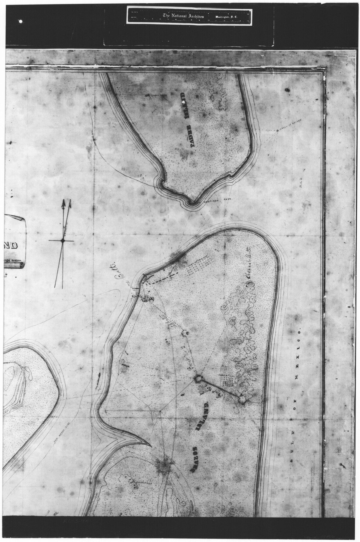
Map of north end of Brazos Island
RL-3-9a
-
Map/Doc
72906
-
Collection
General Map Collection
-
People and Organizations
Charles P. Haseltine (Author)
-
Subjects
Gulf of Mexico
-
Height x Width
27.5 x 18.3 inches
69.9 x 46.5 cm
-
Comments
B/W photostat copy from National Archives in multiple pieces.
Part of: General Map Collection
Orange County Sketch File 34

Print $20.00
- Digital $50.00
Orange County Sketch File 34
1929
Size 23.5 x 27.7 inches
Map/Doc 12126
Webb County Boundary File 5

Print $165.00
- Digital $50.00
Webb County Boundary File 5
Size 14.2 x 8.8 inches
Map/Doc 59765
Flight Mission No. BRA-7M, Frame 11, Jefferson County

Print $20.00
- Digital $50.00
Flight Mission No. BRA-7M, Frame 11, Jefferson County
1953
Size 18.6 x 22.3 inches
Map/Doc 85462
Culberson County Working Sketch 76

Print $20.00
- Digital $50.00
Culberson County Working Sketch 76
1975
Size 33.4 x 43.1 inches
Map/Doc 68530
Packery Channel

Print $3.00
- Digital $50.00
Packery Channel
1974
Size 10.2 x 10.3 inches
Map/Doc 3000
Nautical Chart 887-SC Intracoastal Waterway - Galveston Bay to Cedar Lakes including the Brazos and San Bernard Rivers, Texas

Print $40.00
- Digital $50.00
Nautical Chart 887-SC Intracoastal Waterway - Galveston Bay to Cedar Lakes including the Brazos and San Bernard Rivers, Texas
1971
Size 15.3 x 59.6 inches
Map/Doc 69939
Flight Mission No. DAG-24K, Frame 160, Matagorda County

Print $20.00
- Digital $50.00
Flight Mission No. DAG-24K, Frame 160, Matagorda County
1953
Size 18.6 x 22.5 inches
Map/Doc 86574
Hall County Sketch File D

Print $8.00
- Digital $50.00
Hall County Sketch File D
1906
Size 14.4 x 8.7 inches
Map/Doc 24792

Jackson County

Print $20.00
- Digital $50.00
Jackson County
1920
Size 46.9 x 40.8 inches
Map/Doc 77324
Victoria County Aerial Photograph Index Sheet 4

Print $20.00
- Digital $50.00
Victoria County Aerial Photograph Index Sheet 4
1953
Size 19.8 x 23.4 inches
Map/Doc 83748
Bowie County Working Sketch 22

Print $40.00
- Digital $50.00
Bowie County Working Sketch 22
1968
Size 49.0 x 37.8 inches
Map/Doc 67426
You may also like
Flight Mission No. CRC-2R, Frame 109, Chambers County

Print $20.00
- Digital $50.00
Flight Mission No. CRC-2R, Frame 109, Chambers County
1956
Size 18.6 x 22.3 inches
Map/Doc 84736
The Republic County of Colorado. Proposed, Late Fall 1837-January 1, 1838

Print $20.00
The Republic County of Colorado. Proposed, Late Fall 1837-January 1, 1838
2020
Size 18.4 x 21.7 inches
Map/Doc 96119
Wise County Sketch File 25

Print $4.00
- Digital $50.00
Wise County Sketch File 25
1860
Size 12.5 x 8.1 inches
Map/Doc 40572
Garza County Sketch File 21

Print $4.00
- Digital $50.00
Garza County Sketch File 21
1906
Size 14.4 x 8.7 inches
Map/Doc 24078
Presidio County Sketch File H

Print $4.00
- Digital $50.00
Presidio County Sketch File H
Size 5.8 x 9.6 inches
Map/Doc 34431
Webb County Working Sketch 11

Print $20.00
- Digital $50.00
Webb County Working Sketch 11
1921
Size 17.8 x 16.3 inches
Map/Doc 72376
Galveston Harbor and Channel, Texas - Rehabilitation of Galveston Groins - Location Plan of Rehabilitation

Print $4.00
- Digital $50.00
Galveston Harbor and Channel, Texas - Rehabilitation of Galveston Groins - Location Plan of Rehabilitation
1968
Size 19.7 x 21.5 inches
Map/Doc 73627
Duval County Sketch File 34

Print $20.00
- Digital $50.00
Duval County Sketch File 34
Size 28.4 x 36.9 inches
Map/Doc 11391
Jones County Working Sketch 1

Print $20.00
- Digital $50.00
Jones County Working Sketch 1
Size 21.1 x 11.2 inches
Map/Doc 66639
Cass County Rolled Sketch BRR

Print $40.00
- Digital $50.00
Cass County Rolled Sketch BRR
1936
Size 67.3 x 28.0 inches
Map/Doc 8581
Bexar County Sketch File 31

Print $40.00
- Digital $50.00
Bexar County Sketch File 31
1867
Size 11.3 x 16.4 inches
Map/Doc 10920
Map of Duval County

Print $20.00
- Digital $50.00
Map of Duval County
1875
Size 31.0 x 22.2 inches
Map/Doc 3496