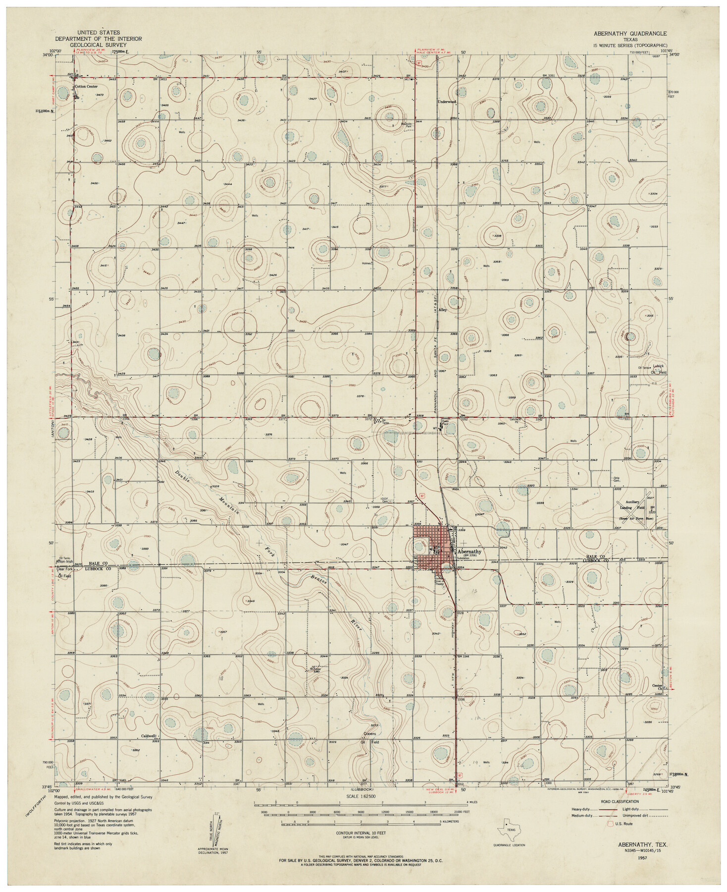
Abernathy Quadrangle
-
Map/Doc
92813
-
Collection
Twichell Survey Records
-
People and Organizations
United States Department of the Interior (Compiler)
-
Counties
Lubbock Hale
-
Subjects
Topographic
-
Height x Width
17.6 x 21.4 inches
44.7 x 54.4 cm
Part of: Twichell Survey Records

James Subdivision, NE/4 Section 1, Block E, G. C. & S. F. R.R. Co. Cert 3/360, Abstract 46

Print $3.00
- Digital $50.00
James Subdivision, NE/4 Section 1, Block E, G. C. & S. F. R.R. Co. Cert 3/360, Abstract 46
Size 11.0 x 12.2 inches
Map/Doc 92705
Rhyne Simpson Addition City of Lubbock Section 3, Block O

Print $20.00
- Digital $50.00
Rhyne Simpson Addition City of Lubbock Section 3, Block O
1951
Size 18.2 x 23.4 inches
Map/Doc 92845
[Map of Panhandle Counties]
![91170, [Map of Panhandle Counties], Twichell Survey Records](https://historictexasmaps.com/wmedia_w700/maps/91170-1.tif.jpg)
Print $20.00
- Digital $50.00
[Map of Panhandle Counties]
Size 27.4 x 22.9 inches
Map/Doc 91170
[Blocks C4, S1, K and C3 in Northern Hale/Southern Swisher Counties]
![91858, [Blocks C4, S1, K and C3 in Northern Hale/Southern Swisher Counties], Twichell Survey Records](https://historictexasmaps.com/wmedia_w700/maps/91858-1.tif.jpg)
Print $2.00
- Digital $50.00
[Blocks C4, S1, K and C3 in Northern Hale/Southern Swisher Counties]
1906
Size 15.0 x 8.7 inches
Map/Doc 91858
Working Sketch Bastrop County

Print $3.00
- Digital $50.00
Working Sketch Bastrop County
1923
Size 11.0 x 16.2 inches
Map/Doc 90207
Seagraves, Gaines County, Texas, Located in Surveys 10 and 15, Block C-34

Print $20.00
- Digital $50.00
Seagraves, Gaines County, Texas, Located in Surveys 10 and 15, Block C-34
Size 33.3 x 23.8 inches
Map/Doc 92687
Working Sketch Crockett County

Print $20.00
- Digital $50.00
Working Sketch Crockett County
1924
Size 31.2 x 35.1 inches
Map/Doc 92608
[Sketch of Blks. 2, 2B, 3B]
![89638, [Sketch of Blks. 2, 2B, 3B], Twichell Survey Records](https://historictexasmaps.com/wmedia_w700/maps/89638-1.tif.jpg)
Print $20.00
- Digital $50.00
[Sketch of Blks. 2, 2B, 3B]
1918
Size 38.0 x 33.2 inches
Map/Doc 89638
Sketch Portion of Lamb County, Texas

Print $20.00
- Digital $50.00
Sketch Portion of Lamb County, Texas
1924
Size 19.9 x 21.4 inches
Map/Doc 92176
[Survey 321, Double Lakes Area Northwest of Tahoka]
![89962, [Survey 321, Double Lakes Area Northwest of Tahoka], Twichell Survey Records](https://historictexasmaps.com/wmedia_w700/maps/89962-1.tif.jpg)
Print $20.00
- Digital $50.00
[Survey 321, Double Lakes Area Northwest of Tahoka]
Size 41.3 x 43.0 inches
Map/Doc 89962
[Surveys Adjacent to W. D. Twichell's near Palo Pinto Creek]
![92102, [Surveys Adjacent to W. D. Twichell's near Palo Pinto Creek], Twichell Survey Records](https://historictexasmaps.com/wmedia_w700/maps/92102-1.tif.jpg)
Print $2.00
- Digital $50.00
[Surveys Adjacent to W. D. Twichell's near Palo Pinto Creek]
Size 8.4 x 6.2 inches
Map/Doc 92102
You may also like
Kimble County Sketch File 34

Print $20.00
- Digital $50.00
Kimble County Sketch File 34
1963
Size 26.2 x 16.3 inches
Map/Doc 11931
El Paso County Sketch File 35 (2)

Print $18.00
- Digital $50.00
El Paso County Sketch File 35 (2)
1886
Size 12.9 x 8.3 inches
Map/Doc 22170
Crockett County Rolled Sketch 46

Print $20.00
- Digital $50.00
Crockett County Rolled Sketch 46
1938
Size 46.0 x 43.0 inches
Map/Doc 8711
La Salle County Rolled Sketch 33

Print $20.00
- Digital $50.00
La Salle County Rolled Sketch 33
2015
Size 17.6 x 27.6 inches
Map/Doc 95306
Houston County Working Sketch 21

Print $20.00
- Digital $50.00
Houston County Working Sketch 21
1981
Size 26.6 x 39.6 inches
Map/Doc 66251
Nueces County Rolled Sketch 94

Print $108.00
Nueces County Rolled Sketch 94
1983
Size 24.2 x 36.6 inches
Map/Doc 7044
The Chief Justice County of Refugio. Proposed, No Date

Print $20.00
The Chief Justice County of Refugio. Proposed, No Date
2020
Size 22.6 x 21.7 inches
Map/Doc 96067
Edwards County Working Sketch 134

Print $40.00
- Digital $50.00
Edwards County Working Sketch 134
1986
Size 29.4 x 54.2 inches
Map/Doc 69010
Bosque County Working Sketch 27

Print $20.00
- Digital $50.00
Bosque County Working Sketch 27
2006
Size 29.8 x 38.0 inches
Map/Doc 85241
Walker County Sketch File 5

Print $4.00
- Digital $50.00
Walker County Sketch File 5
Size 13.5 x 8.3 inches
Map/Doc 39555
Young County Working Sketch 21

Print $20.00
- Digital $50.00
Young County Working Sketch 21
1964
Size 42.2 x 31.2 inches
Map/Doc 62044
Marion County Working Sketch 18

Print $20.00
- Digital $50.00
Marion County Working Sketch 18
1957
Size 36.4 x 40.3 inches
Map/Doc 70794