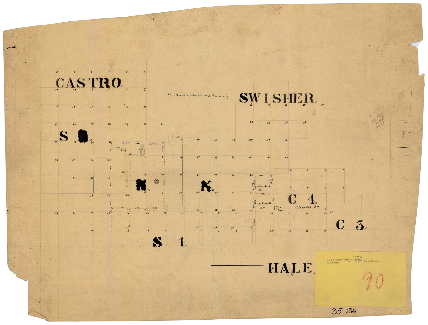
EL&RR S2, HE&WT K3, Pt.L&SV K, C4 & C3
35-26
-
Map/Doc
90416
-
Collection
Twichell Survey Records
-
Counties
Castro
-
Height x Width
23.3 x 17.5 inches
59.2 x 44.5 cm
Part of: Twichell Survey Records
Map of Terry County

Print $2.00
- Digital $50.00
Map of Terry County
Size 7.7 x 8.4 inches
Map/Doc 92887
[Lgs. 195-199, 111, 112, 211-214, 678]
![90105, [Lgs. 195-199, 111, 112, 211-214, 678], Twichell Survey Records](https://historictexasmaps.com/wmedia_w700/maps/90105-1.tif.jpg)
Print $20.00
- Digital $50.00
[Lgs. 195-199, 111, 112, 211-214, 678]
Size 16.6 x 13.0 inches
Map/Doc 90105
[Sketch of Fred Turner Survey 7]
![91542, [Sketch of Fred Turner Survey 7], Twichell Survey Records](https://historictexasmaps.com/wmedia_w700/maps/91542-1.tif.jpg)
Print $2.00
- Digital $50.00
[Sketch of Fred Turner Survey 7]
1928
Size 9.0 x 12.2 inches
Map/Doc 91542
Farm Owned by Dr. J. T. Krueger

Print $20.00
- Digital $50.00
Farm Owned by Dr. J. T. Krueger
Size 16.9 x 32.8 inches
Map/Doc 92344
Section J Tech Memorial Park, Inc. Infants Garden

Print $2.00
- Digital $50.00
Section J Tech Memorial Park, Inc. Infants Garden
1949
Size 8.8 x 13.0 inches
Map/Doc 92352
[H. & G. N. Block 1]
![90945, [H. & G. N. Block 1], Twichell Survey Records](https://historictexasmaps.com/wmedia_w700/maps/90945-1.tif.jpg)
Print $20.00
- Digital $50.00
[H. & G. N. Block 1]
1873
Size 17.4 x 14.1 inches
Map/Doc 90945
[T. & P. Surveys in Crane, Upton, Coke Counties]
![90464, [T. & P. Surveys in Crane, Upton, Coke Counties], Twichell Survey Records](https://historictexasmaps.com/wmedia_w700/maps/90464-1.tif.jpg)
Print $20.00
- Digital $50.00
[T. & P. Surveys in Crane, Upton, Coke Counties]
Size 19.2 x 21.2 inches
Map/Doc 90464

[Blocks K-7, K-8, Leagues 443-446, 390, 392, 407-410]
![90543, [Blocks K-7, K-8, Leagues 443-446, 390, 392, 407-410], Twichell Survey Records](https://historictexasmaps.com/wmedia_w700/maps/90543-1.tif.jpg)
Print $3.00
- Digital $50.00
[Blocks K-7, K-8, Leagues 443-446, 390, 392, 407-410]
Size 10.4 x 14.2 inches
Map/Doc 90543
Working Sketch in McMullen County

Print $20.00
- Digital $50.00
Working Sketch in McMullen County
1919
Size 20.3 x 31.7 inches
Map/Doc 91345
Revised Plat of Tahoka Heights Addition Located on the SE 1/4 of Section 568

Print $20.00
- Digital $50.00
Revised Plat of Tahoka Heights Addition Located on the SE 1/4 of Section 568
Size 17.5 x 21.9 inches
Map/Doc 92942
[Blocks 71 and C-8]
![91778, [Blocks 71 and C-8], Twichell Survey Records](https://historictexasmaps.com/wmedia_w700/maps/91778-1.tif.jpg)
Print $20.00
- Digital $50.00
[Blocks 71 and C-8]
Size 29.7 x 21.1 inches
Map/Doc 91778
You may also like
Flight Mission No. BRA-16M, Frame 129, Jefferson County

Print $20.00
- Digital $50.00
Flight Mission No. BRA-16M, Frame 129, Jefferson County
1953
Size 18.4 x 22.7 inches
Map/Doc 85739
Ward County Rolled Sketch 23

Print $20.00
- Digital $50.00
Ward County Rolled Sketch 23
1955
Size 31.5 x 37.5 inches
Map/Doc 10111
Current Miscellaneous File 105

Print $18.00
- Digital $50.00
Current Miscellaneous File 105
Size 8.8 x 14.2 inches
Map/Doc 74680
Hutchinson County Working Sketch 25

Print $20.00
- Digital $50.00
Hutchinson County Working Sketch 25
1972
Size 21.5 x 25.0 inches
Map/Doc 66385
Map of Cherokee Co.

Print $40.00
- Digital $50.00
Map of Cherokee Co.
1902
Size 49.6 x 39.7 inches
Map/Doc 4908
Sutton County Rolled Sketch 38

Print $20.00
- Digital $50.00
Sutton County Rolled Sketch 38
1898
Size 19.6 x 35.1 inches
Map/Doc 7881
[Sketch of Potter County Road, North of River]
![93059, [Sketch of Potter County Road, North of River], Twichell Survey Records](https://historictexasmaps.com/wmedia_w700/maps/93059-1.tif.jpg)
Print $20.00
- Digital $50.00
[Sketch of Potter County Road, North of River]
Size 12.5 x 29.5 inches
Map/Doc 93059
Camp County Working Sketch 4

Print $20.00
- Digital $50.00
Camp County Working Sketch 4
2003
Size 31.6 x 25.3 inches
Map/Doc 82432
[Galveston, Harrisburg & San Antonio Railroad from Cuero to Stockdale]
![64204, [Galveston, Harrisburg & San Antonio Railroad from Cuero to Stockdale], General Map Collection](https://historictexasmaps.com/wmedia_w700/maps/64204.tif.jpg)
Print $20.00
- Digital $50.00
[Galveston, Harrisburg & San Antonio Railroad from Cuero to Stockdale]
1907
Size 13.3 x 33.1 inches
Map/Doc 64204
Hockley County Sketch File 15

Print $6.00
- Digital $50.00
Hockley County Sketch File 15
1912
Size 11.4 x 8.9 inches
Map/Doc 26550
[Surveys in Austin's Colony along the west bank of the Colorado River]
![199, [Surveys in Austin's Colony along the west bank of the Colorado River], General Map Collection](https://historictexasmaps.com/wmedia_w700/maps/199.tif.jpg)
Print $20.00
- Digital $50.00
[Surveys in Austin's Colony along the west bank of the Colorado River]
1831
Size 10.9 x 28.5 inches
Map/Doc 199
Willacy County Aerial Photograph Index Sheet 4

Print $20.00
- Digital $50.00
Willacy County Aerial Photograph Index Sheet 4
1955
Size 24.3 x 19.8 inches
Map/Doc 83759