Aerial Photos
-
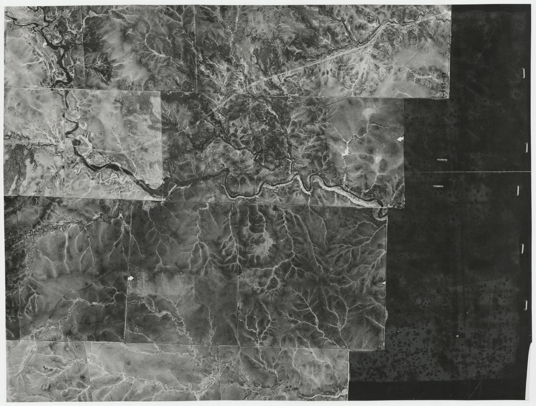
Map/Doc
92107
-
Collection
Twichell Survey Records
-
Counties
Potter
-
Subjects
Aerial Photograph
-
Height x Width
16.6 x 12.5 inches
42.2 x 31.8 cm
Part of: Twichell Survey Records
[S. Abercrom and surrounding surveys]
![91016, [S. Abercrom and surrounding surveys], Twichell Survey Records](https://historictexasmaps.com/wmedia_w700/maps/91016-1.tif.jpg)
Print $20.00
- Digital $50.00
[S. Abercrom and surrounding surveys]
Size 27.7 x 21.7 inches
Map/Doc 91016
Deaf Smith County

Print $40.00
- Digital $50.00
Deaf Smith County
1922
Size 55.0 x 43.9 inches
Map/Doc 89768
[State of Texas]
![92061, [State of Texas], Twichell Survey Records](https://historictexasmaps.com/wmedia_w700/maps/92061-1.tif.jpg)
Print $20.00
- Digital $50.00
[State of Texas]
Size 13.7 x 13.7 inches
Map/Doc 92061
[Subdivision Plat of 80 acres]
![93074, [Subdivision Plat of 80 acres], Twichell Survey Records](https://historictexasmaps.com/wmedia_w700/maps/93074-1.tif.jpg)
Print $2.00
- Digital $50.00
[Subdivision Plat of 80 acres]
Size 10.6 x 6.3 inches
Map/Doc 93074
Shackelford County

Print $20.00
- Digital $50.00
Shackelford County
1920
Size 39.2 x 46.1 inches
Map/Doc 93031
[State Capitol Leagues, County School Leagues, and vicinity]
![92535, [State Capitol Leagues, County School Leagues, and vicinity], Twichell Survey Records](https://historictexasmaps.com/wmedia_w700/maps/92535-1.tif.jpg)
Print $20.00
- Digital $50.00
[State Capitol Leagues, County School Leagues, and vicinity]
1913
Size 20.8 x 27.6 inches
Map/Doc 92535
![91800, [Block M-19], Twichell Survey Records](https://historictexasmaps.com/wmedia_w700/maps/91800-1.tif.jpg)
Working Sketch Crockett County

Print $20.00
- Digital $50.00
Working Sketch Crockett County
1925
Size 16.6 x 15.2 inches
Map/Doc 90476
[Blks. B9, J, D19, John Walker]
![90480, [Blks. B9, J, D19, John Walker], Twichell Survey Records](https://historictexasmaps.com/wmedia_w700/maps/90480-1.tif.jpg)
Print $20.00
- Digital $50.00
[Blks. B9, J, D19, John Walker]
Size 28.6 x 15.9 inches
Map/Doc 90480

![92955, [Block 4X], Twichell Survey Records](https://historictexasmaps.com/wmedia_w700/maps/92955-1.tif.jpg)
Alexander's Subdivision Tract 2, League 64 Midland County School Land, Cochran County, Texas

Print $20.00
- Digital $50.00
Alexander's Subdivision Tract 2, League 64 Midland County School Land, Cochran County, Texas
1937
Size 19.1 x 22.7 inches
Map/Doc 92518
You may also like
Maverick County Sketch File 10a

Print $19.00
- Digital $50.00
Maverick County Sketch File 10a
1878
Size 15.4 x 10.0 inches
Map/Doc 31083
Map of Encinal County, Texas

Print $20.00
- Digital $50.00
Map of Encinal County, Texas
1879
Size 22.7 x 28.4 inches
Map/Doc 715
Eastland County Working Sketch 10

Print $20.00
- Digital $50.00
Eastland County Working Sketch 10
1919
Size 20.2 x 16.3 inches
Map/Doc 68791

Flight Mission No. CLL-1N, Frame 80, Willacy County

Print $20.00
- Digital $50.00
Flight Mission No. CLL-1N, Frame 80, Willacy County
1954
Size 18.4 x 22.1 inches
Map/Doc 87026
Ward County Working Sketch 32

Print $40.00
- Digital $50.00
Ward County Working Sketch 32
1967
Size 32.5 x 66.0 inches
Map/Doc 72338
San Patricio County Boundary File 77

Digital $50.00
San Patricio County Boundary File 77
Map/Doc 81963
Brewster County Sketch File N-26

Print $40.00
- Digital $50.00
Brewster County Sketch File N-26
Size 20.5 x 15.4 inches
Map/Doc 10971
Chambers County Sketch File 22

Print $8.00
- Digital $50.00
Chambers County Sketch File 22
Size 12.2 x 7.6 inches
Map/Doc 17594
Brewster County Rolled Sketch OS

Print $20.00
- Digital $50.00
Brewster County Rolled Sketch OS
Size 17.6 x 21.7 inches
Map/Doc 5323
[Corpus Christi Bay, Padre Island, Mustang Island, Laguna de la Madre, King and Kenedy's Pasture]
![73043, [Corpus Christi Bay, Padre Island, Mustang Island, Laguna de la Madre, King and Kenedy's Pasture], General Map Collection](https://historictexasmaps.com/wmedia_w700/maps/73043.tif.jpg)
Print $20.00
- Digital $50.00
[Corpus Christi Bay, Padre Island, Mustang Island, Laguna de la Madre, King and Kenedy's Pasture]
Size 27.0 x 18.2 inches
Map/Doc 73043
Jack County Sketch File 2

Print $6.00
- Digital $50.00
Jack County Sketch File 2
1856
Size 8.8 x 8.0 inches
Map/Doc 27501