[Sketch showing H. & T. C. R. R. Co. Blk. 48, S. P. R. R. Co. Blk. I, and E. T. R. R. Co. Blk. I]
56-4
-
Map/Doc
89647
-
Collection
Twichell Survey Records
-
Counties
Dallam
-
Height x Width
51.4 x 9.2 inches
130.6 x 23.4 cm
Part of: Twichell Survey Records
'O Bar O' Ranch


Print $40.00
- Digital $50.00
'O Bar O' Ranch
1946
Size 47.8 x 82.6 inches
Map/Doc 93202
Sketch showing north boundary line of XIT lands and conflict of enclosure with L. & H. Blum land


Print $2.00
- Digital $50.00
Sketch showing north boundary line of XIT lands and conflict of enclosure with L. & H. Blum land
1906
Size 14.4 x 7.8 inches
Map/Doc 90519
James Subdivision, NE/4 Section 1, Block E, G. C. & S. F. R.R. Co. Cert 3/360, Abstract 46


Print $20.00
- Digital $50.00
James Subdivision, NE/4 Section 1, Block E, G. C. & S. F. R.R. Co. Cert 3/360, Abstract 46
Size 17.8 x 19.4 inches
Map/Doc 92734
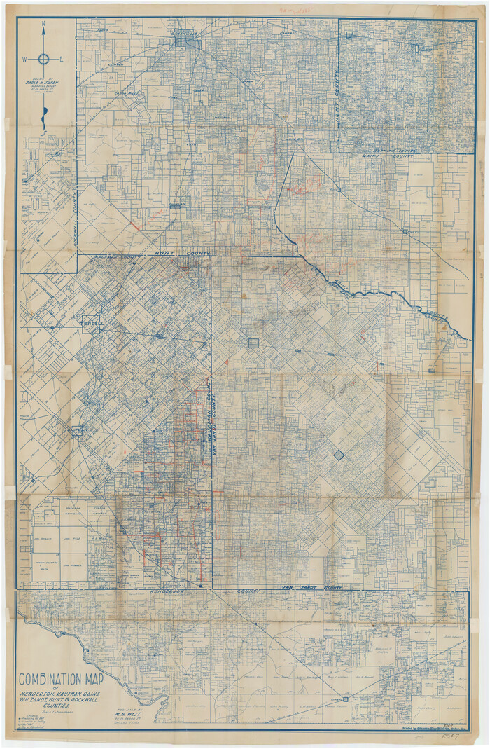
Combination Map of Henderson, Kaufman, Rains, Van Zandt, Hunt & Rockwall Counties

Print $40.00
- Digital $50.00
Combination Map of Henderson, Kaufman, Rains, Van Zandt, Hunt & Rockwall Counties
Size 42.6 x 64.8 inches
Map/Doc 89810
Water Plant for E. C. Stovall, South Bend, Texas


Print $20.00
- Digital $50.00
Water Plant for E. C. Stovall, South Bend, Texas
1914
Size 37.1 x 24.6 inches
Map/Doc 92142
C B Live Stock Co.'s West-Ranch


Print $2.00
- Digital $50.00
C B Live Stock Co.'s West-Ranch
Size 6.4 x 8.6 inches
Map/Doc 90178
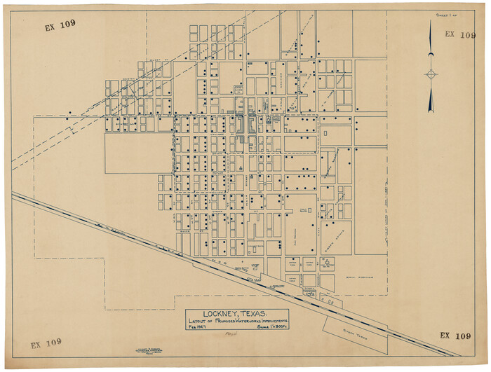
Lockney, Texas. Layout of Proposed Waterworks Improvements

Print $20.00
- Digital $50.00
Lockney, Texas. Layout of Proposed Waterworks Improvements
1927
Size 30.8 x 23.4 inches
Map/Doc 92643
[8 Ranch, Kent County, Texas]
![91032, [8 Ranch, Kent County, Texas], Twichell Survey Records](https://historictexasmaps.com/wmedia_w700/maps/91032-1.tif.jpg)
![91032, [8 Ranch, Kent County, Texas], Twichell Survey Records](https://historictexasmaps.com/wmedia_w700/maps/91032-1.tif.jpg)
Print $20.00
- Digital $50.00
[8 Ranch, Kent County, Texas]
1946
Size 21.4 x 37.4 inches
Map/Doc 91032
Sketch Showing all that Portion of Block 24 North of Santa Fe R. R. Right-of-Way in Original Town of Lubbock


Print $20.00
- Digital $50.00
Sketch Showing all that Portion of Block 24 North of Santa Fe R. R. Right-of-Way in Original Town of Lubbock
1925
Size 27.5 x 35.6 inches
Map/Doc 92810
[Blocks K11, K6, K5, M19, H1, and Leagues North of Block S]
![91409, [Blocks K11, K6, K5, M19, H1, and Leagues North of Block S], Twichell Survey Records](https://historictexasmaps.com/wmedia_w700/maps/91409-1.tif.jpg)
![91409, [Blocks K11, K6, K5, M19, H1, and Leagues North of Block S], Twichell Survey Records](https://historictexasmaps.com/wmedia_w700/maps/91409-1.tif.jpg)
Print $20.00
- Digital $50.00
[Blocks K11, K6, K5, M19, H1, and Leagues North of Block S]
1902
Size 33.3 x 25.3 inches
Map/Doc 91409
[Capitol Land Leagues and Blocks M6, 10T, T1, O5 and part of Block B]
![93194, [Capitol Land Leagues and Blocks M6, 10T, T1, O5 and part of Block B], Twichell Survey Records](https://historictexasmaps.com/wmedia_w700/maps/93194-1.tif.jpg)
![93194, [Capitol Land Leagues and Blocks M6, 10T, T1, O5 and part of Block B], Twichell Survey Records](https://historictexasmaps.com/wmedia_w700/maps/93194-1.tif.jpg)
Print $40.00
- Digital $50.00
[Capitol Land Leagues and Blocks M6, 10T, T1, O5 and part of Block B]
Size 43.7 x 105.6 inches
Map/Doc 93194
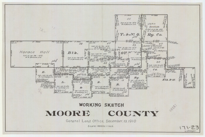
Working Sketch in Moore County

Print $3.00
- Digital $50.00
Working Sketch in Moore County
1910
Size 15.0 x 10.0 inches
Map/Doc 91537
You may also like
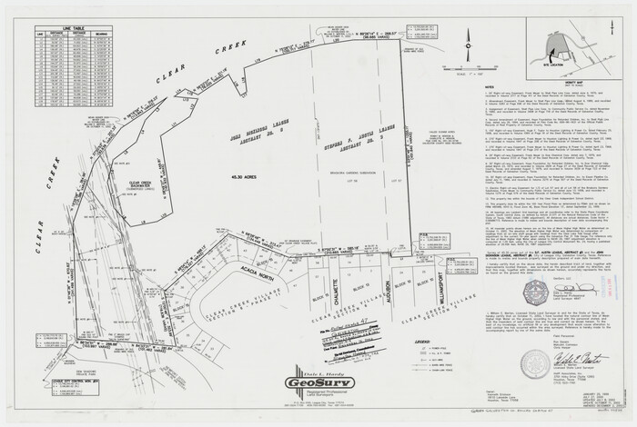
Galveston County Rolled Sketch 47

Print $20.00
- Digital $50.00
Galveston County Rolled Sketch 47
1999
Size 24.6 x 36.7 inches
Map/Doc 77534
Stephens County Sketch File 1
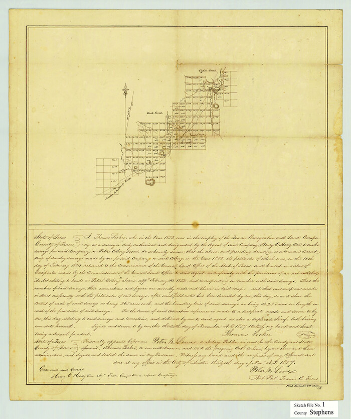

Print $20.00
- Digital $50.00
Stephens County Sketch File 1
1857
Size 19.2 x 16.1 inches
Map/Doc 12347
Harrison County Sketch File 11


Print $22.00
- Digital $50.00
Harrison County Sketch File 11
1904
Size 9.2 x 9.3 inches
Map/Doc 26052
Bell County Sketch File 13
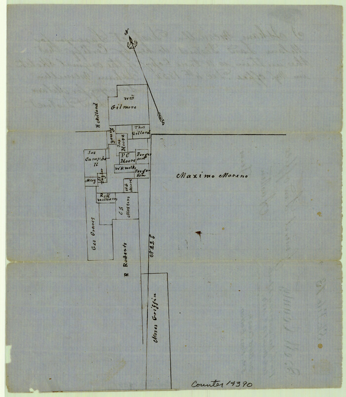

Print $4.00
- Digital $50.00
Bell County Sketch File 13
1854
Size 9.3 x 8.1 inches
Map/Doc 14390
Wise County Sketch File 12


Print $20.00
- Digital $50.00
Wise County Sketch File 12
1854
Size 13.4 x 19.0 inches
Map/Doc 12699
Anderson County Sketch File 11a
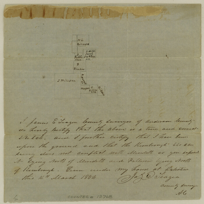

Print $6.00
- Digital $50.00
Anderson County Sketch File 11a
1854
Size 8.2 x 8.2 inches
Map/Doc 12768
Map Showing Part of the Blue Ridge Farm of the Texas Prison System, Fort Bend County, Texas
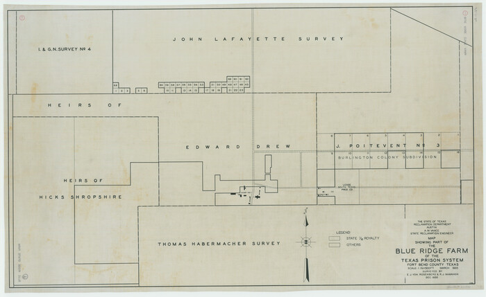

Print $20.00
- Digital $50.00
Map Showing Part of the Blue Ridge Farm of the Texas Prison System, Fort Bend County, Texas
Size 22.2 x 36.2 inches
Map/Doc 62979
Fort Bend County


Print $20.00
- Digital $50.00
Fort Bend County
1892
Size 29.3 x 25.7 inches
Map/Doc 3551
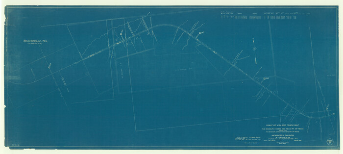
Right of Way and Track Map, The Missouri, Kansas and Texas Ry. of Texas operated by the Missouri, Kansas and Texas Ry. of Texas, Henrietta Division

Print $40.00
- Digital $50.00
Right of Way and Track Map, The Missouri, Kansas and Texas Ry. of Texas operated by the Missouri, Kansas and Texas Ry. of Texas, Henrietta Division
1918
Size 25.5 x 57.0 inches
Map/Doc 64071
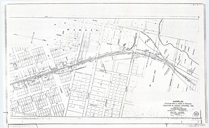
Railroad Track Map, H&TCRRCo., Falls County, Texas

Print $4.00
- Digital $50.00
Railroad Track Map, H&TCRRCo., Falls County, Texas
1918
Size 11.4 x 18.7 inches
Map/Doc 62851
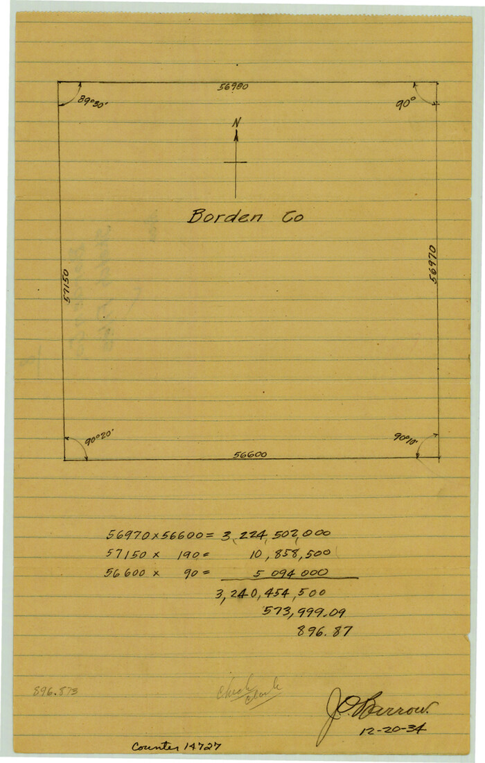
Borden County Sketch File 8

Print $2.00
- Digital $50.00
Borden County Sketch File 8
1934
Size 11.5 x 7.3 inches
Map/Doc 14727
Mitchell County Rolled Sketch 3


Print $40.00
- Digital $50.00
Mitchell County Rolled Sketch 3
1940
Size 39.6 x 49.0 inches
Map/Doc 9524
![89647, [Sketch showing H. & T. C. R. R. Co. Blk. 48, S. P. R. R. Co. Blk. I, and E. T. R. R. Co. Blk. I], Twichell Survey Records](https://historictexasmaps.com/wmedia_w1800h1800/maps/89647-1.tif.jpg)