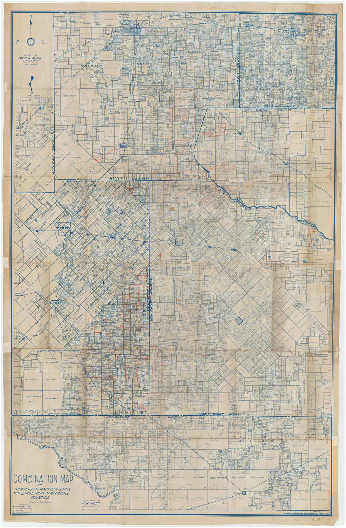
Combination Map of Henderson, Kaufman, Rains, Van Zandt, Hunt & Rockwall Counties
234-7
Part of: Twichell Survey Records
[King/Stonewall County Line]
![90979, [King/Stonewall County Line], Twichell Survey Records](https://historictexasmaps.com/wmedia_w700/maps/90979-1.tif.jpg)
Print $20.00
- Digital $50.00
[King/Stonewall County Line]
1895
Size 38.9 x 8.3 inches
Map/Doc 90979
Sheet 4 copied from Peck Book 6 [Strip Map showing T. & P. connecting lines]
![93170, Sheet 4 copied from Peck Book 6 [Strip Map showing T. & P. connecting lines], Twichell Survey Records](https://historictexasmaps.com/wmedia_w700/maps/93170-1.tif.jpg)
Print $40.00
- Digital $50.00
Sheet 4 copied from Peck Book 6 [Strip Map showing T. & P. connecting lines]
1909
Size 7.0 x 54.8 inches
Map/Doc 93170
[Texas Boundary Line]
![92073, [Texas Boundary Line], Twichell Survey Records](https://historictexasmaps.com/wmedia_w700/maps/92073-1.tif.jpg)
Print $20.00
- Digital $50.00
[Texas Boundary Line]
Size 21.5 x 11.9 inches
Map/Doc 92073
J. F. Kelley Farm

Print $20.00
- Digital $50.00
J. F. Kelley Farm
Size 16.3 x 19.5 inches
Map/Doc 92408
Map of City of Brownfield, Texas

Print $20.00
- Digital $50.00
Map of City of Brownfield, Texas
1953
Size 44.4 x 40.1 inches
Map/Doc 89890
[Sketch showing details along East line of Lipscomb County]
![89968, [Sketch showing details along East line of Lipscomb County], Twichell Survey Records](https://historictexasmaps.com/wmedia_w700/maps/89968-1.tif.jpg)
Print $40.00
- Digital $50.00
[Sketch showing details along East line of Lipscomb County]
Size 9.9 x 66.3 inches
Map/Doc 89968
[E. L. & R. R. Block 10]
![91353, [E. L. & R. R. Block 10], Twichell Survey Records](https://historictexasmaps.com/wmedia_w700/maps/91353-1.tif.jpg)
Print $20.00
- Digital $50.00
[E. L. & R. R. Block 10]
Size 25.3 x 16.5 inches
Map/Doc 91353
[Sketch showing part of H. & G. N. Block 1]
![89633, [Sketch showing part of H. & G. N. Block 1], Twichell Survey Records](https://historictexasmaps.com/wmedia_w700/maps/89633-1.tif.jpg)
Print $40.00
- Digital $50.00
[Sketch showing part of H. & G. N. Block 1]
Size 20.0 x 54.4 inches
Map/Doc 89633
[Resurvey of Block 1 - W. H. Godair]
![92898, [Resurvey of Block 1 - W. H. Godair], Twichell Survey Records](https://historictexasmaps.com/wmedia_w700/maps/92898-1.tif.jpg)
Print $20.00
- Digital $50.00
[Resurvey of Block 1 - W. H. Godair]
1923
Size 22.4 x 9.5 inches
Map/Doc 92898
[H. P. Fleming, J. E. Fitzgerald, J. R. Scott and surrounding surveys]
![90954, [H. P. Fleming, J. E. Fitzgerald, J. R. Scott and surrounding surveys], Twichell Survey Records](https://historictexasmaps.com/wmedia_w700/maps/90954-1.tif.jpg)
Print $20.00
- Digital $50.00
[H. P. Fleming, J. E. Fitzgerald, J. R. Scott and surrounding surveys]
Size 19.7 x 12.9 inches
Map/Doc 90954

Map of Liberty County

Print $20.00
- Digital $50.00
Map of Liberty County
Size 27.6 x 26.2 inches
Map/Doc 91079
You may also like
[North part of County with connecting lines]
![89955, [North part of County with connecting lines], Twichell Survey Records](https://historictexasmaps.com/wmedia_w700/maps/89955-1.tif.jpg)
Print $40.00
- Digital $50.00
[North part of County with connecting lines]
Size 51.3 x 35.0 inches
Map/Doc 89955
Right of Way and Track Map, Texas & New Orleans R.R. Co. operated by the T. & N. O. R.R. Co., Dallas-Sabine Branch

Print $40.00
- Digital $50.00
Right of Way and Track Map, Texas & New Orleans R.R. Co. operated by the T. & N. O. R.R. Co., Dallas-Sabine Branch
1918
Size 24.6 x 56.9 inches
Map/Doc 64629
Flight Mission No. DQN-2K, Frame 44, Calhoun County

Print $20.00
- Digital $50.00
Flight Mission No. DQN-2K, Frame 44, Calhoun County
1953
Size 18.4 x 22.1 inches
Map/Doc 84249
Flight Mission No. CRK-5P, Frame 158, Refugio County

Print $20.00
- Digital $50.00
Flight Mission No. CRK-5P, Frame 158, Refugio County
1956
Size 18.6 x 22.5 inches
Map/Doc 86939
Harris County Working Sketch 54

Print $20.00
- Digital $50.00
Harris County Working Sketch 54
1950
Size 21.3 x 24.1 inches
Map/Doc 65946
Clay County Sketch File 37

Print $8.00
- Digital $50.00
Clay County Sketch File 37
1935
Size 11.6 x 7.2 inches
Map/Doc 18465
Red River County Sketch File 24

Print $6.00
- Digital $50.00
Red River County Sketch File 24
1920
Size 11.4 x 8.8 inches
Map/Doc 35158
Presidio County Working Sketch 16

Print $20.00
- Digital $50.00
Presidio County Working Sketch 16
1942
Size 22.0 x 41.4 inches
Map/Doc 71692
Map of Red River County

Print $20.00
- Digital $50.00
Map of Red River County
1842
Size 25.2 x 23.1 inches
Map/Doc 78369
Stonewall County Rolled Sketch 22

Print $20.00
- Digital $50.00
Stonewall County Rolled Sketch 22
1951
Size 33.3 x 30.7 inches
Map/Doc 76011
DeWitt County Sketch File 3

Print $20.00
- Digital $50.00
DeWitt County Sketch File 3
1871
Size 23.2 x 33.1 inches
Map/Doc 11312
Rusk County Working Sketch 4

Print $20.00
- Digital $50.00
Rusk County Working Sketch 4
1983
Size 27.2 x 31.7 inches
Map/Doc 63639