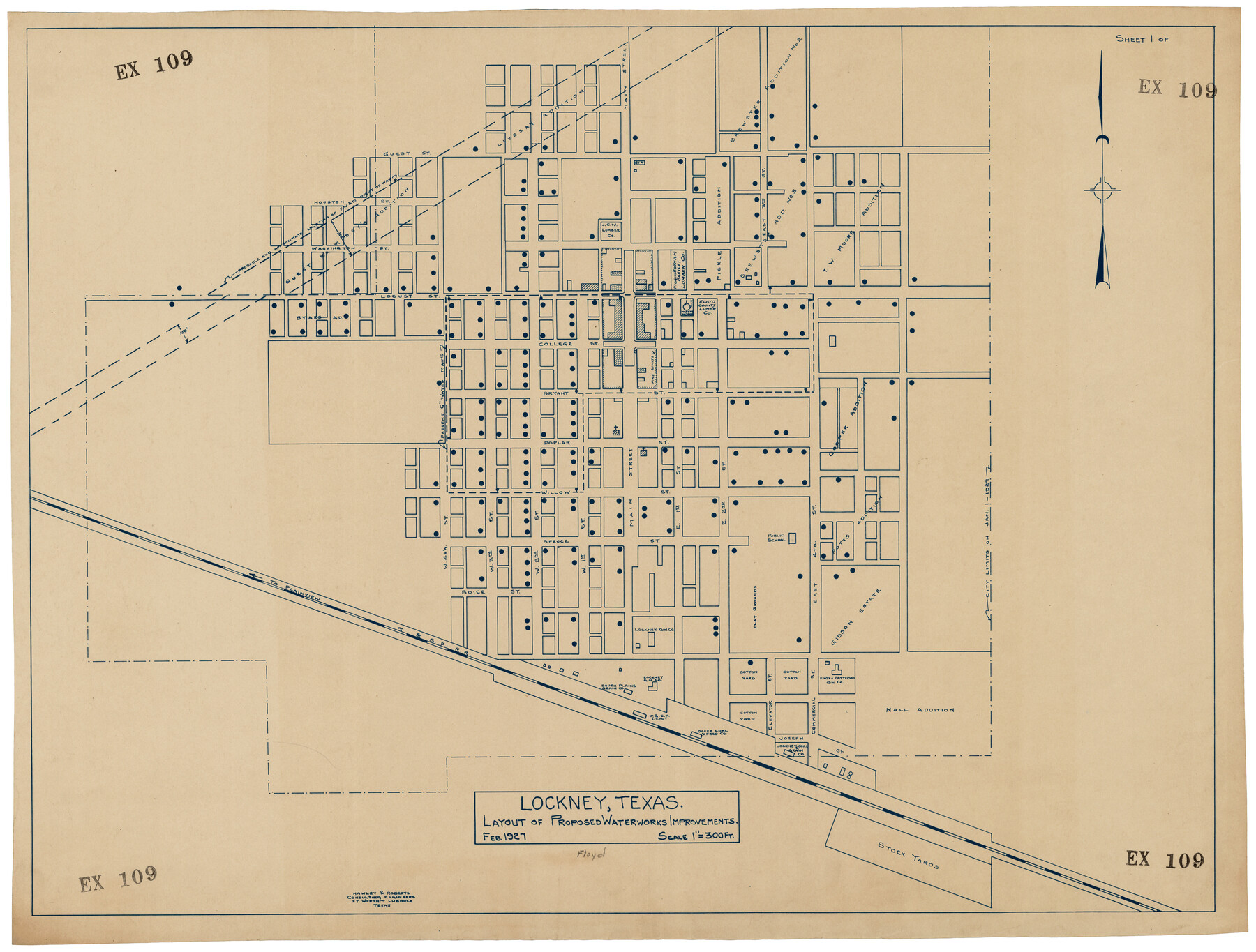
Lockney, Texas. Layout of Proposed Waterworks Improvements
EX109
-
Map/Doc
92643
-
Collection
Twichell Survey Records
-
Object Dates
2/1927 (Creation Date)
-
Counties
Floyd
-
Height x Width
30.8 x 23.4 inches
78.2 x 59.4 cm
Part of: Twichell Survey Records
[Sketch of area in dispute between Archibald Smith and Cyrena McReara Surveys]
![91923, [Sketch of area in dispute between Archibald Smith and Cyrena McReara Surveys], Twichell Survey Records](https://historictexasmaps.com/wmedia_w700/maps/91923-1.tif.jpg)
Print $20.00
- Digital $50.00
[Sketch of area in dispute between Archibald Smith and Cyrena McReara Surveys]
Size 27.8 x 31.9 inches
Map/Doc 91923
Laneer vs. Bivins, Potter County, Texas

Print $20.00
- Digital $50.00
Laneer vs. Bivins, Potter County, Texas
Size 21.1 x 18.7 inches
Map/Doc 93098
Working Sketch Cochran and Yoakum Co's.

Print $40.00
- Digital $50.00
Working Sketch Cochran and Yoakum Co's.
1919
Size 54.5 x 16.4 inches
Map/Doc 89676
[North Central Part of County]
![90812, [North Central Part of County], Twichell Survey Records](https://historictexasmaps.com/wmedia_w700/maps/90812-2.tif.jpg)
Print $20.00
- Digital $50.00
[North Central Part of County]
1902
Size 21.0 x 28.3 inches
Map/Doc 90812
Working Sketch in Archer County

Print $20.00
- Digital $50.00
Working Sketch in Archer County
1921
Size 15.9 x 19.8 inches
Map/Doc 90169
[T. & N. O. Blks. 9T and 10T and surrounding areas]
![90413, [T. & N. O. Blks. 9T and 10T and surrounding areas], Twichell Survey Records](https://historictexasmaps.com/wmedia_w700/maps/90413-1.tif.jpg)
Print $20.00
- Digital $50.00
[T. & N. O. Blks. 9T and 10T and surrounding areas]
Size 14.6 x 21.0 inches
Map/Doc 90413
[Area between H. & T. C. Block 34, PSL Block B19 and University Lands Block 16]
![91957, [Area between H. & T. C. Block 34, PSL Block B19 and University Lands Block 16], Twichell Survey Records](https://historictexasmaps.com/wmedia_w700/maps/91957-1.tif.jpg)
Print $20.00
- Digital $50.00
[Area between H. & T. C. Block 34, PSL Block B19 and University Lands Block 16]
1929
Size 40.4 x 29.3 inches
Map/Doc 91957
Laneer vs. Bivins, Potter County, Texas

Print $20.00
- Digital $50.00
Laneer vs. Bivins, Potter County, Texas
Size 21.1 x 18.8 inches
Map/Doc 93062
Map of Wolters Addition to Big Lake Reagan County, Texas Showing the Original Townsite of Big Lake and Japson's Addition

Print $40.00
- Digital $50.00
Map of Wolters Addition to Big Lake Reagan County, Texas Showing the Original Townsite of Big Lake and Japson's Addition
1948
Size 42.4 x 49.6 inches
Map/Doc 89712
Plat of Green Valley Ranch

Print $20.00
- Digital $50.00
Plat of Green Valley Ranch
Size 14.4 x 23.2 inches
Map/Doc 92909
[Sketch of part of G. & M. Block 5]
![93096, [Sketch of part of G. & M. Block 5], Twichell Survey Records](https://historictexasmaps.com/wmedia_w700/maps/93096-1.tif.jpg)
Print $2.00
- Digital $50.00
[Sketch of part of G. & M. Block 5]
Size 8.1 x 9.3 inches
Map/Doc 93096
Map and Field Notes of D. & N. T. RR. Through E. L. Ellwood's Pasture

Print $20.00
- Digital $50.00
Map and Field Notes of D. & N. T. RR. Through E. L. Ellwood's Pasture
1912
Size 39.5 x 12.1 inches
Map/Doc 91003
You may also like
Drainage Basins of Texas Streams

Print $20.00
- Digital $50.00
Drainage Basins of Texas Streams
Size 17.0 x 19.3 inches
Map/Doc 65269
Terrell County Rolled Sketch 51A

Print $20.00
- Digital $50.00
Terrell County Rolled Sketch 51A
1957
Size 29.1 x 20.6 inches
Map/Doc 7968
Cherokee County Sketch File 26

Print $4.00
- Digital $50.00
Cherokee County Sketch File 26
1852
Size 8.1 x 8.2 inches
Map/Doc 18169
Polk County Sketch File 12a

Print $4.00
- Digital $50.00
Polk County Sketch File 12a
Size 6.1 x 6.4 inches
Map/Doc 34148
Trinity River, Clear Lake Sheet/East Fork of Trinity River and Pilot Grove Creek

Print $6.00
- Digital $50.00
Trinity River, Clear Lake Sheet/East Fork of Trinity River and Pilot Grove Creek
1923
Size 33.0 x 31.1 inches
Map/Doc 65194
Williamson County Rolled Sketch 6

Print $20.00
- Digital $50.00
Williamson County Rolled Sketch 6
1941
Size 26.0 x 18.9 inches
Map/Doc 8264
McMullen County Rolled Sketch 21

Print $40.00
- Digital $50.00
McMullen County Rolled Sketch 21
Size 68.9 x 40.0 inches
Map/Doc 9502
Hemphill County Working Sketch 38

Print $20.00
- Digital $50.00
Hemphill County Working Sketch 38
1982
Size 29.9 x 27.8 inches
Map/Doc 66133
[Section 2, Block 5, Dawson County, Texas]
![92617, [Section 2, Block 5, Dawson County, Texas], Twichell Survey Records](https://historictexasmaps.com/wmedia_w700/maps/92617-1.tif.jpg)
Print $2.00
- Digital $50.00
[Section 2, Block 5, Dawson County, Texas]
Size 9.2 x 12.3 inches
Map/Doc 92617
Jackson County

Print $20.00
- Digital $50.00
Jackson County
1840
Size 33.5 x 26.7 inches
Map/Doc 4505
Austin County Rolled Sketch 5A

Print $40.00
- Digital $50.00
Austin County Rolled Sketch 5A
Size 54.2 x 44.1 inches
Map/Doc 8437
Reagan County Working Sketch 5

Print $20.00
- Digital $50.00
Reagan County Working Sketch 5
1924
Size 19.2 x 19.5 inches
Map/Doc 71845