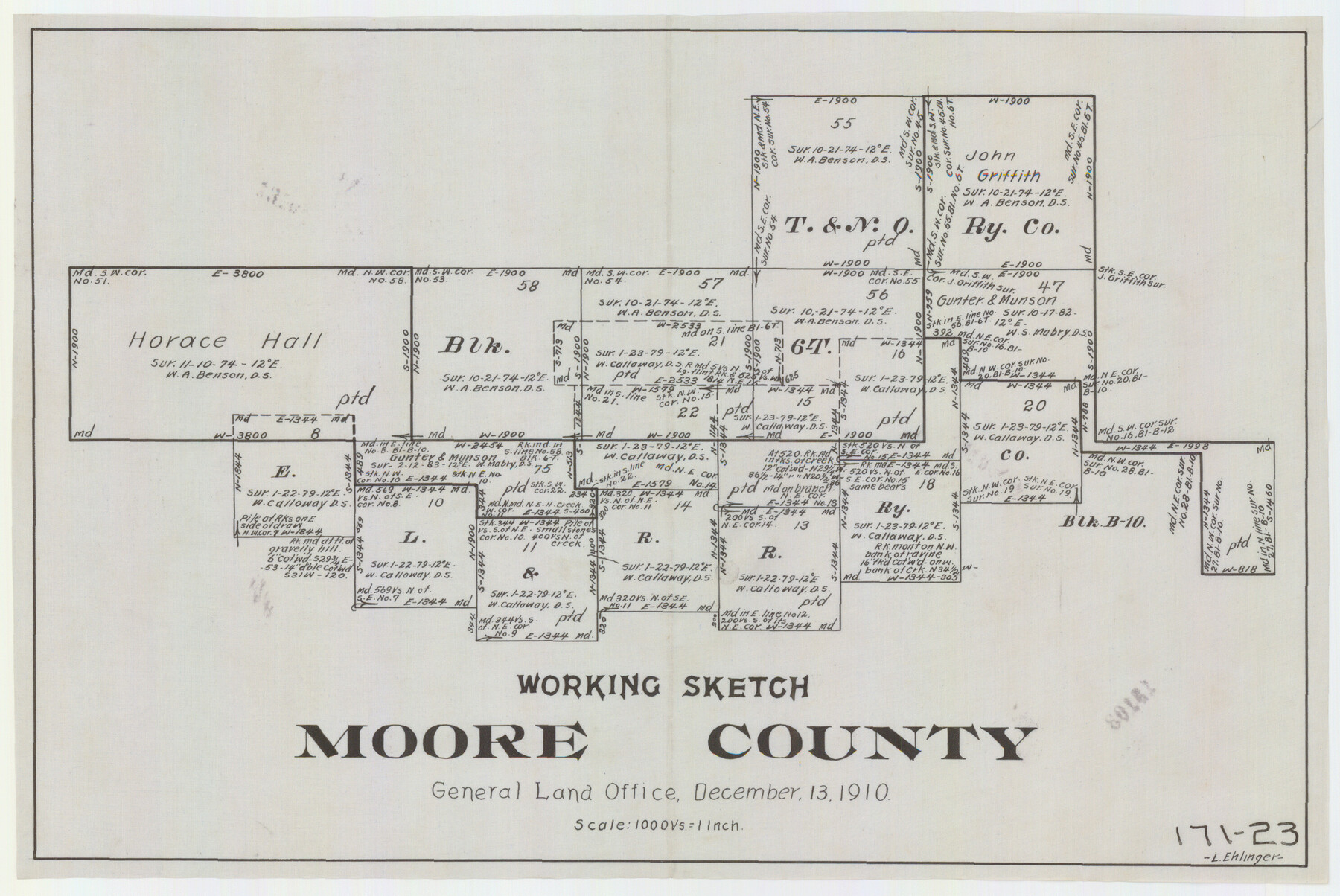
Working Sketch in Moore County
171-23
-
Map/Doc
91537
-
Collection
Twichell Survey Records
-
Object Dates
12/13/1910 (Creation Date)
-
Counties
Moore
-
Height x Width
15.0 x 10.0 inches
38.1 x 25.4 cm
Part of: Twichell Survey Records
Section J Tech Memorial Park, Inc. Infants Garden

Print $2.00
- Digital $50.00
Section J Tech Memorial Park, Inc. Infants Garden
1949
Size 8.8 x 13.0 inches
Map/Doc 92352
[Block B5, Capitol Leagues 217, 218, and 239]
![91438, [Block B5, Capitol Leagues 217, 218, and 239], Twichell Survey Records](https://historictexasmaps.com/wmedia_w700/maps/91438-1.tif.jpg)
Print $3.00
- Digital $50.00
[Block B5, Capitol Leagues 217, 218, and 239]
Size 15.1 x 10.0 inches
Map/Doc 91438
Yoakum-Terry County Sketch

Print $20.00
- Digital $50.00
Yoakum-Terry County Sketch
Size 9.6 x 27.5 inches
Map/Doc 92932
Ownership Map of Val Verde County

Print $20.00
- Digital $50.00
Ownership Map of Val Verde County
1927
Size 32.7 x 36.9 inches
Map/Doc 92847
Map [showing surveys 820-829] Along Red River
![89813, Map [showing surveys 820-829] Along Red River, Twichell Survey Records](https://historictexasmaps.com/wmedia_w700/maps/89813-1.tif.jpg)
Print $20.00
- Digital $50.00
Map [showing surveys 820-829] Along Red River
1920
Size 40.4 x 45.2 inches
Map/Doc 89813
[Area north of League 1, Morris County School Land]
![90354, [Area north of League 1, Morris County School Land], Twichell Survey Records](https://historictexasmaps.com/wmedia_w700/maps/90354-1.tif.jpg)
Print $3.00
- Digital $50.00
[Area north of League 1, Morris County School Land]
1912
Size 11.4 x 9.6 inches
Map/Doc 90354
[Sketch showing Blocks A, S4, O6, JK, O5, O2, O, JK4, JD, A2, A1]
![89713, [Sketch showing Blocks A, S4, O6, JK, O5, O2, O, JK4, JD, A2, A1], Twichell Survey Records](https://historictexasmaps.com/wmedia_w700/maps/89713-1.tif.jpg)
Print $40.00
- Digital $50.00
[Sketch showing Blocks A, S4, O6, JK, O5, O2, O, JK4, JD, A2, A1]
Size 48.9 x 37.6 inches
Map/Doc 89713
Culberson County Sketch [showing PSL Blocks 109-111, 113-115 and University Block 46]
![90500, Culberson County Sketch [showing PSL Blocks 109-111, 113-115 and University Block 46], Twichell Survey Records](https://historictexasmaps.com/wmedia_w700/maps/90500-1.tif.jpg)
Print $20.00
- Digital $50.00
Culberson County Sketch [showing PSL Blocks 109-111, 113-115 and University Block 46]
Size 25.8 x 12.7 inches
Map/Doc 90500
![91783, [Block M-19], Twichell Survey Records](https://historictexasmaps.com/wmedia_w700/maps/91783-1.tif.jpg)
Ownership Map NE 1/4 Lubbock County

Print $20.00
- Digital $50.00
Ownership Map NE 1/4 Lubbock County
Size 37.5 x 39.8 inches
Map/Doc 89896
Map of the Fort Worth and Denver City RR., Oldham Co, Texas

Print $40.00
- Digital $50.00
Map of the Fort Worth and Denver City RR., Oldham Co, Texas
1899
Size 117.7 x 20.6 inches
Map/Doc 93183
Revised Map of Pep Located on Labor 11, League 699 Texas State Capitol Lands Hockley County, Texas

Print $20.00
- Digital $50.00
Revised Map of Pep Located on Labor 11, League 699 Texas State Capitol Lands Hockley County, Texas
1927
Size 16.9 x 15.7 inches
Map/Doc 92204
You may also like
Maverick County Sketch File 23

Print $7.00
- Digital $50.00
Maverick County Sketch File 23
Size 9.1 x 8.5 inches
Map/Doc 31142
Flight Mission No. BRE-2P, Frame 81, Nueces County

Print $20.00
- Digital $50.00
Flight Mission No. BRE-2P, Frame 81, Nueces County
1956
Size 18.6 x 22.5 inches
Map/Doc 86776
McMullen County

Print $40.00
- Digital $50.00
McMullen County
1918
Size 49.5 x 35.9 inches
Map/Doc 10788
Crosby County Sketch File 15

Print $20.00
- Digital $50.00
Crosby County Sketch File 15
1903
Size 28.7 x 20.4 inches
Map/Doc 11250

Kimble County Working Sketch 76

Print $20.00
- Digital $50.00
Kimble County Working Sketch 76
1969
Size 27.7 x 41.0 inches
Map/Doc 70144
Rusk County Sketch File 25

Print $20.00
Rusk County Sketch File 25
1932
Size 20.5 x 20.3 inches
Map/Doc 12272
Gregg County Working Sketch 8

Print $20.00
- Digital $50.00
Gregg County Working Sketch 8
1936
Size 26.0 x 23.3 inches
Map/Doc 63274
Victoria County Rolled Sketch 2

Print $40.00
- Digital $50.00
Victoria County Rolled Sketch 2
1940
Size 61.1 x 18.5 inches
Map/Doc 10093
Wise County Working Sketch 21

Print $20.00
- Digital $50.00
Wise County Working Sketch 21
1980
Size 25.9 x 32.4 inches
Map/Doc 72635
Die Eisenbahm von dem Missisippi nach dem stillen Ocean (Californien)

Print $20.00
- Digital $50.00
Die Eisenbahm von dem Missisippi nach dem stillen Ocean (Californien)
1856
Size 14.0 x 14.8 inches
Map/Doc 94075
Andrews County Rolled Sketch 24

Print $20.00
- Digital $50.00
Andrews County Rolled Sketch 24
1946
Size 43.0 x 35.8 inches
Map/Doc 8397