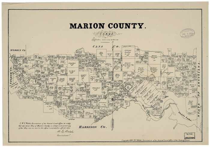
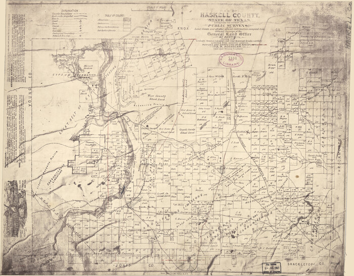
San Saba Co[unty]
-
Map/Doc
88994
-
Collection
Library of Congress
-
Object Dates
1879 (Creation Date)
-
People and Organizations
W.C. Walsh (GLO Commissioner)
August Gast & Co. (Lithographer)
-
Counties
San Saba
-
Subjects
County
-
Height x Width
21.0 x 23.4 inches
53.3 x 59.4 cm
-
Comments
For more information see here. Prints available from the GLO courtesy of Library of Congress, Geography and Map Division.
Part of: Library of Congress
Map of the city of San Antonio, Bexar County, Texas including suburbs both north and south


Print $20.00
Map of the city of San Antonio, Bexar County, Texas including suburbs both north and south
1924
Size 37.0 x 24.5 inches
Map/Doc 93556
Map of Caldwell County, Texas


Print $20.00
Map of Caldwell County, Texas
1880
Size 18.7 x 22.0 inches
Map/Doc 88915
Map of Texas With Parts of the Adjoining States


Print $20.00
Map of Texas With Parts of the Adjoining States
1839
Size 35.4 x 25.8 inches
Map/Doc 88995
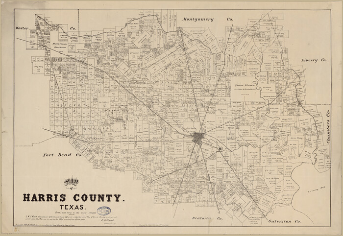
Map of Harris County, Texas

Print $20.00
Map of Harris County, Texas
1879
Size 24.8 x 36.0 inches
Map/Doc 88948
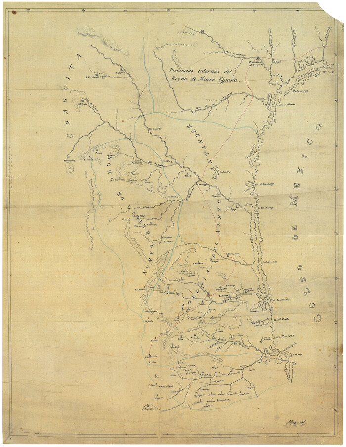
Provincias internas del Reyno de Nuevo España

Print $20.00
Provincias internas del Reyno de Nuevo España
1790
Size 31.0 x 24.0 inches
Map/Doc 95313
Map of the Mexican National Railway showing the lines granted by the Mexican Government to the Mexican National Construction Company (Palmer-Sullivan Concession)


Print $20.00
Map of the Mexican National Railway showing the lines granted by the Mexican Government to the Mexican National Construction Company (Palmer-Sullivan Concession)
1881
Size 26.8 x 40.6 inches
Map/Doc 95315
Mapa que comprende la Frontera de los Dominios del Rey, en la America Septentrional, segun el original que hizo D. Joseph de Urrutia, sobre varios puntos observados por él, y el Capitan de Yngenieros D. Nicolas Lafora


Print $40.00
Mapa que comprende la Frontera de los Dominios del Rey, en la America Septentrional, segun el original que hizo D. Joseph de Urrutia, sobre varios puntos observados por él, y el Capitan de Yngenieros D. Nicolas Lafora
1769
Size 50.9 x 128.2 inches
Map/Doc 95711
Map of the Military Department of the Gulf
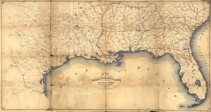

Print $20.00
Map of the Military Department of the Gulf
1864
Size 24.4 x 45.7 inches
Map/Doc 93568
You may also like
Reagan County Rolled Sketch 1
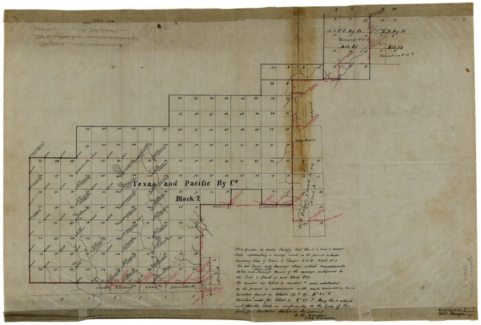

Print $20.00
- Digital $50.00
Reagan County Rolled Sketch 1
Size 20.1 x 29.5 inches
Map/Doc 7432
Flight Mission No. BRA-9M, Frame 65, Jefferson County


Print $20.00
- Digital $50.00
Flight Mission No. BRA-9M, Frame 65, Jefferson County
1953
Size 18.6 x 22.2 inches
Map/Doc 85648
Flight Mission No. CRK-3P, Frame 126, Refugio County


Print $20.00
- Digital $50.00
Flight Mission No. CRK-3P, Frame 126, Refugio County
1956
Size 18.6 x 22.4 inches
Map/Doc 86914
General Highway Map, Coleman County, Texas
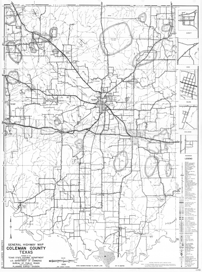

Print $20.00
General Highway Map, Coleman County, Texas
1961
Size 24.6 x 18.3 inches
Map/Doc 79412
Flight Mission No. BQR-13K, Frame 21, Brazoria County
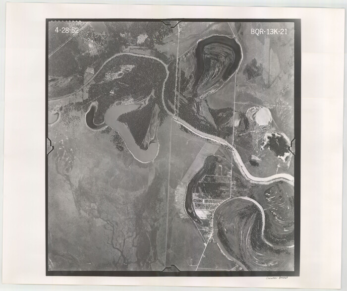

Print $20.00
- Digital $50.00
Flight Mission No. BQR-13K, Frame 21, Brazoria County
1952
Size 18.8 x 22.4 inches
Map/Doc 84069
[Atlas A, Table of Contents, part 1]
![78351, [Atlas A, Table of Contents, part 1], General Map Collection](https://historictexasmaps.com/wmedia_w700/maps/78351.tif.jpg)
![78351, [Atlas A, Table of Contents, part 1], General Map Collection](https://historictexasmaps.com/wmedia_w700/maps/78351.tif.jpg)
Print $20.00
- Digital $50.00
[Atlas A, Table of Contents, part 1]
Size 14.5 x 15.0 inches
Map/Doc 78351
Map of Hardin County, Texas
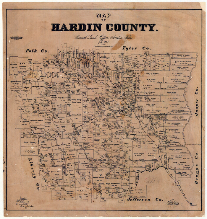

Print $20.00
- Digital $50.00
Map of Hardin County, Texas
1895
Size 22.1 x 20.9 inches
Map/Doc 499
Morris County Rolled Sketch 2A


Print $20.00
- Digital $50.00
Morris County Rolled Sketch 2A
Size 24.0 x 18.8 inches
Map/Doc 10228
[Nueces Bay, Mustang Island and Padre Island]
![73465, [Nueces Bay, Mustang Island and Padre Island], General Map Collection](https://historictexasmaps.com/wmedia_w700/maps/73465.tif.jpg)
![73465, [Nueces Bay, Mustang Island and Padre Island], General Map Collection](https://historictexasmaps.com/wmedia_w700/maps/73465.tif.jpg)
Print $4.00
- Digital $50.00
[Nueces Bay, Mustang Island and Padre Island]
Size 18.1 x 24.7 inches
Map/Doc 73465
Lipscomb County Working Sketch 5
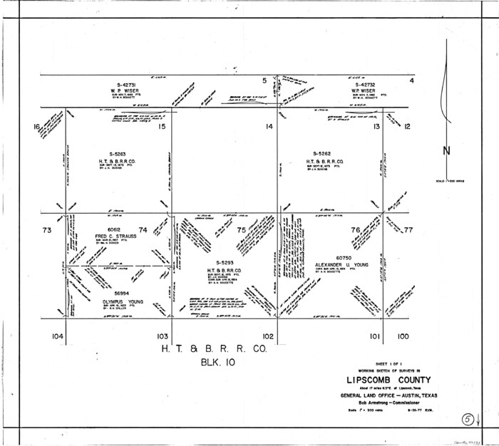

Print $20.00
- Digital $50.00
Lipscomb County Working Sketch 5
1977
Size 26.8 x 30.0 inches
Map/Doc 70581
Kerr County Working Sketch 15
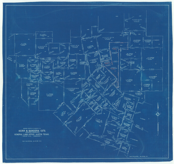

Print $20.00
- Digital $50.00
Kerr County Working Sketch 15
1953
Size 36.2 x 38.6 inches
Map/Doc 70046
Matagorda County Sketch File 21
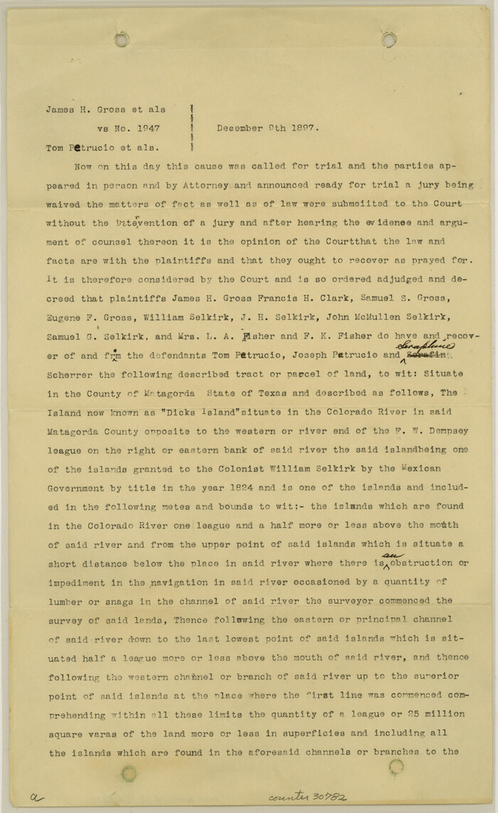

Print $6.00
- Digital $50.00
Matagorda County Sketch File 21
1897
Size 14.2 x 8.7 inches
Map/Doc 30782
![88994, San Saba Co[unty], Library of Congress](https://historictexasmaps.com/wmedia_w1800h1800/maps/88994-1.tif.jpg)
![88910, Bosque Co[unty], Library of Congress](https://historictexasmaps.com/wmedia_w700/maps/88910.tif.jpg)
