195 results

New Map of Texas with the Contiguous American and Mexican States
88894.tif
Print $20.00

New Map of Texas with the Contiguous American and Mexican States

1835

Size: 13.3 x 15.9 inches
88894
Map of the River Sabine from its Mouth on the Gulf of Mexico in the Sea to Logan's Ferry in Latitude 31°58'24" north
88901.tif
Print $40.00

Map of the River Sabine from its Mouth on the Gulf of Mexico in the Sea to Logan's Ferry in Latitude 31°58'24" north

1840

Size: 35.0 x 170.0 inches
88901
Map of the River Sabine from Logan's Ferry to 32nd Degree of North Latitude
88902.tif
Print $20.00

Map of the River Sabine from Logan's Ferry to 32nd Degree of North Latitude

1841

Size: 21.4 x 27.8 inches
88902
J. De Cordova's Map of the State of Texas Compiled from the records of the General Land Office of the State
88903.tif
Print $20.00

J. De Cordova's Map of the State of Texas Compiled from the records of the General Land Office of the State

1853

Size: 35.0 x 35.0 inches
88903
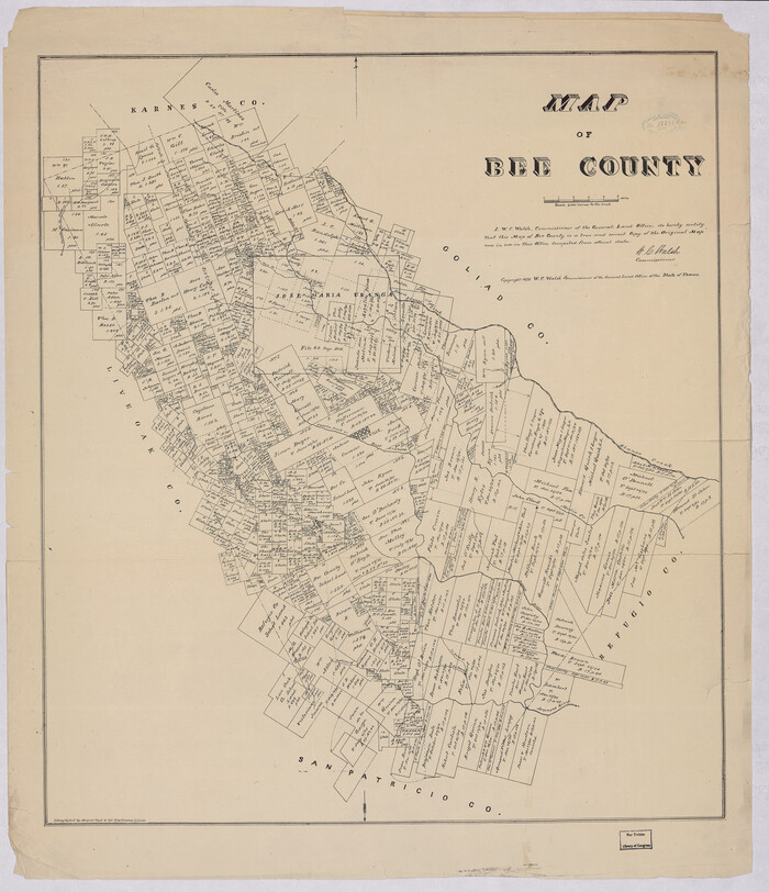
Map of Bee County
88904.tif
Print $20.00

Map of Bee County

1879

Size: 28.7 x 24.7 inches
88904
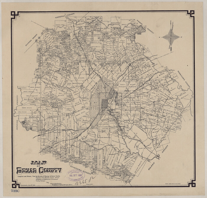
Map of Bexar County
88905.tif
Print $20.00

Map of Bexar County

1887

Size: 12.2 x 12.7 inches
88905
Map of Bexar County Showing Subdivisions of Original Surveys and Names of Present Owners
88908.tif
Print $20.00

Map of Bexar County Showing Subdivisions of Original Surveys and Names of Present Owners

1897

Size: 46.2 x 41.3 inches
88908
Borden County
88909.tif
Print $20.00

Borden County

1892

Size: 24.5 x 19.4 inches
88909
Bosque Co[unty]
88910.tif
Print $20.00

Bosque Co[unty]

1879

Size: 24.7 x 29.3 inches
88910
Bowie County
88911.tif
Print $20.00

Bowie County

1894

Size: 17.5 x 22.4 inches
88911
Brazoria County
88912-1.tif
Print $20.00

Brazoria County

1877

Size: 23.2 x 21.5 inches
88912
Map of Brown Co[unty]
88913.tif
Print $20.00

Map of Brown Co[unty]

1876

Size: 27.5 x 21.9 inches
88913
Map of Caldwell County, Texas
88914.tif
Print $20.00

Map of Caldwell County, Texas

1879

Size: 17.4 x 21.5 inches
88914
Map of Caldwell County, Texas
88915.tif
Print $20.00

Map of Caldwell County, Texas

1880

Size: 18.7 x 22.0 inches
88915
Map of Callahan Co[unty]
88916.tif
Print $20.00

Map of Callahan Co[unty]

1879

Size: 24.7 x 18.5 inches
88916
Map of Clay County
88917.tif
Print $20.00

Map of Clay County

1880

Size: 30.6 x 18.4 inches
88917
Collingsworth County
88918.tif
Print $20.00

Collingsworth County

1892

Size: 24.5 x 19.4 inches
88918
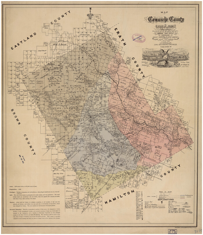
Map of Comanche County
88919.tif
Print $20.00

Map of Comanche County

1876

Size: 28.0 x 24.1 inches
88919
Butt's Map of Cooke County, Texas
88920.tif
Print $20.00

Butt's Map of Cooke County, Texas

1888

Size: 17.5 x 14.5 inches
88920
Crosby County
88921.tif
Print $20.00

Crosby County

1892

Size: 24.6 x 19.6 inches
88921
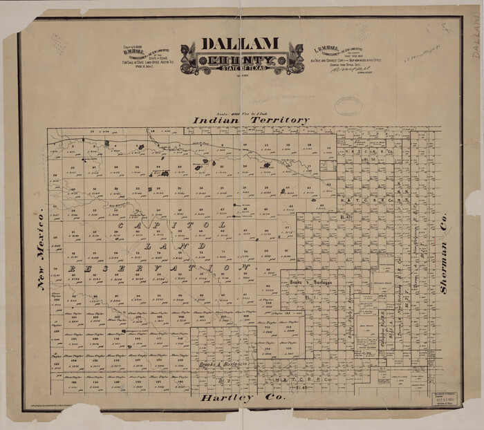
Dallam County
88922.tif
Print $20.00

Dallam County

1888

Size: 25.1 x 28.2 inches
88922
Dawson County
88923.tif
Print $20.00

Dawson County

1892

Size: 24.4 x 19.5 inches
88923
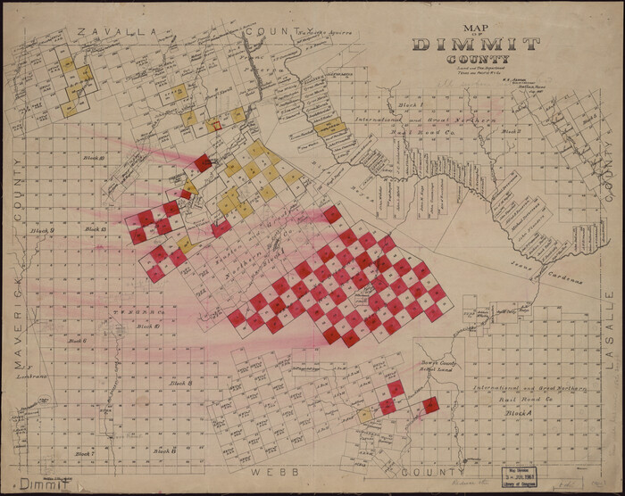
Map of Dimmit County
88924.tif
Print $20.00

Map of Dimmit County

1897

Size: 17.3 x 21.8 inches
88924
Map of Duval Co[unty]
88925.tif
Print $20.00

Map of Duval Co[unty]

1880

Size: 31.3 x 21.9 inches
88925
Map of Portions of Eastland, Brown and Comanche Counties
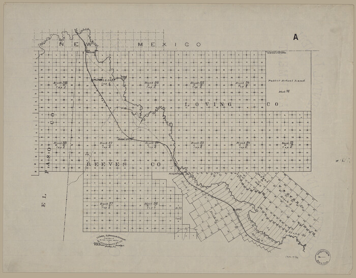
88926.tif
Print $20.00

Map of Portions of Eastland, Brown and Comanche Counties

Size: 21.7 x 16.7 inches
88926
Map of Eastland Co[unty]
88929.tif
Print $20.00

Map of Eastland Co[unty]

1896

Size: 45.0 x 42.8 inches
88929
[Map showing T&P Lands in El Paso County]
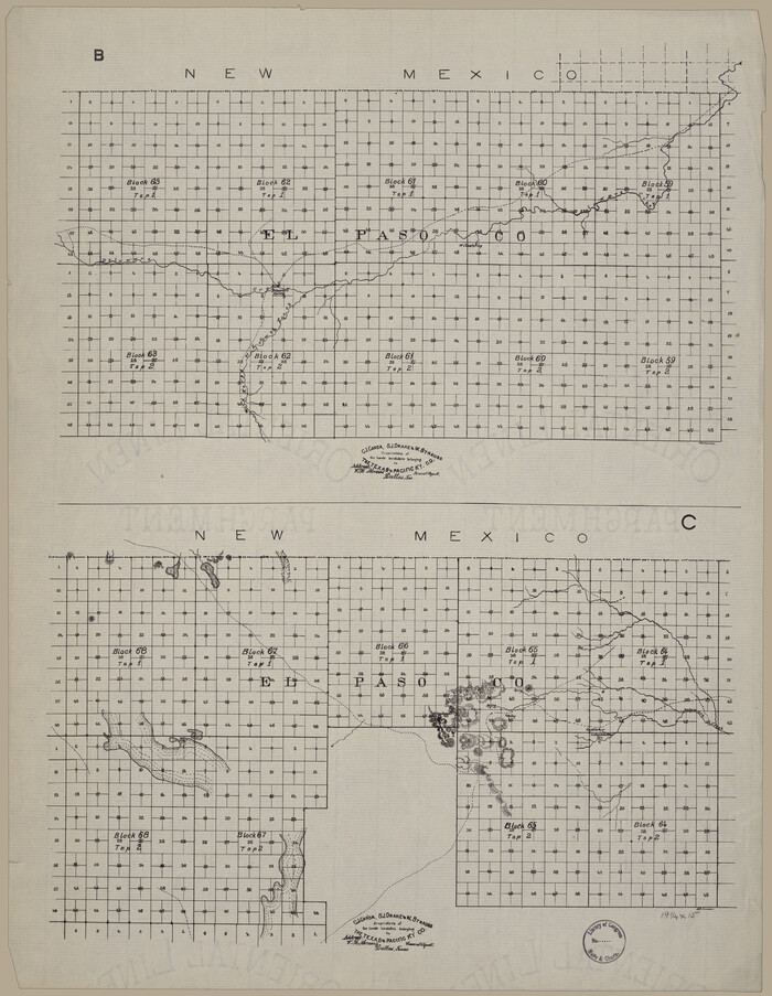
88930.tif
Print $20.00

[Map showing T&P Lands in El Paso County]
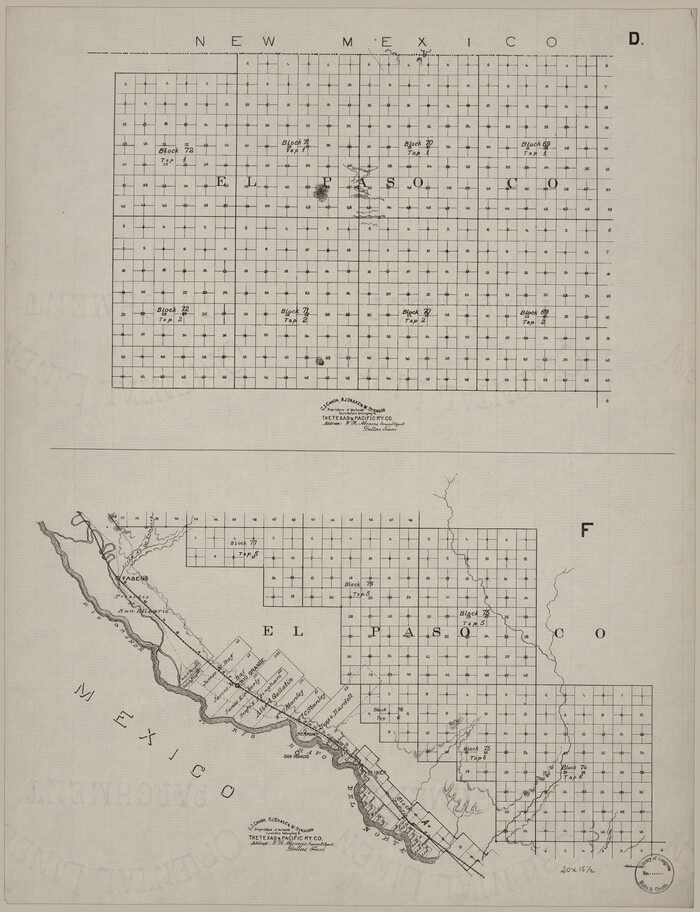
Size: 17.5 x 22.3 inches
88930
[Map showing T&P Lands in El Paso County]
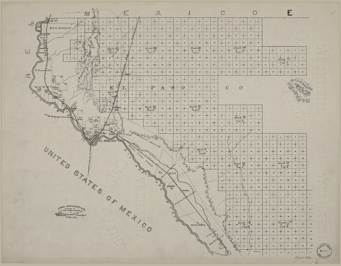
88931.tif
Print $20.00

[Map showing T&P Lands in El Paso County]

Size: 22.4 x 17.3 inches
88931
[Map showing T&P Lands in El Paso County]
88932.tif
Print $20.00

[Map showing T&P Lands in El Paso County]

Size: 22.2 x 17.1 inches
88932
[Map showing T&P Lands in El Paso County]
88933.tif
Print $20.00

[Map showing T&P Lands in El Paso County]

Size: 17.2 x 22.1 inches
88933
New Map of Texas with the Contiguous American and Mexican States
88894, New Map of Texas with the Contiguous American and Mexican States, Library of Congress
Print $20.00

New Map of Texas with the Contiguous American and Mexican States

1835

  • Size

    13.3 x 15.9 inches

  • Map/Doc

    88894

  • Creation Date

    1835

Map of the River Sabine from its Mouth on the Gulf of Mexico in the Sea to Logan's Ferry in Latitude 31°58'24" north
88901, Map of the River Sabine from its Mouth on the Gulf of Mexico in the Sea to Logan's Ferry in Latitude 31°58'24" north, Library of Congress
Print $40.00

Map of the River Sabine from its Mouth on the Gulf of Mexico in the Sea to Logan's Ferry in Latitude 31°58'24" north

1840

  • Size

    35.0 x 170.0 inches

  • Map/Doc

    88901

  • Creation Date

    1840

Map of the River Sabine from Logan's Ferry to 32nd Degree of North Latitude
88902, Map of the River Sabine from Logan's Ferry to 32nd Degree of North Latitude, Library of Congress
Print $20.00

Map of the River Sabine from Logan's Ferry to 32nd Degree of North Latitude

1841

  • Size

    21.4 x 27.8 inches

  • Map/Doc

    88902

  • Creation Date

    1841

J. De Cordova's Map of the State of Texas Compiled from the records of the General Land Office of the State
88903, J. De Cordova's Map of the State of Texas Compiled from the records of the General Land Office of the State, Library of Congress
Print $20.00

J. De Cordova's Map of the State of Texas Compiled from the records of the General Land Office of the State

1853

  • Size

    35.0 x 35.0 inches

  • Map/Doc

    88903

  • Creation Date

    1853

Map of Bee County
88904, Map of Bee County, Library of Congress
Print $20.00

Map of Bee County

1879

  • Size

    28.7 x 24.7 inches

  • Map/Doc

    88904

  • Creation Date

    1879

Map of Bexar County
88905, Map of Bexar County, Library of Congress
Print $20.00

Map of Bexar County

1887

  • Size

    12.2 x 12.7 inches

  • Map/Doc

    88905

  • Creation Date

    1887

Map of Bexar County Showing Subdivisions of Original Surveys and Names of Present Owners
88908, Map of Bexar County Showing Subdivisions of Original Surveys and Names of Present Owners, Library of Congress
Print $20.00

Map of Bexar County Showing Subdivisions of Original Surveys and Names of Present Owners

1897

  • Size

    46.2 x 41.3 inches

  • Map/Doc

    88908

  • Creation Date

    1897

Borden County
88909, Borden County, Library of Congress
Print $20.00

Borden County

1892

  • Size

    24.5 x 19.4 inches

  • Map/Doc

    88909

  • Creation Date

    1892

Bosque Co[unty]
88910, Bosque Co[unty], Library of Congress
Print $20.00

Bosque Co[unty]

1879

  • Size

    24.7 x 29.3 inches

  • Map/Doc

    88910

  • Creation Date

    1879

Bowie County
88911, Bowie County, Library of Congress
Print $20.00

Bowie County

1894

  • Size

    17.5 x 22.4 inches

  • Map/Doc

    88911

  • Creation Date

    1894

Brazoria County
88912, Brazoria County, Library of Congress
Print $20.00

Brazoria County

1877

  • Size

    23.2 x 21.5 inches

  • Map/Doc

    88912

  • Creation Date

    1877

Map of Brown Co[unty]
88913, Map of Brown Co[unty], Library of Congress
Print $20.00

Map of Brown Co[unty]

1876

  • Size

    27.5 x 21.9 inches

  • Map/Doc

    88913

  • Creation Date

    1876

Map of Caldwell County, Texas
88914, Map of Caldwell County, Texas, Library of Congress
Print $20.00

Map of Caldwell County, Texas

1879

  • Size

    17.4 x 21.5 inches

  • Map/Doc

    88914

  • Creation Date

    1879

Map of Caldwell County, Texas
88915, Map of Caldwell County, Texas, Library of Congress
Print $20.00

Map of Caldwell County, Texas

1880

  • Size

    18.7 x 22.0 inches

  • Map/Doc

    88915

  • Creation Date

    1880

Map of Callahan Co[unty]
88916, Map of Callahan Co[unty], Library of Congress
Print $20.00

Map of Callahan Co[unty]

1879

  • Size

    24.7 x 18.5 inches

  • Map/Doc

    88916

  • Creation Date

    1879

Map of Clay County
88917, Map of Clay County, Library of Congress
Print $20.00

Map of Clay County

1880

  • Size

    30.6 x 18.4 inches

  • Map/Doc

    88917

  • Creation Date

    1880

Collingsworth County
88918, Collingsworth County, Library of Congress
Print $20.00

Collingsworth County

1892

  • Size

    24.5 x 19.4 inches

  • Map/Doc

    88918

  • Creation Date

    1892

Map of Comanche County
88919, Map of Comanche County, Library of Congress
Print $20.00

Map of Comanche County

1876

  • Size

    28.0 x 24.1 inches

  • Map/Doc

    88919

  • Creation Date

    1876

Butt's Map of Cooke County, Texas
88920, Butt's Map of Cooke County, Texas, Library of Congress
Print $20.00

Butt's Map of Cooke County, Texas

1888

  • Size

    17.5 x 14.5 inches

  • Map/Doc

    88920

  • Creation Date

    1888

Crosby County
88921, Crosby County, Library of Congress
Print $20.00

Crosby County

1892

  • Size

    24.6 x 19.6 inches

  • Map/Doc

    88921

  • Creation Date

    1892

Dallam County
88922, Dallam County, Library of Congress
Print $20.00

Dallam County

1888

  • Size

    25.1 x 28.2 inches

  • Map/Doc

    88922

  • Creation Date

    1888

Dawson County
88923, Dawson County, Library of Congress
Print $20.00

Dawson County

1892

  • Size

    24.4 x 19.5 inches

  • Map/Doc

    88923

  • Creation Date

    1892

Map of Dimmit County
88924, Map of Dimmit County, Library of Congress
Print $20.00

Map of Dimmit County

1897

  • Size

    17.3 x 21.8 inches

  • Map/Doc

    88924

  • Creation Date

    1897

Map of Duval Co[unty]
88925, Map of Duval Co[unty], Library of Congress
Print $20.00

Map of Duval Co[unty]

1880

  • Size

    31.3 x 21.9 inches

  • Map/Doc

    88925

  • Creation Date

    1880

Map of Portions of Eastland, Brown and Comanche Counties
88926, Map of Portions of Eastland, Brown and Comanche Counties, Library of Congress
Print $20.00

Map of Portions of Eastland, Brown and Comanche Counties

  • Size

    21.7 x 16.7 inches

  • Map/Doc

    88926

Map of Eastland Co[unty]
88929, Map of Eastland Co[unty], Library of Congress
Print $20.00

Map of Eastland Co[unty]

1896

  • Size

    45.0 x 42.8 inches

  • Map/Doc

    88929

  • Creation Date

    1896

[Map showing T&P Lands in El Paso County]
88930, [Map showing T&P Lands in El Paso County], Library of Congress
Print $20.00

[Map showing T&P Lands in El Paso County]

  • Size

    17.5 x 22.3 inches

  • Map/Doc

    88930

[Map showing T&P Lands in El Paso County]
88931, [Map showing T&P Lands in El Paso County], Library of Congress
Print $20.00

[Map showing T&P Lands in El Paso County]

  • Size

    22.4 x 17.3 inches

  • Map/Doc

    88931

[Map showing T&P Lands in El Paso County]
88932, [Map showing T&P Lands in El Paso County], Library of Congress
Print $20.00

[Map showing T&P Lands in El Paso County]

  • Size

    22.2 x 17.1 inches

  • Map/Doc

    88932

[Map showing T&P Lands in El Paso County]
88933, [Map showing T&P Lands in El Paso County], Library of Congress
Print $20.00

[Map showing T&P Lands in El Paso County]

  • Size

    17.2 x 22.1 inches

  • Map/Doc

    88933