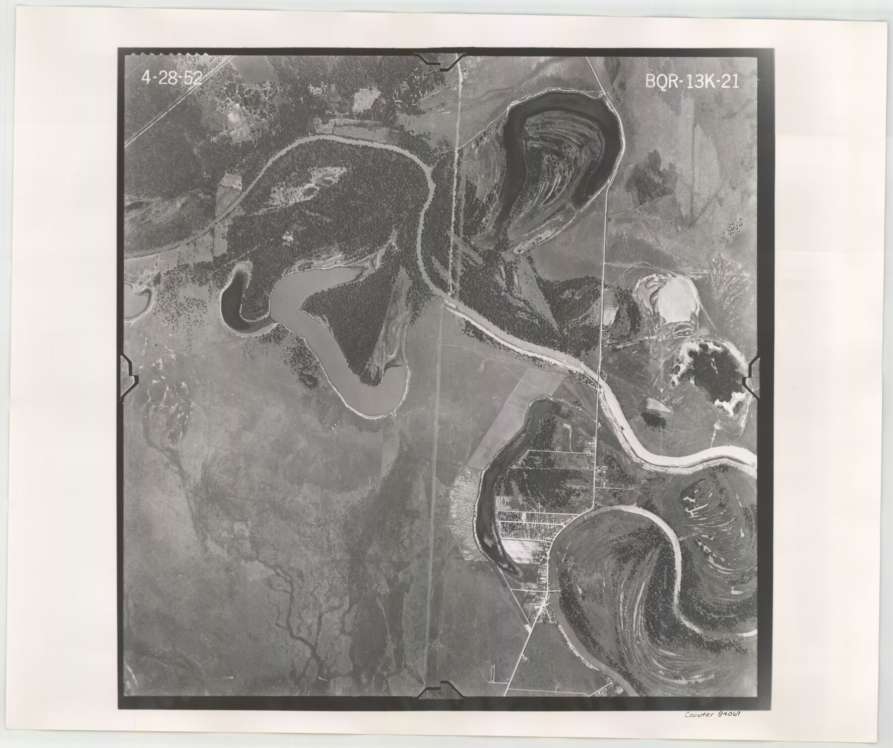
Flight Mission No. BQR-13K, Frame 21, Brazoria County
BQR-13K-21
-
Map/Doc
84069
-
Collection
General Map Collection
-
Object Dates
1952/4/28 (Creation Date)
-
People and Organizations
U. S. Department of Agriculture (Publisher)
-
Counties
Brazoria
-
Subjects
Aerial Photograph
-
Height x Width
18.8 x 22.4 inches
47.8 x 56.9 cm
-
Comments
Flown by Aero Exploration Company of Tulsa, Oklahoma.
Part of: General Map Collection
Armstrong County Sketch File A-4

Print $40.00
- Digital $50.00
Armstrong County Sketch File A-4
Size 14.8 x 20.5 inches
Map/Doc 10845
Blanco County Working Sketch 32

Print $20.00
- Digital $50.00
Blanco County Working Sketch 32
1972
Size 31.8 x 32.2 inches
Map/Doc 67392
Runnels County Rolled Sketch 34

Print $20.00
- Digital $50.00
Runnels County Rolled Sketch 34
Size 30.1 x 35.1 inches
Map/Doc 7522
Uvalde County Working Sketch 67

Print $20.00
- Digital $50.00
Uvalde County Working Sketch 67
2016
Size 24.4 x 36.6 inches
Map/Doc 94082
Childress County Sketch File 16b

Print $6.00
- Digital $50.00
Childress County Sketch File 16b
1884
Size 12.6 x 8.1 inches
Map/Doc 18305
Donley County Sketch File 12

Print $2.00
- Digital $50.00
Donley County Sketch File 12
Size 12.9 x 8.2 inches
Map/Doc 21248
Texas Intracoastal Waterway - Matagorda Bay, Cedar Lakes to Oyster Lake

Print $20.00
- Digital $50.00
Texas Intracoastal Waterway - Matagorda Bay, Cedar Lakes to Oyster Lake
1960
Size 27.1 x 38.9 inches
Map/Doc 73370
Zavala County Sketch File 10

Print $20.00
- Digital $50.00
Zavala County Sketch File 10
Size 17.6 x 25.7 inches
Map/Doc 12728
Haskell County Working Sketch 9

Print $20.00
- Digital $50.00
Haskell County Working Sketch 9
1959
Size 23.5 x 26.0 inches
Map/Doc 66067
Nueces County Rolled Sketch 56

Print $53.00
- Digital $50.00
Nueces County Rolled Sketch 56
1978
Size 10.0 x 15.1 inches
Map/Doc 47890
Old Miscellaneous File 31

Print $8.00
- Digital $50.00
Old Miscellaneous File 31
1845
Size 8.6 x 5.6 inches
Map/Doc 75748
Harris County Working Sketch 53

Print $20.00
- Digital $50.00
Harris County Working Sketch 53
1948
Size 28.0 x 26.9 inches
Map/Doc 65945
You may also like
Guadalupe County Sketch File 7b

Print $4.00
- Digital $50.00
Guadalupe County Sketch File 7b
Size 7.3 x 10.9 inches
Map/Doc 24670
Trinity River, Powell Sheet/Chambers Creek

Print $20.00
- Digital $50.00
Trinity River, Powell Sheet/Chambers Creek
1931
Size 32.6 x 37.9 inches
Map/Doc 65230
Section F Tech Memorial Park, Inc.

Print $20.00
- Digital $50.00
Section F Tech Memorial Park, Inc.
Size 18.4 x 34.8 inches
Map/Doc 92358
The Castro Colony. February 15, 1842

Print $20.00
The Castro Colony. February 15, 1842
2020
Size 23.0 x 17.7 inches
Map/Doc 96357
Copy of Surveyor's Field Book, Morris Browning - In Blocks 7, 5 & 4, I&GNRRCo., Hutchinson and Carson Counties, Texas

Print $2.00
- Digital $50.00
Copy of Surveyor's Field Book, Morris Browning - In Blocks 7, 5 & 4, I&GNRRCo., Hutchinson and Carson Counties, Texas
1888
Size 7.0 x 8.9 inches
Map/Doc 62266
Potter County Boundary File 3d

Print $12.00
- Digital $50.00
Potter County Boundary File 3d
Size 7.9 x 5.8 inches
Map/Doc 57987
Flight Mission No. DCL-6C, Frame 115, Kenedy County

Print $20.00
- Digital $50.00
Flight Mission No. DCL-6C, Frame 115, Kenedy County
1943
Size 18.5 x 22.4 inches
Map/Doc 85945
Webb County Working Sketch 93

Print $20.00
- Digital $50.00
Webb County Working Sketch 93
1989
Size 15.7 x 20.1 inches
Map/Doc 72460
[Blocks H, Z, Rodriguez League, and vicinity]
![91174, [Blocks H, Z, Rodriguez League, and vicinity], Twichell Survey Records](https://historictexasmaps.com/wmedia_w700/maps/91174-1.tif.jpg)
Print $20.00
- Digital $50.00
[Blocks H, Z, Rodriguez League, and vicinity]
Size 20.5 x 26.1 inches
Map/Doc 91174
Van Zandt County Rolled Sketch 6

Print $6.00
- Digital $50.00
Van Zandt County Rolled Sketch 6
1946
Size 33.5 x 34.2 inches
Map/Doc 10091
Map of Texas compiled from surveys recorded in the Land Office of Texas, and other official surveys

Print $20.00
- Digital $50.00
Map of Texas compiled from surveys recorded in the Land Office of Texas, and other official surveys
1843
Size 27.1 x 22.5 inches
Map/Doc 93863
The Mexican Municipality of Brazoria. March 6, 1834

Print $20.00
The Mexican Municipality of Brazoria. March 6, 1834
2020
Size 16.0 x 21.7 inches
Map/Doc 96016