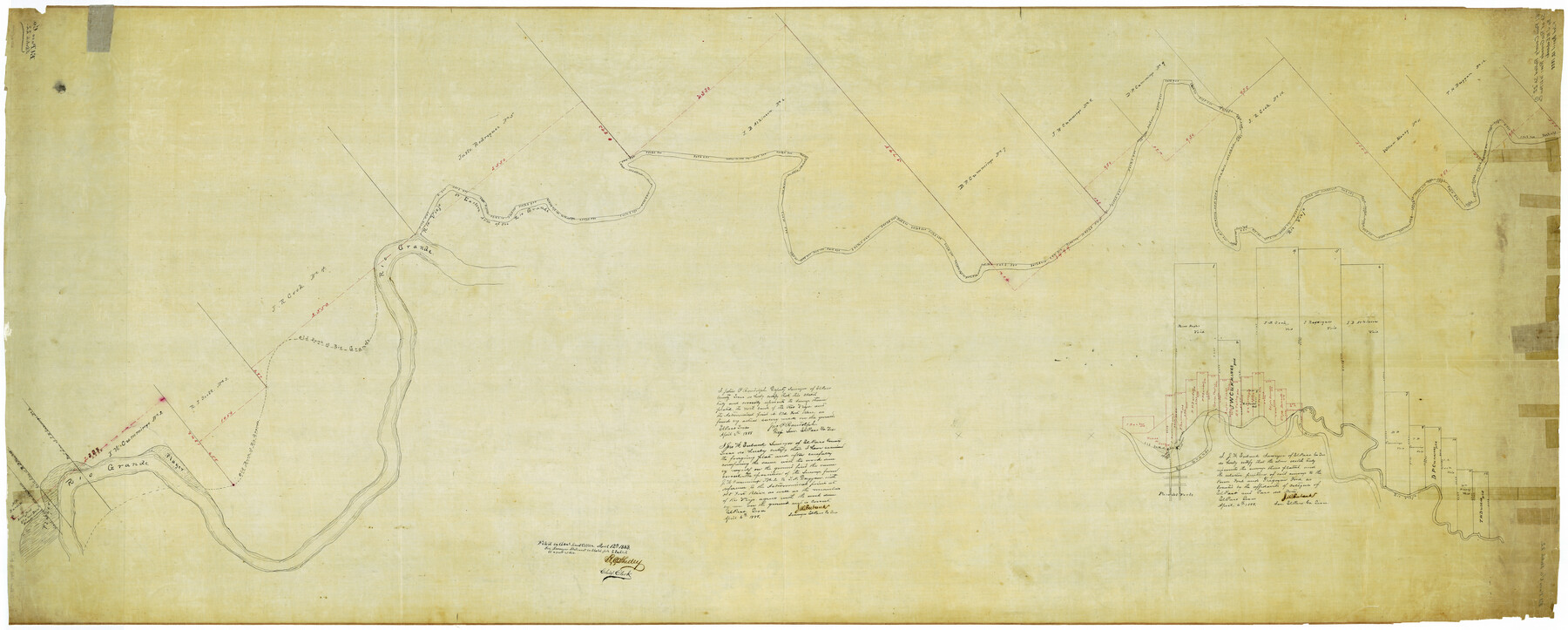
El Paso County Rolled Sketch 22
[Sketch of the Rio Grande]
-
Map/Doc
8859
-
Collection
General Map Collection
-
Object Dates
4/6/1888 (Creation Date)
4/12/1888 (File Date)
-
People and Organizations
J.W. Eubank (Surveyor/Engineer)
-
Counties
El Paso
-
Subjects
Surveying Rolled Sketch
-
Height x Width
38.8 x 95.1 inches
98.6 x 241.6 cm
-
Medium
linen, manuscript
-
Comments
See El Paso County Sketch File 22 (22031) for letter of explanation.
Related maps
El Paso County Sketch File 22

Print $22.00
- Digital $50.00
El Paso County Sketch File 22
1888
Size 14.2 x 9.0 inches
Map/Doc 22031
Part of: General Map Collection
Crockett County Working Sketch 98

Print $20.00
- Digital $50.00
Crockett County Working Sketch 98
1980
Size 42.8 x 35.9 inches
Map/Doc 68431
Bexar County Sketch File 61

Print $61.00
- Digital $50.00
Bexar County Sketch File 61
2019
Size 11.0 x 8.5 inches
Map/Doc 95709

Kendall County Working Sketch 2

Print $20.00
- Digital $50.00
Kendall County Working Sketch 2
1941
Size 28.6 x 21.1 inches
Map/Doc 66674
Concho County Rolled Sketch 13

Print $20.00
- Digital $50.00
Concho County Rolled Sketch 13
1958
Size 23.7 x 20.3 inches
Map/Doc 78461
Val Verde County Rolled Sketch 61

Print $20.00
- Digital $50.00
Val Verde County Rolled Sketch 61
1938
Size 27.3 x 24.2 inches
Map/Doc 8128
Flight Mission No. DCL-7C, Frame 47, Kenedy County

Print $20.00
- Digital $50.00
Flight Mission No. DCL-7C, Frame 47, Kenedy County
1943
Size 15.3 x 15.3 inches
Map/Doc 86035
Freestone County Sketch File 22

Print $40.00
- Digital $50.00
Freestone County Sketch File 22
1886
Size 14.4 x 17.3 inches
Map/Doc 23082
Street guide and metropolitan map of New Orleans [Verso]
![94199, Street guide and metropolitan map of New Orleans [Verso], General Map Collection](https://historictexasmaps.com/wmedia_w700/maps/94199.tif.jpg)
Street guide and metropolitan map of New Orleans [Verso]
1963
Size 18.3 x 27.1 inches
Map/Doc 94199
Crockett County Rolled Sketch 48

Print $20.00
- Digital $50.00
Crockett County Rolled Sketch 48
1939
Size 30.0 x 40.3 inches
Map/Doc 8712
Edwards County Sketch File 5

Print $5.00
- Digital $50.00
Edwards County Sketch File 5
Size 9.0 x 3.9 inches
Map/Doc 21682

You may also like
The Mexican Municipality of Brazoria. March 6, 1834

Print $20.00
The Mexican Municipality of Brazoria. March 6, 1834
2020
Size 16.0 x 21.7 inches
Map/Doc 96016
Flight Mission No. CRC-6R, Frame 40, Chambers County

Print $20.00
- Digital $50.00
Flight Mission No. CRC-6R, Frame 40, Chambers County
1956
Size 18.6 x 22.5 inches
Map/Doc 84973
Wise County Sketch File 31

Print $12.00
- Digital $50.00
Wise County Sketch File 31
1877
Size 13.1 x 8.1 inches
Map/Doc 40582
Liberty County Sketch File 59

Print $6.00
- Digital $50.00
Liberty County Sketch File 59
1943
Size 14.2 x 8.8 inches
Map/Doc 30068
Hopkins County Sketch File 24

Print $4.00
- Digital $50.00
Hopkins County Sketch File 24
1871
Size 12.8 x 8.4 inches
Map/Doc 26734
Real County Working Sketch 90

Print $20.00
- Digital $50.00
Real County Working Sketch 90
1991
Size 16.7 x 22.8 inches
Map/Doc 71982

Baylor County Working Sketch 4

Print $20.00
- Digital $50.00
Baylor County Working Sketch 4
1938
Size 30.4 x 21.0 inches
Map/Doc 67289
Brewster County Working Sketch 96

Print $20.00
- Digital $50.00
Brewster County Working Sketch 96
1976
Size 29.4 x 20.3 inches
Map/Doc 67696
Pecos County Working Sketch Graphic index - northwest part - sheet A

Print $20.00
- Digital $50.00
Pecos County Working Sketch Graphic index - northwest part - sheet A
1975
Size 42.2 x 42.6 inches
Map/Doc 76663
Washington County

Print $20.00
- Digital $50.00
Washington County
1863
Size 15.9 x 27.2 inches
Map/Doc 4127
Burlington Route

Print $20.00
- Digital $50.00
Burlington Route
1892
Size 34.9 x 47.7 inches
Map/Doc 93910