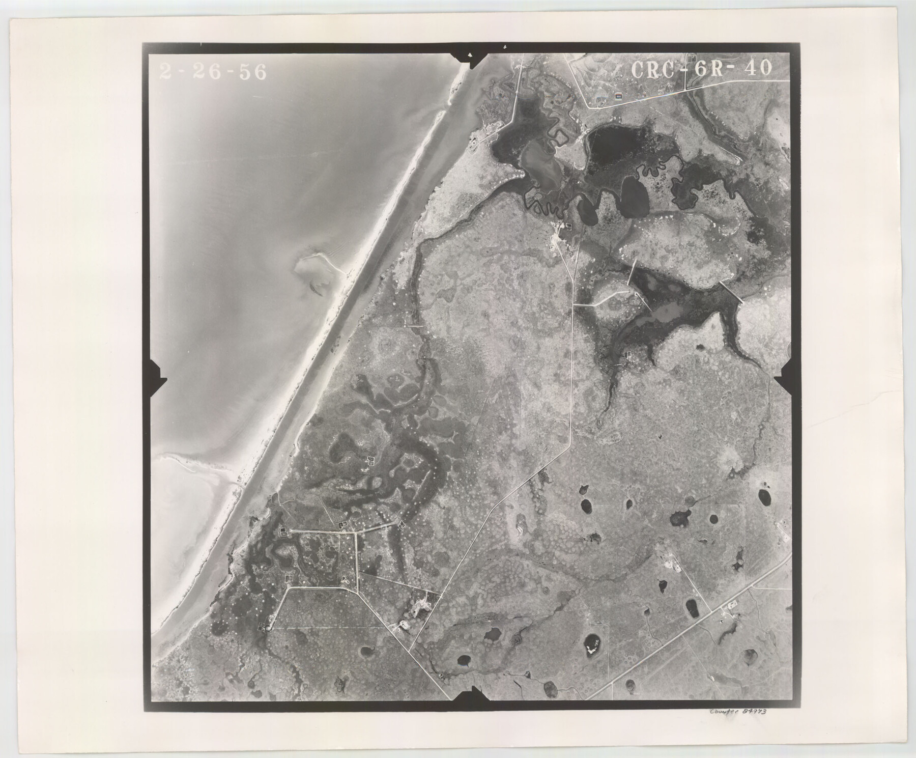
Flight Mission No. CRC-6R, Frame 40, Chambers County
CRC-6R-40
-
Map/Doc
84973
-
Collection
General Map Collection
-
Object Dates
1956/2/26 (Creation Date)
-
People and Organizations
U. S. Department of Agriculture (Publisher)
-
Counties
Chambers
-
Subjects
Aerial Photograph
-
Height x Width
18.6 x 22.5 inches
47.2 x 57.2 cm
-
Comments
Flown by Jack Ammann Photogrammetric Engineers, Inc. of San Antonio, Texas.
Part of: General Map Collection
Trinity County Working Sketch 18

Print $20.00
- Digital $50.00
Trinity County Working Sketch 18
1982
Size 13.4 x 11.1 inches
Map/Doc 69467
Presidio County Rolled Sketch 105B

Print $20.00
- Digital $50.00
Presidio County Rolled Sketch 105B
Size 46.5 x 36.5 inches
Map/Doc 9789
Randall County Boundary File 2a

Print $14.00
- Digital $50.00
Randall County Boundary File 2a
Size 9.6 x 6.1 inches
Map/Doc 58118
Gray County Working Sketch 1

Print $20.00
- Digital $50.00
Gray County Working Sketch 1
1957
Size 37.3 x 17.4 inches
Map/Doc 62196
Starr County Rolled Sketch 22

Print $20.00
- Digital $50.00
Starr County Rolled Sketch 22
1919
Size 37.3 x 22.3 inches
Map/Doc 7806
Flight Mission No. CRK-5P, Frame 126, Refugio County

Print $20.00
- Digital $50.00
Flight Mission No. CRK-5P, Frame 126, Refugio County
1956
Size 18.7 x 22.4 inches
Map/Doc 86929
Brewster County Working Sketch 20

Print $20.00
- Digital $50.00
Brewster County Working Sketch 20
1936
Size 34.0 x 27.5 inches
Map/Doc 67554
Flight Mission No. CLL-1N, Frame 84, Willacy County

Print $20.00
- Digital $50.00
Flight Mission No. CLL-1N, Frame 84, Willacy County
1954
Size 18.5 x 22.2 inches
Map/Doc 87030
Mills County Boundary File 5b

Print $8.00
- Digital $50.00
Mills County Boundary File 5b
Size 14.2 x 8.7 inches
Map/Doc 57307
Limestone County Sketch File 14

Print $4.00
- Digital $50.00
Limestone County Sketch File 14
1883
Size 10.7 x 8.2 inches
Map/Doc 30179
Flight Mission No. DQN-1K, Frame 157, Calhoun County

Print $20.00
- Digital $50.00
Flight Mission No. DQN-1K, Frame 157, Calhoun County
1953
Size 18.4 x 22.2 inches
Map/Doc 84216
Hopkins County

Print $20.00
- Digital $50.00
Hopkins County
1942
Size 39.6 x 37.6 inches
Map/Doc 77315
You may also like
Map of Houston Co.

Print $40.00
- Digital $50.00
Map of Houston Co.
1896
Size 48.8 x 46.8 inches
Map/Doc 76035
[Surveys near Seco Creek]
![225, [Surveys near Seco Creek], General Map Collection](https://historictexasmaps.com/wmedia_w700/maps/225.tif.jpg)
Print $2.00
- Digital $50.00
[Surveys near Seco Creek]
1846
Size 13.1 x 7.3 inches
Map/Doc 225
![91092, [Block M-23], Twichell Survey Records](https://historictexasmaps.com/wmedia_w700/maps/91092-1.tif.jpg)
Gray County Sketch File 7c

Print $20.00
- Digital $50.00
Gray County Sketch File 7c
1885
Size 26.5 x 19.6 inches
Map/Doc 11576
Houston County Working Sketch 11

Print $20.00
- Digital $50.00
Houston County Working Sketch 11
1953
Size 28.5 x 24.5 inches
Map/Doc 66241
Val Verde County Working Sketch 68

Print $20.00
- Digital $50.00
Val Verde County Working Sketch 68
1965
Size 37.3 x 44.2 inches
Map/Doc 72203
Shelby County Working Sketch 30

Print $20.00
- Digital $50.00
Shelby County Working Sketch 30
2000
Size 35.9 x 44.7 inches
Map/Doc 63885
Upton County Sketch File 4

Print $40.00
- Digital $50.00
Upton County Sketch File 4
1886
Size 19.5 x 9.0 inches
Map/Doc 12510
Hardin County

Print $20.00
- Digital $50.00
Hardin County
1940
Size 40.7 x 37.7 inches
Map/Doc 77303
Eastland County Boundary File 26

Print $24.00
- Digital $50.00
Eastland County Boundary File 26
Size 7.8 x 3.5 inches
Map/Doc 52801
Block No. 45 of the H. & T. C. R.R. Co. and Block No. 4T of the T. & N. O. R.R. Co. in Hansford and Ochiltree Cos. as resurveyed by J.L. Long, State Surveyor

Print $20.00
- Digital $50.00
Block No. 45 of the H. & T. C. R.R. Co. and Block No. 4T of the T. & N. O. R.R. Co. in Hansford and Ochiltree Cos. as resurveyed by J.L. Long, State Surveyor
1888
Size 34.1 x 28.1 inches
Map/Doc 75820
Lipscomb County Rolled Sketch 5

Print $40.00
- Digital $50.00
Lipscomb County Rolled Sketch 5
Size 60.5 x 8.0 inches
Map/Doc 81427