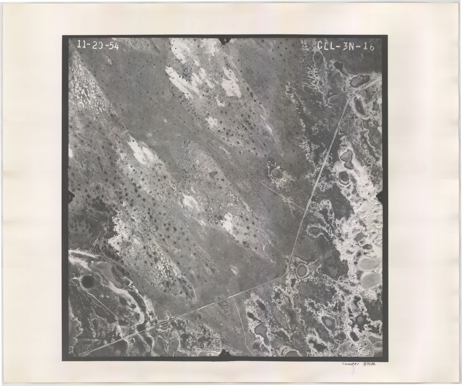
Flight Mission No. CLL-3N, Frame 16, Willacy County
CLL-3N-16
-
Map/Doc
87082
-
Collection
General Map Collection
-
Object Dates
1954/11/20 (Creation Date)
-
People and Organizations
U. S. Department of Agriculture (Publisher)
-
Counties
Willacy
-
Subjects
Aerial Photograph
-
Height x Width
18.5 x 22.1 inches
47.0 x 56.1 cm
-
Comments
Flown by Puckett Aerial Surveys, Inc. of Jackson, Mississippi.
Part of: General Map Collection
Harris County Historic Topographic 18

Print $20.00
- Digital $50.00
Harris County Historic Topographic 18
1916
Size 29.4 x 23.0 inches
Map/Doc 65828

Reagan County Rolled Sketch 22

Print $20.00
- Digital $50.00
Reagan County Rolled Sketch 22
Size 33.9 x 33.1 inches
Map/Doc 9817
Shelby County Sketch File 24

Print $36.00
- Digital $50.00
Shelby County Sketch File 24
1850
Size 13.0 x 8.1 inches
Map/Doc 36647
Map of a part of Fisher and Miller's Colony - Harvey's District

Print $20.00
- Digital $50.00
Map of a part of Fisher and Miller's Colony - Harvey's District
1856
Size 19.0 x 24.7 inches
Map/Doc 4657
Terrell County Rolled Sketch 53A

Print $20.00
- Digital $50.00
Terrell County Rolled Sketch 53A
Size 32.9 x 24.2 inches
Map/Doc 7972
Map of Anderson County

Print $20.00
- Digital $50.00
Map of Anderson County
1895
Size 40.9 x 45.4 inches
Map/Doc 4784
Coke County Working Sketch 8

Print $20.00
- Digital $50.00
Coke County Working Sketch 8
1926
Size 26.9 x 25.5 inches
Map/Doc 68045
Kimble County Working Sketch 1

Print $20.00
- Digital $50.00
Kimble County Working Sketch 1
Size 14.7 x 18.3 inches
Map/Doc 70069
Map of San Gabriel & Lampassas [sic] Surveys
![58, Map of San Gabriel & Lampassas [sic] Surveys, General Map Collection](https://historictexasmaps.com/wmedia_w700/maps/58.tif.jpg)
Print $20.00
- Digital $50.00
Map of San Gabriel & Lampassas [sic] Surveys
1841
Size 29.0 x 20.0 inches
Map/Doc 58
Stephens County Working Sketch 27

Print $20.00
- Digital $50.00
Stephens County Working Sketch 27
1976
Size 34.4 x 32.3 inches
Map/Doc 63970
Cooke County Sketch File 9a

Print $4.00
- Digital $50.00
Cooke County Sketch File 9a
Size 8.2 x 9.4 inches
Map/Doc 19240
You may also like
Brewster County Working Sketch 97

Print $20.00
- Digital $50.00
Brewster County Working Sketch 97
1978
Size 31.7 x 47.0 inches
Map/Doc 67697
[Rusk, Sutton, and Atascosa County School Lands]
![91124, [Rusk, Sutton, and Atascosa County School Lands], Twichell Survey Records](https://historictexasmaps.com/wmedia_w700/maps/91124-1.tif.jpg)
Print $2.00
- Digital $50.00
[Rusk, Sutton, and Atascosa County School Lands]
Size 6.0 x 7.1 inches
Map/Doc 91124
Montgomery County Rolled Sketch 25

Print $20.00
- Digital $50.00
Montgomery County Rolled Sketch 25
Size 38.1 x 24.2 inches
Map/Doc 6806
Roberts County Working Sketch 30

Print $20.00
- Digital $50.00
Roberts County Working Sketch 30
1983
Size 47.4 x 38.5 inches
Map/Doc 63556
Jefferson County Working Sketch 30b

Print $20.00
- Digital $50.00
Jefferson County Working Sketch 30b
Size 19.1 x 21.8 inches
Map/Doc 66574
Culberson County Rolled Sketch 39

Print $20.00
- Digital $50.00
Culberson County Rolled Sketch 39
Size 25.6 x 19.3 inches
Map/Doc 5783
Andrews County Sketch File 8a

Print $8.00
- Digital $50.00
Andrews County Sketch File 8a
1943
Size 11.3 x 8.8 inches
Map/Doc 12849
Victoria County Rolled Sketch 6

Print $20.00
- Digital $50.00
Victoria County Rolled Sketch 6
Size 27.9 x 36.3 inches
Map/Doc 8152
Bandera County Working Sketch 29

Print $20.00
- Digital $50.00
Bandera County Working Sketch 29
1954
Size 19.6 x 19.3 inches
Map/Doc 67625
[T. A. Thomson Block T, R. M. Thomson Block 1, and Block B]
![91054, [T. A. Thomson Block T, R. M. Thomson Block 1, and Block B], Twichell Survey Records](https://historictexasmaps.com/wmedia_w700/maps/91054-1.tif.jpg)
Print $20.00
- Digital $50.00
[T. A. Thomson Block T, R. M. Thomson Block 1, and Block B]
Size 17.3 x 20.4 inches
Map/Doc 91054
McMullen County Working Sketch 60

Print $20.00
- Digital $50.00
McMullen County Working Sketch 60
1987
Size 23.0 x 32.6 inches
Map/Doc 70761
Coast Chart No. 210 Aransas Pass and Corpus Christi Bay with the coast to latitude 27° 12' Texas

Print $20.00
- Digital $50.00
Coast Chart No. 210 Aransas Pass and Corpus Christi Bay with the coast to latitude 27° 12' Texas
1887
Size 27.5 x 18.4 inches
Map/Doc 72786