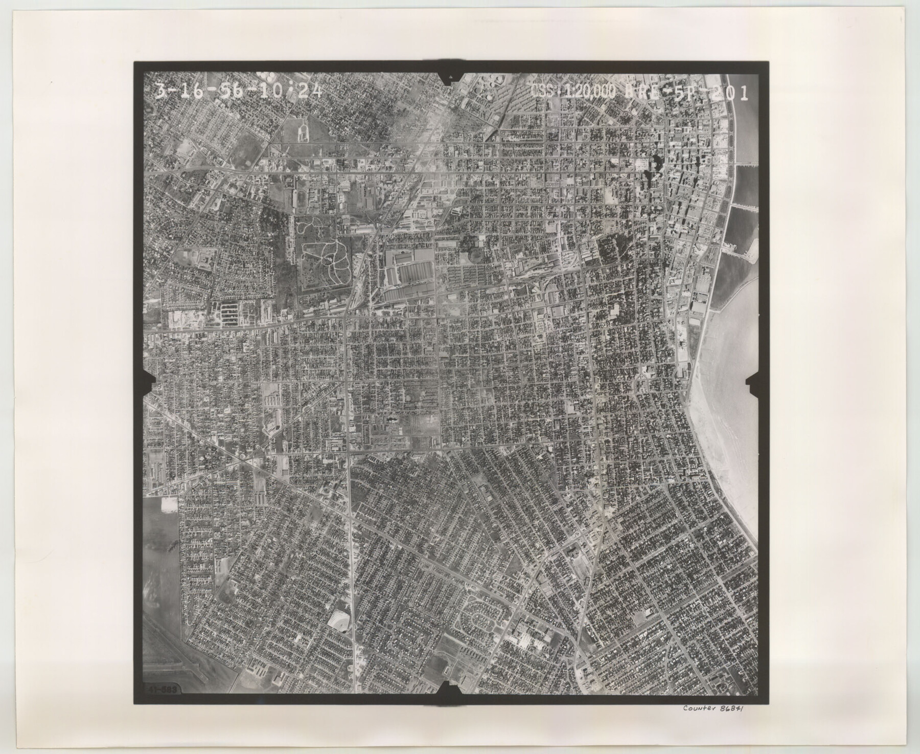
Flight Mission No. BRE-5P, Frame 201, Nueces County
BRE-5P-201
-
Map/Doc
86841
-
Collection
General Map Collection
-
Object Dates
1956/3/16 (Creation Date)
-
People and Organizations
U. S. Department of Agriculture (Publisher)
-
Counties
Nueces
-
Subjects
Aerial Photograph
-
Height x Width
18.5 x 22.6 inches
47.0 x 57.4 cm
-
Comments
Flown by V. L. Beavers and Associates of San Antonio, Texas.
Part of: General Map Collection
Somervell County Working Sketch 6

Print $20.00
- Digital $50.00
Somervell County Working Sketch 6
1992
Size 23.2 x 21.5 inches
Map/Doc 63910
[Sketch for Mineral Application 26501 - Sabine River, T. A. Oldhausen]
![2837, [Sketch for Mineral Application 26501 - Sabine River, T. A. Oldhausen], General Map Collection](https://historictexasmaps.com/wmedia_w700/maps/2837.tif.jpg)
Print $20.00
- Digital $50.00
[Sketch for Mineral Application 26501 - Sabine River, T. A. Oldhausen]
1931
Size 24.1 x 36.0 inches
Map/Doc 2837
Hutchinson County Rolled Sketch 43

Print $40.00
- Digital $50.00
Hutchinson County Rolled Sketch 43
1992
Size 38.0 x 49.4 inches
Map/Doc 6311
Brewster County Rolled Sketch 81

Print $20.00
- Digital $50.00
Brewster County Rolled Sketch 81
1945
Size 30.8 x 33.9 inches
Map/Doc 8494
Edwards County Sketch File 30

Print $10.00
- Digital $50.00
Edwards County Sketch File 30
1920
Size 6.5 x 8.9 inches
Map/Doc 21757

Bexar County Working Sketch 2

Print $20.00
- Digital $50.00
Bexar County Working Sketch 2
1940
Size 24.8 x 27.9 inches
Map/Doc 67318
Flight Mission No. BRA-7M, Frame 123, Jefferson County

Print $20.00
- Digital $50.00
Flight Mission No. BRA-7M, Frame 123, Jefferson County
1953
Size 18.7 x 22.3 inches
Map/Doc 85517
Crockett County Sketch File 87

Print $12.00
- Digital $50.00
Crockett County Sketch File 87
Size 12.3 x 9.0 inches
Map/Doc 19910
Galveston County Rolled Sketch 25

Print $20.00
- Digital $50.00
Galveston County Rolled Sketch 25
1965
Size 18.6 x 24.2 inches
Map/Doc 5961
Hall County Rolled Sketch 3

Print $20.00
- Digital $50.00
Hall County Rolled Sketch 3
1890
Size 12.6 x 22.6 inches
Map/Doc 6048
Webb County Working Sketch 76

Print $20.00
- Digital $50.00
Webb County Working Sketch 76
1975
Size 43.3 x 37.5 inches
Map/Doc 72443
You may also like
Val Verde County Sketch File 18

Print $8.00
- Digital $50.00
Val Verde County Sketch File 18
1883
Size 13.1 x 8.4 inches
Map/Doc 39225
Blanco County Working Sketch 27

Print $20.00
- Digital $50.00
Blanco County Working Sketch 27
1969
Size 31.9 x 31.8 inches
Map/Doc 67387
Washington County Sketch File 5

Print $4.00
- Digital $50.00
Washington County Sketch File 5
Size 8.0 x 7.0 inches
Map/Doc 39652
Brazoria County NRC Article 33.136 Sketch 21

Print $34.00
Brazoria County NRC Article 33.136 Sketch 21
2018
Map/Doc 97241
Harris County Rolled Sketch WHW

Print $20.00
- Digital $50.00
Harris County Rolled Sketch WHW
1930
Size 20.7 x 41.6 inches
Map/Doc 6466
Reeves County Rolled Sketch 10

Print $20.00
- Digital $50.00
Reeves County Rolled Sketch 10
Size 22.4 x 42.0 inches
Map/Doc 7480
Marion County Working Sketch 16

Print $20.00
- Digital $50.00
Marion County Working Sketch 16
1954
Size 22.6 x 25.4 inches
Map/Doc 70792
Terry County Working Sketch 1

Print $20.00
- Digital $50.00
Terry County Working Sketch 1
1938
Size 24.0 x 19.9 inches
Map/Doc 62106
Flight Mission No. CRE-2R, Frame 165, Jackson County

Print $20.00
- Digital $50.00
Flight Mission No. CRE-2R, Frame 165, Jackson County
1956
Size 18.5 x 22.3 inches
Map/Doc 85375
Pecos County Rolled Sketch 47

Print $20.00
- Digital $50.00
Pecos County Rolled Sketch 47
1913
Size 20.3 x 43.8 inches
Map/Doc 7225
Ward County Working Sketch 4

Print $20.00
- Digital $50.00
Ward County Working Sketch 4
1943
Size 17.0 x 16.7 inches
Map/Doc 72310
Starr County Rolled Sketch 32

Print $20.00
- Digital $50.00
Starr County Rolled Sketch 32
1942
Size 23.6 x 23.6 inches
Map/Doc 7829