[Galveston, Harrisburg & San Antonio Railroad from Cuero to Stockdale]
Z-2-52
-
Map/Doc
64187
-
Collection
General Map Collection
-
Object Dates
1906 (Creation Date)
-
Counties
DeWitt
-
Subjects
Railroads
-
Height x Width
13.3 x 32.9 inches
33.8 x 83.6 cm
-
Medium
blueprint/diazo
-
Comments
See counter nos. 64183 through 64204 for all sheets of the map.
-
Features
GH&SA
Clear Creek
Part of: General Map Collection
Eastland County Sketch File 22


Print $33.00
- Digital $50.00
Eastland County Sketch File 22
1964
Size 11.0 x 17.0 inches
Map/Doc 21626
Flight Mission No. BRE-1P, Frame 98, Nueces County


Print $20.00
- Digital $50.00
Flight Mission No. BRE-1P, Frame 98, Nueces County
1956
Size 18.4 x 22.1 inches
Map/Doc 86669
Map of Bowie County


Print $20.00
- Digital $50.00
Map of Bowie County
1862
Size 20.0 x 23.5 inches
Map/Doc 3317
Controlled Mosaic by Jack Amman Photogrammetric Engineers, Inc - Sheet 28


Print $20.00
- Digital $50.00
Controlled Mosaic by Jack Amman Photogrammetric Engineers, Inc - Sheet 28
1954
Size 20.0 x 24.0 inches
Map/Doc 83479
Harris County Historic Topographic C

Print $20.00
- Digital $50.00
Harris County Historic Topographic C
1916
Size 25.5 x 19.1 inches
Map/Doc 65851
Smith County Working Sketch 10

Print $20.00
- Digital $50.00
Smith County Working Sketch 10
1952
Size 33.4 x 24.2 inches
Map/Doc 63895
Greer County Sketch File 6


Print $4.00
- Digital $50.00
Greer County Sketch File 6
Size 14.2 x 8.8 inches
Map/Doc 24524
Intracoastal Waterway in Texas - Corpus Christi to Point Isabel including Arroyo Colorado to Mo. Pac. R.R. Bridge Near Harlingen


Print $20.00
- Digital $50.00
Intracoastal Waterway in Texas - Corpus Christi to Point Isabel including Arroyo Colorado to Mo. Pac. R.R. Bridge Near Harlingen
1933
Size 28.2 x 41.3 inches
Map/Doc 61873
Brewster County Rolled Sketch 122


Print $20.00
- Digital $50.00
Brewster County Rolled Sketch 122
1974
Size 32.0 x 25.5 inches
Map/Doc 5297
Kendall County Working Sketch 21


Print $20.00
- Digital $50.00
Kendall County Working Sketch 21
1970
Size 44.7 x 23.8 inches
Map/Doc 66693
Hansford County Working Sketch 5


Print $20.00
- Digital $50.00
Hansford County Working Sketch 5
1967
Size 30.2 x 28.3 inches
Map/Doc 63377
You may also like
Kimble County Working Sketch 39


Print $20.00
- Digital $50.00
Kimble County Working Sketch 39
1947
Size 30.8 x 23.5 inches
Map/Doc 70107
Hockley County Rolled Sketch 4

Print $40.00
- Digital $50.00
Hockley County Rolled Sketch 4
Size 40.5 x 54.7 inches
Map/Doc 9174
Deaf Smith County, Texas


Print $20.00
- Digital $50.00
Deaf Smith County, Texas
Size 24.7 x 18.8 inches
Map/Doc 90596
Jeff Davis County Boundary File 2
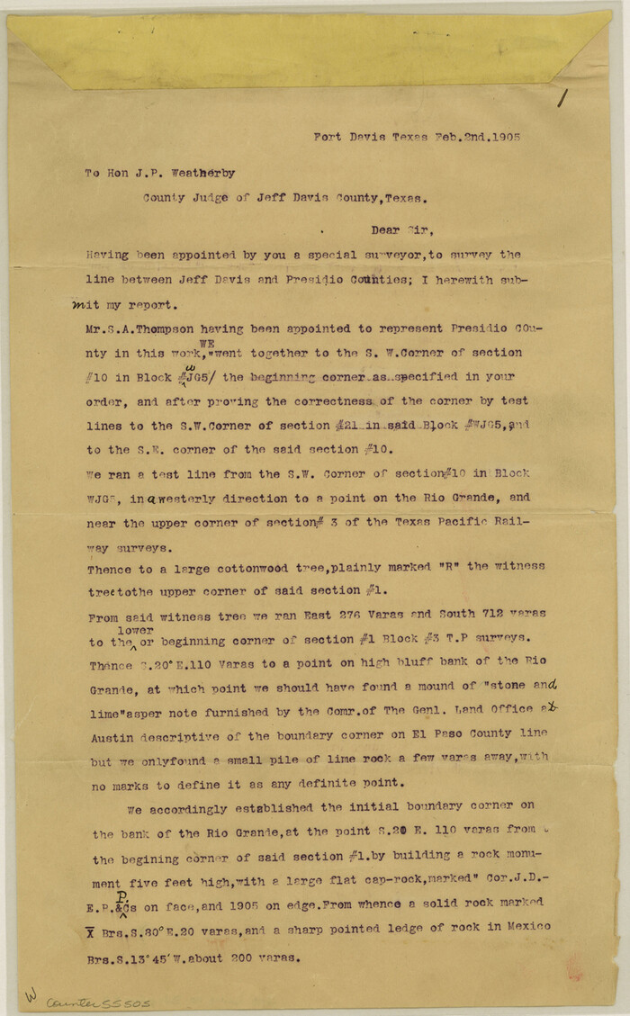

Print $14.00
- Digital $50.00
Jeff Davis County Boundary File 2
Size 14.3 x 8.8 inches
Map/Doc 55505
Atascosa County Sketch File 9
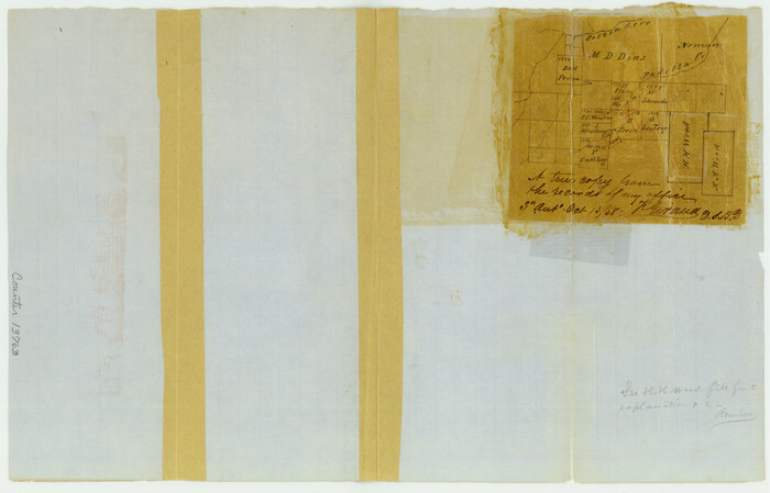

Print $4.00
- Digital $50.00
Atascosa County Sketch File 9
1858
Size 8.1 x 12.6 inches
Map/Doc 13763
Flight Mission No. CRC-3R, Frame 102, Chambers County
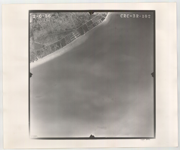

Print $20.00
- Digital $50.00
Flight Mission No. CRC-3R, Frame 102, Chambers County
1956
Size 18.7 x 22.5 inches
Map/Doc 84840
Map of Wood County


Print $20.00
- Digital $50.00
Map of Wood County
1872
Size 15.6 x 16.8 inches
Map/Doc 4167
Houston County Working Sketch 7
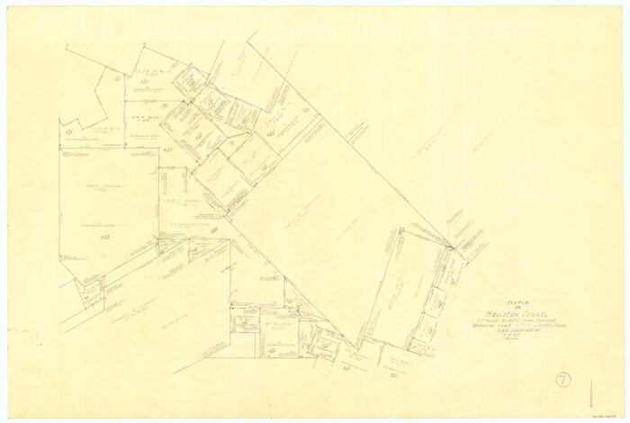

Print $20.00
- Digital $50.00
Houston County Working Sketch 7
1935
Size 24.7 x 36.8 inches
Map/Doc 66237
Colorado County Rolled Sketch 5


Print $20.00
- Digital $50.00
Colorado County Rolled Sketch 5
1965
Size 37.9 x 35.9 inches
Map/Doc 8644
Packery Channel
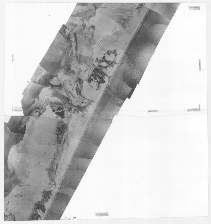

Print $20.00
- Digital $50.00
Packery Channel
1937
Size 23.8 x 22.4 inches
Map/Doc 3008
General Highway Map, El Paso County, Texas
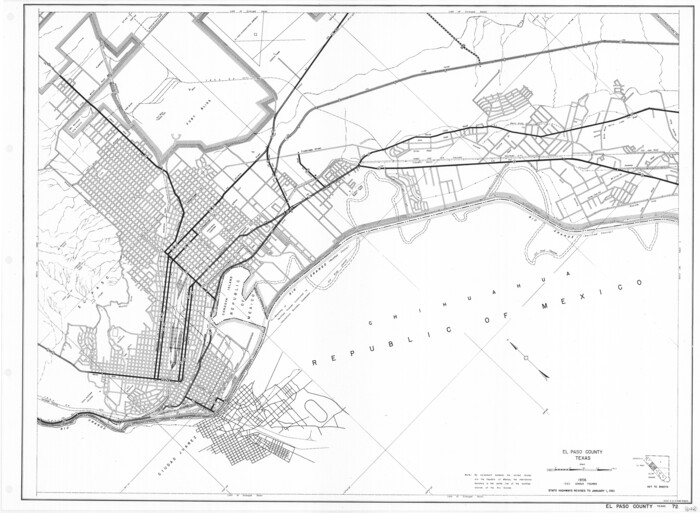

Print $20.00
General Highway Map, El Paso County, Texas
1961
Size 18.1 x 24.7 inches
Map/Doc 79457
Motley County Sketch File 16 (N)
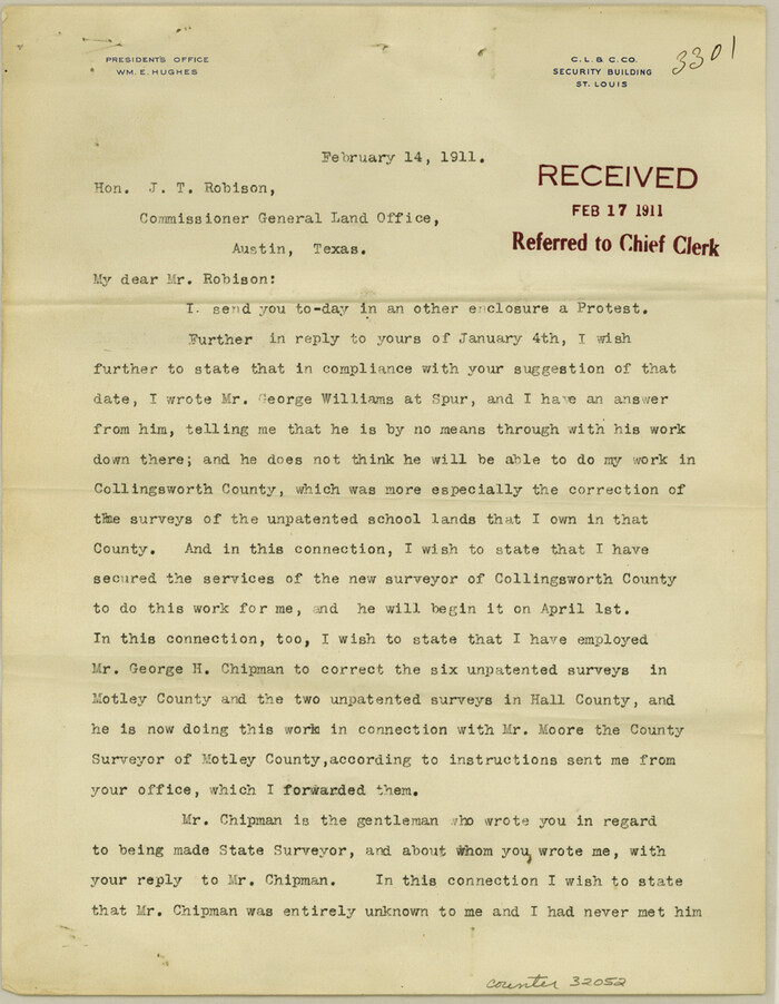

Print $16.00
- Digital $50.00
Motley County Sketch File 16 (N)
1911
Size 11.0 x 8.6 inches
Map/Doc 32052
![64187, [Galveston, Harrisburg & San Antonio Railroad from Cuero to Stockdale], General Map Collection](https://historictexasmaps.com/wmedia_w1800h1800/maps/64187.tif.jpg)
