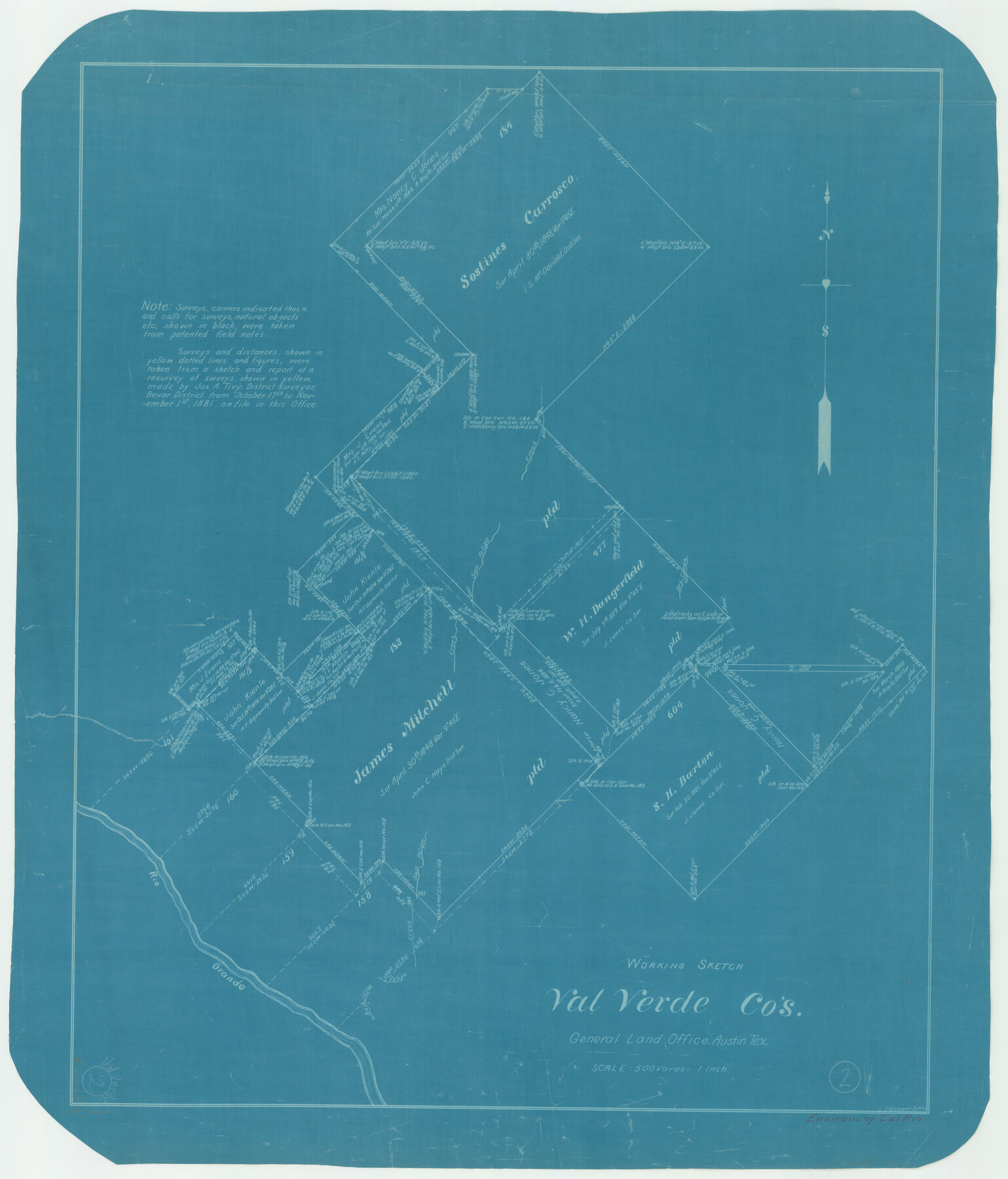
Val Verde County Working Sketch 2
-
Map/Doc
72137
-
Collection
General Map Collection
-
People and Organizations
L. Ehlinger (Draftsman)
-
Counties
Val Verde
-
Subjects
Surveying Working Sketch
-
Height x Width
27.9 x 23.8 inches
70.9 x 60.5 cm
-
Scale
1" = 500 varas
Part of: General Map Collection
Wharton County Sketch File 25

Print $4.00
- Digital $50.00
Wharton County Sketch File 25
1978
Size 11.1 x 8.7 inches
Map/Doc 39988
Current Miscellaneous File 83

Print $2.00
- Digital $50.00
Current Miscellaneous File 83
1936
Size 8.3 x 10.6 inches
Map/Doc 74226
Marion County Rolled Sketch 2

Print $40.00
- Digital $50.00
Marion County Rolled Sketch 2
1954
Size 82.7 x 43.2 inches
Map/Doc 76446
Gulf Coast of the United States, Key West to Rio Grande

Print $20.00
- Digital $50.00
Gulf Coast of the United States, Key West to Rio Grande
1863
Size 27.5 x 18.2 inches
Map/Doc 72665
Potter County Sketch File 13

Print $20.00
- Digital $50.00
Potter County Sketch File 13
Size 21.6 x 16.6 inches
Map/Doc 12199
Map of Aransas Co.

Print $20.00
- Digital $50.00
Map of Aransas Co.
1896
Size 35.1 x 32.0 inches
Map/Doc 4776
Galveston County NRC Article 33.136 Sketch 32

Print $26.00
- Digital $50.00
Galveston County NRC Article 33.136 Sketch 32
2005
Size 24.5 x 36.8 inches
Map/Doc 83173
Connected Map of the County of Victoria

Print $40.00
- Digital $50.00
Connected Map of the County of Victoria
1838
Size 79.7 x 49.0 inches
Map/Doc 1946
Controlled Mosaic by Jack Amman Photogrammetric Engineers, Inc - Sheet 47

Print $20.00
- Digital $50.00
Controlled Mosaic by Jack Amman Photogrammetric Engineers, Inc - Sheet 47
1954
Size 20.0 x 24.0 inches
Map/Doc 83506
Hale County Working Sketch 7

Print $20.00
- Digital $50.00
Hale County Working Sketch 7
1963
Size 24.4 x 20.6 inches
Map/Doc 63327
Bexar County Sketch File 59

Print $4.00
- Digital $50.00
Bexar County Sketch File 59
Size 10.2 x 8.1 inches
Map/Doc 14576
Reagan County Working Sketch 13

Print $40.00
- Digital $50.00
Reagan County Working Sketch 13
1948
Size 23.8 x 50.8 inches
Map/Doc 71853
You may also like
Van Zandt County Sketch File 16 1/2

Print $4.00
- Digital $50.00
Van Zandt County Sketch File 16 1/2
1858
Size 11.0 x 7.8 inches
Map/Doc 39414
United States - Gulf Coast - From Latitude 26° 33' to the Rio Grande Texas

Print $20.00
- Digital $50.00
United States - Gulf Coast - From Latitude 26° 33' to the Rio Grande Texas
1913
Size 27.9 x 18.2 inches
Map/Doc 72832

Irion County Working Sketch 10

Print $20.00
- Digital $50.00
Irion County Working Sketch 10
1940
Size 29.6 x 43.5 inches
Map/Doc 66419
Henderson County Working Sketch 16

Print $40.00
- Digital $50.00
Henderson County Working Sketch 16
1937
Size 49.9 x 30.9 inches
Map/Doc 66149
Flight Mission No. DAG-22K, Frame 75, Matagorda County

Print $20.00
- Digital $50.00
Flight Mission No. DAG-22K, Frame 75, Matagorda County
1953
Size 18.5 x 22.3 inches
Map/Doc 86462
Galveston County Sketch File 50

Print $70.00
- Digital $50.00
Galveston County Sketch File 50
Size 14.2 x 8.7 inches
Map/Doc 23481
Comanche County Sketch File 23

Print $4.00
- Digital $50.00
Comanche County Sketch File 23
Size 8.3 x 7.5 inches
Map/Doc 19111


Eastland County Boundary File 1

Print $10.00
- Digital $50.00
Eastland County Boundary File 1
Size 11.1 x 8.5 inches
Map/Doc 52780
Fannin County Texas

Print $20.00
- Digital $50.00
Fannin County Texas
1870
Size 23.9 x 19.3 inches
Map/Doc 4542