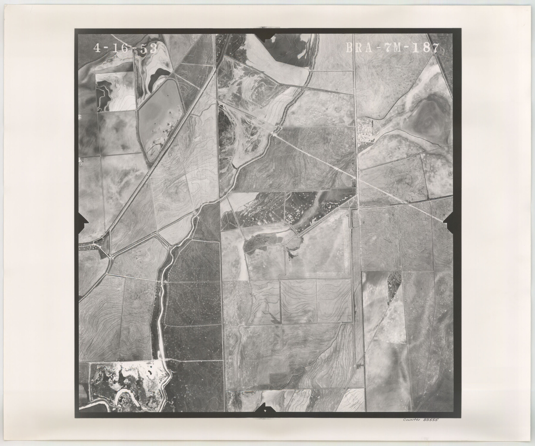
Flight Mission No. BRA-7M, Frame 187, Jefferson County
BRA-7M-187
-
Map/Doc
85555
-
Collection
General Map Collection
-
Object Dates
1953/4/16 (Creation Date)
-
People and Organizations
U. S. Department of Agriculture (Publisher)
-
Counties
Jefferson
-
Subjects
Aerial Photograph
-
Height x Width
18.5 x 22.2 inches
47.0 x 56.4 cm
-
Comments
Flown by Jack Ammann Photogrammetric Engineers of San Antonio, Texas.
Part of: General Map Collection
Wilson County

Print $40.00
- Digital $50.00
Wilson County
1921
Size 39.6 x 48.5 inches
Map/Doc 73327
Brown County Working Sketch 19

Print $20.00
- Digital $50.00
Brown County Working Sketch 19
1998
Size 37.1 x 34.8 inches
Map/Doc 67784
Flight Mission No. DIX-5P, Frame 146, Aransas County

Print $20.00
- Digital $50.00
Flight Mission No. DIX-5P, Frame 146, Aransas County
1956
Size 17.7 x 17.9 inches
Map/Doc 83808
Bosque County Working Sketch 16

Print $20.00
- Digital $50.00
Bosque County Working Sketch 16
1974
Size 40.5 x 33.2 inches
Map/Doc 67449
Garza County Working Sketch Graphic Index

Print $20.00
- Digital $50.00
Garza County Working Sketch Graphic Index
1928
Size 46.7 x 36.2 inches
Map/Doc 76552
Midland County Working Sketch 10

Print $20.00
- Digital $50.00
Midland County Working Sketch 10
1951
Size 30.2 x 21.2 inches
Map/Doc 70990
[Sketch for Mineral Application 15559 - Hutchinson County, Canadian River]
![65681, [Sketch for Mineral Application 15559 - Hutchinson County, Canadian River], General Map Collection](https://historictexasmaps.com/wmedia_w700/maps/65681-1.tif.jpg)
Print $20.00
- Digital $50.00
[Sketch for Mineral Application 15559 - Hutchinson County, Canadian River]
1926
Size 13.2 x 12.0 inches
Map/Doc 65681
Sterling County Sketch File 19

Print $8.00
- Digital $50.00
Sterling County Sketch File 19
1949
Size 11.2 x 8.6 inches
Map/Doc 37169
Edwards County Working Sketch Graphic Index - east part - sheet 1

Print $40.00
- Digital $50.00
Edwards County Working Sketch Graphic Index - east part - sheet 1
1975
Size 54.8 x 39.9 inches
Map/Doc 76533
Morris County Rolled Sketch 2A

Print $20.00
- Digital $50.00
Morris County Rolled Sketch 2A
Size 24.0 x 18.8 inches
Map/Doc 10226
Flight Mission No. BRA-16M, Frame 143, Jefferson County

Print $20.00
- Digital $50.00
Flight Mission No. BRA-16M, Frame 143, Jefferson County
1953
Size 18.5 x 22.2 inches
Map/Doc 85749
Parker County Sketch File 9a

Print $4.00
- Digital $50.00
Parker County Sketch File 9a
1859
Size 9.0 x 7.7 inches
Map/Doc 33540
You may also like
La Salle County Sketch File 35

Print $40.00
- Digital $50.00
La Salle County Sketch File 35
Size 12.1 x 19.7 inches
Map/Doc 29587
Llano County Working Sketch 13

Print $20.00
- Digital $50.00
Llano County Working Sketch 13
1987
Size 23.0 x 22.3 inches
Map/Doc 70631
Kent County Sketch File 11

Print $22.00
- Digital $50.00
Kent County Sketch File 11
1915
Size 7.9 x 8.6 inches
Map/Doc 28838
Chambers County Rolled Sketch 11

Print $20.00
- Digital $50.00
Chambers County Rolled Sketch 11
Size 20.0 x 26.5 inches
Map/Doc 5424
General Highway Map, Bailey County, Texas

Print $20.00
General Highway Map, Bailey County, Texas
1940
Size 25.1 x 18.3 inches
Map/Doc 79010
Houston County Sketch File 4

Print $24.00
- Digital $50.00
Houston County Sketch File 4
1859
Size 12.7 x 8.3 inches
Map/Doc 26751
Childress County Rolled Sketch 9D

Print $3.00
- Digital $50.00
Childress County Rolled Sketch 9D
1945
Size 16.0 x 10.0 inches
Map/Doc 78221
Phelps's National Map of the United States, a Travellers Guide. Embracing the principal railroads, canals, steamboat & stage routes, throughout the Union

Print $20.00
- Digital $50.00
Phelps's National Map of the United States, a Travellers Guide. Embracing the principal railroads, canals, steamboat & stage routes, throughout the Union
1849
Size 20.9 x 26.3 inches
Map/Doc 95901
Galveston County Sketch File 1

Print $4.00
- Digital $50.00
Galveston County Sketch File 1
Size 12.7 x 8.5 inches
Map/Doc 23346
Anderson County Working Sketch 13

Print $20.00
- Digital $50.00
Anderson County Working Sketch 13
1930
Size 34.0 x 21.9 inches
Map/Doc 67013

Map of the District of San Patricio and Nueces

Print $40.00
- Digital $50.00
Map of the District of San Patricio and Nueces
Size 93.8 x 38.4 inches
Map/Doc 93366