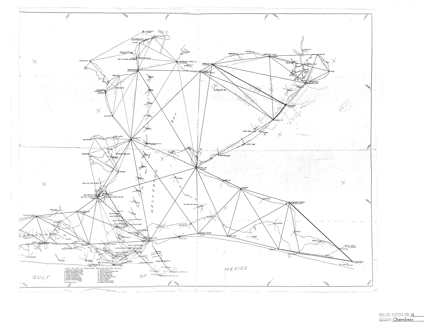
Chambers County Rolled Sketch 11
[Galveston Bay]
-
Map/Doc
5424
-
Collection
General Map Collection
-
Counties
Chambers
-
Subjects
Surveying Rolled Sketch
-
Height x Width
20.0 x 26.5 inches
50.8 x 67.3 cm
-
Medium
photostat
Part of: General Map Collection
Flight Mission No. CRC-4R, Frame 92, Chambers County

Print $20.00
- Digital $50.00
Flight Mission No. CRC-4R, Frame 92, Chambers County
1956
Size 18.5 x 22.4 inches
Map/Doc 84889
Flight Mission No. DQN-3K, Frame 69, Calhoun County

Print $20.00
- Digital $50.00
Flight Mission No. DQN-3K, Frame 69, Calhoun County
1953
Size 18.5 x 22.3 inches
Map/Doc 84360
Nueces County Sketch File 61

Print $4.00
- Digital $50.00
Nueces County Sketch File 61
1930
Size 10.5 x 8.6 inches
Map/Doc 32969
San Jacinto County Sketch File 12a

Print $20.00
San Jacinto County Sketch File 12a
Size 12.8 x 14.3 inches
Map/Doc 35722

Padre Island National Seashore, Texas - Dependent Resurvey

Print $4.00
- Digital $50.00
Padre Island National Seashore, Texas - Dependent Resurvey
2001
Size 18.2 x 24.3 inches
Map/Doc 60548
Kinney County Sketch File 12

Print $24.00
- Digital $50.00
Kinney County Sketch File 12
1885
Size 20.7 x 38.6 inches
Map/Doc 10618
Boundary Between the United States & Mexico Agreed upon by the Joint Commission under the Treaty of Guadalupe Hidalgo

Print $20.00
- Digital $50.00
Boundary Between the United States & Mexico Agreed upon by the Joint Commission under the Treaty of Guadalupe Hidalgo
1853
Size 18.3 x 26.7 inches
Map/Doc 72885
Potter County Boundary File 2a

Print $82.00
- Digital $50.00
Potter County Boundary File 2a
Size 94.2 x 8.7 inches
Map/Doc 57967
Jefferson County Rolled Sketch 33

Print $20.00
- Digital $50.00
Jefferson County Rolled Sketch 33
1956
Size 46.8 x 27.5 inches
Map/Doc 6393
In the Supreme Court of the United States The State of Oklahoma, Complainant vs. The State of Texas, Defendant, The United States of America, Intervener - 1920

Print $20.00
- Digital $50.00
In the Supreme Court of the United States The State of Oklahoma, Complainant vs. The State of Texas, Defendant, The United States of America, Intervener - 1920
1920
Size 31.6 x 37.2 inches
Map/Doc 75115
Jeff Davis County Working Sketch 14

Print $20.00
- Digital $50.00
Jeff Davis County Working Sketch 14
1949
Size 21.5 x 25.8 inches
Map/Doc 66509
You may also like
[Blocks 44, 6T, 26, B10, and B12]
![91528, [Blocks 44, 6T, 26, B10, and B12], Twichell Survey Records](https://historictexasmaps.com/wmedia_w700/maps/91528-1.tif.jpg)
Print $20.00
- Digital $50.00
[Blocks 44, 6T, 26, B10, and B12]
Size 19.7 x 15.8 inches
Map/Doc 91528
Hudspeth County Sketch File 37

Print $80.00
- Digital $50.00
Hudspeth County Sketch File 37
Size 12.5 x 98.3 inches
Map/Doc 27008

Red River County Sketch File 27

Print $4.00
- Digital $50.00
Red River County Sketch File 27
1848
Size 12.8 x 8.3 inches
Map/Doc 35163

Nueces County

Print $20.00
- Digital $50.00
Nueces County
1913
Size 26.9 x 35.9 inches
Map/Doc 95602
Presidio County Rolled Sketch 3B

Print $20.00
- Digital $50.00
Presidio County Rolled Sketch 3B
Size 26.2 x 24.1 inches
Map/Doc 7328
Schleicher County Rolled Sketch 10

Print $20.00
- Digital $50.00
Schleicher County Rolled Sketch 10
Size 28.9 x 29.1 inches
Map/Doc 7752
Jefferson County Sketch File 5b

Print $6.00
- Digital $50.00
Jefferson County Sketch File 5b
1860
Size 9.3 x 11.1 inches
Map/Doc 28108
Pecos County Sketch File 93

Print $46.00
- Digital $50.00
Pecos County Sketch File 93
1955
Size 9.6 x 8.3 inches
Map/Doc 33990
Maps of Gulf Intracoastal Waterway, Texas - Sabine River to the Rio Grande and connecting waterways including ship channels

Print $20.00
- Digital $50.00
Maps of Gulf Intracoastal Waterway, Texas - Sabine River to the Rio Grande and connecting waterways including ship channels
1966
Size 14.6 x 22.3 inches
Map/Doc 61938
Cochran County

Print $20.00
- Digital $50.00
Cochran County
1946
Size 33.2 x 25.0 inches
Map/Doc 1801