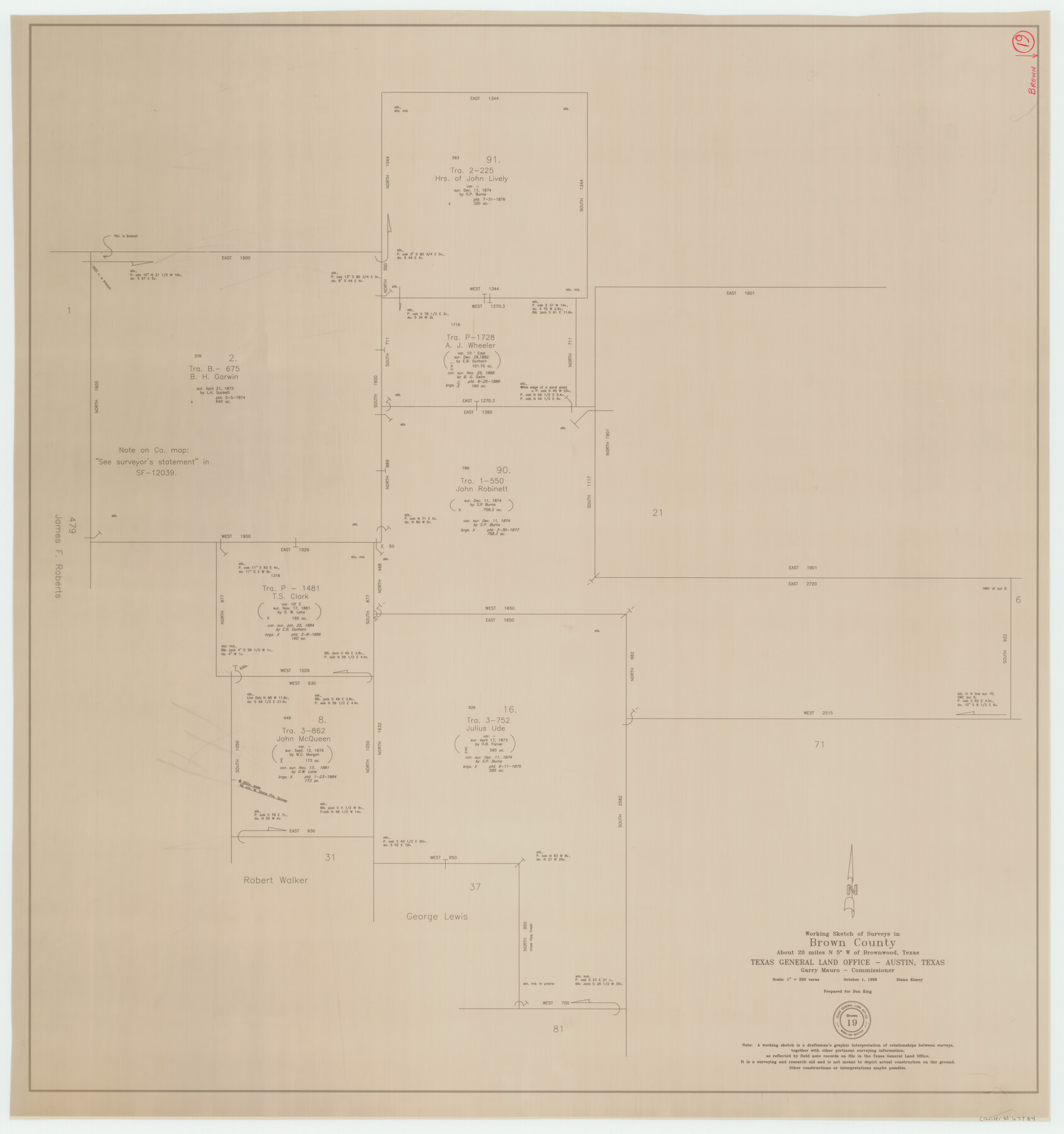
Brown County Working Sketch 19
-
Map/Doc
67784
-
Collection
General Map Collection
-
Object Dates
10/1/1998 (Creation Date)
-
People and Organizations
Diana Kimey (Draftsman)
-
Counties
Brown
-
Subjects
Surveying Working Sketch
-
Height x Width
37.1 x 34.8 inches
94.2 x 88.4 cm
-
Scale
1" = 200 varas
Part of: General Map Collection
In the Supreme Court of the United States, The State of Oklahoma, Complainant vs. The State of Texas, Defendant, The United States of America, Intervener, Red River Valley, Texas and Oklahoma Between the 98th and 100th Meridians in Five Sheets, 1921

Print $40.00
- Digital $50.00
In the Supreme Court of the United States, The State of Oklahoma, Complainant vs. The State of Texas, Defendant, The United States of America, Intervener, Red River Valley, Texas and Oklahoma Between the 98th and 100th Meridians in Five Sheets, 1921
1921
Size 37.7 x 60.2 inches
Map/Doc 75277
Irion County Working Sketch 11

Print $20.00
- Digital $50.00
Irion County Working Sketch 11
1959
Size 43.6 x 30.6 inches
Map/Doc 66420
Montgomery County Working Sketch 61

Print $20.00
- Digital $50.00
Montgomery County Working Sketch 61
1963
Size 25.6 x 19.9 inches
Map/Doc 71168
Cottle County Rolled Sketch 15

Print $20.00
- Digital $50.00
Cottle County Rolled Sketch 15
2004
Size 37.2 x 37.2 inches
Map/Doc 82849
Bowie County Working Sketch 16

Print $20.00
- Digital $50.00
Bowie County Working Sketch 16
1961
Size 17.8 x 17.2 inches
Map/Doc 67420
Hudspeth County Working Sketch 31

Print $40.00
- Digital $50.00
Hudspeth County Working Sketch 31
1972
Size 56.6 x 38.9 inches
Map/Doc 66315
El Paso County Rolled Sketch 52

Print $20.00
- Digital $50.00
El Paso County Rolled Sketch 52
1929
Size 18.4 x 24.4 inches
Map/Doc 5845
Flight Mission No. BQY-15M, Frame 16, Harris County

Print $20.00
- Digital $50.00
Flight Mission No. BQY-15M, Frame 16, Harris County
1953
Size 18.6 x 22.4 inches
Map/Doc 85314
Culberson County Working Sketch 78

Print $40.00
- Digital $50.00
Culberson County Working Sketch 78
1976
Size 51.8 x 36.2 inches
Map/Doc 68532
Harris County Working Sketch 118

Print $20.00
- Digital $50.00
Harris County Working Sketch 118
1984
Size 24.1 x 34.8 inches
Map/Doc 66010

Dimmit County Rolled Sketch 8

Print $20.00
- Digital $50.00
Dimmit County Rolled Sketch 8
1941
Size 30.0 x 29.6 inches
Map/Doc 5718
You may also like
Culberson County Working Sketch 1

Print $20.00
- Digital $50.00
Culberson County Working Sketch 1
Size 21.6 x 42.7 inches
Map/Doc 68453
Flight Mission No. CRE-1R, Frame 122, Jackson County

Print $20.00
- Digital $50.00
Flight Mission No. CRE-1R, Frame 122, Jackson County
1956
Size 16.2 x 16.0 inches
Map/Doc 85333

Webb County Sketch File 16

Print $20.00
- Digital $50.00
Webb County Sketch File 16
Size 37.1 x 24.5 inches
Map/Doc 12635
Map of Taylor County Travis- Young- Bexar- Land District

Print $20.00
- Digital $50.00
Map of Taylor County Travis- Young- Bexar- Land District
1859
Size 25.1 x 20.4 inches
Map/Doc 4071
Flight Mission No. BRE-3P, Frame 79, Nueces County

Print $20.00
- Digital $50.00
Flight Mission No. BRE-3P, Frame 79, Nueces County
1956
Size 18.6 x 22.5 inches
Map/Doc 86820
G.C. & S.F. Ry. Main Line, Texas, Right of Way Map, Keeler to Haslet

Print $40.00
- Digital $50.00
G.C. & S.F. Ry. Main Line, Texas, Right of Way Map, Keeler to Haslet
1916
Size 25.1 x 122.6 inches
Map/Doc 64545
Brazos River, Brazos River Sheet 3

Print $20.00
- Digital $50.00
Brazos River, Brazos River Sheet 3
1926
Size 27.4 x 39.7 inches
Map/Doc 69667
Flight Mission No. CUG-3P, Frame 93, Kleberg County

Print $20.00
- Digital $50.00
Flight Mission No. CUG-3P, Frame 93, Kleberg County
1956
Size 18.5 x 22.2 inches
Map/Doc 86263
Part of Laguna Madre in Cameron County, showing Subdivision for Mineral Development

Print $20.00
- Digital $50.00
Part of Laguna Madre in Cameron County, showing Subdivision for Mineral Development
1953
Size 33.0 x 21.9 inches
Map/Doc 1927
Flight Mission No. CUG-3P, Frame 135, Kleberg County

Print $20.00
- Digital $50.00
Flight Mission No. CUG-3P, Frame 135, Kleberg County
1956
Size 18.7 x 22.3 inches
Map/Doc 86270
United States of America, compiled from the latest & best authorities by John Melish, 1820

Print $20.00
- Digital $50.00
United States of America, compiled from the latest & best authorities by John Melish, 1820
1820
Size 16.7 x 20.2 inches
Map/Doc 89220