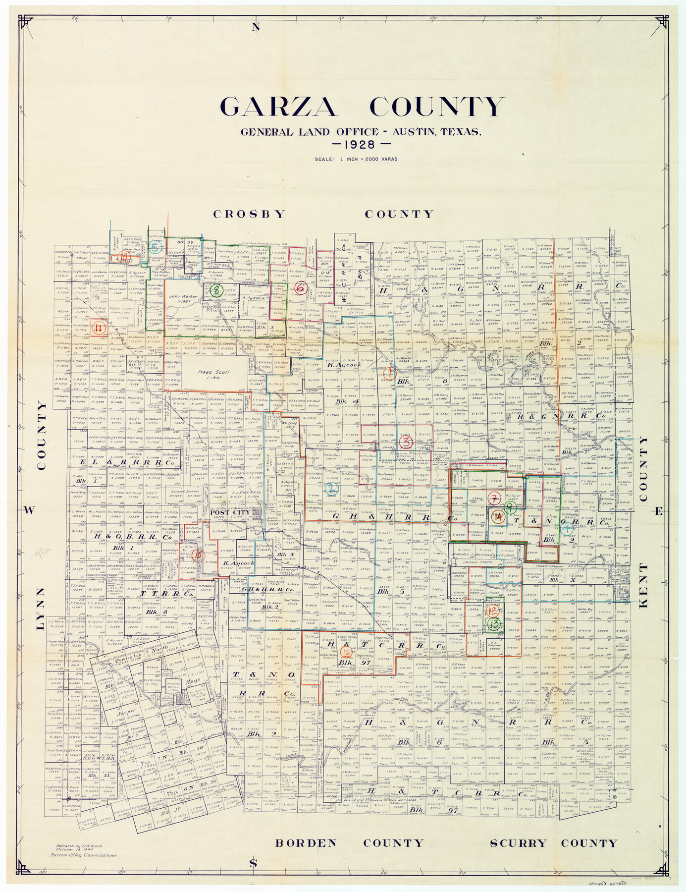
Garza County Working Sketch Graphic Index
-
Map/Doc
76552
-
Collection
General Map Collection
-
Object Dates
1928 (Creation Date)
-
Counties
Garza
-
Subjects
County Surveying Working Sketch
-
Height x Width
46.7 x 36.2 inches
118.6 x 92.0 cm
-
Scale
1" = 2000 varas
Part of: General Map Collection
Galveston County Rolled Sketch 46A

Print $20.00
- Digital $50.00
Galveston County Rolled Sketch 46A
2000
Size 24.9 x 37.6 inches
Map/Doc 5982
Flight Mission No. DAG-19K, Frame 64, Matagorda County

Print $20.00
- Digital $50.00
Flight Mission No. DAG-19K, Frame 64, Matagorda County
1952
Size 16.3 x 16.3 inches
Map/Doc 86391
Map of Robertson County

Print $20.00
- Digital $50.00
Map of Robertson County
1888
Size 29.1 x 23.9 inches
Map/Doc 83004
Pecos County Sketch File 100

Print $20.00
- Digital $50.00
Pecos County Sketch File 100
1959
Size 16.4 x 29.9 inches
Map/Doc 12186
San Augustine County Working Sketch 21

Print $40.00
- Digital $50.00
San Augustine County Working Sketch 21
1973
Size 56.1 x 47.4 inches
Map/Doc 63709
Kent County Sketch File 8

Print $20.00
- Digital $50.00
Kent County Sketch File 8
Size 19.0 x 40.8 inches
Map/Doc 10515
Montgomery County Working Sketch 43

Print $20.00
- Digital $50.00
Montgomery County Working Sketch 43
1956
Size 29.9 x 25.9 inches
Map/Doc 71150
Hunt County Sketch File 36

Print $6.00
- Digital $50.00
Hunt County Sketch File 36
1879
Size 8.0 x 6.9 inches
Map/Doc 27150
Lake Corpus Christi and a city map of Mathis, Texas [Verso]
![94171, Lake Corpus Christi and a city map of Mathis, Texas [Verso], General Map Collection](https://historictexasmaps.com/wmedia_w700/maps/94171.tif.jpg)
Lake Corpus Christi and a city map of Mathis, Texas [Verso]
1984
Size 29.3 x 22.9 inches
Map/Doc 94171
Railroad and County Map of Texas

Print $20.00
- Digital $50.00
Railroad and County Map of Texas
1906
Size 46.0 x 47.6 inches
Map/Doc 10748
Swisher County Working Sketch 6

Print $20.00
- Digital $50.00
Swisher County Working Sketch 6
1979
Size 23.2 x 19.7 inches
Map/Doc 62417
Copy of Surveyor's Field Book, Morris Browning - In Blocks 7, 5 & 4, I&GNRRCo., Hutchinson and Carson Counties, Texas

Print $2.00
- Digital $50.00
Copy of Surveyor's Field Book, Morris Browning - In Blocks 7, 5 & 4, I&GNRRCo., Hutchinson and Carson Counties, Texas
1888
Size 6.9 x 8.8 inches
Map/Doc 62280
You may also like
Live Oak County Sketch File 14

Print $4.00
- Digital $50.00
Live Oak County Sketch File 14
1882
Size 13.3 x 8.8 inches
Map/Doc 30278
Intracoastal Waterway in Texas - Corpus Christi to Point Isabel including Arroyo Colorado to Mo. Pac. R.R. Bridge Near Harlingen

Print $20.00
- Digital $50.00
Intracoastal Waterway in Texas - Corpus Christi to Point Isabel including Arroyo Colorado to Mo. Pac. R.R. Bridge Near Harlingen
1933
Size 28.2 x 40.8 inches
Map/Doc 61852
General Highway Map, Franklin County, Morris County, Titus County, Camp County

Print $20.00
General Highway Map, Franklin County, Morris County, Titus County, Camp County
1940
Size 18.4 x 25.1 inches
Map/Doc 79040
Flight Mission No. CLL-1N, Frame 188, Willacy County

Print $20.00
- Digital $50.00
Flight Mission No. CLL-1N, Frame 188, Willacy County
1954
Size 18.4 x 22.0 inches
Map/Doc 87058
Uvalde County

Print $20.00
- Digital $50.00
Uvalde County
1976
Size 43.0 x 46.3 inches
Map/Doc 95660
Runnels County Sketch File 40

Print $20.00
Runnels County Sketch File 40
1891
Size 37.7 x 14.3 inches
Map/Doc 10594
Flight Mission No. DQO-8K, Frame 20, Galveston County

Print $20.00
- Digital $50.00
Flight Mission No. DQO-8K, Frame 20, Galveston County
1952
Size 18.8 x 22.3 inches
Map/Doc 85143
Runnels County Working Sketch 8

Print $20.00
- Digital $50.00
Runnels County Working Sketch 8
1948
Size 38.4 x 37.1 inches
Map/Doc 63604
[Surveys in McMullen and McGloin's Colony along the San Antonio River]
![30, [Surveys in McMullen and McGloin's Colony along the San Antonio River], General Map Collection](https://historictexasmaps.com/wmedia_w700/maps/30-1.tif.jpg)
Print $20.00
- Digital $50.00
[Surveys in McMullen and McGloin's Colony along the San Antonio River]
1828
Size 19.3 x 24.5 inches
Map/Doc 30
Novissima et Accuratissima Totius Americae Descriptio

Print $20.00
- Digital $50.00
Novissima et Accuratissima Totius Americae Descriptio
1677
Size 20.9 x 25.0 inches
Map/Doc 93819

A General Map of the Middle British Colonies, in America. containing Virginia, Maryland, the Delaware Counties, Pennsylvania and New Jersey. With the addition of New York and of the Greatest Part of New England

Print $20.00
- Digital $50.00
A General Map of the Middle British Colonies, in America. containing Virginia, Maryland, the Delaware Counties, Pennsylvania and New Jersey. With the addition of New York and of the Greatest Part of New England
1776
Size 21.6 x 27.2 inches
Map/Doc 97402