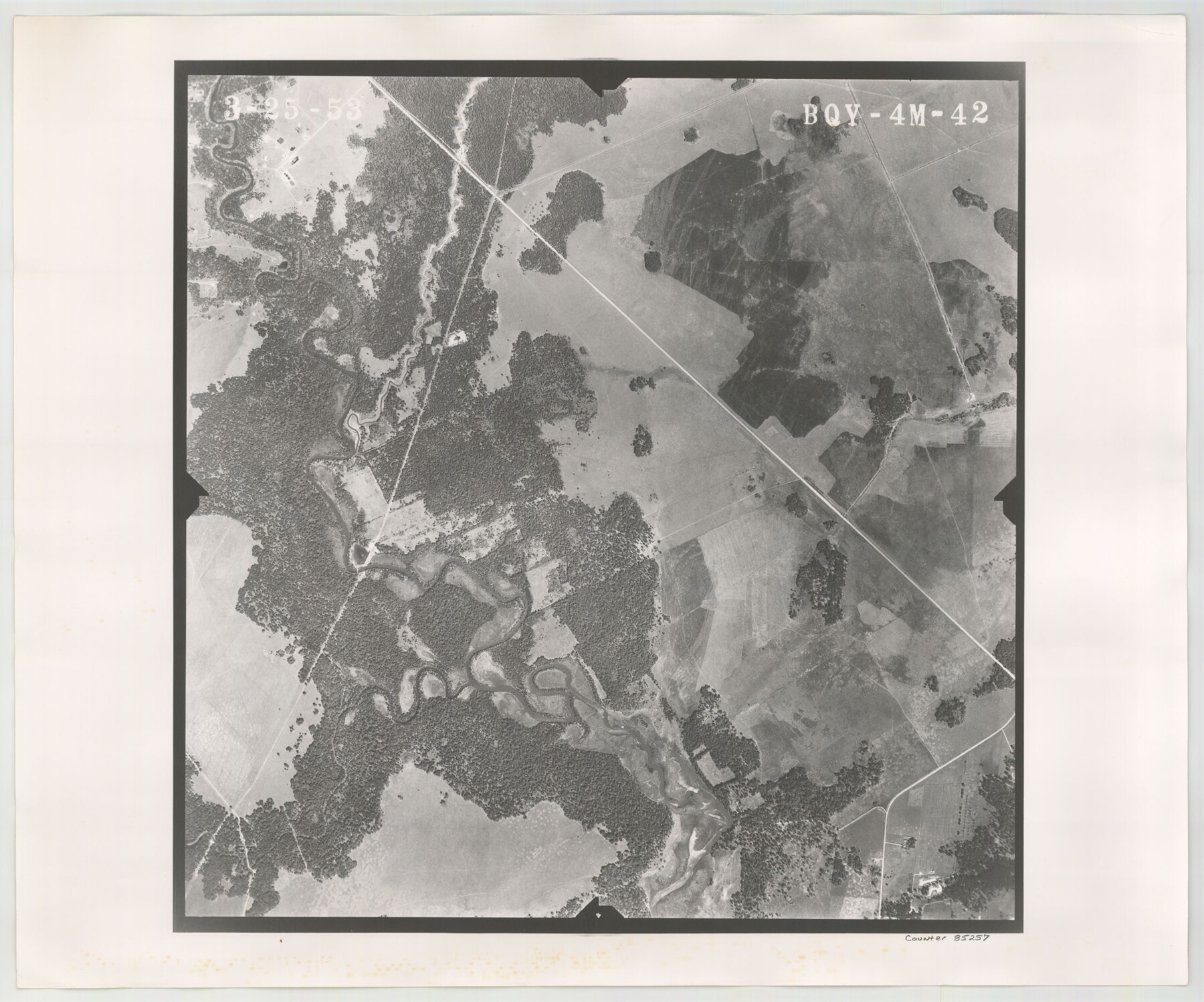
Flight Mission No. BQY-4M, Frame 42, Harris County
BQY-4M-42
-
Map/Doc
85257
-
Collection
General Map Collection
-
Object Dates
1953/3/25 (Creation Date)
-
People and Organizations
U. S. Department of Agriculture (Publisher)
-
Counties
Harris
-
Subjects
Aerial Photograph
-
Height x Width
18.7 x 22.4 inches
47.5 x 56.9 cm
-
Comments
Flown by Jack Ammann Photogrammetric Engineers of San Antonio, Texas.
Part of: General Map Collection
Flight Mission No. BRA-7M, Frame 17, Jefferson County

Print $20.00
- Digital $50.00
Flight Mission No. BRA-7M, Frame 17, Jefferson County
1953
Size 18.6 x 22.4 inches
Map/Doc 85468
Duval County Sketch File 64

Print $6.00
- Digital $50.00
Duval County Sketch File 64
1942
Size 14.2 x 9.0 inches
Map/Doc 21438
Menard County

Print $20.00
- Digital $50.00
Menard County
1942
Size 40.1 x 43.7 inches
Map/Doc 66928
Maverick County Rolled Sketch 18

Print $20.00
- Digital $50.00
Maverick County Rolled Sketch 18
1946
Size 35.6 x 21.5 inches
Map/Doc 6711
Flight Mission No. BQR-12K, Frame 51, Brazoria County

Print $20.00
- Digital $50.00
Flight Mission No. BQR-12K, Frame 51, Brazoria County
1952
Size 18.8 x 22.4 inches
Map/Doc 84066
Flight Mission No. DCL-6C, Frame 76, Kenedy County

Print $20.00
- Digital $50.00
Flight Mission No. DCL-6C, Frame 76, Kenedy County
1943
Size 18.6 x 22.3 inches
Map/Doc 85918
Gray County Sketch File B3

Print $8.00
- Digital $50.00
Gray County Sketch File B3
1880
Size 13.0 x 8.5 inches
Map/Doc 24411
General Chart of the Coast No. XVI - Gulf Coast from Galveston to the Rio Grande

Print $20.00
- Digital $50.00
General Chart of the Coast No. XVI - Gulf Coast from Galveston to the Rio Grande
1883
Size 26.8 x 18.1 inches
Map/Doc 72737
Jasper County Working Sketch 24

Print $40.00
- Digital $50.00
Jasper County Working Sketch 24
1948
Size 46.9 x 56.2 inches
Map/Doc 66486
Cass County Working Sketch 44

Print $20.00
- Digital $50.00
Cass County Working Sketch 44
1989
Size 21.3 x 30.3 inches
Map/Doc 67947
Gillespie County Working Sketch 14

Print $20.00
- Digital $50.00
Gillespie County Working Sketch 14
2011
Size 36.6 x 36.6 inches
Map/Doc 90096
Crosby County Sketch File 11a

Print $10.00
- Digital $50.00
Crosby County Sketch File 11a
1894
Size 8.7 x 4.4 inches
Map/Doc 20029
You may also like
Aransas County Rolled Sketch 24

Print $20.00
- Digital $50.00
Aransas County Rolled Sketch 24
Size 22.5 x 34.8 inches
Map/Doc 77495

Amistad International Reservoir on Rio Grande 96

Print $20.00
- Digital $50.00
Amistad International Reservoir on Rio Grande 96
1950
Size 28.5 x 41.0 inches
Map/Doc 75527
Flight Mission No. BRA-16M, Frame 66, Jefferson County

Print $20.00
- Digital $50.00
Flight Mission No. BRA-16M, Frame 66, Jefferson County
1953
Size 18.6 x 22.3 inches
Map/Doc 85683
[Sketch for Mineral Application 13439 - Bed Lost Lake, Walle Merritt]
![65578, [Sketch for Mineral Application 13439 - Bed Lost Lake, Walle Merritt], General Map Collection](https://historictexasmaps.com/wmedia_w700/maps/65578.tif.jpg)
Print $20.00
- Digital $50.00
[Sketch for Mineral Application 13439 - Bed Lost Lake, Walle Merritt]
1925
Size 31.0 x 29.6 inches
Map/Doc 65578
Randall County Rolled Sketch 5

Print $20.00
- Digital $50.00
Randall County Rolled Sketch 5
1945
Size 29.7 x 17.6 inches
Map/Doc 7425
Trinity County Sketch File 15

Print $6.00
- Digital $50.00
Trinity County Sketch File 15
Size 14.5 x 10.4 inches
Map/Doc 38542
Nueces County Sketch File 59

Print $23.00
- Digital $50.00
Nueces County Sketch File 59
1989
Size 11.2 x 8.6 inches
Map/Doc 32951
Presidio County Sketch File E

Print $20.00
- Digital $50.00
Presidio County Sketch File E
Size 15.9 x 20.0 inches
Map/Doc 11702
Reeves County Working Sketch 4

Print $20.00
- Digital $50.00
Reeves County Working Sketch 4
1922
Size 32.5 x 33.1 inches
Map/Doc 63446
Hansford County Sketch File 10

Print $6.00
- Digital $50.00
Hansford County Sketch File 10
1931
Size 8.2 x 8.5 inches
Map/Doc 24969
Garden City Townsite, Section 5, Range 4 South, Block 33

Print $2.00
- Digital $50.00
Garden City Townsite, Section 5, Range 4 South, Block 33
1886
Size 9.0 x 15.4 inches
Map/Doc 90761