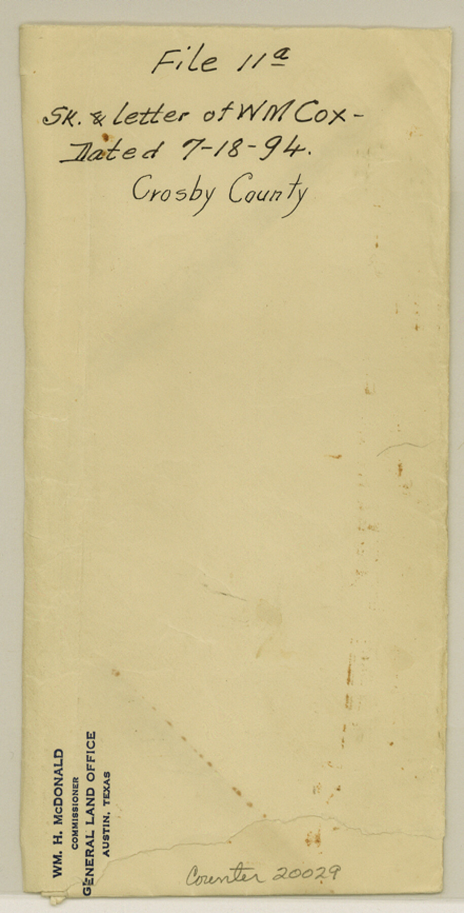
Crosby County Sketch File 11a
[Sketch and letter from William Cox]
-
Map/Doc
20029
-
Collection
General Map Collection
-
Object Dates
1894/7/18 (Creation Date)
-
People and Organizations
M.M. Cox (Surveyor/Engineer)
-
Counties
Crosby
-
Subjects
Surveying Sketch File
-
Height x Width
8.7 x 4.4 inches
22.1 x 11.2 cm
-
Medium
paper, manuscript
-
Features
Dewe's [sic] Lake
Part of: General Map Collection

Bandera County Working Sketch 5

Print $3.00
- Digital $50.00
Bandera County Working Sketch 5
1915
Size 12.0 x 9.0 inches
Map/Doc 67598
Flight Mission No. BRE-2P, Frame 94, Nueces County

Print $20.00
- Digital $50.00
Flight Mission No. BRE-2P, Frame 94, Nueces County
1956
Size 18.6 x 22.3 inches
Map/Doc 86779
Tyler County Sketch File 17b

Print $4.00
- Digital $50.00
Tyler County Sketch File 17b
Size 12.0 x 8.0 inches
Map/Doc 38666
Maverick County Working Sketch 19

Print $40.00
- Digital $50.00
Maverick County Working Sketch 19
1975
Size 56.2 x 44.0 inches
Map/Doc 70911
Galveston County NRC Article 33.136 Sketch 90

Print $144.00
- Digital $50.00
Galveston County NRC Article 33.136 Sketch 90
2021
Map/Doc 96930
Coleman County Sketch File 47

Print $12.00
- Digital $50.00
Coleman County Sketch File 47
1897
Size 14.1 x 8.6 inches
Map/Doc 18793
Duval County Boundary File 3b

Print $4.00
- Digital $50.00
Duval County Boundary File 3b
Size 12.9 x 8.2 inches
Map/Doc 52730
Crane County Sketch File A10

Print $20.00
- Digital $50.00
Crane County Sketch File A10
Size 18.0 x 24.7 inches
Map/Doc 11214
Pecos County Sketch File 47

Print $8.00
- Digital $50.00
Pecos County Sketch File 47
1935
Size 11.4 x 8.5 inches
Map/Doc 33759
Map of the Middle States and part of the Southern engraved to illustrate Mitchell's school and family geography

Print $20.00
- Digital $50.00
Map of the Middle States and part of the Southern engraved to illustrate Mitchell's school and family geography
1839
Size 17.8 x 11.8 inches
Map/Doc 93496
Matagorda County Rolled Sketch 37C

Print $20.00
- Digital $50.00
Matagorda County Rolled Sketch 37C
Size 11.6 x 14.3 inches
Map/Doc 10197
You may also like
Smith County Working Sketch 2

Print $20.00
- Digital $50.00
Smith County Working Sketch 2
Size 16.3 x 13.1 inches
Map/Doc 63887
Harris County Working Sketch 84

Print $20.00
- Digital $50.00
Harris County Working Sketch 84
1970
Size 36.2 x 33.7 inches
Map/Doc 65976
San Patricio County Rolled Sketch BB

Print $40.00
- Digital $50.00
San Patricio County Rolled Sketch BB
1936
Size 25.0 x 49.0 inches
Map/Doc 9889
Sketch of the route taken by a scouting party from Phantom Hill to Double Mountain, Texas

Print $20.00
- Digital $50.00
Sketch of the route taken by a scouting party from Phantom Hill to Double Mountain, Texas
1852
Size 25.3 x 13.4 inches
Map/Doc 2006
Wichita County Sketch File R

Print $8.00
- Digital $50.00
Wichita County Sketch File R
Size 14.3 x 8.8 inches
Map/Doc 40142
Flight Mission No. DQN-2K, Frame 196, Calhoun County

Print $20.00
- Digital $50.00
Flight Mission No. DQN-2K, Frame 196, Calhoun County
1953
Size 16.3 x 16.1 inches
Map/Doc 84335
Newton County Working Sketch 34

Print $20.00
- Digital $50.00
Newton County Working Sketch 34
1959
Size 27.0 x 32.6 inches
Map/Doc 71280
Val Verde County Working Sketch 108

Print $20.00
- Digital $50.00
Val Verde County Working Sketch 108
1988
Size 31.1 x 41.3 inches
Map/Doc 72243
Ward County Working Sketch 30

Print $40.00
- Digital $50.00
Ward County Working Sketch 30
1964
Size 118.5 x 43.4 inches
Map/Doc 72336
Jeff Davis County Boundary File 2

Print $14.00
- Digital $50.00
Jeff Davis County Boundary File 2
Size 14.3 x 8.8 inches
Map/Doc 55505
Edwards County Working Sketch 25

Print $20.00
- Digital $50.00
Edwards County Working Sketch 25
1942
Size 22.6 x 20.8 inches
Map/Doc 68901
Bell County Sketch File 19a

Print $4.00
- Digital $50.00
Bell County Sketch File 19a
Size 8.1 x 8.7 inches
Map/Doc 14404