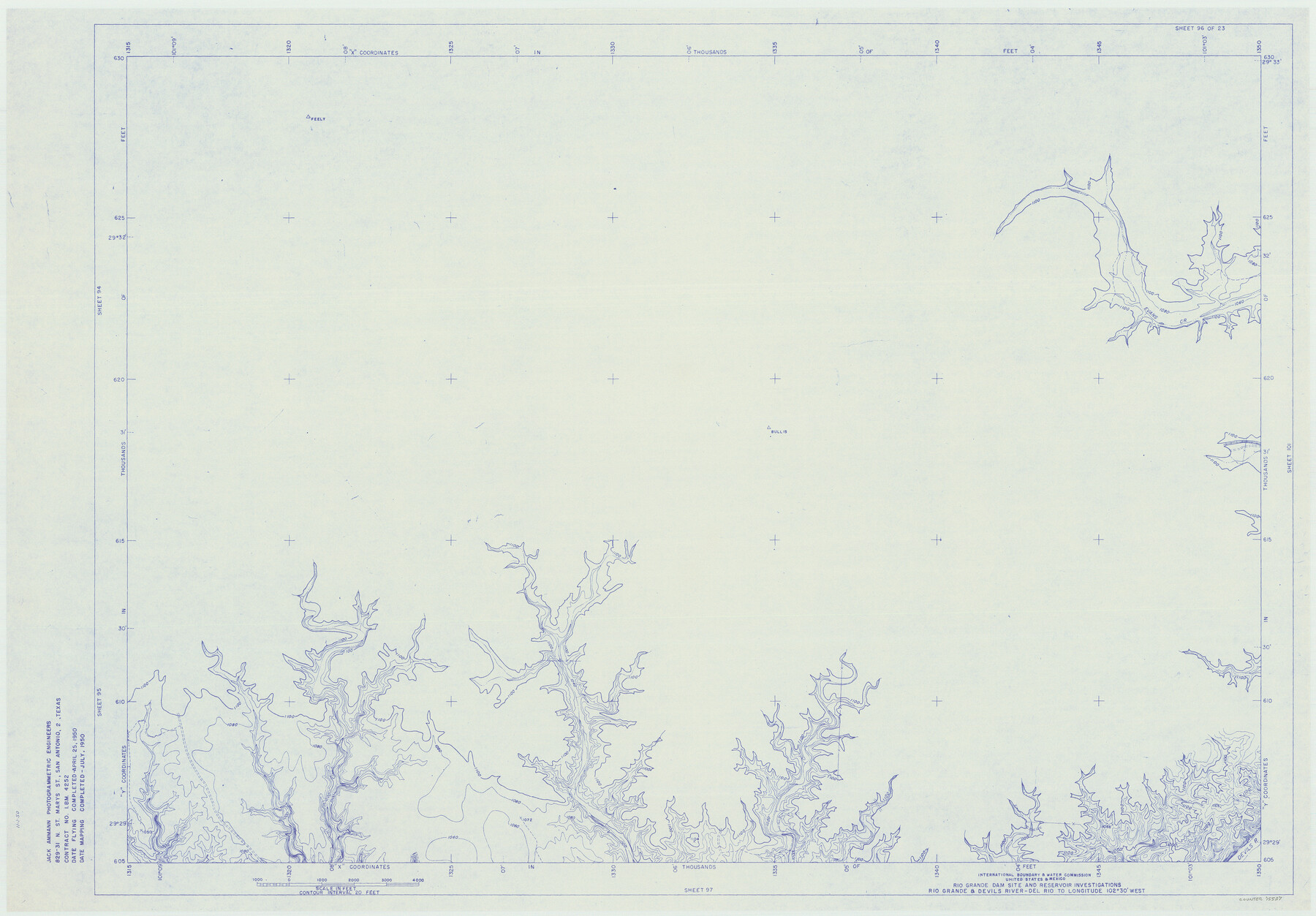
Amistad International Reservoir on Rio Grande 96
Rio Grande Dam Site and Reservoir Investigations
-
Map/Doc
75527
-
Collection
General Map Collection
-
Object Dates
1950 (Creation Date)
-
People and Organizations
International Boundary and Water Commission (Publisher)
Jack Ammann Photogrammetric Engineers (Surveyor/Engineer)
-
Counties
Val Verde
-
Subjects
Texas Boundaries Topographic
-
Height x Width
28.5 x 41.0 inches
72.4 x 104.1 cm
-
Medium
blueline
-
Comments
Rio Grande and Devil's River - Del Rio to Longitude 102 degrees 30 minutes West.
Part of: General Map Collection
Upton County Working Sketch 52

Print $20.00
- Digital $50.00
Upton County Working Sketch 52
1983
Size 20.9 x 20.2 inches
Map/Doc 69549
Lubbock County Sketch File 4 and A

Print $40.00
- Digital $50.00
Lubbock County Sketch File 4 and A
Size 22.7 x 29.8 inches
Map/Doc 12016
Crockett County Rolled Sketch 37

Print $20.00
- Digital $50.00
Crockett County Rolled Sketch 37
Size 36.7 x 29.3 inches
Map/Doc 5589
Flight Mission No. BQY-4M, Frame 117, Harris County

Print $20.00
- Digital $50.00
Flight Mission No. BQY-4M, Frame 117, Harris County
1953
Size 18.5 x 22.3 inches
Map/Doc 85284
Webb County Working Sketch 21

Print $20.00
- Digital $50.00
Webb County Working Sketch 21
1926
Size 28.7 x 24.7 inches
Map/Doc 72386
Hamilton County Sketch File 22

Print $2.00
- Digital $50.00
Hamilton County Sketch File 22
Size 6.8 x 5.5 inches
Map/Doc 24947
Flight Mission No. BQR-22K, Frame 36, Brazoria County

Print $20.00
- Digital $50.00
Flight Mission No. BQR-22K, Frame 36, Brazoria County
1953
Size 18.6 x 22.4 inches
Map/Doc 84120
Gaines County Sketch File 10

Print $40.00
- Digital $50.00
Gaines County Sketch File 10
Size 16.4 x 14.0 inches
Map/Doc 23193
Flight Mission No. CLL-1N, Frame 107, Willacy County

Print $20.00
- Digital $50.00
Flight Mission No. CLL-1N, Frame 107, Willacy County
1954
Size 18.5 x 22.1 inches
Map/Doc 87041
Calhoun County Working Sketch 14

Print $20.00
- Digital $50.00
Calhoun County Working Sketch 14
1991
Size 28.7 x 33.9 inches
Map/Doc 67830
Cooke County Working Sketch 13

Print $20.00
- Digital $50.00
Cooke County Working Sketch 13
1944
Size 29.1 x 38.2 inches
Map/Doc 68250
Flight Mission No. DAG-18K, Frame 184, Matagorda County

Print $20.00
- Digital $50.00
Flight Mission No. DAG-18K, Frame 184, Matagorda County
1952
Size 18.6 x 22.4 inches
Map/Doc 86376
You may also like
Brazoria County NRC Article 33.136 Sketch 17

Print $88.00
- Digital $50.00
Brazoria County NRC Article 33.136 Sketch 17
2015
Size 22.0 x 34.0 inches
Map/Doc 95020
Presidio County Rolled Sketch 91

Print $20.00
- Digital $50.00
Presidio County Rolled Sketch 91
Size 15.1 x 29.4 inches
Map/Doc 7376
From Citizens of Austin and Harris Counties Living in What Was to Become Fort Bend County for the Creation of a New County (Unnamed), Undated

Print $20.00
From Citizens of Austin and Harris Counties Living in What Was to Become Fort Bend County for the Creation of a New County (Unnamed), Undated
2020
Size 22.6 x 21.7 inches
Map/Doc 96399
From Citizens Living in Washington County for the Creation of a New County to be Called Washington, Undated

Print $20.00
From Citizens Living in Washington County for the Creation of a New County to be Called Washington, Undated
2020
Size 17.0 x 21.7 inches
Map/Doc 96406
Liberty County Sketch File 10

Print $4.00
- Digital $50.00
Liberty County Sketch File 10
1858
Size 9.5 x 8.9 inches
Map/Doc 29903
Polk County Working Sketch 23b

Print $40.00
- Digital $50.00
Polk County Working Sketch 23b
1957
Size 28.8 x 54.6 inches
Map/Doc 71639
Duval County Sketch File 71

Print $4.00
- Digital $50.00
Duval County Sketch File 71
1953
Size 15.2 x 9.0 inches
Map/Doc 21458
Map of [Coleman County]
![3413, Map of [Coleman County], General Map Collection](https://historictexasmaps.com/wmedia_w700/maps/3413-1.tif.jpg)
Print $20.00
- Digital $50.00
Map of [Coleman County]
1878
Size 24.9 x 21.9 inches
Map/Doc 3413
Flight Mission No. DQO-11K, Frame 23, Galveston County

Print $20.00
- Digital $50.00
Flight Mission No. DQO-11K, Frame 23, Galveston County
1952
Size 18.8 x 22.4 inches
Map/Doc 85220
San Luis Pass to Matagorda Bay

Print $20.00
- Digital $50.00
San Luis Pass to Matagorda Bay
1933
Size 34.3 x 47.3 inches
Map/Doc 69960
Shores of Laguna Madre, Texas from Triangulation Station Peat ID to Crane Islands

Print $40.00
- Digital $50.00
Shores of Laguna Madre, Texas from Triangulation Station Peat ID to Crane Islands
1882
Size 33.7 x 54.6 inches
Map/Doc 73481
Liberty County Working Sketch 31

Print $20.00
- Digital $50.00
Liberty County Working Sketch 31
1942
Size 23.1 x 42.9 inches
Map/Doc 70490