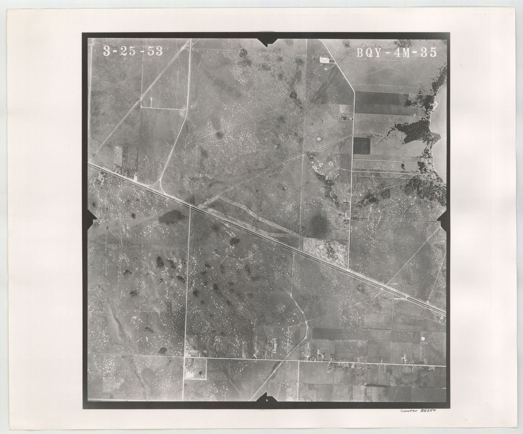
Flight Mission No. BQY-4M, Frame 35, Harris County
BQY-4M-35
- 
                          Map/Doc85250
- 
                            CollectionGeneral Map Collection
- 
                            Object Dates1953/3/25 (Creation Date)
- 
                            People and OrganizationsU. S. Department of Agriculture (Publisher)
- 
                            CountiesHarris
- 
                            SubjectsAerial Photograph
- 
                            Height x Width18.7 x 22.5 inches47.5 x 57.2 cm
- 
                            CommentsFlown by Jack Ammann Photogrammetric Engineers of San Antonio, Texas.
Part of: General Map Collection
            Map from the Sabine River to the Rio Grande as subdivided for mineral development


                                            Print $20.00                    
                                             -                         Digital $50.00                                    
                Map from the Sabine River to the Rio Grande as subdivided for mineral development
Size 30.6 x 44.8 inches
                                Map/Doc 65801
            
            St. Louis, Brownsville & Mexico Railway Location Map from Mile 20 to Mile 40


                                            Print $40.00                    
                                             -                         Digital $50.00                                    
                St. Louis, Brownsville & Mexico Railway Location Map from Mile 20 to Mile 40
1906
Size 19.3 x 67.5 inches
                                Map/Doc 64077
            
            Hutchinson County Sketch File 21


                                            Print $22.00                    
                                             -                         Digital $50.00                                    
                Hutchinson County Sketch File 21
Size 8.8 x 7.9 inches
                                Map/Doc 27242
            
            [Beaumont, Sour Lake and Western Ry. Right of Way and Alignment - Frisco]
            
                                    ![64118, [Beaumont, Sour Lake and Western Ry. Right of Way and Alignment - Frisco], General Map Collection](https://historictexasmaps.com/wmedia_w700/maps/64118.tif.jpg) 


    ![64118, [Beaumont, Sour Lake and Western Ry. Right of Way and Alignment - Frisco], General Map Collection](https://historictexasmaps.com/wmedia_w700/maps/64118.tif.jpg) 
                                
            
                                            Print $20.00                    
                                             -                         Digital $50.00                                    
                [Beaumont, Sour Lake and Western Ry. Right of Way and Alignment - Frisco]
1910
Size 20.1 x 46.1 inches
                                Map/Doc 64118
            
            San Patricio County Rolled Sketch 45


                                            Print $20.00                    
                                             -                         Digital $50.00                                    
                San Patricio County Rolled Sketch 45
1979
Size 24.0 x 33.5 inches
                                Map/Doc 7729
            
            Newton County Working Sketch 44


                                            Print $20.00                    
                                             -                         Digital $50.00                                    
                Newton County Working Sketch 44
1992
Size 19.2 x 24.6 inches
                                Map/Doc 71290
            
            Crane County Working Sketch 14


                                            Print $20.00                    
                                             -                         Digital $50.00                                    
                Crane County Working Sketch 14
1946
Size 16.0 x 22.3 inches
                                Map/Doc 68291
            
            Zavala County Sketch File 1


                                            Print $20.00                    
                                             -                         Digital $50.00                                    
                Zavala County Sketch File 1
Size 28.5 x 22.7 inches
                                Map/Doc 12725
            
            Shackelford County Working Sketch 8


                                            Print $20.00                    
                                             -                         Digital $50.00                                    
                Shackelford County Working Sketch 8
1973
Size 31.9 x 28.7 inches
                                Map/Doc 63848
            
            Grayson County Sketch File 24


                                            Print $4.00                    
                                             -                         Digital $50.00                                    
                Grayson County Sketch File 24
1872
Size 8.1 x 10.0 inches
                                Map/Doc 24505
            
            Map of the Public Land States and Territories constructed from the Public Surveys and other official sources in the General Land Office


                                            Print $20.00                    
                                             -                         Digital $50.00                                    
                Map of the Public Land States and Territories constructed from the Public Surveys and other official sources in the General Land Office
Size 31.0 x 46.6 inches
                                Map/Doc 94152
            
            Reagan County Rolled Sketch 12


                                            Print $20.00                    
                                             -                         Digital $50.00                                    
                Reagan County Rolled Sketch 12
1940
Size 25.9 x 27.0 inches
                                Map/Doc 7440
            You may also like
            Waller County


                                            Print $40.00                    
                                             -                         Digital $50.00                                    
                Waller County
1945
Size 48.9 x 28.4 inches
                                Map/Doc 95665
            
            Flight Mission No. CGI-3N, Frame 69, Cameron County


                                            Print $20.00                    
                                             -                         Digital $50.00                                    
                Flight Mission No. CGI-3N, Frame 69, Cameron County
1954
Size 18.4 x 22.1 inches
                                Map/Doc 84563
            
            Concho County Sketch File 26


                                            Print $6.00                    
                                             -                         Digital $50.00                                    
                Concho County Sketch File 26
1885
Size 11.5 x 9.0 inches
                                Map/Doc 19159
            
            Map of Deaf Smith County, Texas


                                            Print $2.00                    
                                             -                         Digital $50.00                                    
                Map of Deaf Smith County, Texas
Size 11.6 x 8.9 inches
                                Map/Doc 90509
            
            [Sketch showing I. & G. N. Block 8]
            
                                    ![91703, [Sketch showing I. & G. N. Block 8], Twichell Survey Records](https://historictexasmaps.com/wmedia_w700/maps/91703-1.tif.jpg) 


    ![91703, [Sketch showing I. & G. N. Block 8], Twichell Survey Records](https://historictexasmaps.com/wmedia_w700/maps/91703-1.tif.jpg) 
                                
            
                                            Print $2.00                    
                                             -                         Digital $50.00                                    
                [Sketch showing I. & G. N. Block 8]
1919
Size 5.0 x 8.7 inches
                                Map/Doc 91703
            
            Bosque County Working Sketch 29


                                            Print $20.00                    
                                             -                         Digital $50.00                                    
                Bosque County Working Sketch 29
2009
Size 35.9 x 40.6 inches
                                Map/Doc 88997
            
            Map of that part of Comal County in Bexar District


                                            Print $20.00                    
                                             -                         Digital $50.00                                    
                Map of that part of Comal County in Bexar District
Size 16.3 x 22.1 inches
                                Map/Doc 3431
            
            [Galveston, Harrisburg & San Antonio Railroad from Cuero to Stockdale]
            
                                    ![64192, [Galveston, Harrisburg & San Antonio Railroad from Cuero to Stockdale], General Map Collection](https://historictexasmaps.com/wmedia_w700/maps/64192.tif.jpg) 


    ![64192, [Galveston, Harrisburg & San Antonio Railroad from Cuero to Stockdale], General Map Collection](https://historictexasmaps.com/wmedia_w700/maps/64192.tif.jpg) 
                                
            
                                            Print $20.00                    
                                             -                         Digital $50.00                                    
                [Galveston, Harrisburg & San Antonio Railroad from Cuero to Stockdale]
1907
Size 14.1 x 34.1 inches
                                Map/Doc 64192
            
            Hudspeth County Rolled Sketch 40


                                            Print $20.00                    
                                             -                         Digital $50.00                                    
                Hudspeth County Rolled Sketch 40
1937
Size 11.5 x 38.9 inches
                                Map/Doc 9213
            
            FT. W. & R. G. Ry. Right of Way Map, Winchell to Brady, McCulloch County, Texas


                                            Print $20.00                    
                                             -                         Digital $50.00                                    
                FT. W. & R. G. Ry. Right of Way Map, Winchell to Brady, McCulloch County, Texas
1918
Size 36.9 x 32.0 inches
                                Map/Doc 61416
            
            Tarrant County Working Sketch 7


                                            Print $40.00                    
                                             -                         Digital $50.00                                    
                Tarrant County Working Sketch 7
1981
Size 18.9 x 54.3 inches
                                Map/Doc 62424
             
                            