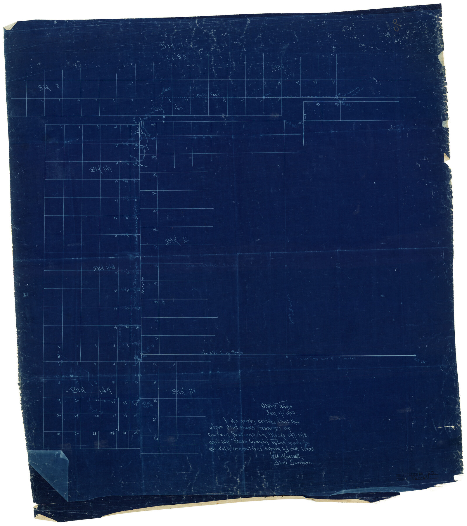
Terrell County Rolled Sketch 22
[Plat of resurvey of certain sections in Blocks 147, 148, and 149]
-
Map/Doc
7930
-
Collection
General Map Collection
-
Object Dates
1/17/1903 (Creation Date)
-
People and Organizations
L.W. Durrell (Surveyor/Engineer)
-
Counties
Terrell
-
Subjects
Surveying Rolled Sketch
-
Height x Width
27.1 x 24.1 inches
68.8 x 61.2 cm
-
Medium
blueprint/diazo
Part of: General Map Collection
Red River County Working Sketch 64

Print $20.00
- Digital $50.00
Red River County Working Sketch 64
1973
Size 26.1 x 32.3 inches
Map/Doc 72047
Flight Mission No. DAG-19K, Frame 56, Matagorda County

Print $20.00
- Digital $50.00
Flight Mission No. DAG-19K, Frame 56, Matagorda County
1952
Size 18.5 x 22.3 inches
Map/Doc 86383
Galveston County Sketch File 29

Print $40.00
- Digital $50.00
Galveston County Sketch File 29
Size 35.1 x 29.3 inches
Map/Doc 10454
Denton County Working Sketch 6

Print $20.00
- Digital $50.00
Denton County Working Sketch 6
1958
Size 21.3 x 33.0 inches
Map/Doc 68611
Map of Taylor County Travis- Young- Bexar- Land District

Print $20.00
- Digital $50.00
Map of Taylor County Travis- Young- Bexar- Land District
1859
Size 25.1 x 20.4 inches
Map/Doc 4071
Brewster County Working Sketch 49

Print $20.00
- Digital $50.00
Brewster County Working Sketch 49
1949
Size 37.1 x 22.6 inches
Map/Doc 67583
Pecos County Working Sketch 118

Print $20.00
- Digital $50.00
Pecos County Working Sketch 118
1973
Size 46.2 x 36.9 inches
Map/Doc 71591
Reeves County

Print $20.00
- Digital $50.00
Reeves County
1915
Size 46.3 x 36.8 inches
Map/Doc 66998
Anderson County Working Sketch 17

Print $40.00
- Digital $50.00
Anderson County Working Sketch 17
1941
Size 30.3 x 48.8 inches
Map/Doc 67017
Presidio County Working Sketch 82

Print $40.00
- Digital $50.00
Presidio County Working Sketch 82
1967
Size 48.6 x 67.2 inches
Map/Doc 71759
Bexar County Sketch File 26

Print $4.00
- Digital $50.00
Bexar County Sketch File 26
1860
Size 8.6 x 10.8 inches
Map/Doc 14488
Harris County Rolled Sketch 95

Print $20.00
- Digital $50.00
Harris County Rolled Sketch 95
1987
Size 34.2 x 27.8 inches
Map/Doc 6134
You may also like
[Plat of Trinity River w/ Midstream Profile in Liberty County by US Government 1899]
![65339, [Plat of Trinity River w/ Midstream Profile in Liberty County by US Government 1899], General Map Collection](https://historictexasmaps.com/wmedia_w700/maps/65339.tif.jpg)
Print $20.00
- Digital $50.00
[Plat of Trinity River w/ Midstream Profile in Liberty County by US Government 1899]
1899
Size 12.8 x 17.6 inches
Map/Doc 65339
Jeff Davis County Working Sketch 40

Print $20.00
- Digital $50.00
Jeff Davis County Working Sketch 40
1981
Size 19.6 x 37.6 inches
Map/Doc 66535
Gregg County Working Sketch 5

Print $20.00
- Digital $50.00
Gregg County Working Sketch 5
1933
Size 18.0 x 42.6 inches
Map/Doc 63271

Brazoria County Working Sketch 13

Print $20.00
- Digital $50.00
Brazoria County Working Sketch 13
1936
Size 21.5 x 33.1 inches
Map/Doc 78194
Map of Rains County

Print $20.00
- Digital $50.00
Map of Rains County
1873
Size 11.9 x 11.2 inches
Map/Doc 3973
Bastrop County Sketch File 11

Print $52.00
- Digital $50.00
Bastrop County Sketch File 11
Size 11.2 x 8.7 inches
Map/Doc 14058
Real County Working Sketch 51

Print $20.00
- Digital $50.00
Real County Working Sketch 51
1957
Size 28.1 x 24.1 inches
Map/Doc 71943
Wood County Sketch File 1

Print $4.00
- Digital $50.00
Wood County Sketch File 1
Size 12.7 x 7.9 inches
Map/Doc 40629
Flight Mission No. CRK-7P, Frame 27, Refugio County

Print $20.00
- Digital $50.00
Flight Mission No. CRK-7P, Frame 27, Refugio County
1956
Size 18.3 x 22.1 inches
Map/Doc 86947
Montgomery County Sketch File 2

Print $8.00
- Digital $50.00
Montgomery County Sketch File 2
1846
Size 12.7 x 8.0 inches
Map/Doc 31764
Coleman County Sketch File 43

Print $12.00
- Digital $50.00
Coleman County Sketch File 43
1892
Size 9.2 x 8.8 inches
Map/Doc 18775