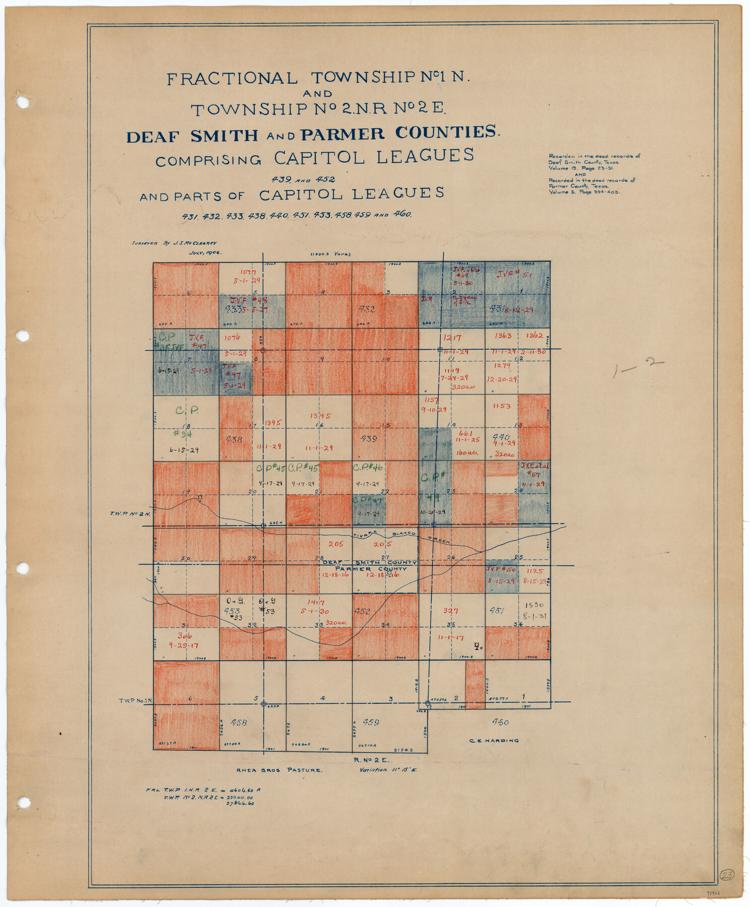
Fractional Township No. 1N and Township No. 2N R. No. 2E, Deaf Smith and Parmer Counties comprising Capitol Leagues 439 and 452 and parts of Capitol Leagues 431, 432, 433, 438, 440, 451, 453, 458, 459, and 460
-
Map/Doc
93966
-
Collection
General Map Collection
-
Object Dates
1906 (Creation Date)
-
People and Organizations
J.S. McClearey (Surveyor/Engineer)
-
Height x Width
27.1 x 22.4 inches
68.8 x 56.9 cm
-
Medium
blueline
Part of: General Map Collection
Anderson County Working Sketch 39

Print $20.00
- Digital $50.00
Anderson County Working Sketch 39
1986
Size 21.6 x 21.8 inches
Map/Doc 67039
Baylor County

Print $20.00
- Digital $50.00
Baylor County
1961
Size 42.5 x 34.8 inches
Map/Doc 73077
Map of Winkler County

Print $20.00
- Digital $50.00
Map of Winkler County
1901
Size 43.1 x 36.6 inches
Map/Doc 4158
Brazoria County Aerial Photograph Index Sheet 7

Print $20.00
- Digital $50.00
Brazoria County Aerial Photograph Index Sheet 7
1953
Size 23.9 x 19.8 inches
Map/Doc 83669
[Beaumont, Sour Lake and Western Ry. Right of Way and Alignment - Frisco]
![64121, [Beaumont, Sour Lake and Western Ry. Right of Way and Alignment - Frisco], General Map Collection](https://historictexasmaps.com/wmedia_w700/maps/64121.tif.jpg)
Print $20.00
- Digital $50.00
[Beaumont, Sour Lake and Western Ry. Right of Way and Alignment - Frisco]
1910
Size 20.0 x 45.8 inches
Map/Doc 64121
Refugio County Sketch File 21

Print $20.00
- Digital $50.00
Refugio County Sketch File 21
1933
Size 17.8 x 22.1 inches
Map/Doc 12248
Garza County Working Sketch 5

Print $20.00
- Digital $50.00
Garza County Working Sketch 5
1943
Size 19.4 x 34.7 inches
Map/Doc 63152

Kerr County Working Sketch 36

Print $20.00
- Digital $50.00
Kerr County Working Sketch 36
1991
Size 32.8 x 35.8 inches
Map/Doc 70067
Freestone County Boundary File 30c

Print $18.00
- Digital $50.00
Freestone County Boundary File 30c
Size 7.9 x 8.8 inches
Map/Doc 53599
Cameron County Rolled Sketch 20B

Print $20.00
- Digital $50.00
Cameron County Rolled Sketch 20B
1960
Size 25.2 x 13.5 inches
Map/Doc 5472
Flight Mission No. BRA-16M, Frame 107, Jefferson County

Print $20.00
- Digital $50.00
Flight Mission No. BRA-16M, Frame 107, Jefferson County
1953
Size 18.5 x 22.3 inches
Map/Doc 85719
You may also like
Outer Continental Shelf Leasing Maps (Louisiana Offshore Operations)

Print $20.00
- Digital $50.00
Outer Continental Shelf Leasing Maps (Louisiana Offshore Operations)
1971
Size 20.2 x 15.0 inches
Map/Doc 76092
Nolan County Sketch File 1b

Print $20.00
- Digital $50.00
Nolan County Sketch File 1b
1875
Size 37.6 x 46.7 inches
Map/Doc 10555
Terrell County Working Sketch 34

Print $20.00
- Digital $50.00
Terrell County Working Sketch 34
1945
Size 26.3 x 37.7 inches
Map/Doc 62126
Travis County Rolled Sketch 55

Print $40.00
- Digital $50.00
Travis County Rolled Sketch 55
Size 43.1 x 50.5 inches
Map/Doc 10020
Pecos County Rolled Sketch 83

Print $20.00
- Digital $50.00
Pecos County Rolled Sketch 83
1931
Size 17.6 x 26.2 inches
Map/Doc 7242
Lipscomb County

Print $20.00
- Digital $50.00
Lipscomb County
1932
Size 40.5 x 37.5 inches
Map/Doc 73222
Dallam County Sketch File 4

Print $20.00
- Digital $50.00
Dallam County Sketch File 4
Size 27.7 x 8.5 inches
Map/Doc 11279
Starr County Rolled Sketch 22

Print $20.00
- Digital $50.00
Starr County Rolled Sketch 22
1919
Size 37.3 x 22.3 inches
Map/Doc 7806
Nolan County Working Sketch 8

Print $40.00
- Digital $50.00
Nolan County Working Sketch 8
1956
Size 70.8 x 33.0 inches
Map/Doc 71299
Sulphur River, Bassett Sheet

Print $20.00
- Digital $50.00
Sulphur River, Bassett Sheet
1939
Size 23.9 x 31.5 inches
Map/Doc 69683
Map of the Capitol Land Reservation

Print $20.00
- Digital $50.00
Map of the Capitol Land Reservation
1880
Size 43.5 x 34.6 inches
Map/Doc 1751
Mitchell County Rolled Sketch 3

Print $40.00
- Digital $50.00
Mitchell County Rolled Sketch 3
1940
Size 39.6 x 49.0 inches
Map/Doc 9524