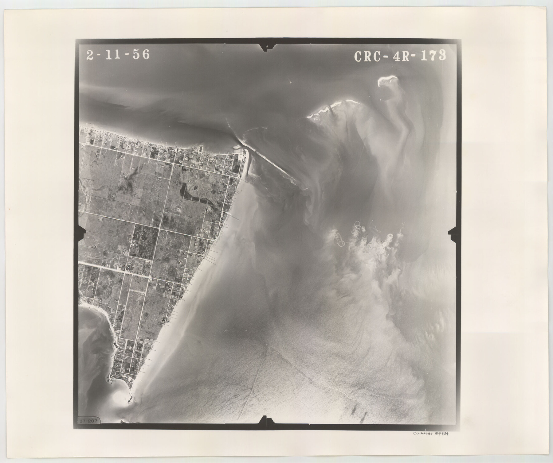
Flight Mission No. CRC-4R, Frame 173, Chambers County
CRC-4R-173
-
Map/Doc
84924
-
Collection
General Map Collection
-
Object Dates
1956/2/11 (Creation Date)
-
People and Organizations
U. S. Department of Agriculture (Publisher)
-
Counties
Chambers
-
Subjects
Aerial Photograph
-
Height x Width
18.7 x 22.3 inches
47.5 x 56.6 cm
-
Comments
Flown by Jack Ammann Photogrammetric Engineers, Inc. of San Antonio, Texas.
Part of: General Map Collection
Flight Mission No. DIX-6P, Frame 119, Aransas County

Print $20.00
- Digital $50.00
Flight Mission No. DIX-6P, Frame 119, Aransas County
1956
Size 19.1 x 22.7 inches
Map/Doc 83825
Cooke County Working Sketch 11

Print $20.00
- Digital $50.00
Cooke County Working Sketch 11
1940
Size 42.6 x 28.2 inches
Map/Doc 68248
Comal County Sketch File 17

Print $2.00
- Digital $50.00
Comal County Sketch File 17
Size 8.7 x 8.9 inches
Map/Doc 19036
Bee County Sketch File 8b

Print $4.00
- Digital $50.00
Bee County Sketch File 8b
Size 11.5 x 8.1 inches
Map/Doc 14287
Gillespie County Rolled Sketch 2

Print $20.00
- Digital $50.00
Gillespie County Rolled Sketch 2
1977
Size 22.8 x 22.7 inches
Map/Doc 6009
Coryell County Working Sketch 19

Print $20.00
- Digital $50.00
Coryell County Working Sketch 19
1970
Size 38.7 x 33.2 inches
Map/Doc 68226
Chambers County Sketch File 48

Print $88.00
- Digital $50.00
Chambers County Sketch File 48
1925
Size 14.3 x 8.8 inches
Map/Doc 18002
Burleson County Working Sketch 13

Print $40.00
- Digital $50.00
Burleson County Working Sketch 13
1980
Size 49.2 x 34.6 inches
Map/Doc 67732
South Part of Brewster Co.

Print $20.00
- Digital $50.00
South Part of Brewster Co.
1955
Size 47.3 x 39.6 inches
Map/Doc 77221
Sutton County Sketch File 45

Print $4.00
- Digital $50.00
Sutton County Sketch File 45
1939
Size 11.2 x 8.6 inches
Map/Doc 37515
San Patricio County Rolled Sketch 57

Print $40.00
- Digital $50.00
San Patricio County Rolled Sketch 57
2006
Size 37.2 x 50.0 inches
Map/Doc 83554
Terrell County Working Sketch 79

Print $40.00
- Digital $50.00
Terrell County Working Sketch 79
1983
Size 43.0 x 55.8 inches
Map/Doc 69600
You may also like
Newton County Sketch File 9

Print $4.00
- Digital $50.00
Newton County Sketch File 9
Size 9.8 x 8.3 inches
Map/Doc 32378
Right of Way and Track Map, the Missouri, Kansas and Texas Ry. of Texas - Henrietta Division

Print $20.00
- Digital $50.00
Right of Way and Track Map, the Missouri, Kansas and Texas Ry. of Texas - Henrietta Division
1918
Size 11.7 x 26.9 inches
Map/Doc 64749

Block 32, Township 4 North, Texas and Pacific Railroad Co., Borden County, Texas

Print $2.00
- Digital $50.00
Block 32, Township 4 North, Texas and Pacific Railroad Co., Borden County, Texas
Size 9.1 x 11.6 inches
Map/Doc 90141
Robertson County Sketch File 5 1/2

Print $2.00
- Digital $50.00
Robertson County Sketch File 5 1/2
Size 8.1 x 4.2 inches
Map/Doc 35361
Edwards County Rolled Sketch 28

Print $20.00
- Digital $50.00
Edwards County Rolled Sketch 28
1950
Size 18.9 x 27.0 inches
Map/Doc 5814
Aransas County NRC Article 33.136 Sketch 14

Print $36.00
- Digital $50.00
Aransas County NRC Article 33.136 Sketch 14
2016
Size 18.0 x 24.0 inches
Map/Doc 94795
Walker County

Print $20.00
- Digital $50.00
Walker County
1944
Size 40.4 x 34.4 inches
Map/Doc 77448
Brewster County Working Sketch 115

Print $40.00
- Digital $50.00
Brewster County Working Sketch 115
1985
Size 49.6 x 43.4 inches
Map/Doc 67715
Karte des Staates, Texas

Print $20.00
- Digital $50.00
Karte des Staates, Texas
1851
Size 17.8 x 19.9 inches
Map/Doc 97191
Map of San Jacinto County

Print $20.00
- Digital $50.00
Map of San Jacinto County
1879
Size 27.0 x 18.1 inches
Map/Doc 4624
Map of Burnet Co.

Print $20.00
- Digital $50.00
Map of Burnet Co.
1887
Size 45.5 x 37.9 inches
Map/Doc 7816