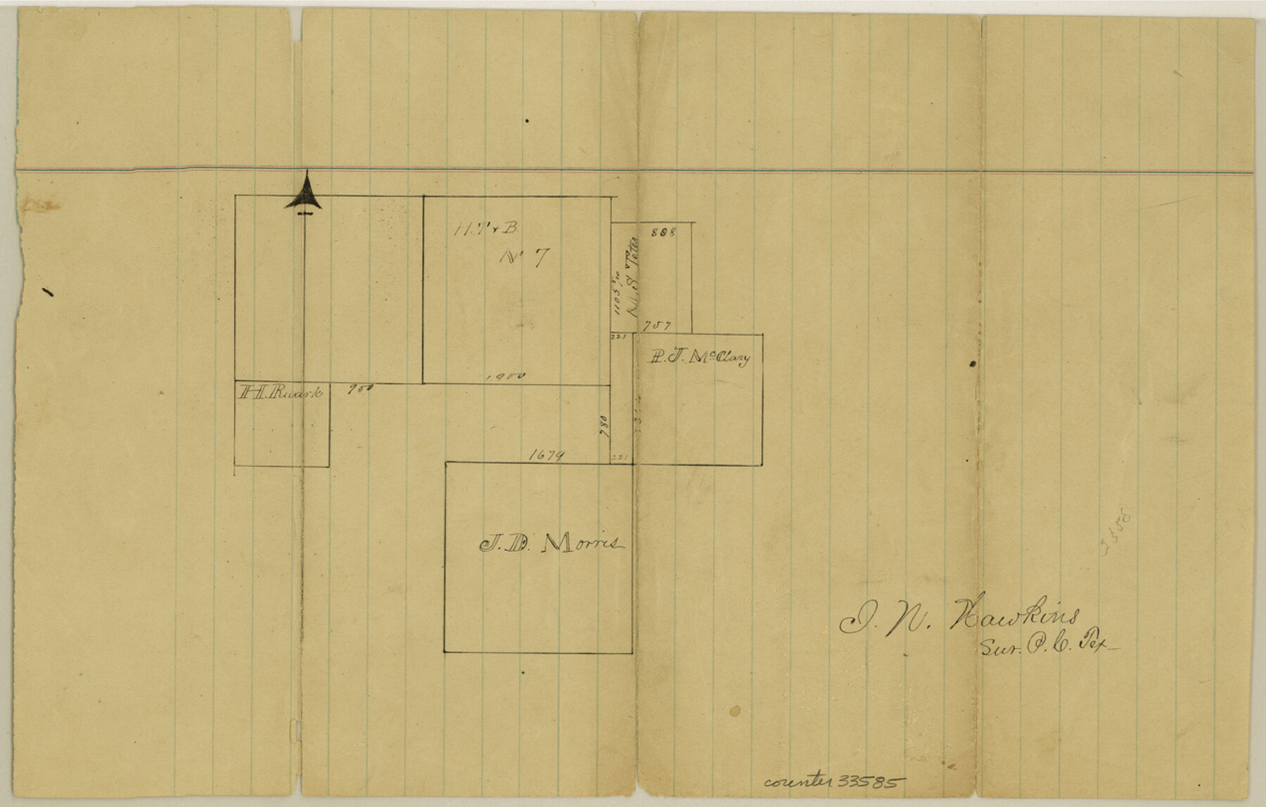
Parker County Sketch File 40
[Sketch southeast of Weatherford]
-
Map/Doc
33585
-
Collection
General Map Collection
-
People and Organizations
I.N. Hawkins (Surveyor/Engineer)
-
Counties
Parker
-
Subjects
Surveying Sketch File
-
Height x Width
8.1 x 12.7 inches
20.6 x 32.3 cm
-
Medium
paper, manuscript
Part of: General Map Collection
Galveston County Rolled Sketch 34A

Print $20.00
- Digital $50.00
Galveston County Rolled Sketch 34A
1978
Size 30.2 x 40.9 inches
Map/Doc 5967
Culberson County Working Sketch 25

Print $40.00
- Digital $50.00
Culberson County Working Sketch 25
1951
Size 36.9 x 52.5 inches
Map/Doc 62343
Floyd County Sketch File 22

Print $4.00
- Digital $50.00
Floyd County Sketch File 22
Size 8.8 x 8.0 inches
Map/Doc 22774
Frio County Sketch File 2a

Print $6.00
- Digital $50.00
Frio County Sketch File 2a
1861
Size 16.0 x 11.0 inches
Map/Doc 23107
Goliad County Rolled Sketch 3

Print $4.00
- Digital $50.00
Goliad County Rolled Sketch 3
1945
Size 24.2 x 26.9 inches
Map/Doc 6024
Flight Mission No. CUG-3P, Frame 164, Kleberg County

Print $20.00
- Digital $50.00
Flight Mission No. CUG-3P, Frame 164, Kleberg County
1956
Size 18.5 x 22.2 inches
Map/Doc 86284
Maps of Gulf Intracoastal Waterway, Texas - Sabine River to the Rio Grande and connecting waterways including ship channels

Print $20.00
- Digital $50.00
Maps of Gulf Intracoastal Waterway, Texas - Sabine River to the Rio Grande and connecting waterways including ship channels
1966
Size 14.6 x 22.3 inches
Map/Doc 61956
Eastland County Working Sketch 30

Print $20.00
- Digital $50.00
Eastland County Working Sketch 30
1954
Size 20.2 x 24.0 inches
Map/Doc 68811
Presidio County Rolled Sketch 131A

Print $20.00
- Digital $50.00
Presidio County Rolled Sketch 131A
1992
Size 36.5 x 46.7 inches
Map/Doc 9802
Cochran County Boundary File 6

Print $10.00
- Digital $50.00
Cochran County Boundary File 6
Size 10.4 x 4.3 inches
Map/Doc 51562
[Town lots on Galveston Island]
![11, [Town lots on Galveston Island], General Map Collection](https://historictexasmaps.com/wmedia_w700/maps/11.tif.jpg)
Print $20.00
- Digital $50.00
[Town lots on Galveston Island]
1839
Size 18.8 x 23.0 inches
Map/Doc 11
Wise County Rolled Sketch 1

Print $40.00
- Digital $50.00
Wise County Rolled Sketch 1
1941
Size 40.6 x 52.8 inches
Map/Doc 10154
You may also like
Texas Gulf Coast Map from the Sabine River to the Rio Grande as subdivided for mineral development

Print $40.00
- Digital $50.00
Texas Gulf Coast Map from the Sabine River to the Rio Grande as subdivided for mineral development
1948
Size 49.3 x 55.7 inches
Map/Doc 2906
Map Showing Showing San Antonio & Aransas Pass Railway from San Antonio to Wilson County Line

Print $40.00
- Digital $50.00
Map Showing Showing San Antonio & Aransas Pass Railway from San Antonio to Wilson County Line
Size 25.8 x 101.6 inches
Map/Doc 64283
Haskell County Working Sketch 8

Print $20.00
- Digital $50.00
Haskell County Working Sketch 8
1957
Size 22.8 x 24.0 inches
Map/Doc 66066
Connecting Texas: 300 Years of Trails, Rails & Roads - An Exhibit Guide

Connecting Texas: 300 Years of Trails, Rails & Roads - An Exhibit Guide
2018
Size 9.5 x 6.5 inches
Map/Doc 94454
Live Oak County Working Sketch 39

Print $40.00
- Digital $50.00
Live Oak County Working Sketch 39
2006
Size 36.4 x 48.6 inches
Map/Doc 94156
Brazoria County Sketch File 16

Print $16.00
- Digital $50.00
Brazoria County Sketch File 16
1893
Size 9.4 x 4.3 inches
Map/Doc 14981
Intracoastal Waterway in Texas - Corpus Christi to Point Isabel including Arroyo Colorado to Mo. Pac. R.R. Bridge Near Harlingen

Print $20.00
- Digital $50.00
Intracoastal Waterway in Texas - Corpus Christi to Point Isabel including Arroyo Colorado to Mo. Pac. R.R. Bridge Near Harlingen
1933
Size 40.6 x 28.0 inches
Map/Doc 61877
Hamilton County Working Sketch 18

Print $20.00
- Digital $50.00
Hamilton County Working Sketch 18
1952
Size 22.4 x 25.1 inches
Map/Doc 63356
Baylor County Sketch File 27

Print $4.00
- Digital $50.00
Baylor County Sketch File 27
1895
Size 11.1 x 8.9 inches
Map/Doc 14226
Hutchinson County Working Sketch 50

Print $20.00
- Digital $50.00
Hutchinson County Working Sketch 50
Size 30.5 x 29.3 inches
Map/Doc 78201
Webb County Sketch File EF

Print $38.00
- Digital $50.00
Webb County Sketch File EF
1932
Size 9.2 x 8.5 inches
Map/Doc 39681
Flight Mission No. DQO-8K, Frame 48, Galveston County

Print $20.00
- Digital $50.00
Flight Mission No. DQO-8K, Frame 48, Galveston County
1952
Size 18.7 x 22.2 inches
Map/Doc 85155