[H. & G. N. RR. Company, Block B3]
90-20
-
Map/Doc
90718
-
Collection
Twichell Survey Records
-
Counties
Gray
-
Height x Width
34.9 x 28.8 inches
88.7 x 73.2 cm
Part of: Twichell Survey Records
Ed F. Mann's Subdivision of Stephens County School Land, Crosby County, Texas


Print $20.00
- Digital $50.00
Ed F. Mann's Subdivision of Stephens County School Land, Crosby County, Texas
Size 19.4 x 22.2 inches
Map/Doc 92600
[Sketch showing B. S. & F. Block 9 and vicinity]
![89785, [Sketch showing B. S. & F. Block 9 and vicinity], Twichell Survey Records](https://historictexasmaps.com/wmedia_w700/maps/89785-1.tif.jpg)
![89785, [Sketch showing B. S. & F. Block 9 and vicinity], Twichell Survey Records](https://historictexasmaps.com/wmedia_w700/maps/89785-1.tif.jpg)
Print $40.00
- Digital $50.00
[Sketch showing B. S. & F. Block 9 and vicinity]
Size 37.8 x 49.0 inches
Map/Doc 89785
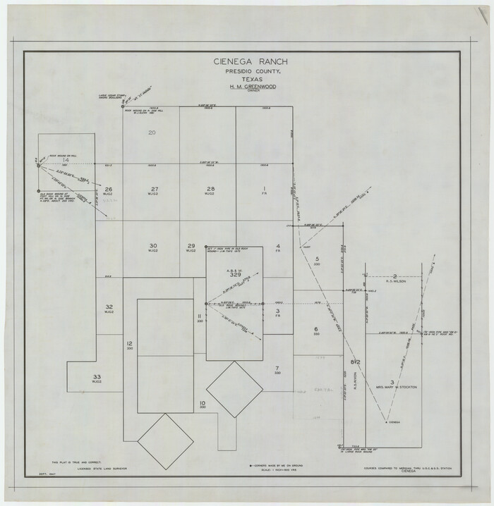
Cienega Ranch

Print $20.00
- Digital $50.00
Cienega Ranch
1947
Size 27.6 x 28.3 inches
Map/Doc 92323
[Sketch showing Potter County Block 2] / [Sketch showing F. W. & D. C. Round House]
![91709, [Sketch showing Potter County Block 2] / [Sketch showing F. W. & D. C. Round House], Twichell Survey Records](https://historictexasmaps.com/wmedia_w700/maps/91709-1.tif.jpg)
![91709, [Sketch showing Potter County Block 2] / [Sketch showing F. W. & D. C. Round House], Twichell Survey Records](https://historictexasmaps.com/wmedia_w700/maps/91709-1.tif.jpg)
Print $20.00
- Digital $50.00
[Sketch showing Potter County Block 2] / [Sketch showing F. W. & D. C. Round House]
Size 12.2 x 14.6 inches
Map/Doc 91709
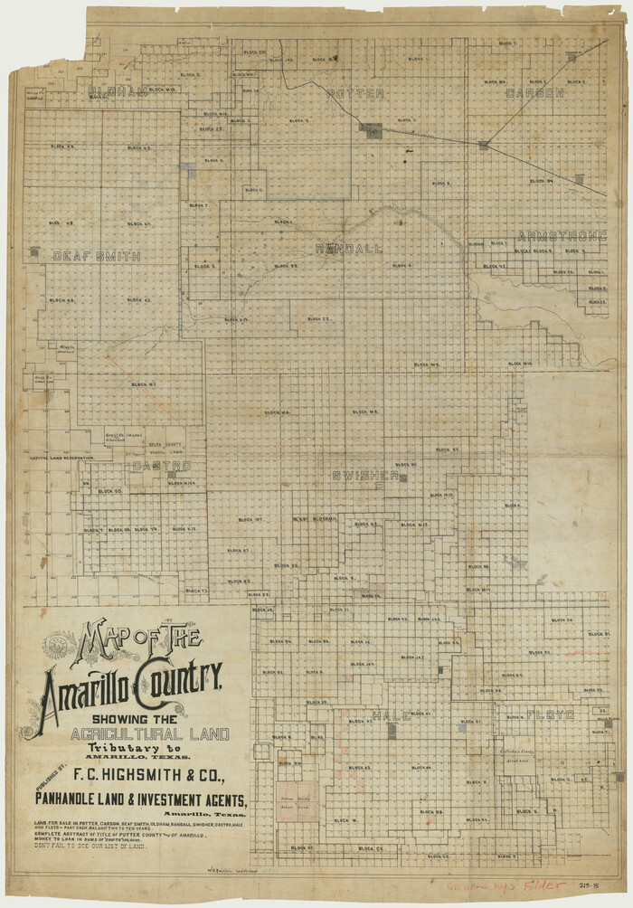
Map of the Amarillo Country Showing the Agricultural Land Tributary to Amarillo, Texas

Print $40.00
- Digital $50.00
Map of the Amarillo Country Showing the Agricultural Land Tributary to Amarillo, Texas
1889
Size 55.7 x 38.7 inches
Map/Doc 89806
[Panhandle Counties]
![89923, [Panhandle Counties], Twichell Survey Records](https://historictexasmaps.com/wmedia_w700/maps/89923-1.tif.jpg)
![89923, [Panhandle Counties], Twichell Survey Records](https://historictexasmaps.com/wmedia_w700/maps/89923-1.tif.jpg)
Print $20.00
- Digital $50.00
[Panhandle Counties]
1930
Size 42.3 x 42.8 inches
Map/Doc 89923
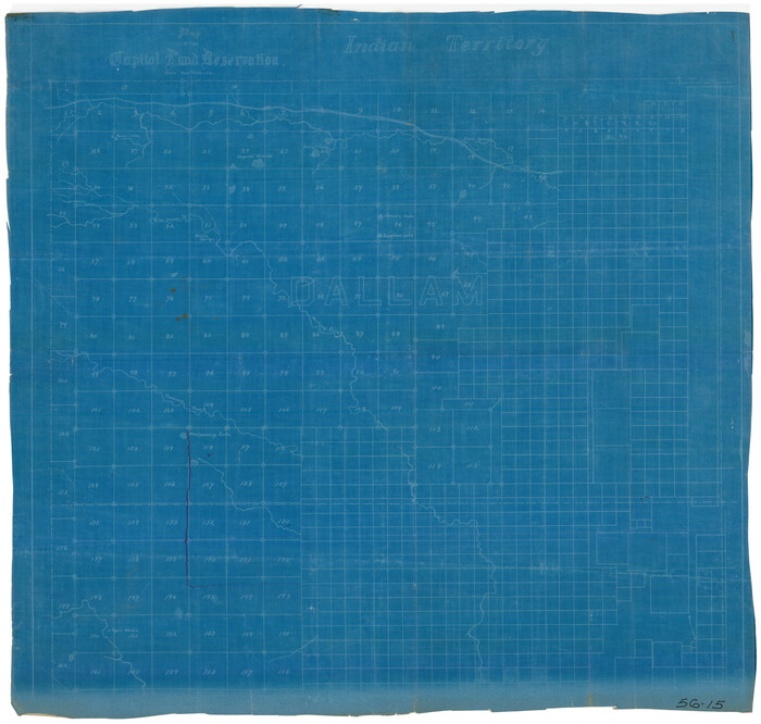
Map of the Capitol Land Reservation

Print $20.00
- Digital $50.00
Map of the Capitol Land Reservation
Size 25.4 x 24.3 inches
Map/Doc 90642
Official Map City of Lubbock Lubbock County, Texas


Print $20.00
- Digital $50.00
Official Map City of Lubbock Lubbock County, Texas
1927
Size 44.6 x 33.4 inches
Map/Doc 93220
[Block M21, B. S. & F. Block 3, I. & G. N. Block 4, and Part of Block 46]
![91178, [Block M21, B. S. & F. Block 3, I. & G. N. Block 4, and Part of Block 46], Twichell Survey Records](https://historictexasmaps.com/wmedia_w700/maps/91178-1.tif.jpg)
![91178, [Block M21, B. S. & F. Block 3, I. & G. N. Block 4, and Part of Block 46], Twichell Survey Records](https://historictexasmaps.com/wmedia_w700/maps/91178-1.tif.jpg)
Print $20.00
- Digital $50.00
[Block M21, B. S. & F. Block 3, I. & G. N. Block 4, and Part of Block 46]
Size 19.6 x 17.9 inches
Map/Doc 91178
Map of the Northeast Part of the Pitchfork Ranch


Print $20.00
- Digital $50.00
Map of the Northeast Part of the Pitchfork Ranch
1916
Size 23.4 x 23.4 inches
Map/Doc 90980
[Block RG, Block C, San Augustine School Land]
![92863, [Block RG, Block C, San Augustine School Land], Twichell Survey Records](https://historictexasmaps.com/wmedia_w700/maps/92863-1.tif.jpg)
![92863, [Block RG, Block C, San Augustine School Land], Twichell Survey Records](https://historictexasmaps.com/wmedia_w700/maps/92863-1.tif.jpg)
Print $20.00
- Digital $50.00
[Block RG, Block C, San Augustine School Land]
Size 32.8 x 38.7 inches
Map/Doc 92863
You may also like
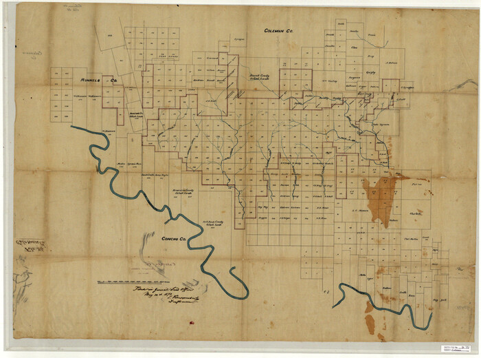
Coleman County Sketch File 31

Print $20.00
- Digital $50.00
Coleman County Sketch File 31
Size 31.2 x 41.9 inches
Map/Doc 10339
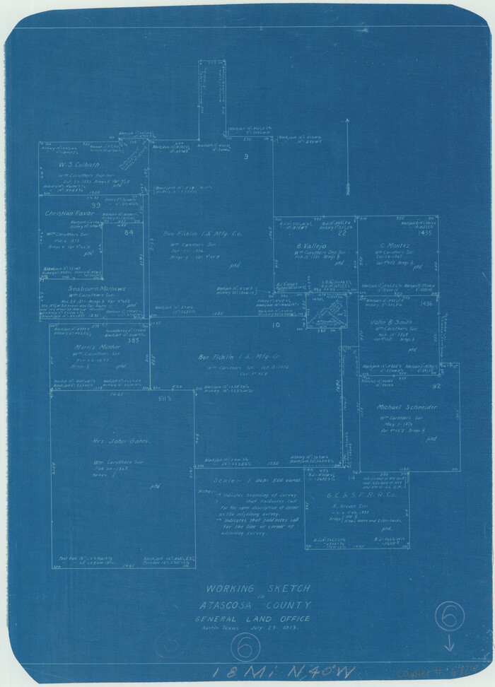
Atascosa County Working Sketch 6

Print $20.00
- Digital $50.00
Atascosa County Working Sketch 6
1913
Size 16.2 x 11.7 inches
Map/Doc 67202
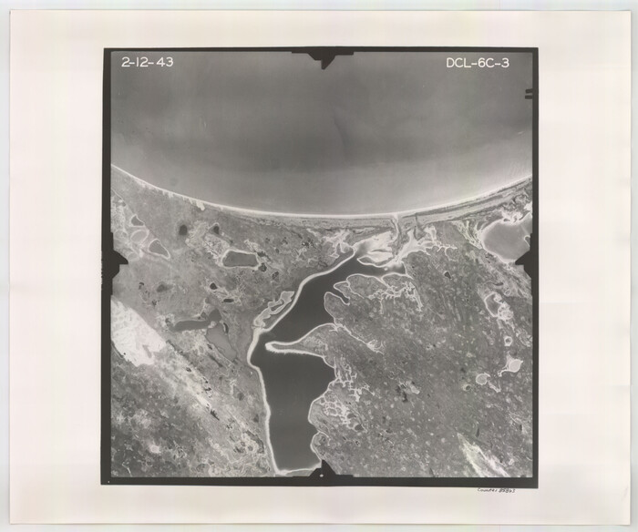
Flight Mission No. DCL-6C, Frame 3, Kenedy County

Print $20.00
- Digital $50.00
Flight Mission No. DCL-6C, Frame 3, Kenedy County
1943
Size 18.8 x 22.5 inches
Map/Doc 85863
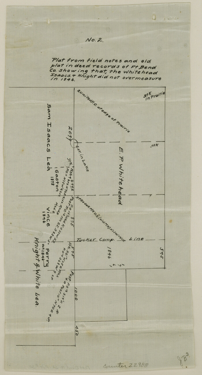
Fort Bend County Sketch File 30

Print $18.00
- Digital $50.00
Fort Bend County Sketch File 30
1920
Size 12.1 x 6.5 inches
Map/Doc 22988
Schleicher County Working Sketch 22
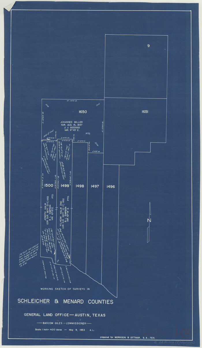

Print $20.00
- Digital $50.00
Schleicher County Working Sketch 22
1953
Size 26.2 x 15.3 inches
Map/Doc 63824
Brazoria County NRC Article 33.136 Sketch 4
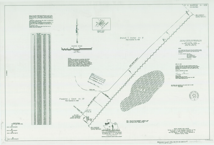

Print $22.00
- Digital $50.00
Brazoria County NRC Article 33.136 Sketch 4
2003
Size 24.3 x 35.8 inches
Map/Doc 80120
Flight Mission No. CUG-1P, Frame 114, Kleberg County


Print $20.00
- Digital $50.00
Flight Mission No. CUG-1P, Frame 114, Kleberg County
1956
Size 18.5 x 22.1 inches
Map/Doc 86164
Brewster County Sketch File NS-7
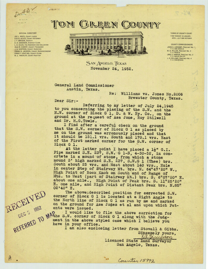

Print $14.00
- Digital $50.00
Brewster County Sketch File NS-7
1945
Size 11.3 x 8.8 inches
Map/Doc 15992
Dickens County Sketch File 29
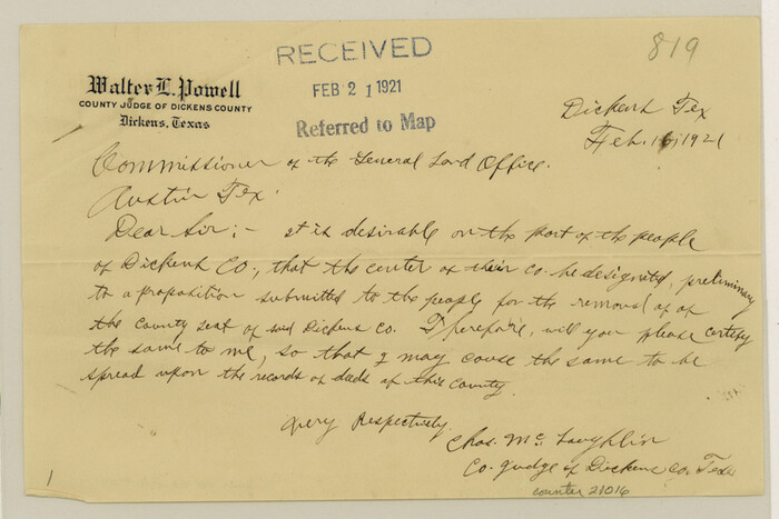

Print $6.00
- Digital $50.00
Dickens County Sketch File 29
1921
Size 5.9 x 8.8 inches
Map/Doc 21016
United States - Gulf Coast Texas - Northern part of Laguna Madre

Print $20.00
- Digital $50.00
United States - Gulf Coast Texas - Northern part of Laguna Madre
1941
Size 26.7 x 18.3 inches
Map/Doc 72934
![90718, [H. & G. N. RR. Company, Block B3], Twichell Survey Records](https://historictexasmaps.com/wmedia_w1800h1800/maps/90718-1.tif.jpg)
![91836, [Block IT], Twichell Survey Records](https://historictexasmaps.com/wmedia_w700/maps/91836-1.tif.jpg)
