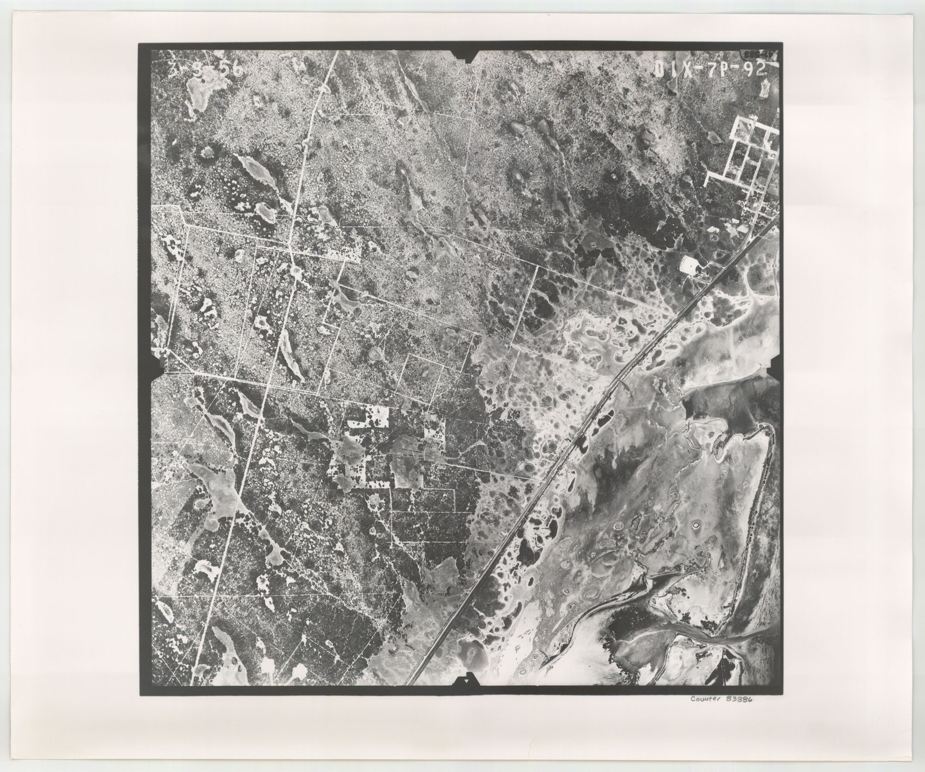
Flight Mission No. DIX-7P, Frame 92, Aransas County
DIX-7P-92
- 
                          Map/Doc
83886
 - 
                            Collection
General Map Collection
 - 
                            Object Dates
1956/3/8 (Creation Date)
 - 
                            People and Organizations
U. S. Department of Agriculture (Publisher)
 - 
                            Counties
Aransas
 - 
                            Subjects
Aerial Photograph
 - 
                            Height x Width
18.7 x 22.4 inches
47.5 x 56.9 cm
 - 
                            Comments
Flown by V. L. Beavers and Associates of San Antonio, Texas.
 
Part of: General Map Collection
            Aransas County Working Sketch 15


                                            Print $20.00                    
                                             -                         Digital $50.00                                    
                Aransas County Working Sketch 15
1956
Size 22.2 x 19.0 inches
                                Map/Doc 67182
            
            El Paso County Sketch File 9


                                            Print $44.00                    
                                             -                         Digital $50.00                                    
                El Paso County Sketch File 9
Size 8.6 x 12.5 inches
                                Map/Doc 21970
            
            Jones County Sketch File 13


                                            Print $20.00                    
                                             -                         Digital $50.00                                    
                Jones County Sketch File 13
Size 43.5 x 35.7 inches
                                Map/Doc 10511
            
            Flight Mission No. CON-2R, Frame 116, Stonewall County


                                            Print $20.00                    
                                             -                         Digital $50.00                                    
                Flight Mission No. CON-2R, Frame 116, Stonewall County
1957
Size 18.3 x 22.2 inches
                                Map/Doc 86990
            
            Tom Green County Boundary File 1


                                            Print $48.00                    
                                             -                         Digital $50.00                                    
                Tom Green County Boundary File 1
Size 8.8 x 3.8 inches
                                Map/Doc 59329
            
            Flight Mission No. DAG-24K, Frame 139, Matagorda County


                                            Print $20.00                    
                                             -                         Digital $50.00                                    
                Flight Mission No. DAG-24K, Frame 139, Matagorda County
1953
Size 18.5 x 22.3 inches
                                Map/Doc 86557
            
            Webb County Sketch File 7-2


                                            Print $20.00                    
                                             -                         Digital $50.00                                    
                Webb County Sketch File 7-2
1927
Size 31.6 x 23.7 inches
                                Map/Doc 12618
            
            Eastland County Working Sketch 56


                                            Print $20.00                    
                                             -                         Digital $50.00                                    
                Eastland County Working Sketch 56
1984
Size 39.2 x 43.3 inches
                                Map/Doc 68837
            
            Flight Mission No. BRA-3M, Frame 118, Jefferson County


                                            Print $20.00                    
                                             -                         Digital $50.00                                    
                Flight Mission No. BRA-3M, Frame 118, Jefferson County
1953
Size 18.6 x 22.3 inches
                                Map/Doc 85392
            
            Jeff Davis County Working Sketch 44


                                            Print $20.00                    
                                             -                         Digital $50.00                                    
                Jeff Davis County Working Sketch 44
1984
Size 28.8 x 37.4 inches
                                Map/Doc 66539
            
            Kinney County Working Sketch 47


                                            Print $20.00                    
                                             -                         Digital $50.00                                    
                Kinney County Working Sketch 47
1979
Size 40.5 x 39.1 inches
                                Map/Doc 70229
            
            Jeff Davis County Working Sketch 47


                                            Print $20.00                    
                                             -                         Digital $50.00                                    
                Jeff Davis County Working Sketch 47
2000
Size 30.1 x 40.1 inches
                                Map/Doc 66542
            You may also like
            Leon County Rolled Sketch 34


                                            Print $20.00                    
                                             -                         Digital $50.00                                    
                Leon County Rolled Sketch 34
1999
Size 31.8 x 37.1 inches
                                Map/Doc 87502
            
            Johnson County Sketch File 22


                                            Print $20.00                    
                                             -                         Digital $50.00                                    
                Johnson County Sketch File 22
1873
Size 18.8 x 16.2 inches
                                Map/Doc 11891
            
            Uvalde County Working Sketch 53


                                            Print $20.00                    
                                             -                         Digital $50.00                                    
                Uvalde County Working Sketch 53
1982
Size 30.4 x 43.0 inches
                                Map/Doc 72123
            
            [Map 1:] A Geographically Correct County Map of States Traversed by the St. Louis, Iron Mountain and Southern Railway and its connections / [Map 2:] Map of the St. Louis, Iron Mountain and Southern Railway, and connections


                                            Print $20.00                    
                                             -                         Digital $50.00                                    
                [Map 1:] A Geographically Correct County Map of States Traversed by the St. Louis, Iron Mountain and Southern Railway and its connections / [Map 2:] Map of the St. Louis, Iron Mountain and Southern Railway, and connections
1878
Size 18.9 x 32.2 inches
                                Map/Doc 95784
            
            Mapa Geográphico de la Provincia de Tejas


            Mapa Geográphico de la Provincia de Tejas
1822
Size 9.8 x 12.7 inches
                                Map/Doc 94457
            
            [Portion of sketch showing alleged vacancy]


                                            Print $20.00                    
                                             -                         Digital $50.00                                    
                [Portion of sketch showing alleged vacancy]
Size 18.9 x 24.4 inches
                                Map/Doc 91953
            
            Map of Hamilton County


                                            Print $20.00                    
                                             -                         Digital $50.00                                    
                Map of Hamilton County
1872
Size 14.9 x 21.9 inches
                                Map/Doc 4556
            
            Sherman County


                                            Print $20.00                    
                                             -                         Digital $50.00                                    
                Sherman County
1932
Size 39.8 x 37.3 inches
                                Map/Doc 95640
            
            Map of Texas Gulf Coast and Continental Shelf showing Natural Gas Pipe Lines


                                            Print $40.00                    
                                             -                         Digital $50.00                                    
                Map of Texas Gulf Coast and Continental Shelf showing Natural Gas Pipe Lines
1983
Size 40.9 x 59.1 inches
                                Map/Doc 75969
            
            Map of Frio County, Texas


                                            Print $20.00                    
                                             -                         Digital $50.00                                    
                Map of Frio County, Texas
1879
Size 24.1 x 22.5 inches
                                Map/Doc 5032
            
            Hockley County Boundary File 3


                                            Print $12.00                    
                                             -                         Digital $50.00                                    
                Hockley County Boundary File 3
Size 4.1 x 8.6 inches
                                Map/Doc 54804
            
            Starr County Sketch File 4


                                            Print $3.00                    
                                             -                         Digital $50.00                                    
                Starr County Sketch File 4
Size 9.3 x 11.5 inches
                                Map/Doc 36857