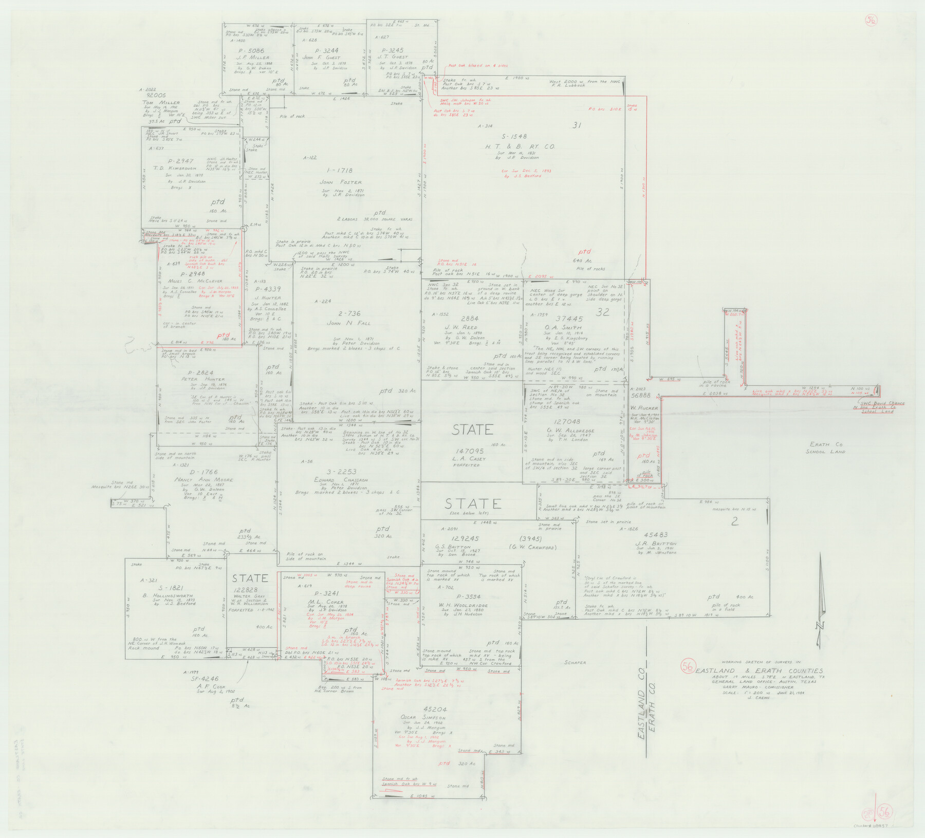
Eastland County Working Sketch 56
-
Map/Doc
68837
-
Collection
General Map Collection
-
Object Dates
6/21/1984 (Creation Date)
-
People and Organizations
J. Crews (Draftsman)
-
Counties
Eastland Erath
-
Subjects
Surveying Working Sketch
-
Height x Width
39.2 x 43.3 inches
99.6 x 110.0 cm
-
Scale
1" = 200 varas
Part of: General Map Collection
Smith County Sketch File 13

Print $9.00
- Digital $50.00
Smith County Sketch File 13
1880
Size 16.7 x 8.4 inches
Map/Doc 36771
Map of the World on a Globular Projection to illustrate Olney's school geography

Print $20.00
- Digital $50.00
Map of the World on a Globular Projection to illustrate Olney's school geography
1844
Size 12.1 x 19.0 inches
Map/Doc 93535
Cameron County Rolled Sketch 20B

Print $20.00
- Digital $50.00
Cameron County Rolled Sketch 20B
Size 24.3 x 12.7 inches
Map/Doc 5473
Map of Potter County

Print $20.00
- Digital $50.00
Map of Potter County
1895
Size 27.0 x 21.1 inches
Map/Doc 3966
Upton County Working Sketch 60

Print $20.00
- Digital $50.00
Upton County Working Sketch 60
2012
Size 34.2 x 32.1 inches
Map/Doc 93387
Childress County

Print $20.00
- Digital $50.00
Childress County
1892
Size 36.2 x 27.1 inches
Map/Doc 3392
San Augustine County Working Sketch 10

Print $20.00
- Digital $50.00
San Augustine County Working Sketch 10
1935
Size 35.0 x 32.2 inches
Map/Doc 63697
Flight Mission No. DCL-6C, Frame 24, Kenedy County

Print $20.00
- Digital $50.00
Flight Mission No. DCL-6C, Frame 24, Kenedy County
1943
Size 18.8 x 22.4 inches
Map/Doc 85881
Brewster County Sketch File N-26

Print $40.00
- Digital $50.00
Brewster County Sketch File N-26
Size 20.5 x 15.4 inches
Map/Doc 10971
San Saba County Sketch File 11

Print $8.00
- Digital $50.00
San Saba County Sketch File 11
1882
Size 12.4 x 8.3 inches
Map/Doc 36435
Travis County Appraisal District Plat Map 2_0603

Print $20.00
- Digital $50.00
Travis County Appraisal District Plat Map 2_0603
Size 21.5 x 26.4 inches
Map/Doc 94233

You may also like
Childress County Rolled Sketch 9C

Print $20.00
- Digital $50.00
Childress County Rolled Sketch 9C
Size 13.8 x 17.9 inches
Map/Doc 5449
Flight Mission No. DCL-6C, Frame 76, Kenedy County

Print $20.00
- Digital $50.00
Flight Mission No. DCL-6C, Frame 76, Kenedy County
1943
Size 18.6 x 22.3 inches
Map/Doc 85918
Presidio County Working Sketch 150

Print $20.00
- Digital $50.00
Presidio County Working Sketch 150
2002
Size 24.0 x 23.5 inches
Map/Doc 93490
Hill County Sketch File 17

Print $4.00
- Digital $50.00
Hill County Sketch File 17
1860
Size 12.5 x 8.3 inches
Map/Doc 26484
The Chief Justice County of Colorado. Undated

Print $20.00
The Chief Justice County of Colorado. Undated
2020
Size 14.8 x 21.6 inches
Map/Doc 96044
Flight Mission No. CUI-1H, Frame 97, Milam County

Print $20.00
- Digital $50.00
Flight Mission No. CUI-1H, Frame 97, Milam County
1951
Size 18.5 x 22.2 inches
Map/Doc 86605
Hudspeth County Sketch File 38

Print $20.00
- Digital $50.00
Hudspeth County Sketch File 38
Size 27.5 x 24.1 inches
Map/Doc 11806
El Paso County Sketch File 35

Print $10.00
- Digital $50.00
El Paso County Sketch File 35
1886
Size 11.3 x 8.9 inches
Map/Doc 22161
Hale County Rolled Sketch 8

Print $20.00
- Digital $50.00
Hale County Rolled Sketch 8
1910
Size 38.0 x 25.9 inches
Map/Doc 6046
Current Miscellaneous File 73

Print $8.00
- Digital $50.00
Current Miscellaneous File 73
1959
Size 11.4 x 8.7 inches
Map/Doc 74177
Upton County Working Sketch 19

Print $40.00
- Digital $50.00
Upton County Working Sketch 19
1949
Size 51.7 x 43.3 inches
Map/Doc 69515
Jack County Sketch File 13

Print $4.00
- Digital $50.00
Jack County Sketch File 13
Size 10.3 x 8.0 inches
Map/Doc 27537