Webb County Sketch File 7-2
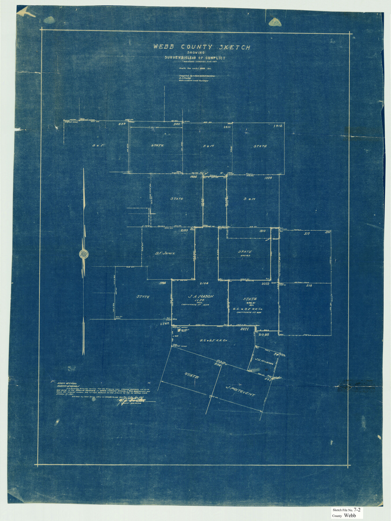
[Sketch showing surveys 2104, 2071, 2072 and surrounding area clear of conflict northeast from Laredo]
-
Map/Doc
12618
-
Collection
General Map Collection
-
Object Dates
1/19/1927 (Creation Date)
3/12/1927 (File Date)
-
People and Organizations
E.J. Foster (Surveyor/Engineer)
-
Counties
Webb
-
Subjects
Surveying Sketch File
-
Height x Width
31.6 x 23.7 inches
80.3 x 60.2 cm
-
Medium
blueprint/diazo
Part of: General Map Collection
Jefferson County Rolled Sketch 45

Print $20.00
- Digital $50.00
Jefferson County Rolled Sketch 45
1959
Size 31.2 x 27.3 inches
Map/Doc 6402
Wharton County Sketch File 1

Print $6.00
- Digital $50.00
Wharton County Sketch File 1
Size 10.6 x 8.7 inches
Map/Doc 39910
Map of Runnels County

Print $20.00
- Digital $50.00
Map of Runnels County
1867
Size 27.3 x 19.3 inches
Map/Doc 4003
Flight Mission No. DQN-1K, Frame 154, Calhoun County

Print $20.00
- Digital $50.00
Flight Mission No. DQN-1K, Frame 154, Calhoun County
1953
Size 18.7 x 22.4 inches
Map/Doc 84213
Pecos County Sketch File 62

Print $40.00
- Digital $50.00
Pecos County Sketch File 62
1919
Size 10.5 x 24.6 inches
Map/Doc 33790
Gregg County Boundary File 8

Print $8.00
- Digital $50.00
Gregg County Boundary File 8
Size 14.0 x 8.6 inches
Map/Doc 54019
Upton County Sketch File 14a

Print $18.00
- Digital $50.00
Upton County Sketch File 14a
1927
Size 14.5 x 9.1 inches
Map/Doc 38864
Hutchinson County Working Sketch 21

Print $20.00
- Digital $50.00
Hutchinson County Working Sketch 21
1965
Size 35.0 x 40.8 inches
Map/Doc 66381
2017 Official Travel Map, Texas

2017 Official Travel Map, Texas
2017
Size 33.6 x 36.4 inches
Map/Doc 94415
Flight Mission No. DIX-8P, Frame 59, Aransas County

Print $20.00
- Digital $50.00
Flight Mission No. DIX-8P, Frame 59, Aransas County
1956
Size 18.7 x 22.4 inches
Map/Doc 83890
Bandera County Sketch File 8

Print $6.00
- Digital $50.00
Bandera County Sketch File 8
1878
Size 13.0 x 11.8 inches
Map/Doc 14007
Baylor County Sketch File A1

Print $40.00
- Digital $50.00
Baylor County Sketch File A1
1899
Size 22.8 x 17.3 inches
Map/Doc 10911
You may also like
Flight Mission No. CRC-4R, Frame 102, Chambers County

Print $20.00
- Digital $50.00
Flight Mission No. CRC-4R, Frame 102, Chambers County
1956
Size 18.5 x 22.4 inches
Map/Doc 84899
Greer County Sketch File 3

Print $20.00
- Digital $50.00
Greer County Sketch File 3
Size 20.1 x 18.2 inches
Map/Doc 11583
Maps of Gulf Intracoastal Waterway, Texas - Sabine River to the Rio Grande and connecting waterways including ship channels

Print $20.00
- Digital $50.00
Maps of Gulf Intracoastal Waterway, Texas - Sabine River to the Rio Grande and connecting waterways including ship channels
1966
Size 14.5 x 22.2 inches
Map/Doc 61972
Hudspeth County Sketch File 11

Print $14.00
- Digital $50.00
Hudspeth County Sketch File 11
Size 14.5 x 8.9 inches
Map/Doc 26903
Burleson County Sketch File 10

Print $14.00
- Digital $50.00
Burleson County Sketch File 10
Size 11.5 x 8.3 inches
Map/Doc 16663
Menard County Sketch File 25b

Print $6.00
- Digital $50.00
Menard County Sketch File 25b
1936
Size 14.2 x 8.6 inches
Map/Doc 31557
Fort Bend County Sketch File 8

Print $6.00
- Digital $50.00
Fort Bend County Sketch File 8
Size 6.3 x 4.2 inches
Map/Doc 22894
Duval County Sketch File 75

Print $20.00
- Digital $50.00
Duval County Sketch File 75
1935
Size 18.0 x 28.5 inches
Map/Doc 11409
Texas, Empire State of the Southwest

Texas, Empire State of the Southwest
1911
Size 7.9 x 5.5 inches
Map/Doc 96604
Wharton County Rolled Sketch 9

Print $20.00
- Digital $50.00
Wharton County Rolled Sketch 9
1970
Size 30.1 x 41.3 inches
Map/Doc 8233
Mason County Sketch File 8

Print $4.00
- Digital $50.00
Mason County Sketch File 8
1876
Size 13.2 x 8.4 inches
Map/Doc 30691
Flight Mission No. CUG-3P, Frame 171, Kleberg County

Print $20.00
- Digital $50.00
Flight Mission No. CUG-3P, Frame 171, Kleberg County
1956
Size 18.4 x 22.3 inches
Map/Doc 86291