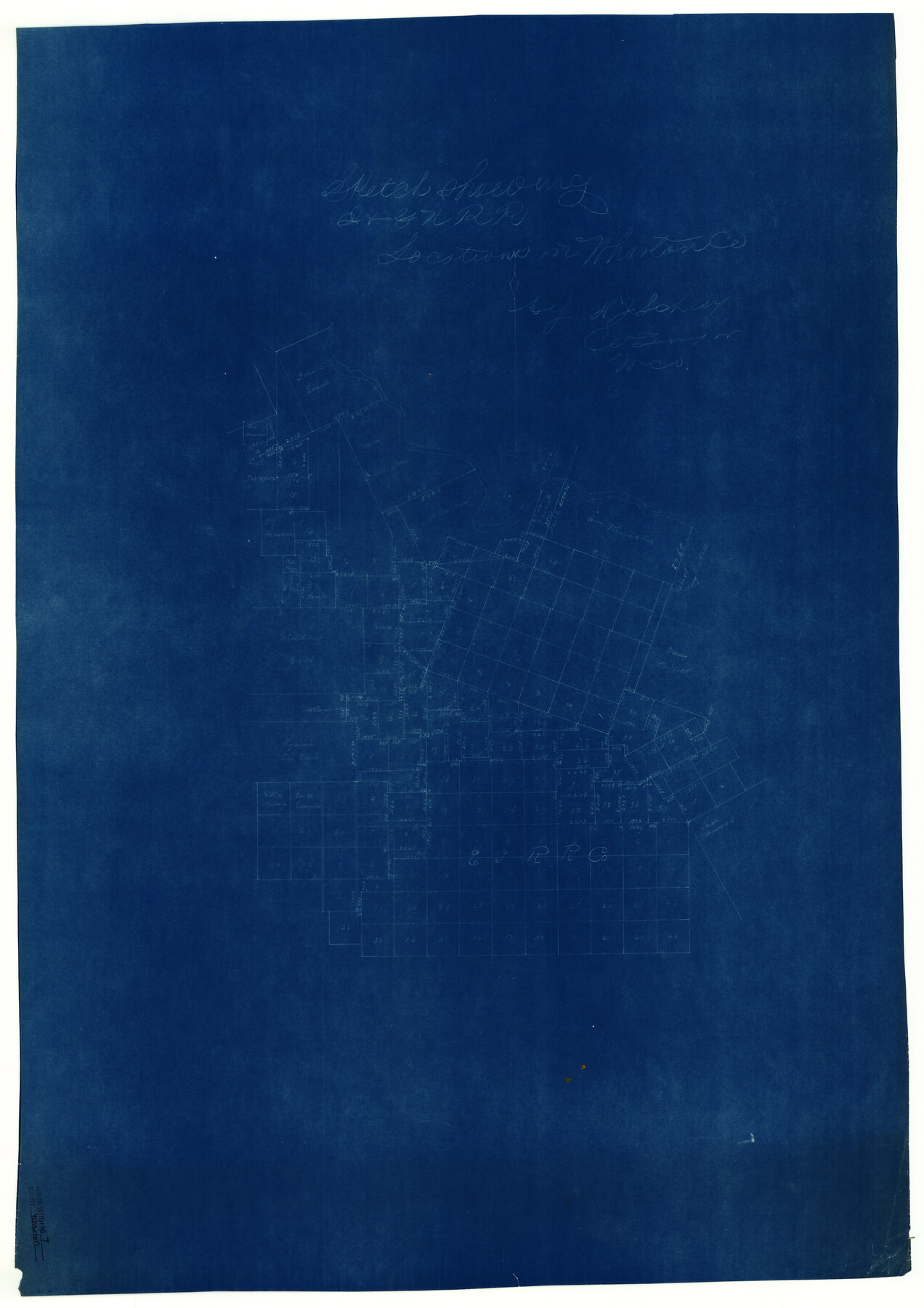
Wharton County Rolled Sketch 7
Sketch showing I. & G. N. R.R. locations in Wharton Co.
-
Map/Doc
8231
-
Collection
General Map Collection
-
Counties
Wharton
-
Subjects
Surveying Rolled Sketch
-
Height x Width
38.0 x 26.9 inches
96.5 x 68.3 cm
-
Medium
blueprint/diazo
Part of: General Map Collection
Galveston County NRC Article 33.136 Sketch 5

Print $20.00
- Digital $50.00
Galveston County NRC Article 33.136 Sketch 5
2001
Size 23.5 x 19.1 inches
Map/Doc 61587
Flight Mission No. CRC-4R, Frame 160, Chambers County

Print $20.00
- Digital $50.00
Flight Mission No. CRC-4R, Frame 160, Chambers County
1956
Size 18.5 x 22.3 inches
Map/Doc 84919
Map of Panola County

Print $20.00
- Digital $50.00
Map of Panola County
1863
Size 19.6 x 19.3 inches
Map/Doc 4503
[Right of Way Map, Belton Branch of the M.K.&T. RR.]
![64226, [Right of Way Map, Belton Branch of the M.K.&T. RR.], General Map Collection](https://historictexasmaps.com/wmedia_w700/maps/64226.tif.jpg)
Print $20.00
- Digital $50.00
[Right of Way Map, Belton Branch of the M.K.&T. RR.]
1896
Size 7.2 x 21.9 inches
Map/Doc 64226
Leon County Rolled Sketch 29

Print $20.00
- Digital $50.00
Leon County Rolled Sketch 29
1992
Size 34.6 x 32.9 inches
Map/Doc 6612
Dimmit County Boundary File 6a

Print $6.00
- Digital $50.00
Dimmit County Boundary File 6a
Size 8.9 x 3.9 inches
Map/Doc 52587
Right of Way and Track Map Houston & Texas Central R.R. operated by the T. and N. O. R.R. Co., Fort Worth Branch

Print $40.00
- Digital $50.00
Right of Way and Track Map Houston & Texas Central R.R. operated by the T. and N. O. R.R. Co., Fort Worth Branch
1918
Size 31.4 x 58.5 inches
Map/Doc 64544
King County Working Sketch Graphic Index

Print $20.00
- Digital $50.00
King County Working Sketch Graphic Index
1947
Size 44.2 x 39.5 inches
Map/Doc 76608
Crockett County Working Sketch 9

Print $20.00
- Digital $50.00
Crockett County Working Sketch 9
1912
Size 24.2 x 32.1 inches
Map/Doc 68342
Travis County Sketch File 23

Print $4.00
- Digital $50.00
Travis County Sketch File 23
1875
Size 12.8 x 8.5 inches
Map/Doc 38330
University Lands Hudspeth County, Texas, Blocks A to N

Print $40.00
- Digital $50.00
University Lands Hudspeth County, Texas, Blocks A to N
Size 38.9 x 55.2 inches
Map/Doc 62952
Lampasas County Working Sketch 2

Print $20.00
- Digital $50.00
Lampasas County Working Sketch 2
1936
Size 14.4 x 18.0 inches
Map/Doc 70279
You may also like
Throckmorton County Sketch File 12

Print $20.00
- Digital $50.00
Throckmorton County Sketch File 12
Size 16.2 x 22.3 inches
Map/Doc 12435
Spanish Province of Texas Compiled from map on file among archives at Saltillo

Print $20.00
Spanish Province of Texas Compiled from map on file among archives at Saltillo
Size 13.8 x 16.2 inches
Map/Doc 79742
[Surveys in the Jasper District]
![69734, [Surveys in the Jasper District], General Map Collection](https://historictexasmaps.com/wmedia_w700/maps/69734.tif.jpg)
Print $2.00
- Digital $50.00
[Surveys in the Jasper District]
1847
Size 9.4 x 6.9 inches
Map/Doc 69734
Atascosa County Working Sketch 37

Print $20.00
- Digital $50.00
Atascosa County Working Sketch 37
2004
Size 23.2 x 24.1 inches
Map/Doc 89049
Neches River, Texas Agricultural Experiment Station

Print $4.00
- Digital $50.00
Neches River, Texas Agricultural Experiment Station
1940
Size 21.7 x 20.6 inches
Map/Doc 65080
Wharton County

Print $40.00
- Digital $50.00
Wharton County
1946
Size 43.1 x 49.7 inches
Map/Doc 95671
Gulf of Mexico

Print $20.00
- Digital $50.00
Gulf of Mexico
1908
Size 18.2 x 27.9 inches
Map/Doc 72659
Flight Mission No. CRE-1R, Frame 4, Jackson County

Print $20.00
- Digital $50.00
Flight Mission No. CRE-1R, Frame 4, Jackson County
1956
Size 18.5 x 22.3 inches
Map/Doc 85324

Zavala County Working Sketch 3

Print $20.00
- Digital $50.00
Zavala County Working Sketch 3
1912
Size 37.1 x 46.9 inches
Map/Doc 62078
Amistad International Reservoir on Rio Grande 101

Print $20.00
- Digital $50.00
Amistad International Reservoir on Rio Grande 101
1950
Size 28.5 x 40.9 inches
Map/Doc 75532
The Judicial District/County of Guadalupe. Abolished, Spring 1842

Print $20.00
The Judicial District/County of Guadalupe. Abolished, Spring 1842
2020
Size 16.7 x 21.7 inches
Map/Doc 96328