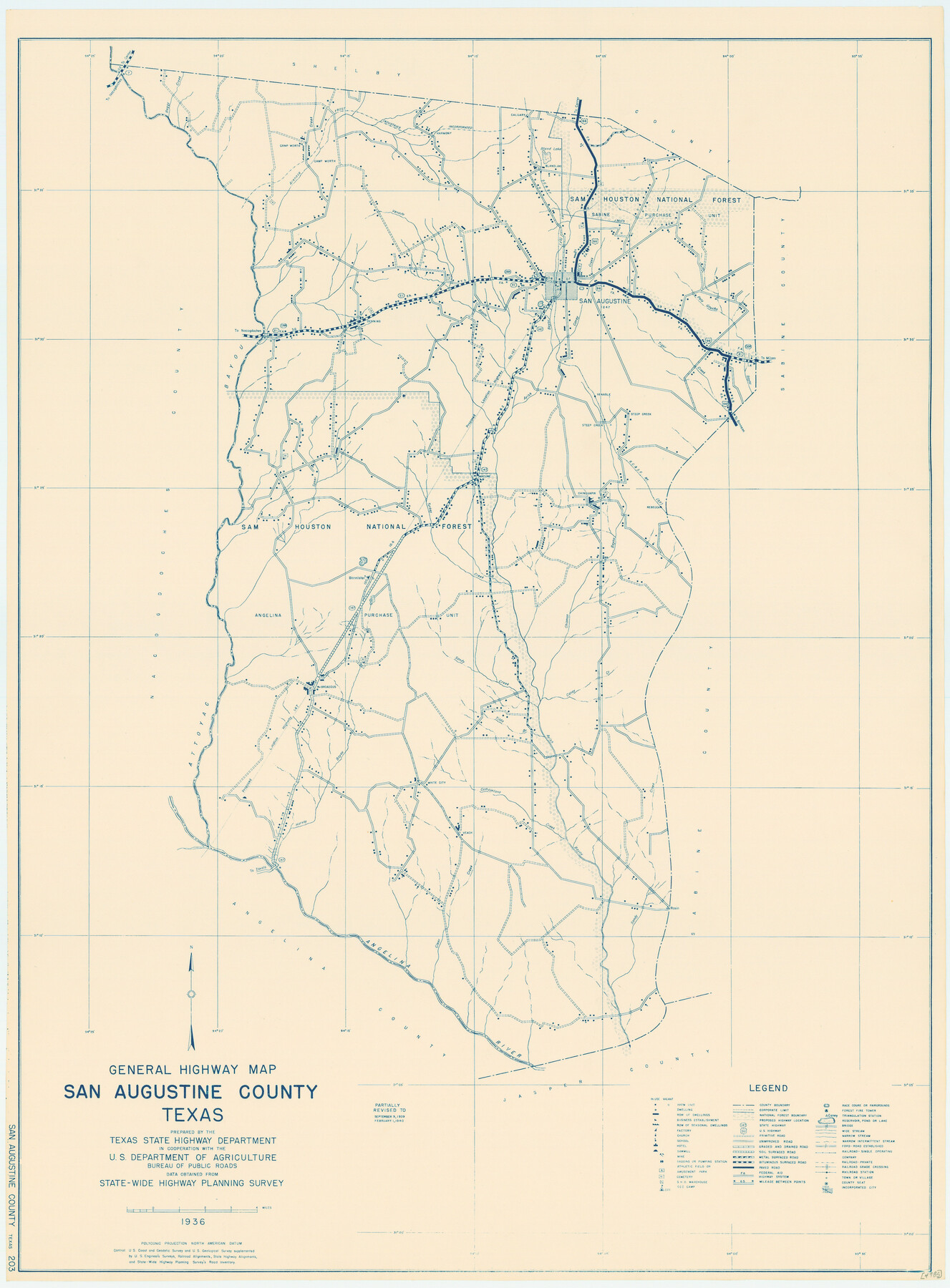
General Highway Map, San Augustine County, Texas
-
Map/Doc
79235
-
Collection
Texas State Library and Archives
-
Object Dates
1940 (Creation Date)
-
People and Organizations
Texas State Highway Department (Publisher)
-
Counties
San Augustine
-
Subjects
County
-
Height x Width
24.8 x 18.3 inches
63.0 x 46.5 cm
-
Comments
Prints available courtesy of the Texas State Library and Archives.
More info can be found here: TSLAC Map 04985
Part of: Texas State Library and Archives
Organizations for the Development of Texas Rivers

Print $20.00
Organizations for the Development of Texas Rivers
1938
Size 34.4 x 44.8 inches
Map/Doc 76307
General Highway Map, Milam County, Texas

Print $20.00
General Highway Map, Milam County, Texas
1961
Size 18.1 x 24.6 inches
Map/Doc 79597
General Highway Map. Detail of Cities and Towns in Bowie County, Texas

Print $20.00
General Highway Map. Detail of Cities and Towns in Bowie County, Texas
1961
Size 18.0 x 24.8 inches
Map/Doc 79381
General Highway Map. Detail of Cities and Towns in Travis County, Texas. City Map, Austin and vicinity, Travis County, Texas

Print $20.00
General Highway Map. Detail of Cities and Towns in Travis County, Texas. City Map, Austin and vicinity, Travis County, Texas
1961
Size 18.1 x 24.7 inches
Map/Doc 79687
General Highway Map, Johnson County, Texas

Print $20.00
General Highway Map, Johnson County, Texas
1961
Size 18.2 x 24.8 inches
Map/Doc 79545
General Highway Map. Detail of Cities and Towns in Jefferson County, Texas [Beaumont-Port Arthur vicinity]
![79145, General Highway Map. Detail of Cities and Towns in Jefferson County, Texas [Beaumont-Port Arthur vicinity], Texas State Library and Archives](https://historictexasmaps.com/wmedia_w700/maps/79145.tif.jpg)
Print $20.00
General Highway Map. Detail of Cities and Towns in Jefferson County, Texas [Beaumont-Port Arthur vicinity]
1940
Size 24.8 x 18.3 inches
Map/Doc 79145
General Highway Map, Burleson County, Texas

Print $20.00
General Highway Map, Burleson County, Texas
1961
Size 18.1 x 24.8 inches
Map/Doc 79391
Map of the Texas and Pacific Railway and Connections

Print $20.00
Map of the Texas and Pacific Railway and Connections
1897
Size 17.7 x 36.1 inches
Map/Doc 76298
Special Map of the Great Southwest for Burke's Texas Almanac

Print $20.00
Special Map of the Great Southwest for Burke's Texas Almanac
1885
Size 42.1 x 28.5 inches
Map/Doc 76214
Topographic Map of Texas and Oklahoma Boundary, Fort Augur Area

Print $20.00
Topographic Map of Texas and Oklahoma Boundary, Fort Augur Area
1924
Size 32.3 x 33.8 inches
Map/Doc 79755
General Highway Map, Lee County, Texas

Print $20.00
General Highway Map, Lee County, Texas
1940
Size 18.4 x 24.9 inches
Map/Doc 79171
General Highway Map, Franklin County, Morris County, Titus County, Camp County

Print $20.00
General Highway Map, Franklin County, Morris County, Titus County, Camp County
1940
Size 18.4 x 25.1 inches
Map/Doc 79040
You may also like
[Blocks L. E. and B8]
![90666, [Blocks L. E. and B8], Twichell Survey Records](https://historictexasmaps.com/wmedia_w700/maps/90666-2.tif.jpg)
Print $20.00
- Digital $50.00
[Blocks L. E. and B8]
Size 18.4 x 13.6 inches
Map/Doc 90666
Crockett County Sketch File KL

Print $20.00
- Digital $50.00
Crockett County Sketch File KL
1925
Size 30.0 x 28.7 inches
Map/Doc 11243
Upton County Sketch File 20

Print $40.00
- Digital $50.00
Upton County Sketch File 20
1927
Size 18.5 x 29.2 inches
Map/Doc 12516
Donley County Sketch File 1

Print $6.00
- Digital $50.00
Donley County Sketch File 1
Size 8.2 x 6.5 inches
Map/Doc 21214
Isham Tubbs Estate

Print $3.00
- Digital $50.00
Isham Tubbs Estate
1947
Size 15.5 x 9.3 inches
Map/Doc 92304
Reconnaissance of Aransas Pass, Texas

Print $20.00
Reconnaissance of Aransas Pass, Texas
1853
Size 14.9 x 12.4 inches
Map/Doc 76250
Blanco County Working Sketch 32

Print $20.00
- Digital $50.00
Blanco County Working Sketch 32
1972
Size 31.8 x 32.2 inches
Map/Doc 67392
Map of Southeastern Part of Young Territory

Print $40.00
- Digital $50.00
Map of Southeastern Part of Young Territory
1874
Size 54.7 x 30.1 inches
Map/Doc 1989
La Salle County Rolled Sketch 8

Print $20.00
- Digital $50.00
La Salle County Rolled Sketch 8
Size 21.4 x 43.9 inches
Map/Doc 6571
Newton County Working Sketch 9

Print $20.00
- Digital $50.00
Newton County Working Sketch 9
1938
Size 21.3 x 37.1 inches
Map/Doc 71255
General Highway Map. Detail of Cities and Towns in Bastrop County, Texas [Bastrop, Smithville, Elgin, etc.]
![79362, General Highway Map. Detail of Cities and Towns in Bastrop County, Texas [Bastrop, Smithville, Elgin, etc.], Texas State Library and Archives](https://historictexasmaps.com/wmedia_w700/maps/79362.tif.jpg)
Print $20.00
General Highway Map. Detail of Cities and Towns in Bastrop County, Texas [Bastrop, Smithville, Elgin, etc.]
1961
Size 18.3 x 25.0 inches
Map/Doc 79362
Fractional Township No. 7 South Range No. 6 West of the Indian Meridian, Indian Territory

Print $20.00
- Digital $50.00
Fractional Township No. 7 South Range No. 6 West of the Indian Meridian, Indian Territory
1898
Size 19.2 x 24.2 inches
Map/Doc 75188