Part of: General Map Collection
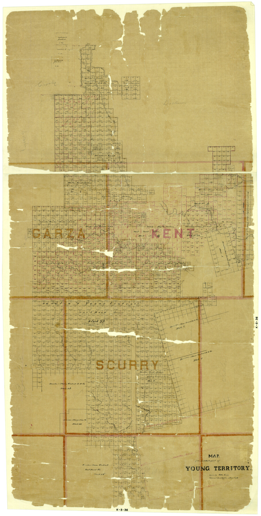
Garza County Sketch File 5a

Print $20.00
- Digital $50.00
Garza County Sketch File 5a
1895
Size 20.7 x 38.2 inches
Map/Doc 10463
Flight Mission No. CRC-3R, Frame 202, Chambers County

Print $20.00
- Digital $50.00
Flight Mission No. CRC-3R, Frame 202, Chambers County
1956
Size 18.7 x 22.4 inches
Map/Doc 84857
DeWitt County Sketch File 14

Print $8.00
- Digital $50.00
DeWitt County Sketch File 14
1873
Size 12.8 x 8.2 inches
Map/Doc 20827
Dallas County Boundary File 6c

Print $4.00
- Digital $50.00
Dallas County Boundary File 6c
Size 14.0 x 8.6 inches
Map/Doc 52227
Flight Mission No. CLL-1N, Frame 112, Willacy County

Print $20.00
- Digital $50.00
Flight Mission No. CLL-1N, Frame 112, Willacy County
1954
Size 18.4 x 20.1 inches
Map/Doc 87046
Crockett County Working Sketch 24

Print $20.00
- Digital $50.00
Crockett County Working Sketch 24
1920
Size 43.0 x 17.7 inches
Map/Doc 68357
Colorado River, Wharton Sheet

Print $6.00
- Digital $50.00
Colorado River, Wharton Sheet
1941
Size 27.3 x 35.7 inches
Map/Doc 65314
Floyd County Working Sketch 10

Print $20.00
- Digital $50.00
Floyd County Working Sketch 10
1916
Size 15.4 x 27.3 inches
Map/Doc 69189

Right of Way & Track Map San Antonio & Aransas Pass Railway Co.

Print $40.00
- Digital $50.00
Right of Way & Track Map San Antonio & Aransas Pass Railway Co.
1919
Size 25.1 x 56.7 inches
Map/Doc 64026
Montgomery County Working Sketch 63

Print $20.00
- Digital $50.00
Montgomery County Working Sketch 63
1964
Size 31.6 x 36.7 inches
Map/Doc 71170
Concho County Working Sketch 13

Print $20.00
- Digital $50.00
Concho County Working Sketch 13
1954
Size 26.3 x 14.1 inches
Map/Doc 68195
You may also like
Map of Sabine County

Print $20.00
- Digital $50.00
Map of Sabine County
1896
Size 25.8 x 17.9 inches
Map/Doc 63012
Bee County Working Sketch 4

Print $20.00
- Digital $50.00
Bee County Working Sketch 4
1930
Size 18.5 x 16.5 inches
Map/Doc 67254
San Augustine County Working Sketch 6

Print $20.00
- Digital $50.00
San Augustine County Working Sketch 6
1935
Size 22.2 x 37.9 inches
Map/Doc 63693
Sutton County Working Sketch 53

Print $20.00
- Digital $50.00
Sutton County Working Sketch 53
1957
Size 36.1 x 37.5 inches
Map/Doc 62396
Mitchell County Boundary File 3

Print $6.00
- Digital $50.00
Mitchell County Boundary File 3
Size 11.2 x 8.6 inches
Map/Doc 57369
Winkler County Sketch File 1 and 2

Print $64.00
- Digital $50.00
Winkler County Sketch File 1 and 2
1900
Size 8.4 x 9.2 inches
Map/Doc 40431
Laneer vs. Bivins, Potter County, Texas

Print $20.00
- Digital $50.00
Laneer vs. Bivins, Potter County, Texas
Size 21.2 x 19.0 inches
Map/Doc 93101
[Sketch for Mineral Application 27669 - Trinity River, Frank R. Graves]
![2860, [Sketch for Mineral Application 27669 - Trinity River, Frank R. Graves], General Map Collection](https://historictexasmaps.com/wmedia_w700/maps/2860-1.tif.jpg)
Print $20.00
- Digital $50.00
[Sketch for Mineral Application 27669 - Trinity River, Frank R. Graves]
1934
Size 27.4 x 42.7 inches
Map/Doc 2860
Nueces County Rolled Sketch 62

Print $20.00
- Digital $50.00
Nueces County Rolled Sketch 62
1977
Size 25.0 x 33.3 inches
Map/Doc 6908
From Citizens of Shelby County for the Creation of a New County (Unnamed), July 14, 1838

Print $20.00
From Citizens of Shelby County for the Creation of a New County (Unnamed), July 14, 1838
2020
Size 25.5 x 21.7 inches
Map/Doc 96383
[I. G. Yates survey and adjacent area south of Runnels County School Land]
![91679, [I. G. Yates survey and adjacent area south of Runnels County School Land], Twichell Survey Records](https://historictexasmaps.com/wmedia_w700/maps/91679-1.tif.jpg)
Print $20.00
- Digital $50.00
[I. G. Yates survey and adjacent area south of Runnels County School Land]
Size 15.1 x 14.5 inches
Map/Doc 91679
[Map Showing Surveys in Dimmit & La Salle Counties, Texas]
![75791, [Map Showing Surveys in Dimmit & La Salle Counties, Texas], Maddox Collection](https://historictexasmaps.com/wmedia_w700/maps/75791.tif.jpg)
Print $20.00
- Digital $50.00
[Map Showing Surveys in Dimmit & La Salle Counties, Texas]
Size 29.5 x 29.5 inches
Map/Doc 75791